West Kagawa · MitoyoNo.627★★★Open in map →
Chichibugahama Beach
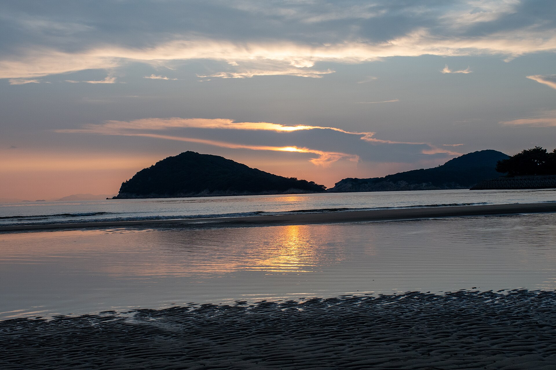
A gently shelving beach in western Kagawa, where the outgoing tide leaves a sheet of water thin enough to reflect the sky. Get the tide and the wind right and the sand doubles everything standing on it.
- FromTakamatsu Station
- ~1 hr 30 minJR, then community bus
- Get off atTakuma Station (JR Yosan Line)
- From there
- Chichibugahama Beach
Where it is
19 more notes in Kagawa · open the map →What to look for — in walking order
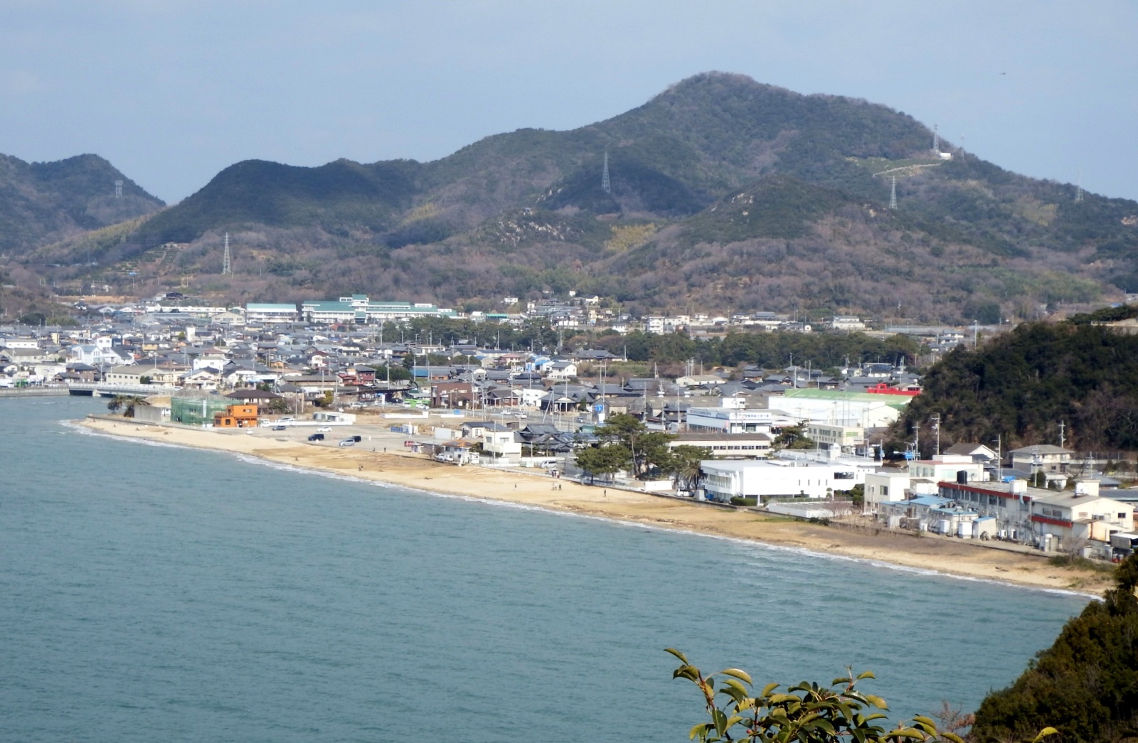
- The shore road and its cafessmall cafes and shops along the prefectural road behind the beach
- Mitoyo Tourism Exchange Bureauthe town's visitor office, sited on the beachfront, which publishes the day's sunset time
- The open sandthe beach's full sweep, shallow and close to level from end to end
- The tidal shallowsthe wet apron left by the outgoing tide, where the reflection forms
- The Hiuchi-nada horizonthe stretch of open water the sun goes down over
How to actually get there
- Takamatsu Station → Takuma Station (JR Yosan Line, local or limited express).
- Takuma Station → Chichibugahama stop (Mitoyo community bus, Nio Line; Monday to Saturday, not on Sundays or public holidays).
- Chichibugahama stop → the beach (the sand begins at the shore road).
- JR Yosan Line to Takuma
- Takuma is 42.0 km from Takamatsu on the Yosan Line, served by local trains and by some Shiokaze and Ishizuchi limited expresses. From the station the last leg is the Mitoyo community bus. Allow about an hour and a half door to door, and build the arrival around sunset rather than around the trains.
- Back to Takuma Station
- The community bus is the return leg, and it is a municipal service with a thin evening timetable, so photograph the departure board at the stop when you arrive. Between April and the end of September the Nio Line adds an extra Chichibugahama to Takuma run for the sunset crowd. Outside that period, settle the way back before the light goes.
About the place
The beach runs about one kilometre along the base of the Shonai Peninsula, facing the Hiuchi-nada at the western end of the Inland Sea. It shelves so gently that the tide withdraws a long way, leaving a broad, flat apron of wet sand behind it. That apron is the whole point. A thin sheet of water resting on level ground behaves like glass, so the sky, the clouds and anyone standing out there are reproduced underfoot. The comparison people reach for is the Salar de Uyuni in Bolivia, and it is why a swimming beach became a photography destination.
How to enjoy it
The window is narrow and it is published: the roughly thirty minutes of magic hour around sunset, on days when the wind drops and the low tide falls near that hour. Sunset times are on the tourism bureau's site and tide times come from the Japan Meteorological Agency, whose nearest station is Tadotsu. Bring a towel, and boots if you would rather not walk out barefoot.
Background & history
The beach was known locally as a swimming spot long before it was known as a photograph. Its second life began in the 2010s, when images taken here spread on social media and pulled in visitors from outside the prefecture. It was later chosen as number seventy of the Shikoku Eighty-Eight Views, listed not for the sand but for the magic hour before sunset. Cafes and small shops have opened along the shore road in the years since, and the beach now has a season of its own.
Before you go
- Cash
- The beach is open ground with no gate and nothing to pay. The community bus is run by the city rather than a rail operator, so carry coins and do not assume an IC card will be read. Car parking beside the beach is free, with a separate paid lot that has to be booked.
- Good to know
- The community bus does not run on Sundays or public holidays, which is exactly when most people want to come. There is no shelter out on the sand, and the wind off the water is the thing that ruins the reflection, so a breezy forecast is a reason to move the date.
- Another way
- The Takase-Nio community bus line sets down at Nio Chosha-mae, about fifteen minutes on foot from the beach, and it also rests on Sundays and holidays. The Hearts Shuttle links Takuma and Kan-onji stations by way of the beach. Kotobus runs a booked coach from Kotohira via Takuma, timed to sunset. By car it is about twenty minutes from the Sanuki Toyonaka or Mitoyo Torisaka interchanges.
- After you get off
- Takuma Station is where the rail leg ends. The Nio Line community bus sets down at the Chichibugahama stop on the shore road, with the sand immediately in front of it. A taxi from the station is the fallback on days the bus is not running.
Nearby notes
 Dokudami / CC BY-SA 4.0
History · Kagawa★★
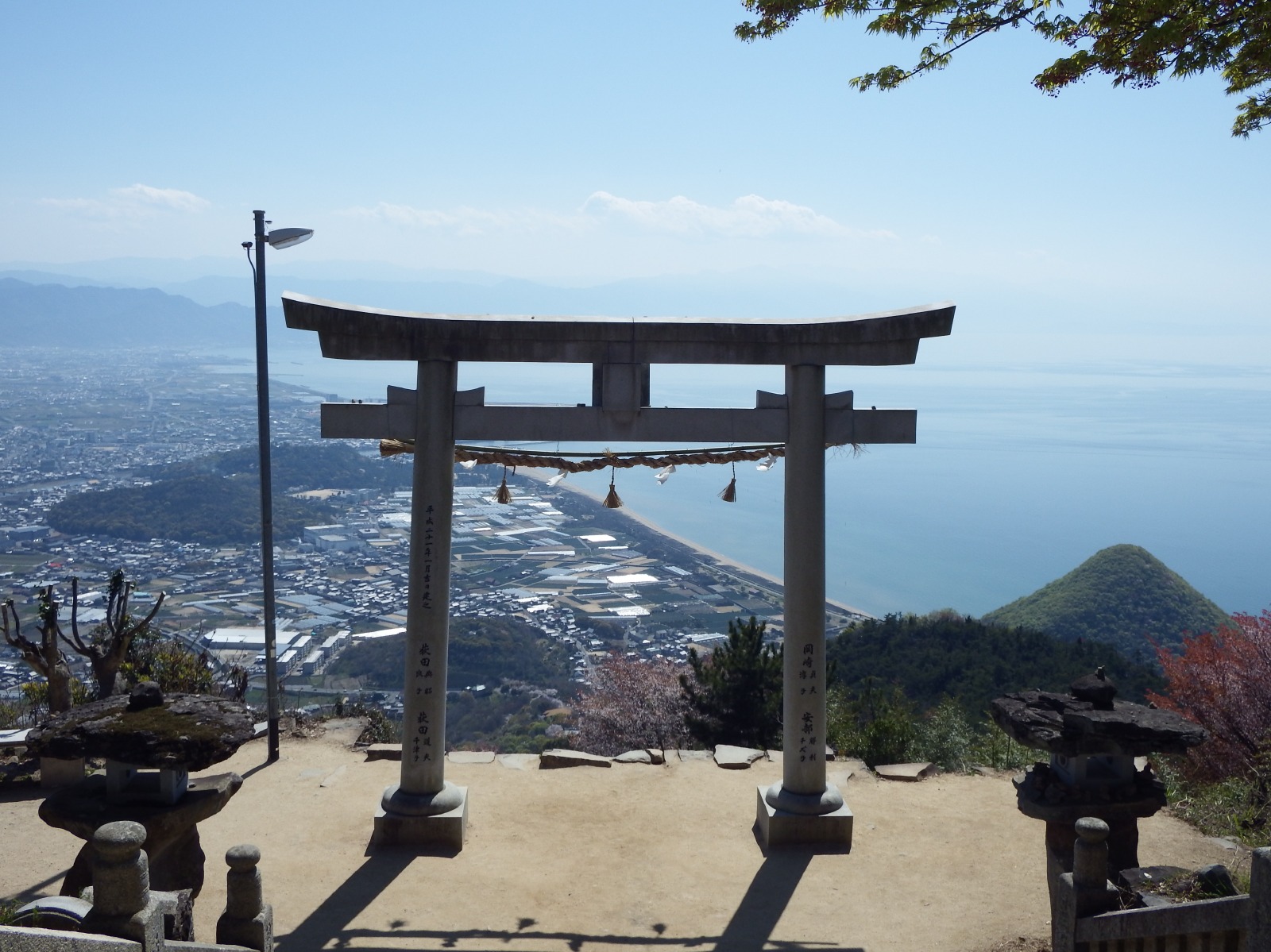
Takaya Shrine Sky Torii
3.1 km · straight line
 Naokijp / CC BY-SA 4.0
Local life · Kagawa★★
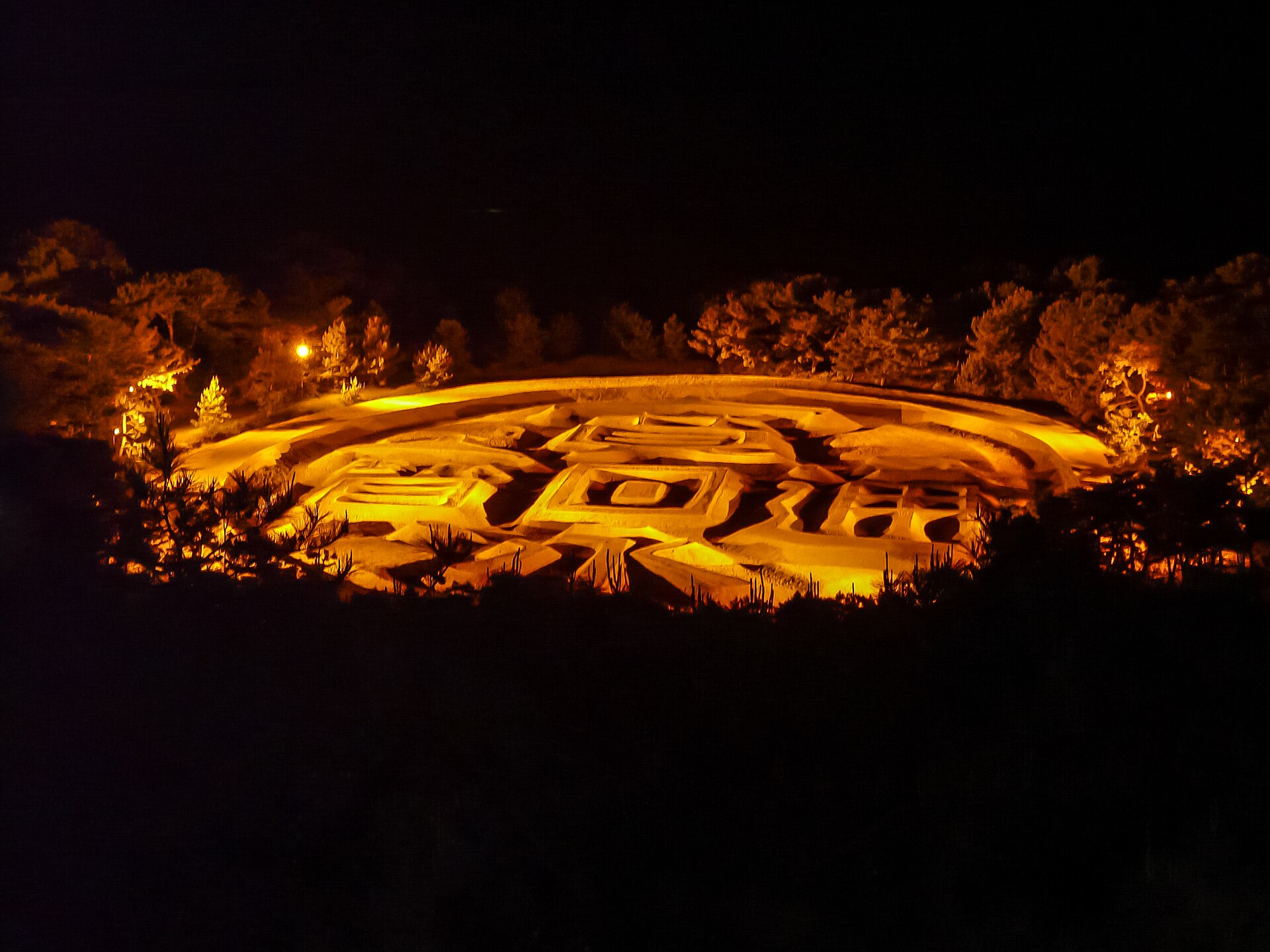
Zenigata Sunae
6.1 km · straight line
 Bakkai / CC BY 3.0
Local life · Kagawa★★
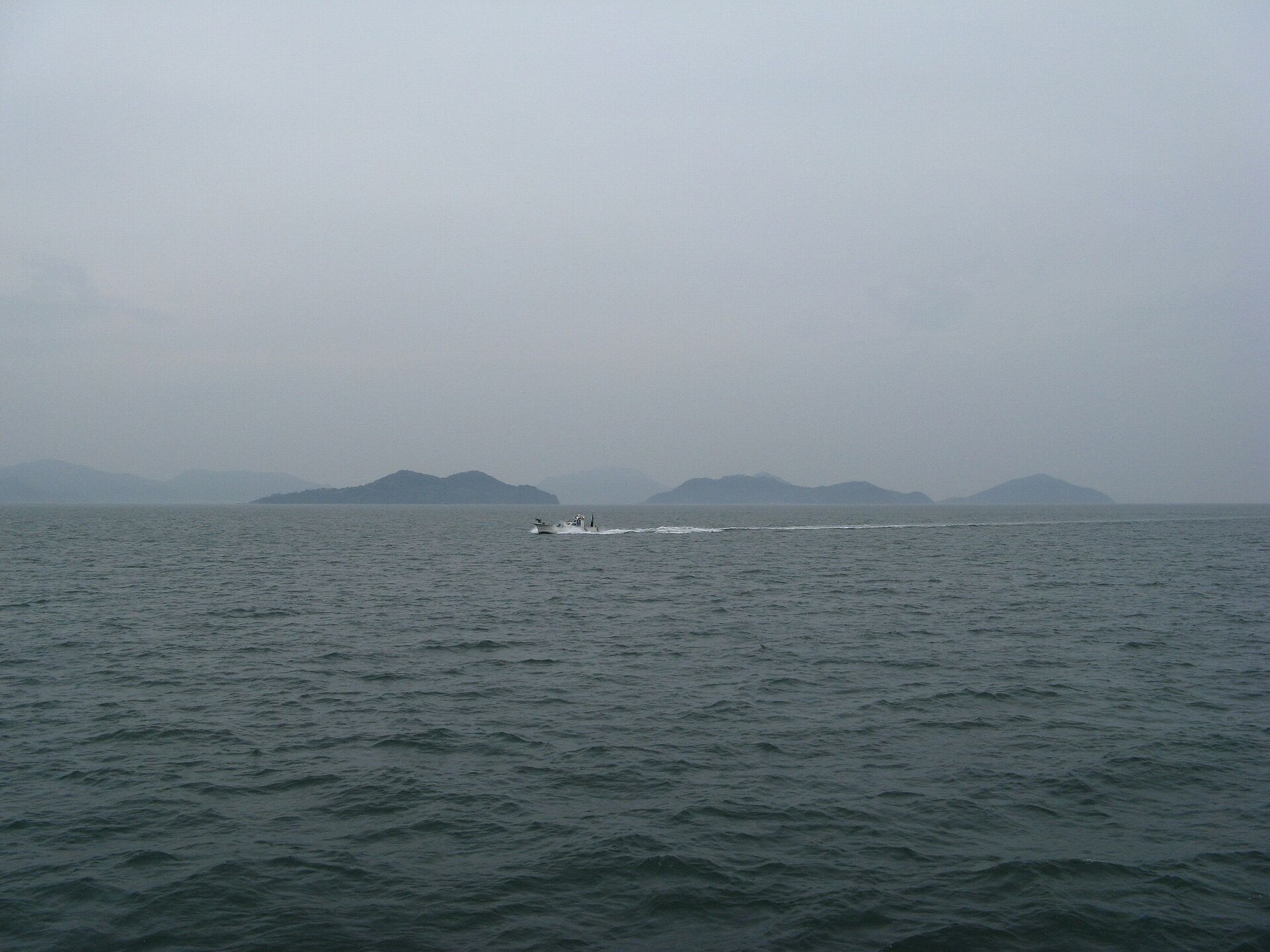
Awashima Island
9.4 km · straight line
 せんえふ / CC BY-SA 4.0
Nature · Kagawa★★
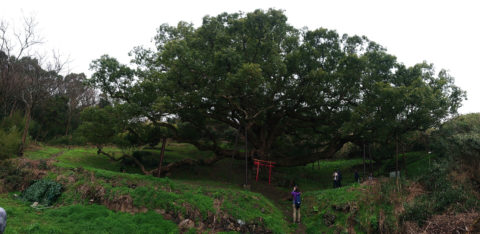
Shishijima's Great Camphor
9.8 km · straight line
Distances are straight lines on the map, not travel times.