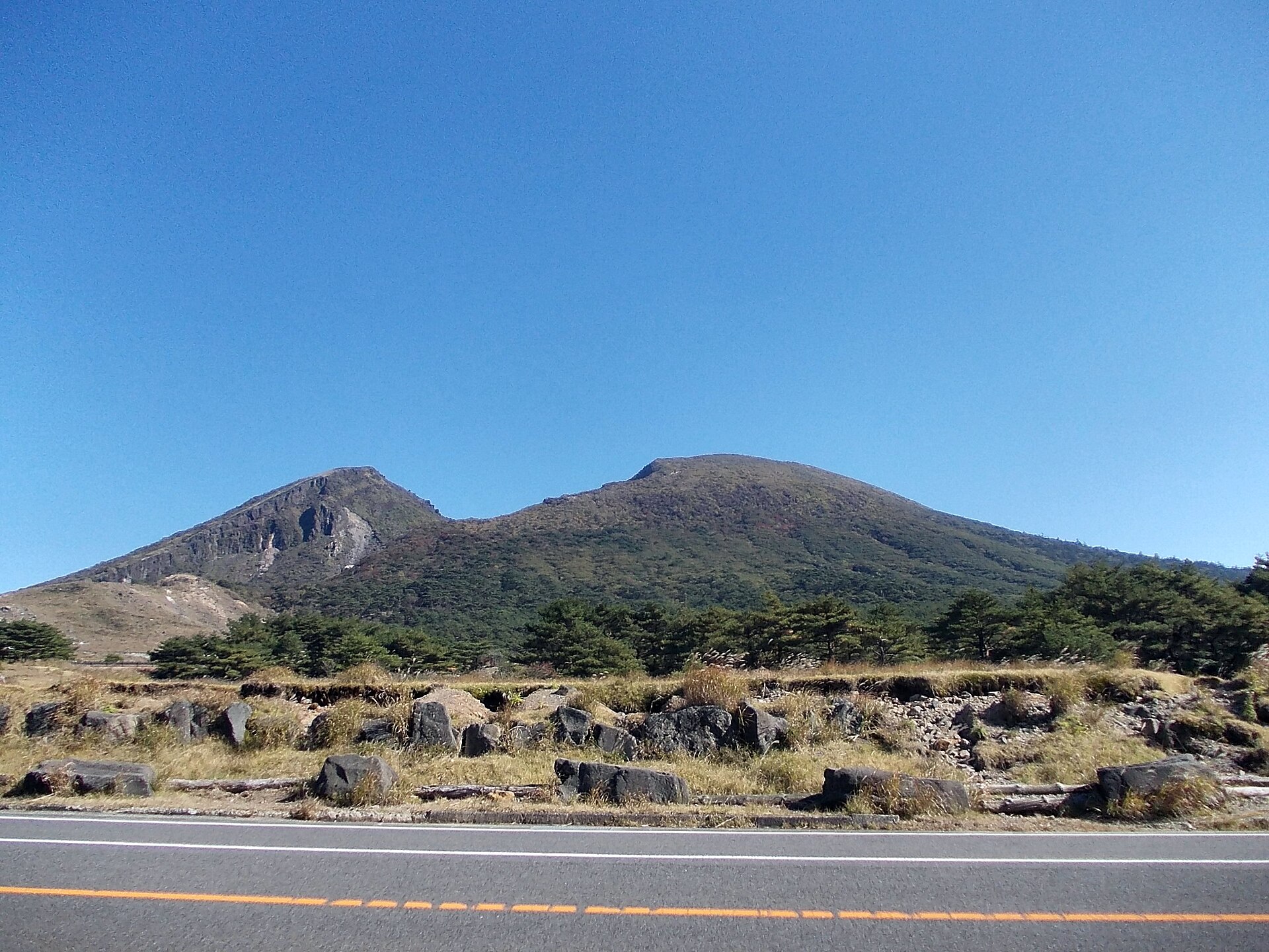
West Miyazaki · EbinoNo.513★★★Open in map →
Ebino Kogen
— A crater-lake plateau in the Kirishima range
A high basin in the Kirishima volcanoes, ringed by peaks and holding three crater lakes within an easy walk of each other. It is national park land under active monitoring, and part of the road across it opens only at weekends.
- FromEbino Station (JR Kitto Line)
- Half a dayRental car or taxi, no bus
- Ebino Kogen
Where it is
18 more notes in Miyazaki · open the map →What to look for — in walking order
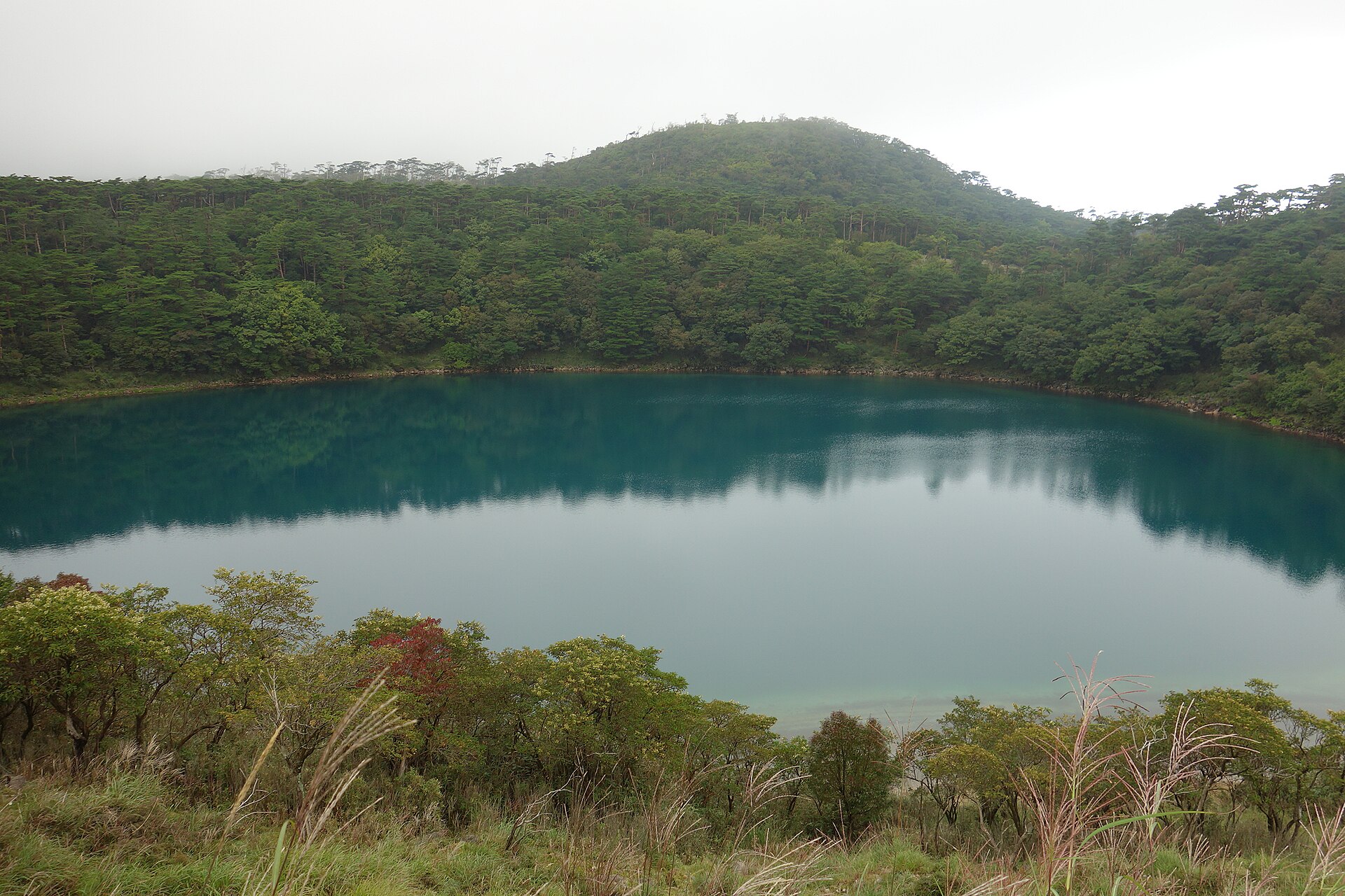
- Ebino Eco Museum Centerthe park visitor centre at the trailhead, where the day's closures are posted
- Karakunidake trailheadthe standard start for the highest peak in the range, straight off the plateau
- Hakushi-ikethe shallowest of the three crater lakes and the first on the nature trail
- Rokkannon-miikea crater lake held in forest, with a ridge viewpoint above it
- Fudo-ikea roadside crater lake, and the turning point of the walk while restrictions hold
How to actually get there
- Ebino Station (JR Kitto Line) → Ebino Kogen (taxi or car; there is no bus).
- Or: Kyushu Expressway, Ebino IC → Prefectural Route 30 up to the plateau.
- Eco museum car park → Hakushi-ike → Rokkannon-miike on the nature trail.
- Rokkannon-miike → Fudo-ike, then back the same way while the restriction holds.
- Rental car from Ebino IC on the Kyushu Expressway
- There is no bus service to the plateau. The usual approach is to leave the Kyushu Expressway at Ebino IC and climb Prefectural Route 30, the Ebino-kogen Oda line, which is the side that stays open. If you are travelling by rail, Ebino Station on the JR Kitto Line is the nearest stop, but you will still need a taxi or a car for the climb.
- Down the way you came
- Unless the weekend opening is in force, the plateau is a there-and-back trip: return down Route 30 towards Ebino IC. Mountain weather closes in quickly and the descent is unlit, so keep daylight in hand. If a taxi brought you up, arrange the pick-up before you are dropped off.
About the place
Ebino Kogen lies in a basin among the Kirishima peaks, with Karakunidake, the highest of them, rising straight from the edge of the car park. Three crater lakes sit inside the basin — Hakushi-ike, Rokkannon-miike and Fudo-ike — strung together by a marked nature trail short enough to walk in a morning. The ground under all of it is still working. Sulphur vents on Iwo-yama, immediately to the west, have closed and reopened the road across the plateau more than once. Miyazaki Prefecture and Ebino City each publish the day's road and trail status, and that notice is the thing to read before you set out.
How to enjoy it
Read the prefecture and city notices the night before, then start from the eco museum and walk the pond trail out to Fudo-ike and back. Give that a morning. Keep the afternoon for the Karakunidake trail if the routes are open, and remember that the crossing to Iwo-yama has only a weekend daytime window — on a weekday you come in and leave by the same road.
Background & history
Kirishima was designated a national park in 1934, in the first group Japan created, so the plateau has been protected visitor country for most of a century. Iwo-yama, the sulphur mountain on its western side, is the youngest vent here, built by a flank eruption on Karakunidake rather than a summit one. It turned restless again in recent years. The road closures and trail restrictions in force today all date from that episode, and they have been eased and retightened repeatedly since.
Before you go
- Cash
- The nature trail costs nothing to walk. The eco museum, a foot-bath stop and a campground operate on the plateau, and Ebino City lists them as running normally, but this is mountain country with few counters — carry cash and water up with you rather than counting on what is open.
- Good to know
- This is the part that changes. Shinmoedake is under a crater-area restriction, and one ridge route towards Karakunidake remains closed while the others are open. The pond trail runs out to Fudo-ike and turns back there. On Route 1, between the Koshikidake trailhead and the junction with Route 30, traffic is allowed only on Saturdays and Sundays from 9:00 to 17:00, and only for vehicles with a roof. Both the prefecture and the city keep these notices updated.
- Another way
- The other way in is from the Kagoshima side, climbing from the Kirishima onsen district. What does not work at present is the approach from Kobayashi — Ebino City states the plateau cannot currently be reached from that direction. Miyazaki Airport suits the northern approach and Kagoshima Airport the southern one.
- After you get off
- Ebino Station is the nearest railway stop and it is nowhere near walking distance of the plateau; the climb is long and there is no footway. Take a taxi or drive up from there. On the plateau itself, everything starts from the eco museum car park, and the three lakes are all on foot from it.
Nearby notes
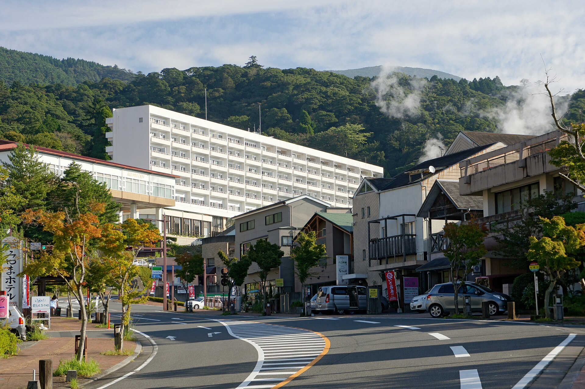 663highland / CC BY 2.5
Onsen · Kagoshima★★
Kirishima Onsen Village
6.7 km · straight line
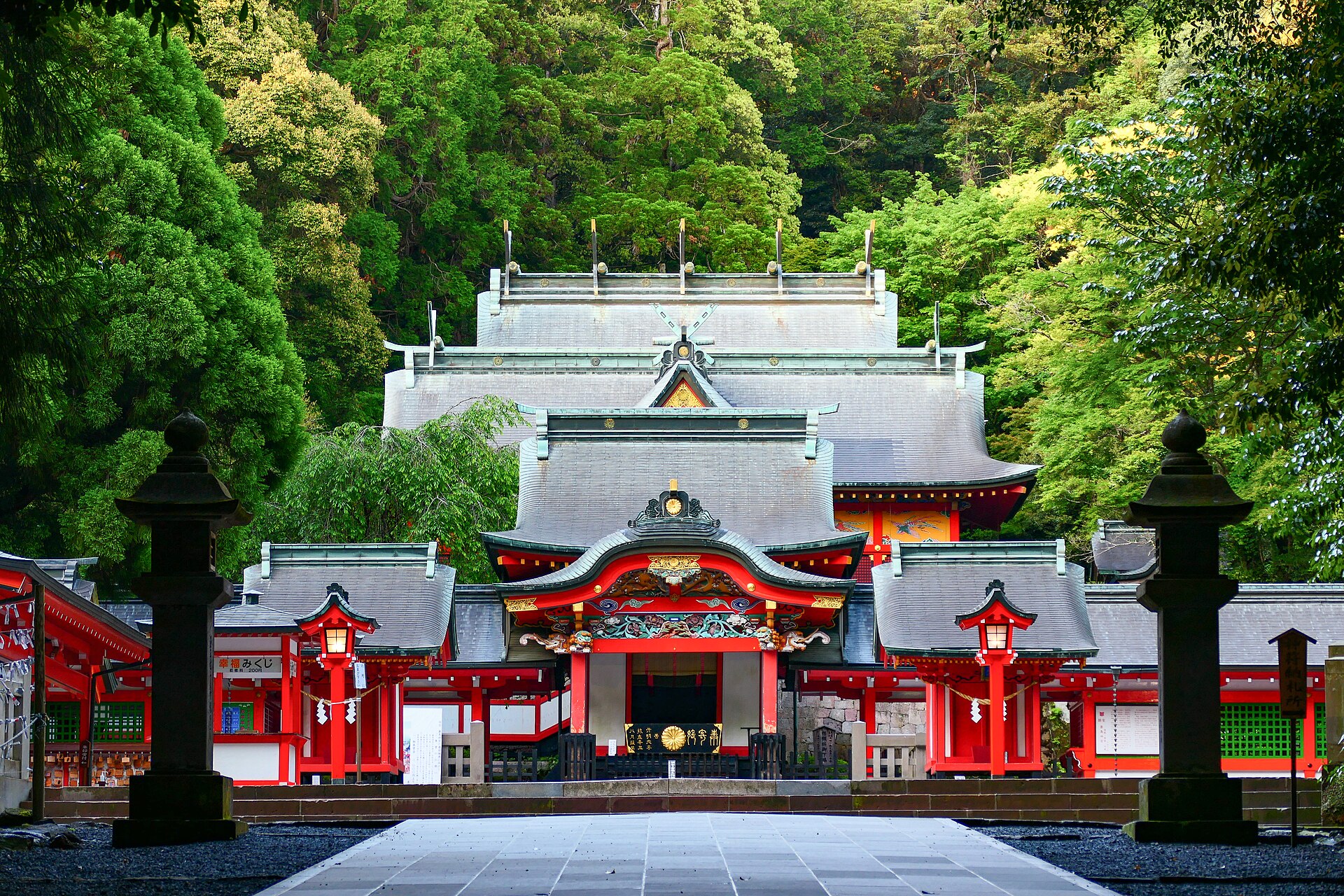 MaedaAkihiko / CC BY-SA 4.0
History · Kagoshima★★★
Kirishima Jingu
10.3 km · straight line
Distances are straight lines on the map, not travel times.