Northwest Nagano · HakubaNo.746★★Open in map →
Happo Pond
— An alpine pond on the open ridge above Hakuba
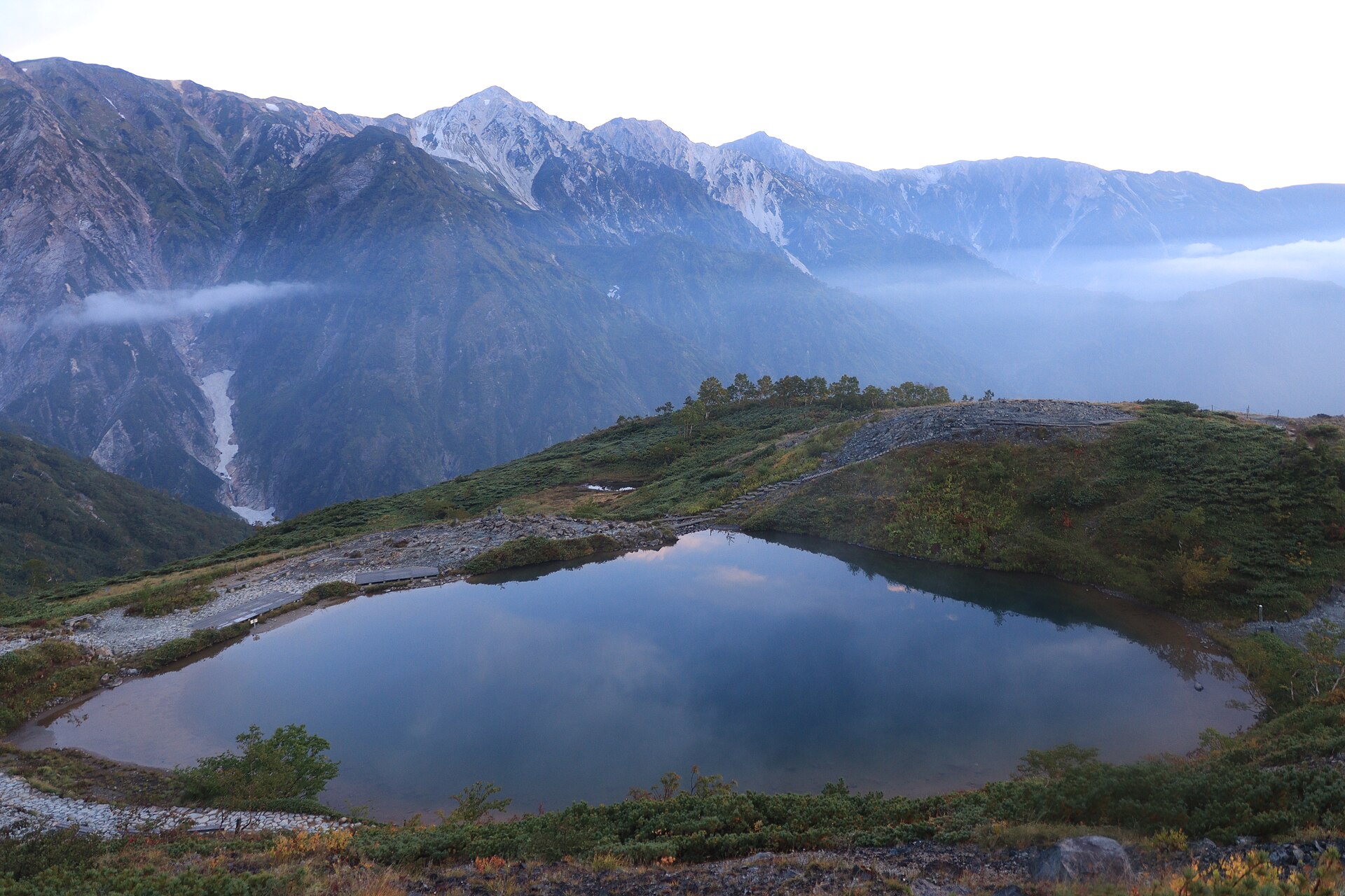
A small alpine pond on the open ridge above Hakuba, reached by lift and then a walk along the crest. On a clear, windless day the peaks of the Hakuba Sanzan are reflected whole in it.
- FromNagano Station
- ~3 hrBus from Nagano, then the Happo Alpen Line
- Get off atHakuba Station (JR Oito Line)
- From there
- Happo Pond
The sweet spot
This is a well-known walk, not a secret one; on a fine August weekend there is a line of people on the ridge. What is worth knowing is that the pond is the turning point rather than a waypoint. The operator's own notices treat the ground above the lodge as mountain terrain — a filed climbing plan and proper equipment — so the honest day plan is to make the pond the destination and go back down from it.
Where it is
27 more notes in Nagano · open the map →What to look for — in walking order
- Happo-ike Sansōthe lodge at the top of the last lift, where the machinery stops and the ridge path starts
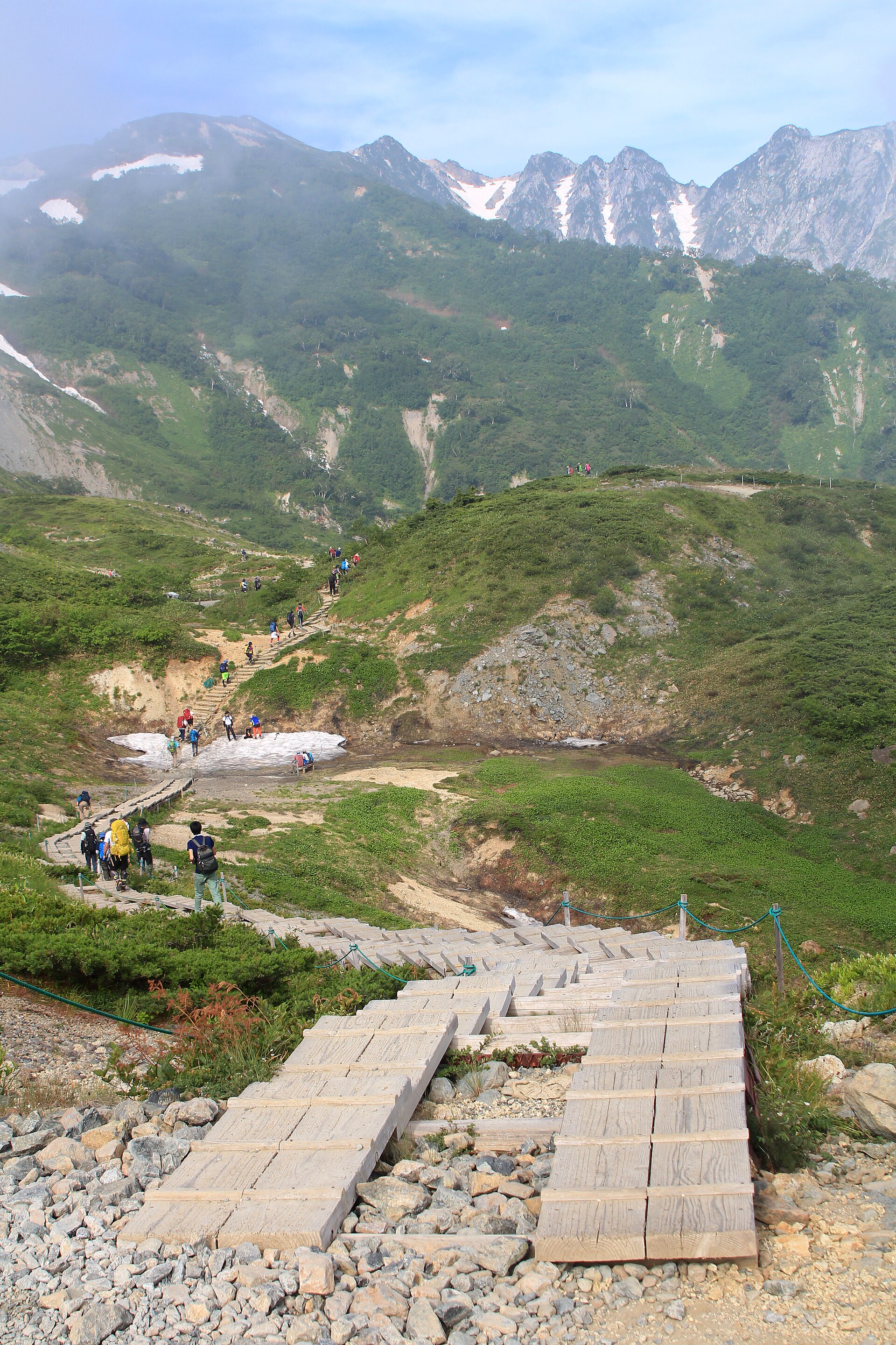
- The boardwalk routethe left-hand line, laid on planks across the slope and the gentler of the two ways up
- The ridge routethe right-hand line, shorter and steeper, over loose serpentinite that turns slippery wet
- The Third Cairnthe stone marker on the rise directly above the pond, and the point the water first appears
- Happo Pondthe hollow below the cairn, with a boardwalk running round its rim to keep boots off the turf
How to actually get there
- Nagano Station → Hakuba by highway bus.
- Local bus or taxi to the Happo area, then walk through the village to the gondola.
- Happo Alpen Line — gondola, Alpen Quad, Grat Quad — up to Happo-ike Sansō.
- Ridge route or boardwalk route to the pond, then back down on the other one.
- Nagano to Hakuba, then the Alpen Line
- Nagano Station → Hakuba by Alpico highway bus, which is the usual way in; the JR Oito Line reaches Hakuba Station as well but runs less often. From the village a local bus or taxi takes you across to the Happo base, and the Happo Alpen Line — the gondola, then the Alpen Quad, then the Grat Quad — lifts you the rest of the way to the ridge.
- Back down to Nagano
- For almost everyone the lifts are the only way off the ridge, and the last downward run is fixed and posted each day. Miss it and the descent on foot is long. Buses toward Nagano also stop in the evening, so a late start up and a same-day Shinkansen do not combine well.
About the place
The ridge above Hakuba is serpentinite, and that single fact shapes everything on it. The rock makes poor soil for trees, so the forest stops far below where it would otherwise stand and the crest is left open — grass, bare stone and alpine flowers at heights that ought to be timber. Happo Pond sits in a hollow near the top of that open stretch, at 2,060 metres. The lifts end at the lodge, Happo-ike Sansō, at 1,830 metres, and everything after that is walked. Because nothing tall grows in between, the peaks are in front of you from the first step rather than arriving at the end.
How to enjoy it
Two lines run from the lodge to the pond: the ridge route is the short one at about sixty minutes, the boardwalk route about ninety, and most people go up one and come down the other. Take the boardwalk upward if the rock is wet. A reflection needs still air and a clear sky and gets neither on demand — cloud tends to build on the peaks as the day warms, which is worth weighing against the temptation of a slow start. Lift dates shift every year and the last descent is earlier than it feels, so read the day's timetable at the base before committing to the long way round.
Background & history
The pond is not a crater and not a glacial tarn. Part of the ridge broke away and slid, damming a hollow that then filled with meltwater. The serpentinite underneath is the same reason the ground moves and the trees do not take, so the pond and the view it holds come out of one weakness in the rock. For most of the year none of it is visible: snow covers the basin, and the pond stays frozen well past the start of the walking season, often clearing only once summer is properly in. What visitors see is a short window in an otherwise white place.
Before you go
- Cash
- The Alpen Line is sold as one return ticket covering the whole line, bought at the base station; rates are published by the operator and change with the season, so confirm on the day. Nothing is sold on the ridge itself, so carry water and food up with you.
- Good to know
- Operating dates run from early summer into autumn and are announced fresh each year rather than fixed. Snow lies on the upper ridge long after the lifts open, and the pond can still be frozen; the operator posts trail conditions daily and warns that anything above the lodge needs mountaineering kit and a filed plan. Weather turns fast at this height.
- Another way
- By car the village is reached up the valley, with parking at the Happo base, though Hakuba fills in high summer and on autumn weekends. A car does not shorten the climb — the lifts still do that part, and their timetable governs your day either way.
- After you get off
- Hakuba Station stands down in the valley, not at the mountain. From the station forecourt local buses run west to the Happo area, and from that stop there is still a walk through the village to the gondola station. Allow for the leg — it is the part people forget when they read the lift times.
Nearby notes
 Asturio Cantabrio / CC BY-SA 4.0
History · Nagano★★
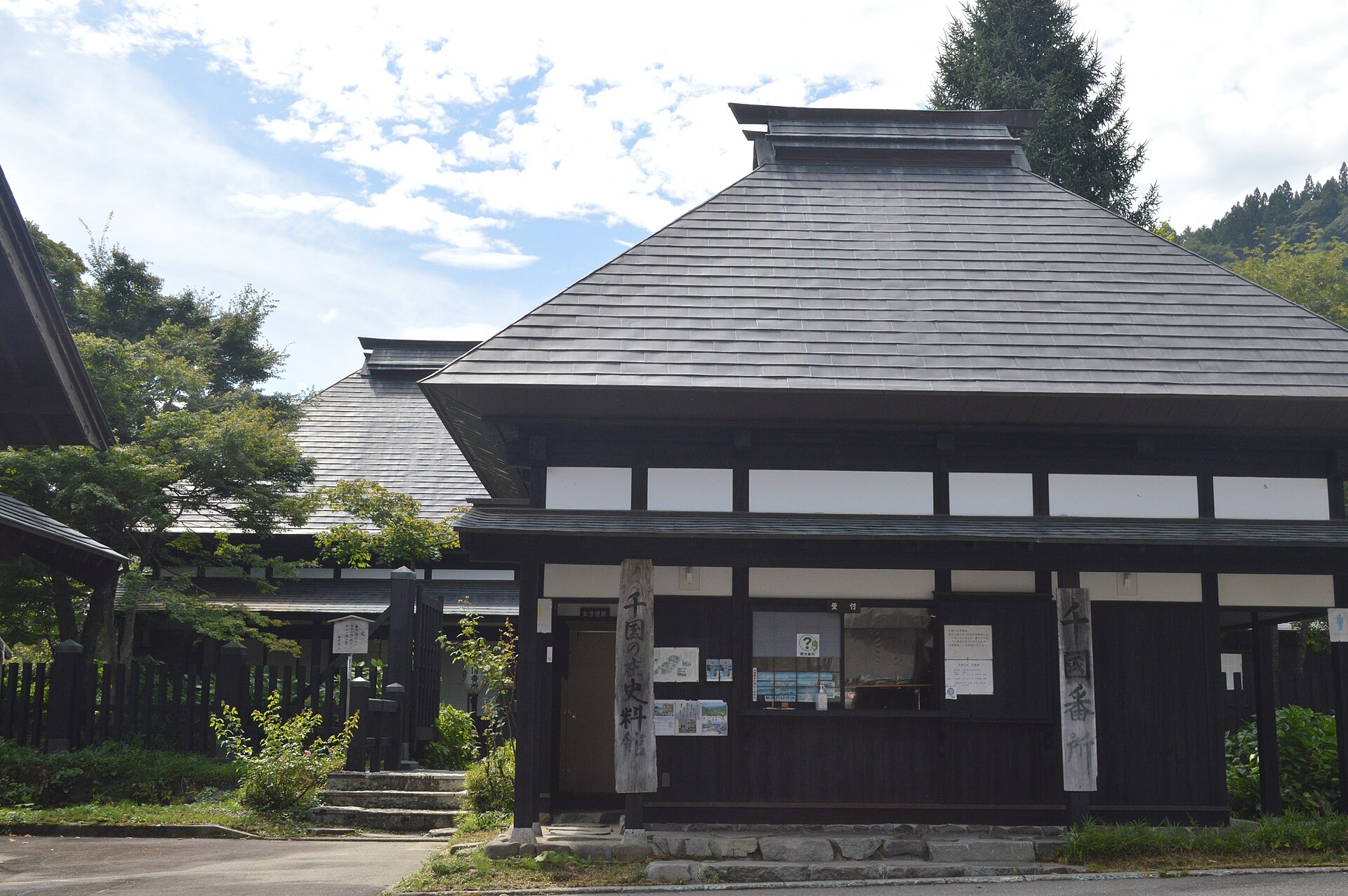
Chikuni no Sho Museum
12.0 km · straight line
 タチヤマカムイ / CC BY-SA 4.0
Nature · Toyama★★★
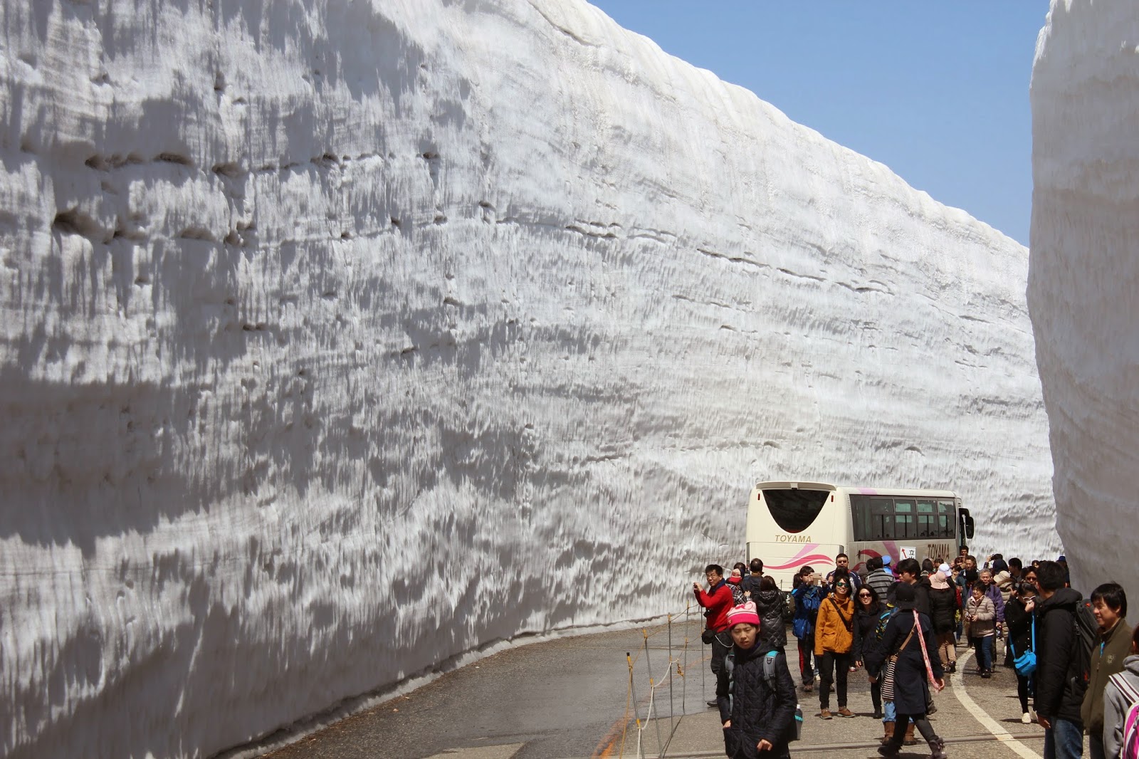
Tateyama Kurobe Alpine Route
21.3 km · straight line
 Luka Peternel / CC BY-SA 4.0
Nature · Toyama★★★
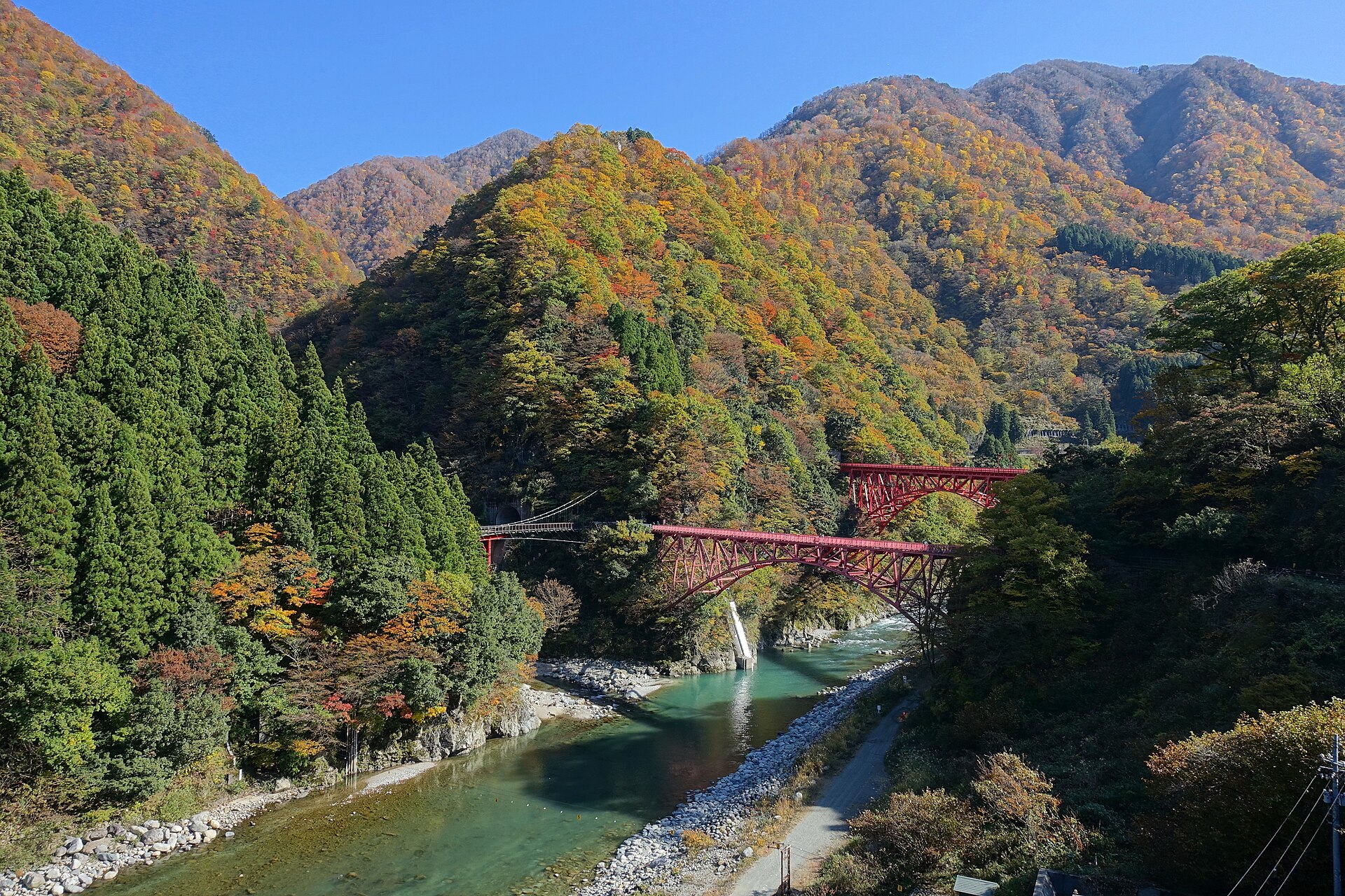
Kurobe Gorge Railway
22.2 km · straight line
 TTTNIS / CC0
History · Nagano★★★
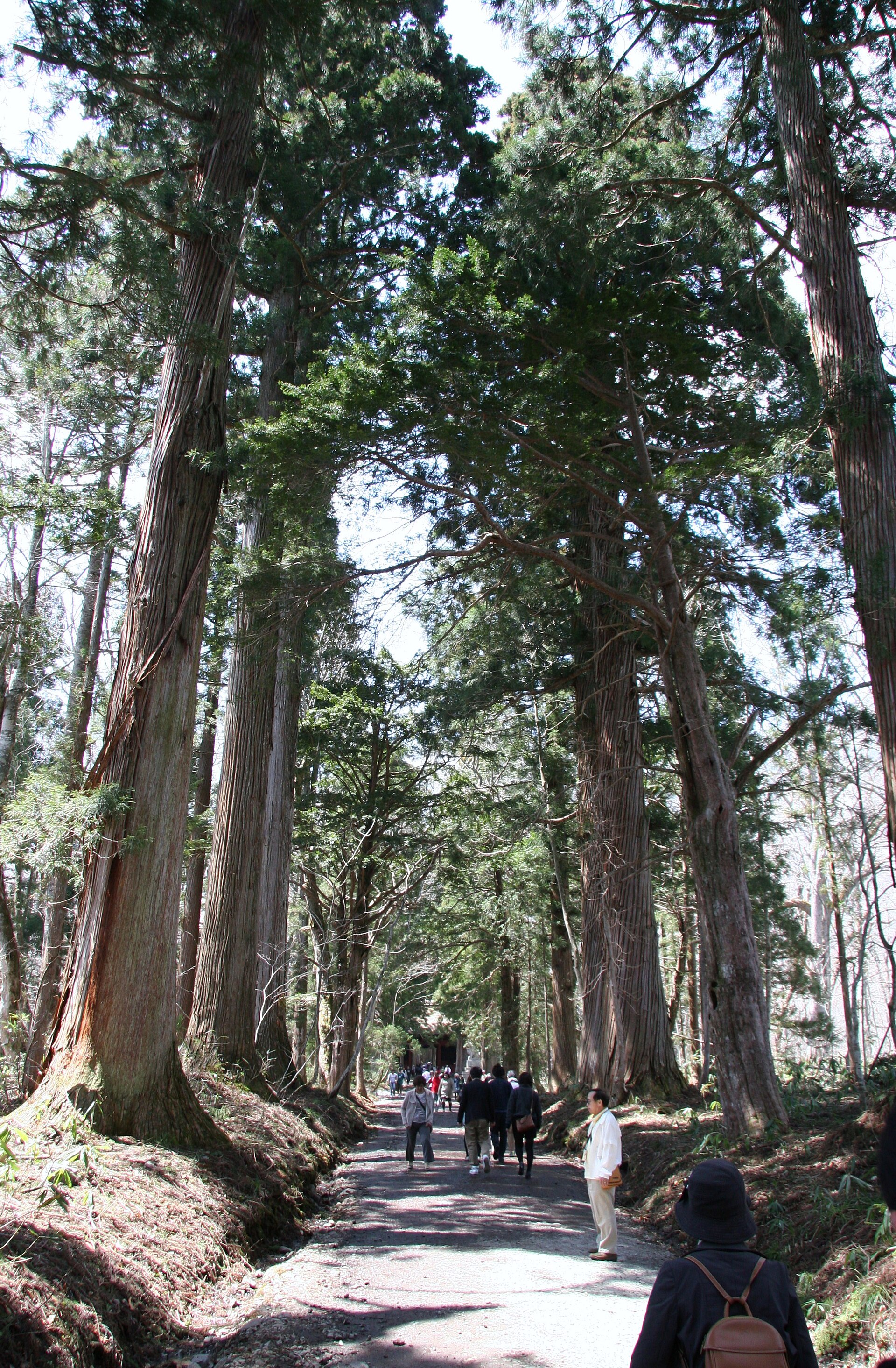
Togakushi Shrine
26.0 km · straight line
Distances are straight lines on the map, not travel times.