East Ehime · SaijoNo.543★★★Open in map →
Mount Ishizuchi
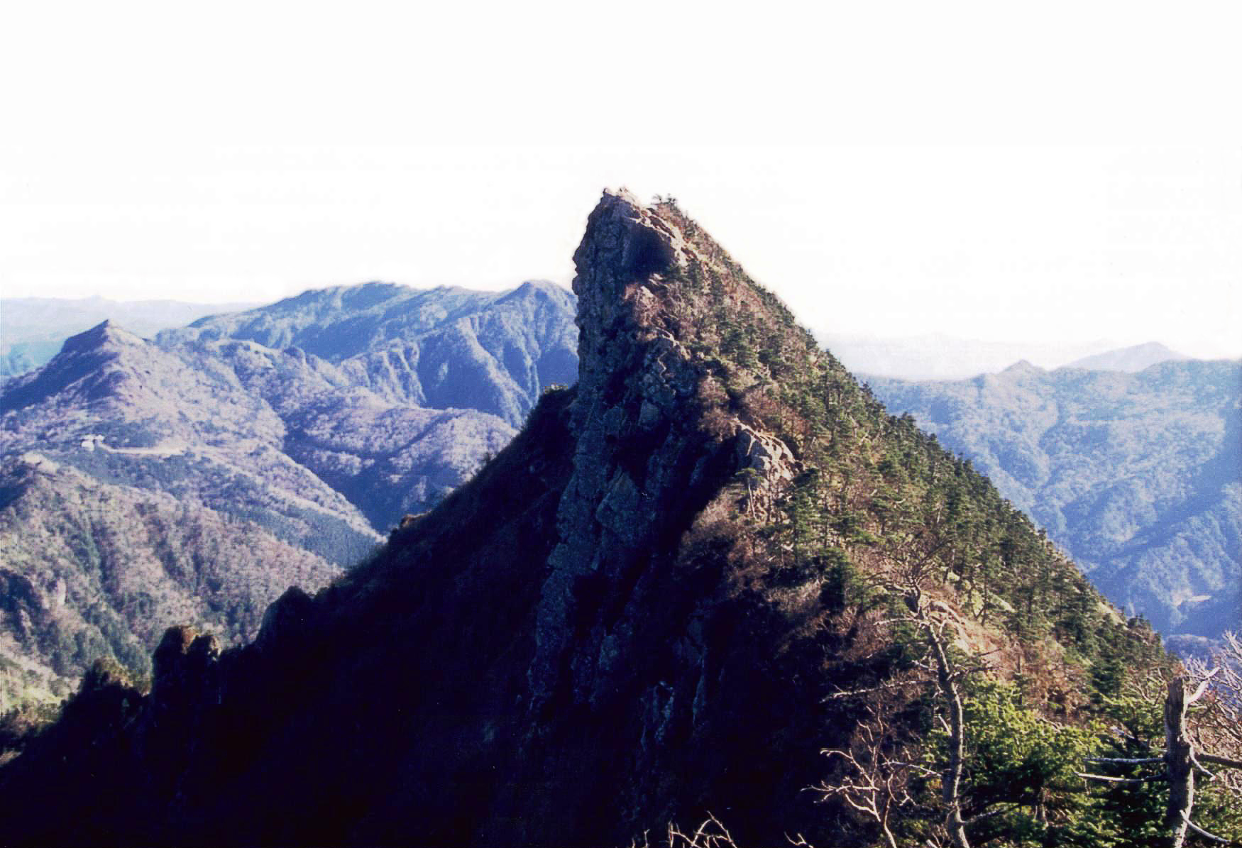
The highest mountain in western Japan, rising on the border of Saijo and Kumakogen in Ehime. It has been climbed as an object of worship far longer than as a summit, and four hanging chains still mark the ascetics' way up.
- FromIyo-Saijo Station (JR Yosan Line)
- ~half a dayBus + ropeway, few daily runs
- Mount Ishizuchi
Where it is
29 more notes in Ehime · open the map →What to look for — in walking order
- Joju Shrinethe mid-mountain hall, reached on foot from the ropeway's upper station with the peak framed behind it
- Hatchozakathe saddle where the trail drops away before the long climb back up toward the ridge
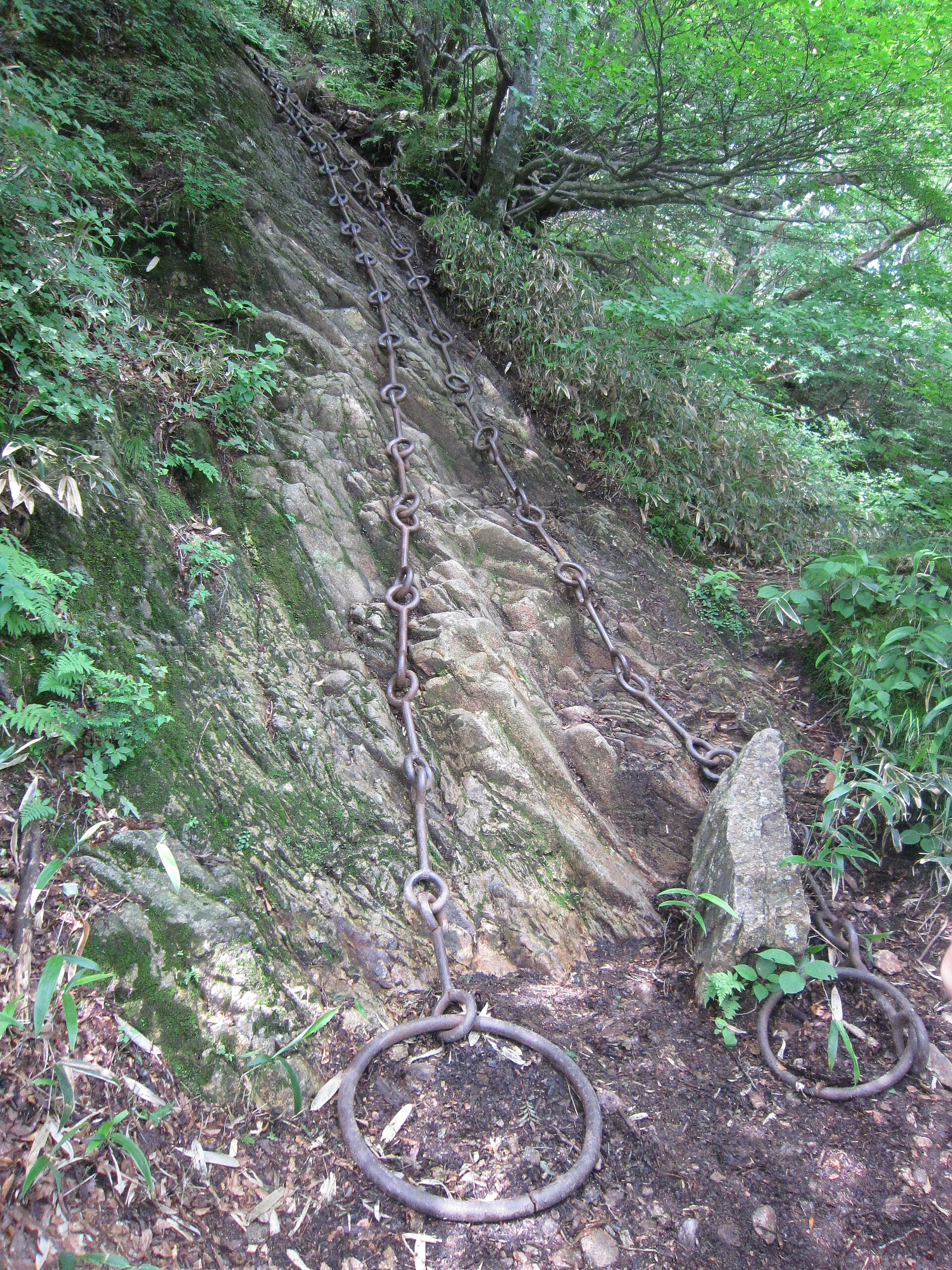
- Tameshi-no-kusarithe first chain, about 74 metres of iron links hung on bare rock, with a footpath around it
- Misen summit hallthe shrine building on the broad upper shoulder, where most climbers stop and turn back
- Tengudakethe true high point, a narrow exposed spine a short scramble beyond Misen
How to actually get there
- Iyo-Saijo Station → Ropeway-mae (Setouchi Bus toward Nishinokawa; only a handful of departures a day).
- Lower station → Joju station (ropeway, about 8 min).
- Joju station → Joju Shrine → Hatchozaka → the chain sections, or the bypass path beside each.
- Misen summit hall → Tengudake, then back down the same way in time for the last bus.
- Bus and ropeway from Iyo-Saijo Station
- Iyo-Saijo Station →(Setouchi Bus toward Nishinokawa, alight at Ropeway-mae)→ the ropeway's lower station, then the cable car up to Joju station at about 1,300 metres. Buses on this route run only a handful of times a day, so build the trip around the timetable rather than the other way round.
- Return to Iyo-Saijo Station
- Come down by the same ropeway and bus. The last bus down the valley leaves well before evening, and missing it means a taxi or a night on the mountain — check the return departure before you start climbing, not after.
About the place
Ishizuchi stands at 1,982 metres, the highest ground in Japan west of the Kinki region. The peak is shared between Saijo, on the Seto Inland Sea side, and Kumakogen inland. Its rock narrows near the top: the true summit, Tengudake, lies a short exposed traverse beyond Misen, the broader shoulder where the shrine's summit hall stands and where most climbers turn around. Four sets of iron chains hang from the upper slabs, hung for ascetic practice rather than as climbing aids, and every one of them has a marked bypass path. The mountain also gives its name to the range running east and west of it.
How to enjoy it
The ropeway takes about eight minutes to lift you from the valley to the mountain's shoulder, and going up on one of the first cabins of the day leaves room for the climb and for the weather to turn later on. The mountain's opening festival runs from 1 to 10 July, when the trail is at its busiest and its most ceremonial. Above the treeline the temperature drops sharply from what it was at the bottom, so carry a layer even in summer.
Background & history
Ishizuchi Shrine venerates the peak itself; the mountain drew ascetics long before it drew hikers. Tradition credits its opening to En no Gyoja, the semi-legendary founder of Shugendo, and the name of the mid-mountain shrine, Joju, is said to come from words he spoke there — that his wish had been fulfilled. The shrine is not one building but four: the main hall down in Saijo, Joju partway up, a hall of distant worship at Tsuchigoya, and the summit hall on Misen. The chains on the upper slopes belong to that practice, not to modern mountaineering.
Before you go
- Cash
- The mountain and the shrine cost nothing to visit; the ropeway is the paid leg, ticketed one way or return at the lower station. Fares and running hours shift with the season and with festival days, so confirm them before the day rather than on it.
- Good to know
- The ropeway shuts for periodic inspection and its hours move with the season — a closure day here strands the whole plan, so check before travelling. Snow and ice close the upper route in winter, and the summit hall is attended only through the warmer months. After rain the chains are wet rock: take the bypass paths rather than the links if the weather has turned.
- Another way
- The other main way up starts at Tsuchigoya, reached by the Ishizuchi Skyline road from the Kumakogen side. That route joins the ridge without the ropeway and is the gentler of the two, and there is a hall of distant worship at the road's end.
- After you get off
- Iyo-Saijo Station is the rail end of the trip; everything above it is bus, then ropeway, then foot. From the ropeway's upper station a wooded path climbs to Joju Shrine, and the trail proper begins through the shrine gate beyond it.
Nearby notes
 HN:依存性だんぢり中毒 / Public domain
Culture · Ehime★★
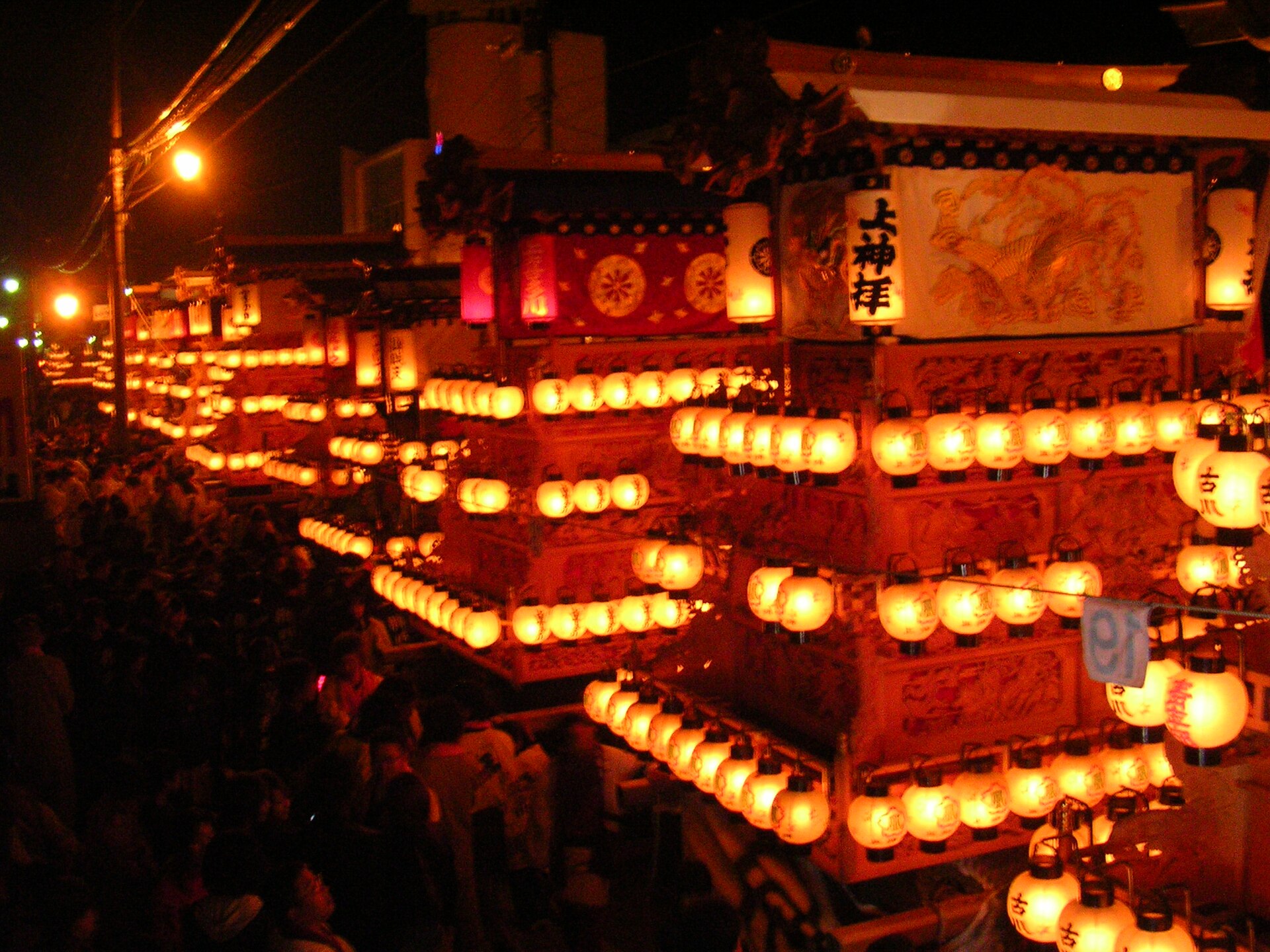
Saijo Festival
15.4 km · straight line
 ぺ有家音 / CC BY-SA 3.0
Local life · Ehime★
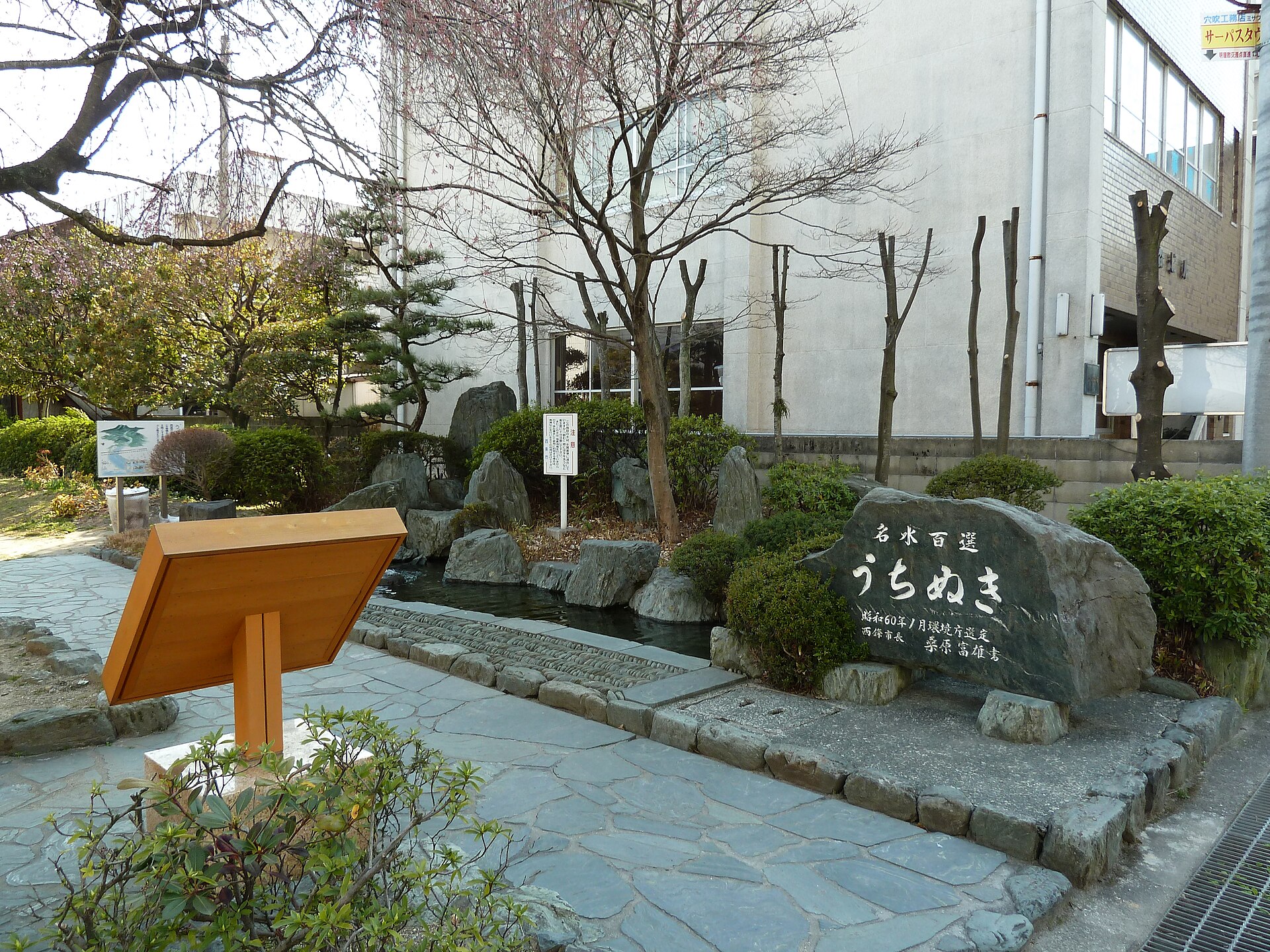
Saijo Uchinuki
17.9 km · straight line
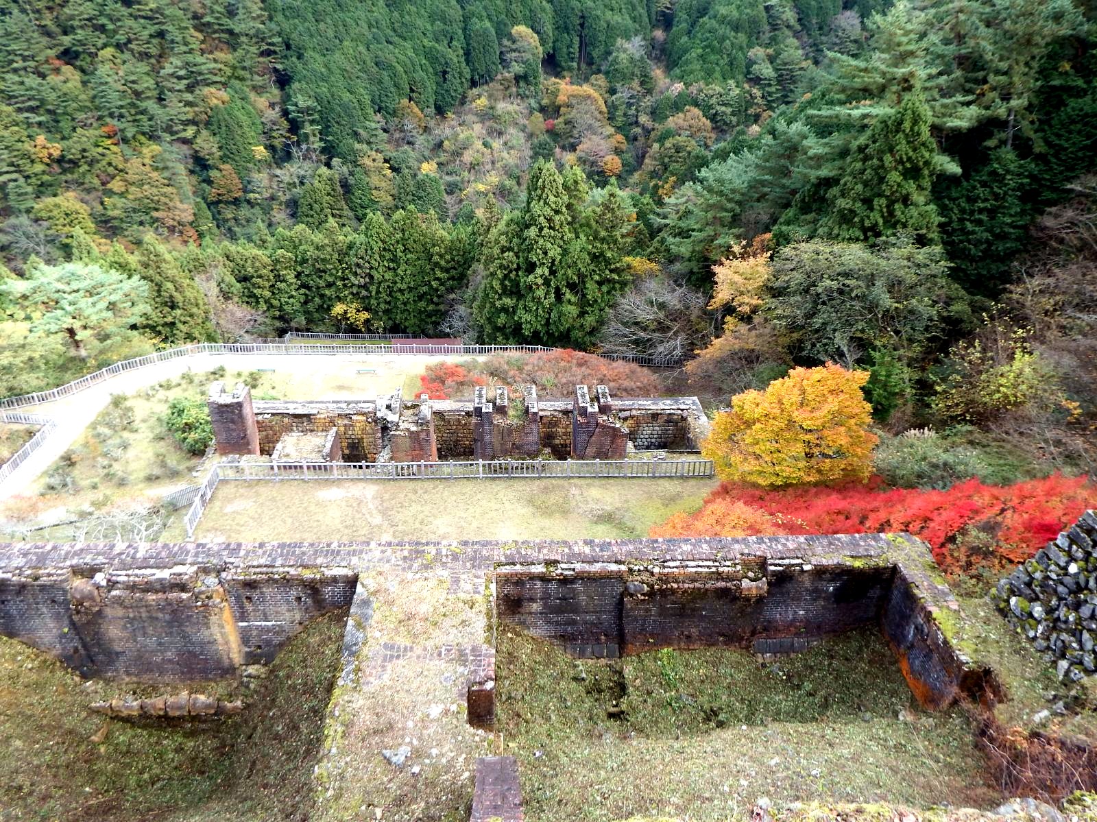 Araiyasushige / CC0
History · Ehime★★
Besshi Copper Mine Tonaru Zone
22.0 km · straight line
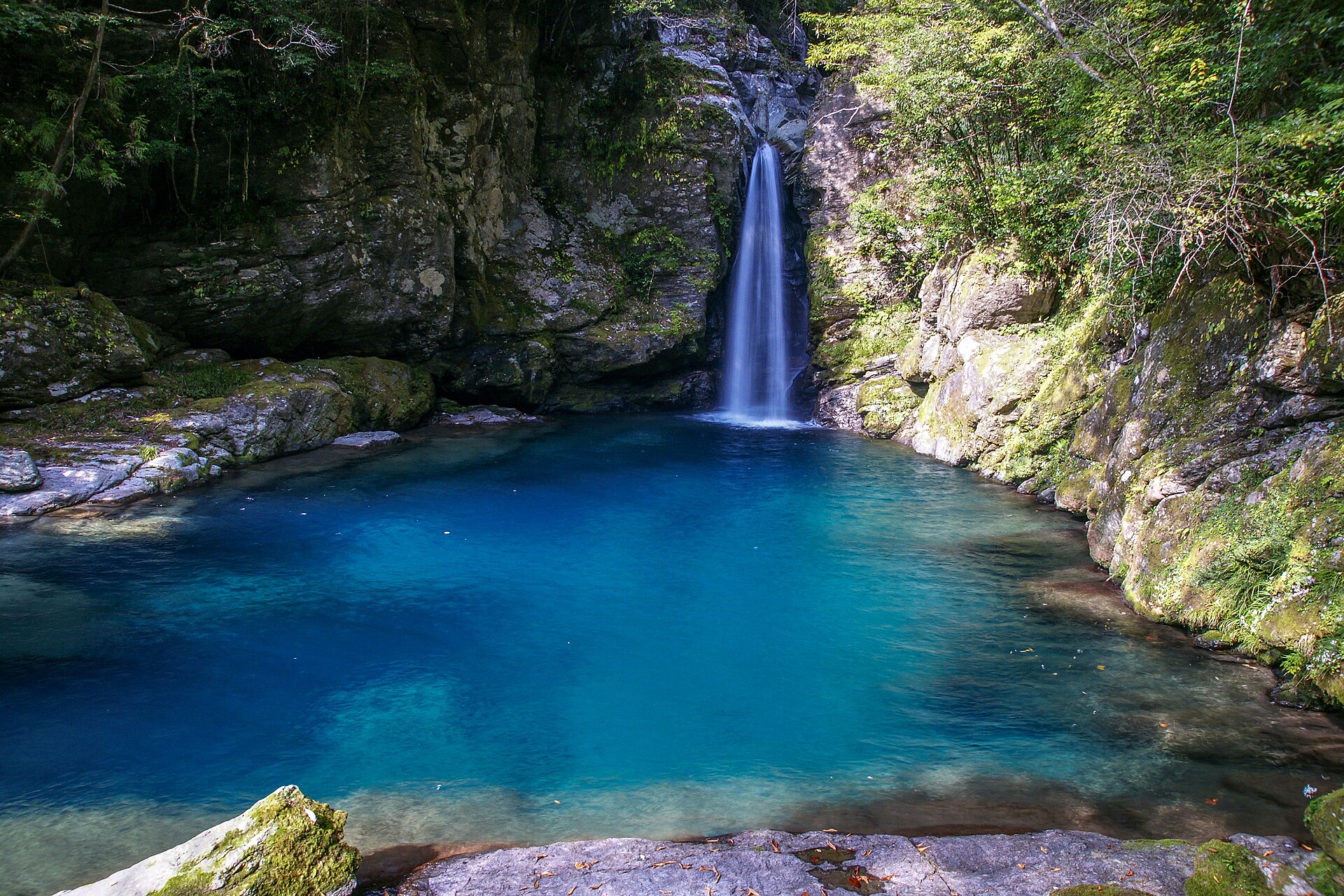 かるちる / CC0
Nature · Kochi★★★
Nikobuchi
22.1 km · straight line
Distances are straight lines on the map, not travel times.