Okinawa · Ishigaki IslandNo.811★★★Open in map →
Kabira Bay
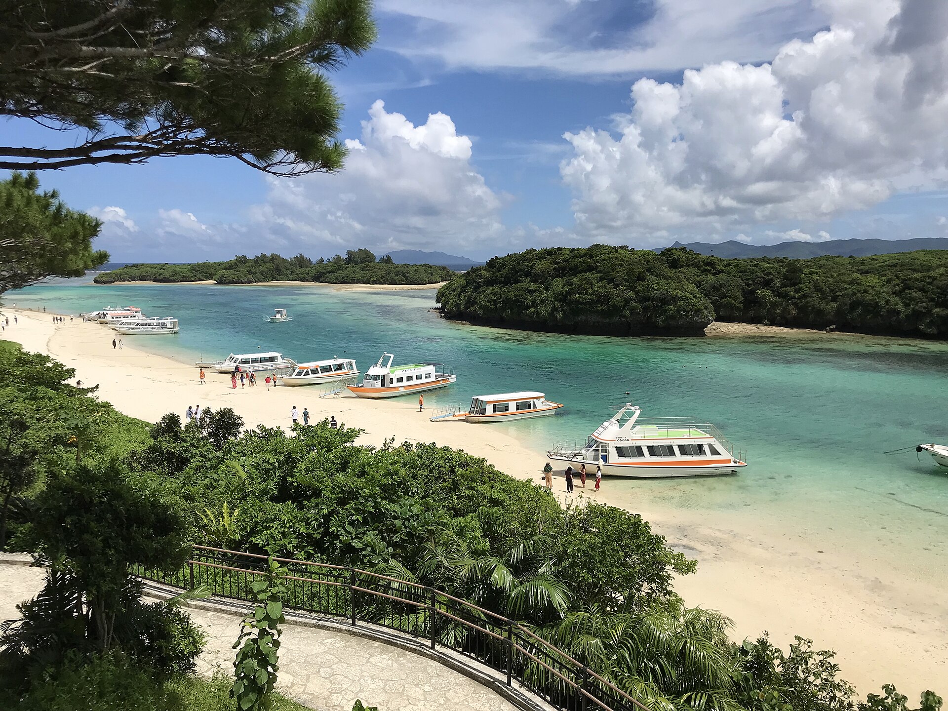
The most photographed bay in the Yaeyama Islands, and one you are not allowed to swim in. The current is too strong. Instead you look down on it from the park terrace, then cross the reef in a glass-bottomed boat.
- FromIshigaki Bus Terminal
- ~50 minAzuma bus route 9, ~50 min
- Get off atKabira-koen-mae (Azuma Bus route 9, Kabira Resort line)
- On foot
- Kabira Bay
Where it is
9 more notes in Okinawa · open the map →What to look for — in walking order
- The park terracethe railed viewpoint on the slope, looking north over the bay and its islets
- The path down through the pinesa paved walk from the terrace to the shore, shaded most of the way
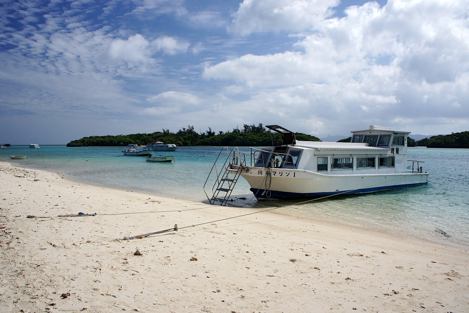
- The boat landing on the sandglass-bottomed boats drawn up on the beach, each with its own operator's colours
- The islets across the waterwooded rocks strung across the mouth of the bay, the reason for the colour bands
How to actually get there
- Ishigaki Bus Terminal → Kabira-koen-mae (Azuma Bus route 9, Kabira Resort line, about 50 minutes).
- Walk down from the road to the park terrace and take the view of the bay first.
- Follow the paved path through the pines to the sand and buy a boat ticket at the operator's counter there.
- Ride out over the reef, then come back up to the same stop for the return bus.
- Azuma Bus route 9 from Ishigaki Bus Terminal
- Ishigaki Bus Terminal →(route 9, Kabira Resort line, about 50 minutes)→ Kabira-koen-mae. Six services run this way over the day, spread from early morning to evening, so check the posted departure before you plan the return.
- Return to the bus terminal
- Route 9 runs back from Kabira-koen-mae on a similar timing, with the last departure in the evening. Routes 7, 8, 2 and 3 also call at Kabira on their way round the island, which widens your options in the afternoon.
About the place
The bay cuts into the north-west coast of Ishigaki, and nine small islands sit across its mouth. That shape is why the colour changes as you watch it: the shallows over sand read pale green, the channels between the islets go deep blue, and the tide moves the line between them through the day. The public terrace of Kabira Park stands on the wooded slope above the water, with a paved path dropping through pines to the sand. Boats are drawn up on that sand. Nothing about the place is hidden, and it is not meant to be walked around either — it is meant to be looked at, then crossed.
How to enjoy it
Give the bay two looks rather than one. The boats run through the day and a crossing is short, so a visit built around the outward bus and the next one back is comfortable rather than rushed. Check the return before you go down to the sand — the last bus from Kabira-koen-mae leaves at about 19:20, and after that the village has no service.
Background & history
Kabira has been a working bay as much as a scenic one. Black pearls have been cultivated in its water since the Taisho era, farmed on rafts inside the sheltered arm of the bay, and the pearl beds are one reason the water has stayed clear of development. The current that rules out swimming also feeds the reef, and the glass-bottomed boat grew up as the local answer to it. Several operators now keep offices in the village behind the park, each running its own boats from the same stretch of sand.
Before you go
- Cash
- The park and the terrace are free. Boat fares differ by operator and are paid at each operator's own counter on the sand, so ask there rather than assuming a price. On Azuma buses, payment is cash or a contactless credit card only — IC travel cards are not accepted, and the farebox gives no change, so use the coin changer on board.
- Good to know
- Swimming is prohibited in the bay because of the current, and this is enforced rather than advisory. Boat crossings are called off in strong wind and swell, most often through the typhoon season from early summer to late autumn.
- Another way
- Route 11, the Yonehara Campground line, runs to Kabira direct from Ishigaki Airport, leaving the airport at 12:15 and 15:00. By car the airport is about 30 minutes away on ordinary roads, and there is free parking at the bay as well as paid lots.
- After you get off
- Kabira-koen-mae sits on the prefectural road at the top of the village. Walk down towards the water for a couple of minutes and the terrace opens on your left, with the path to the sand continuing past it.
Nearby notes
 Opqr / CC BY-SA 3.0
Food · Okinawa★★
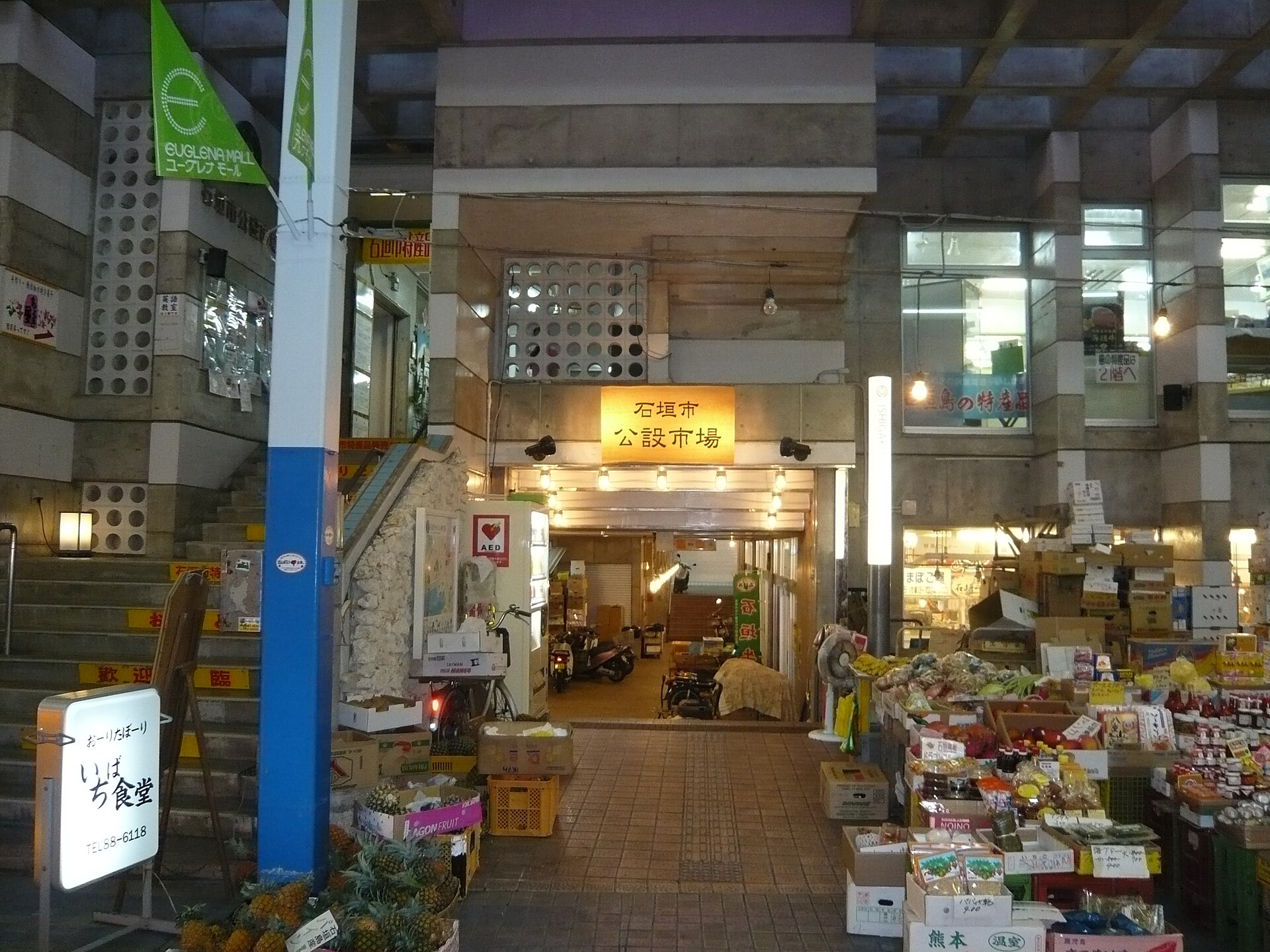
Ishigaki Beef
13.5 km · straight line
 iloverjoa / CC BY 3.0
Local life · Okinawa★★★
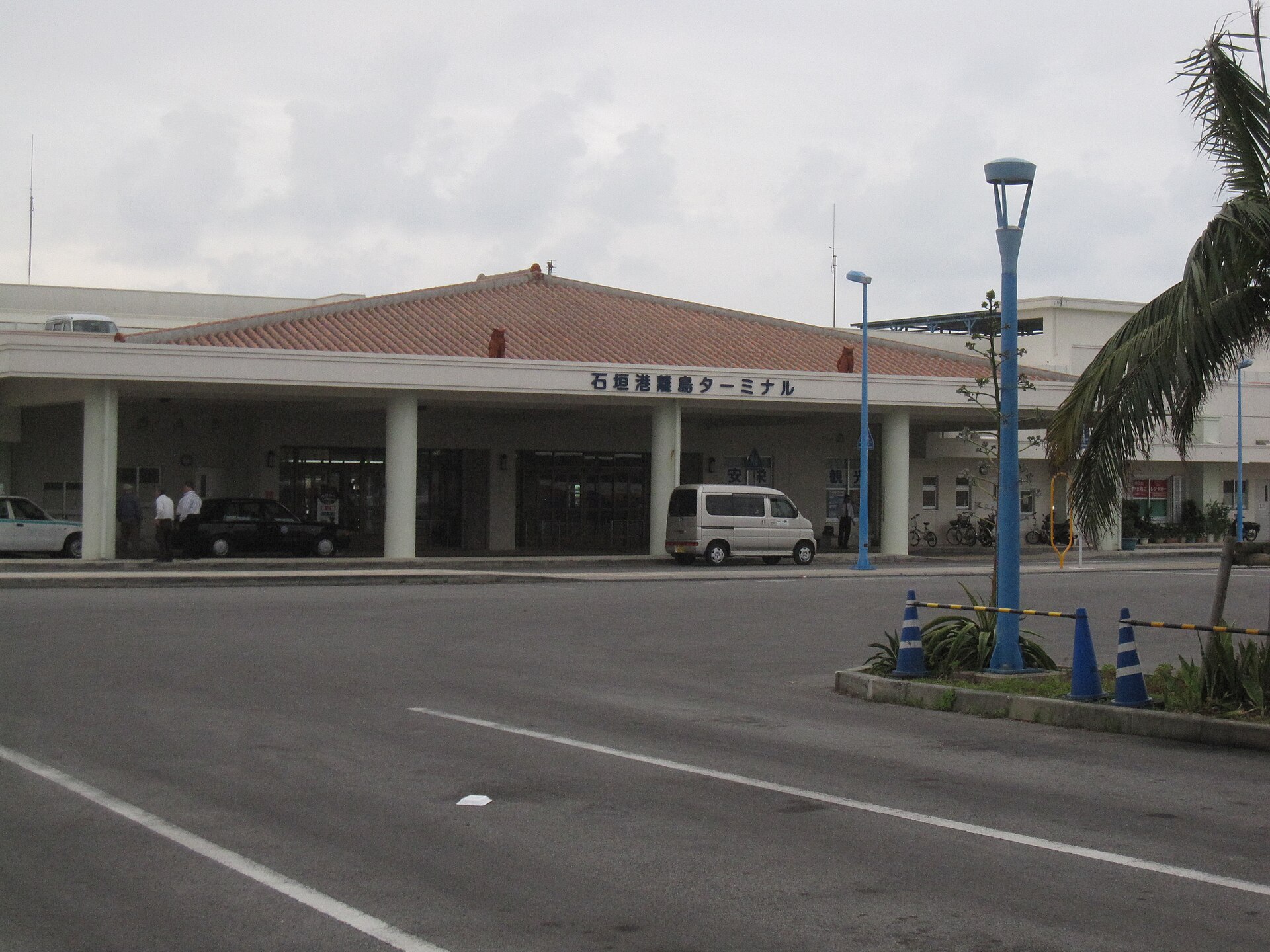
Ishigaki Island
13.8 km · straight line
 ippei & janine naoi / CC BY 2.0
Local life · Okinawa★★★
Taketomi Island
14.7 km · straight line
 Paipateroma / CC BY-SA 4.0
Local life · Okinawa★★
Kohama Island
20.0 km · straight line
Distances are straight lines on the map, not travel times.