Iwate · TanohataNo.814★★Open in map →
Kitayamazaki
— Cliff-top viewpoints on the Sanriku coast of Iwate
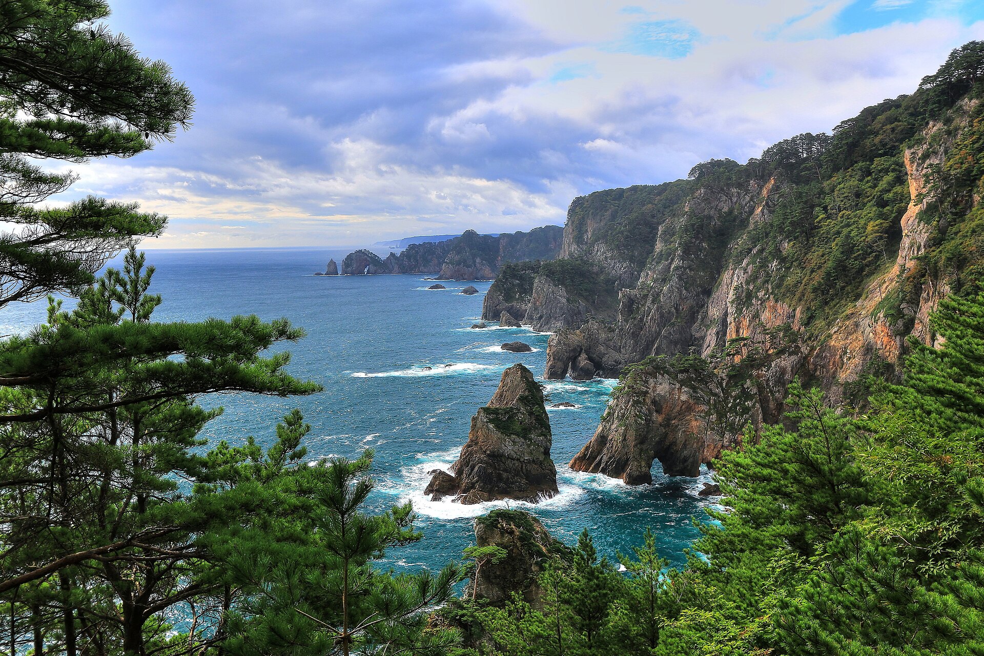
A cliff-top viewing point in Tanohata, where the raised coastal terrace of northern Sanriku breaks off straight into the Pacific. The platforms are staged at different heights, and a long flight of steps runs from the highest one down to the water's edge.
- FromMiyako Station
- ~1 hr 30 minSanriku Railway + booked taxi
- Get off atTanohata Station (Sanriku Railway Rias Line)
- From there
- Kitayamazaki
The sweet spot
This is a headline sight within Iwate, not an unknown one, but it takes half a day of rail and road from Tokyo and nearly every overseas itinerary turns west at Sendai instead. The site also splits its visitors: the platforms sit at different heights and the stair is long, so the people who are here are rarely in the same place at once.
Where it is
17 more notes in Iwate · open the map →What to look for — in walking order
- First platformlevel with the car park and step-free, with the cliff line laid out end to end
- Second platformreached down a flight of steps, closer in and far steeper on the eye
- Third platformset back among the pines, shaded and quiet, a short walk along the top
- The stairway to the watera long descent from the first platform to sea level, where you look up instead
How to actually get there
- Miyako Station → Tanohata Station (Sanriku Railway Rias Line, northbound; check the timetable first).
- Tanohata Station → Kitayamazaki (village shared taxi, reserved by phone in advance).
- Visitor centre → first platform → second and third platforms → the stairway down to sea level.
- Sanriku Railway Rias Line from Miyako
- Miyako Station →(Sanriku Railway Rias Line, northbound)→ Tanohata Station. The line is single-track and lightly served, so build the day around the timetable rather than turning up. From Tanohata Station the village runs a booked shared taxi timed to the trains, about twenty minutes out to Kitayamazaki.
- Back from Kitayamazaki
- The shared taxi is booked in both directions and timed to the Rias Line, so fix your return slot when you reserve the outbound leg. Southbound trains to Miyako thin out through the afternoon, and there is little else running from the cliff top, so a missed slot is a long wait.
About the place
North of Miyako the Sanriku coast is a raised terrace that ends abruptly at the sea, and Kitayamazaki is where that edge is at its most severe: the drop is about 200 metres. The wall of rock runs for roughly 8 kilometres, its base broken by stacks, arches and sea caves. Black pine grips the top edge, so every view frames itself with branches. The village has staged its platforms along this stretch — one level with the car park, the others reached by descending. In season, small boats work the base of the cliffs, close enough to run in under the overhangs.
How to enjoy it
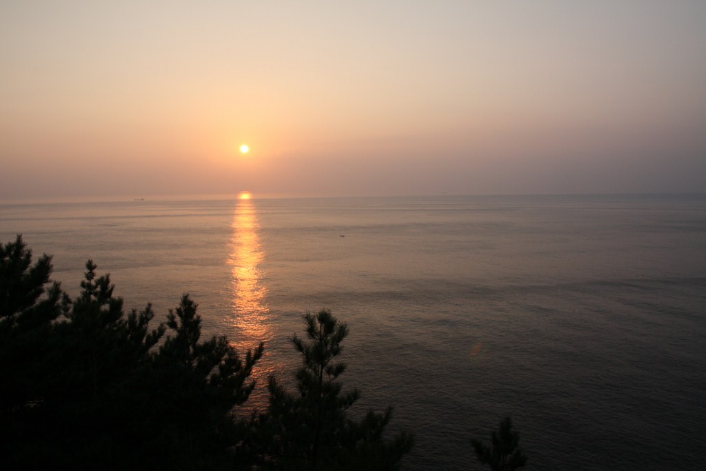
The cliffs face east into open Pacific, so the light is best early: the sun comes up out of the water in front of the platforms and lands on the rock face rather than behind it. The first platform is level with the car park, so even a short stop gets the full sweep; the stairway is the part that needs time and legs. Boat trips along the base of the cliffs run in the warmer months and are arranged through the village.
Background & history
Kitayamazaki lies inside Sanriku Fukko National Park, and the Ministry of the Environment lists it among the park's principal sights. Iwate's tourism association notes that, in the national assessment of tourism resources, it is the only coastal landscape in the country placed in the top grade. The Michinoku Coastal Trail, the long-distance path that follows the whole Sanriku shore, runs through this section, and the village offers guiding on it.
Before you go
- Cash
- The platforms, the path along the top and the stairway are open ground with no admission. What costs money is the shared taxi and the boat trips, both arranged locally. Carry cash for them.
- Good to know
- The stair is steep, closed in by trees and unlit, and it is the same climb back up. In winter the top of the cliff takes wind straight off the sea and the steps can be icy, so treat the lower platforms and the stairway as fair-weather options. Sea fog can settle on this coast and shut the view completely, so keep the day flexible.
- Another way
- From the north, the Rias Line runs down from Kuji to Tanohata. By car, Kitayamazaki is signposted from the coast road through Tanohata village and has a large car park beside the first platform.
- After you get off
- The cliffs are too far from Tanohata Station to walk. Book the village shared taxi by phone before you travel; it leaves the station on the train arrival and sets you down at the Kitayamazaki visitor centre, with the first platform a level few minutes further on.
Nearby notes
Distances are straight lines on the map, not travel times.