Tokushima · Iya ValleyNo.638★★Open in map →
Ochiai Mountain Village
— Iya's preserved village stacked up a mountainside
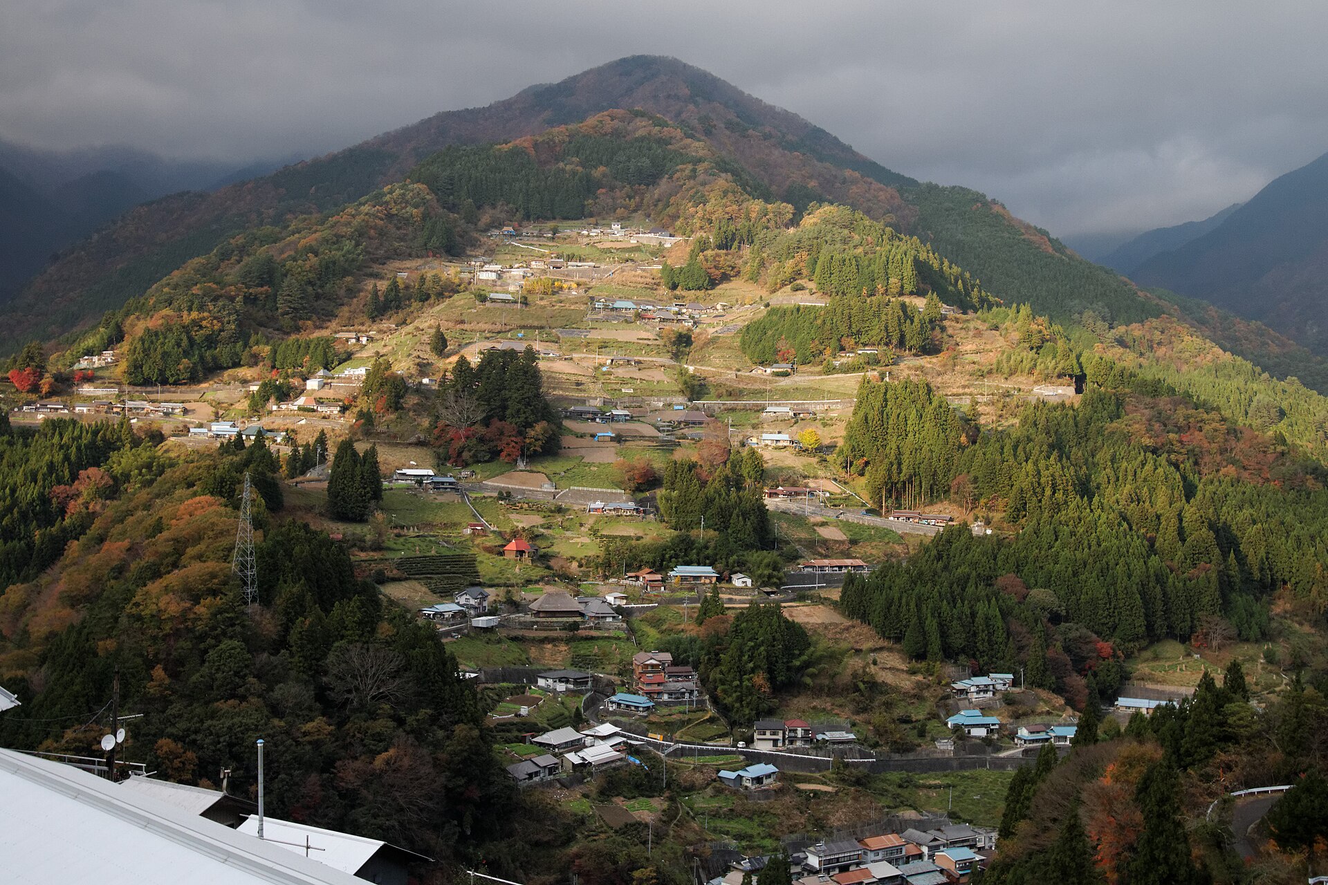
A mountain village in the Iya valley where houses, stone walls and terraced fields climb one slope in tiers. It is a national preservation district and still a working farming settlement, with a viewpoint across the valley for the whole picture at once.
- FromOboke Station
- ~1 hr 40 minLocal bus, 4 runs a day
- Get off atOchiai-bashi bus stop (Shikoku Kotsu, Higashi-Iya line)
- On foot
- Ochiai Mountain Village
The sweet spot
This is a signposted, listed village, not a secret one, and sightseeing coaches include the valley view on their Iya circuits. What keeps the slope itself quiet is the bus column: only a handful of services reach Ochiai each day, so most visitors take the picture from the opposite side and drive on without ever walking into it.
Where it is
13 more notes in Tokushima · open the map →What to look for — in walking order
- Ochiai-bashi and the confluencethe bridge over the Iya river where the Ochiai stream joins it, the lowest point of the village
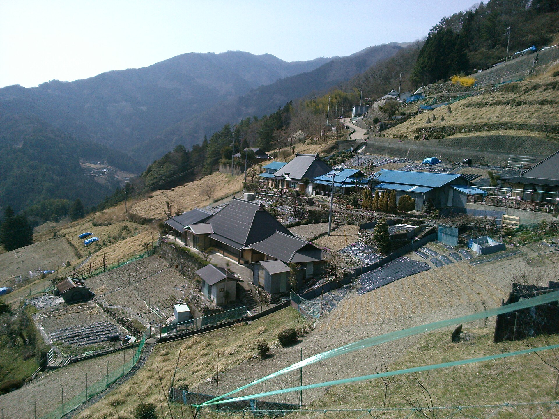
- The stone-walled lanesnarrow paved climbs between retaining walls, linking one house terrace to the next
- The tiered houses and terraced fieldsthe worked slope itself, roofs and plots alternating all the way up
- Sanjo-jinjathe village shrine part-way up, a level place to stop and look back down the valley
- Ochiai Village Observation Pointthe deck on the opposite side of the valley, reached by road, where the whole slope is visible at once
How to actually get there
- Oboke Station → Kazurabashi Yumebutai (Shikoku Kotsu Iya line, about 45 min).
- Kazurabashi Yumebutai → Ochiai-bashi (Higashi-Iya line, about 42 min).
- Ochiai-bashi → up through the village on the stone-walled lanes, past Sanjo-jinja to the upper terraces.
- Back down the same lanes to Ochiai-bashi for the return bus, or on by car to the observation point across the valley.
- Bus from Oboke Station, with one change
- Oboke Station (JR Dosan Line) →(Shikoku Kotsu Iya line, about 45 min)→ Kazurabashi Yumebutai, change →(Higashi-Iya line, about 42 min)→ Ochiai-bashi. The two services are timed to connect at Kazurabashi Yumebutai, and the Higashi-Iya leg runs four times each way. Oboke is a limited-express stop, so the day can start from Okayama or Kochi.
- Return via Kazurabashi Yumebutai
- Take the Higashi-Iya bus back down to Kazurabashi Yumebutai and change there for Oboke Station. Departures thin out through the afternoon and the final connection leaves Ochiai in the late afternoon, so read the return column on the stop's board before you start climbing.
About the place
Ochiai stands on the slope above the point where the Ochiai stream runs into the Iya river. Houses, stone retaining walls and small fields are stacked one above another, so the settlement reads as a single worked surface rather than a row of buildings. The preservation district covers about 32.3 hectares, and the ground rises roughly 390 metres from its lowest point to its highest. That gradient explains the place: every lane is a climb, and one household's roof sits level with the next household's vegetable plot. Farming still shapes it — cut grass is stacked in cones to dry on the terraces, and thatch is gathered here for roof repair.
How to enjoy it
The walk from the bridge up through the village and back takes an hour or more at a steady pace, so plan around the gap between one bus and the next rather than trying to rush it. Check the last return departure before you start up — it is the thing that decides how long you have. The observation point on the far side of the valley needs a car or a taxi, so treat the view and the village as two separate stops.
Background & history
Iya is one of the deepest valleys in Shikoku, and its settlements were built high on the slopes rather than beside the river, on ground that drained and caught the sun. Ochiai grew that way over generations of farming families, each new house and plot carried on its own stone wall. In 2005 the national government listed the whole slope as an Important Preservation District for Groups of Traditional Buildings, entered under the mountain-village category rather than as a merchant town or post station. Several of the emptied farmhouses have since been repaired and reopened as lodgings.
Before you go
- Cash
- Walking the village costs nothing; the lanes are public roads. What needs planning is the bus, and — if you want to stay — a booking, because the repaired farmhouses let as lodgings are reserved in advance rather than visited on the day.
- Good to know
- This is a lived-in farming village: keep to the lanes and out of yards and fields, and photograph from the roadway rather than the doorstep. Surfaces are stone and concrete on a steep pitch, poor footing in rain, and snow is possible in winter. Carry water, because the climb is continuous.
- Another way
- By car from Ikawa-Ikeda IC the route runs National Route 32, then Prefectural Routes 45 and 32, then National Route 439 toward Mt Tsurugi — about an hour and twenty minutes as the city gives it. A car is also the practical way to reach the observation point on the opposite side of the valley.
- After you get off
- From the Ochiai-bashi stop the village begins directly above the road. Lanes leave National Route 439 and climb between stone retaining walls; there is no level route through, and the upper houses are a sustained uphill walk from the river.
Nearby notes
 Motokoka / CC BY-SA 4.0
Culture · Tokushima★★★
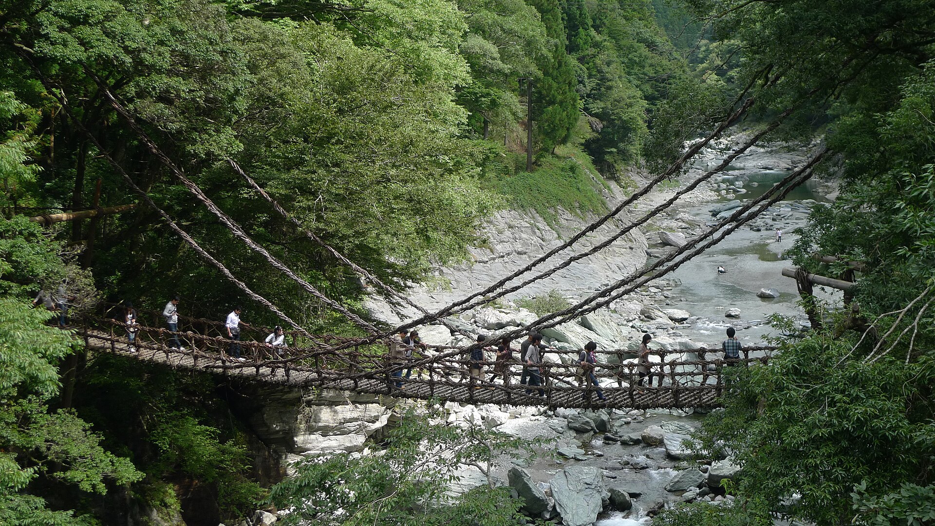
Iya Kazurabashi
9.1 km · straight line
 Motokoka / CC BY-SA 4.0
Nature · Tokushima★★★
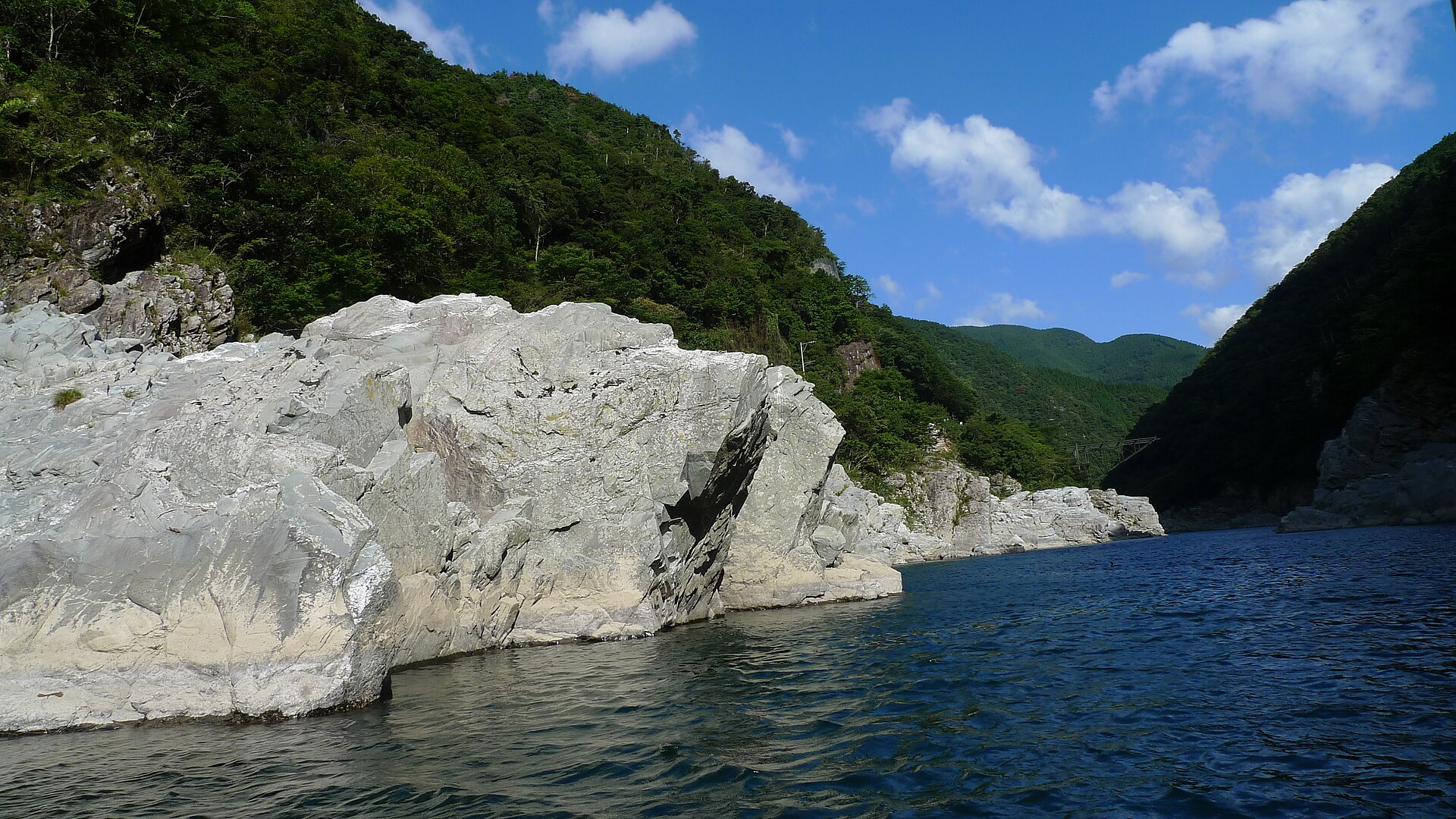
Oboke and Koboke Gorges
16.0 km · straight line
 Asturio Cantabrio / CC BY-SA 4.0
History · Tokushima★
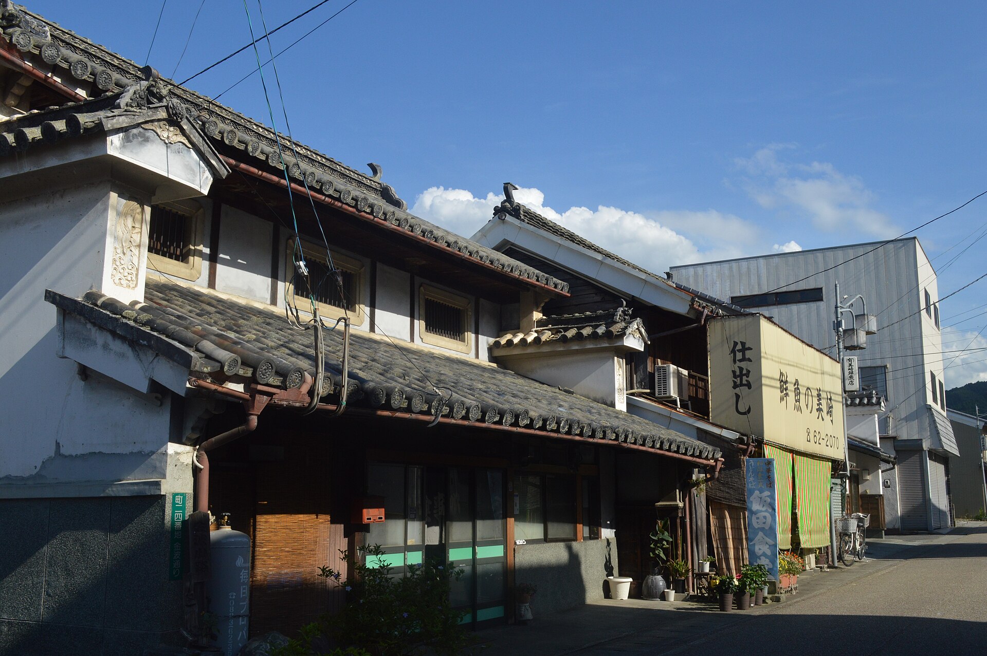
Sadamitsu Two-Tiered Udatsu Street
20.5 km · straight line
 Araiyasushige / CC0
History · Tokushima★★
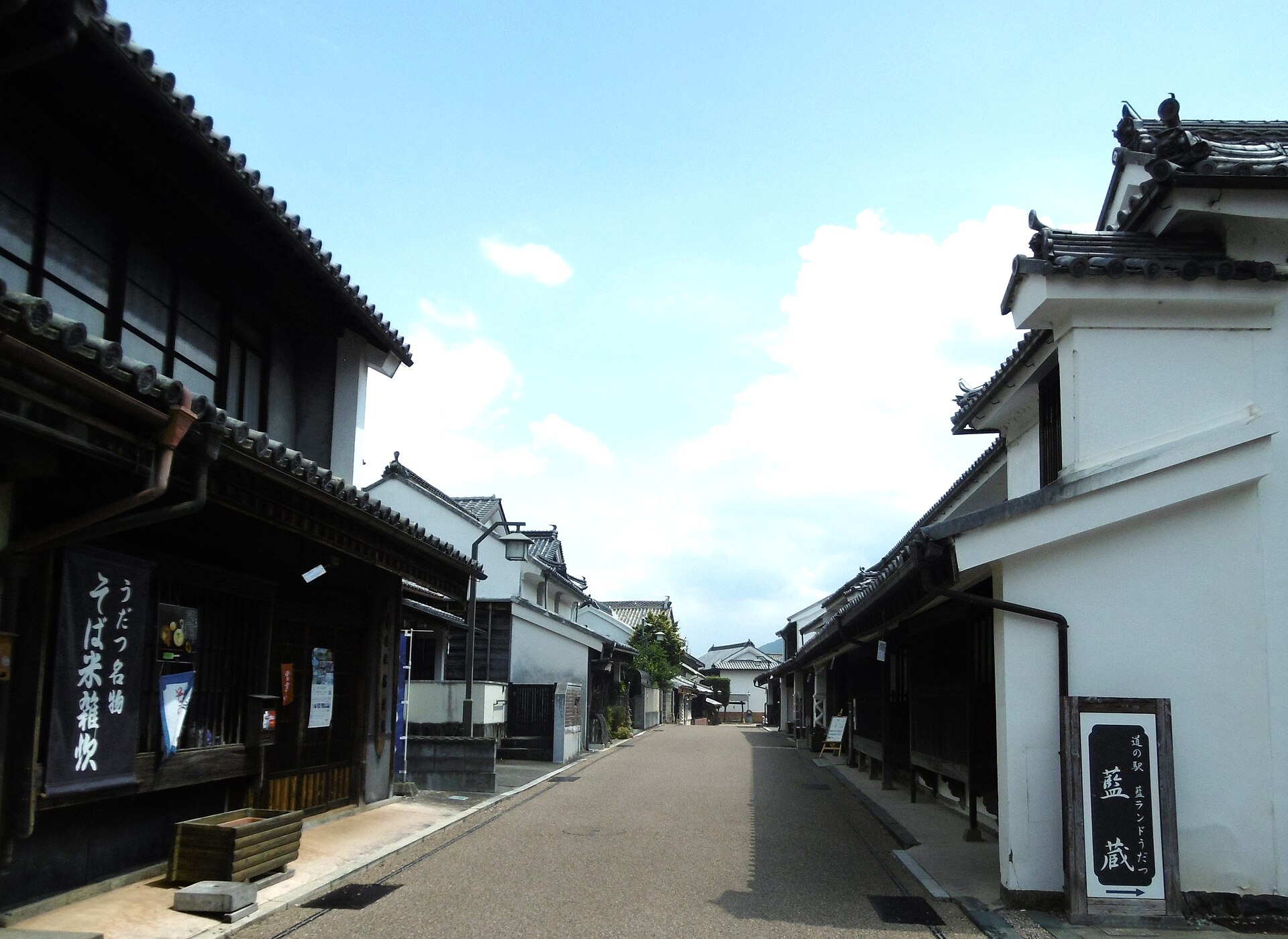
Wakimachi Udatsu Townscape
28.4 km · straight line
Distances are straight lines on the map, not travel times.