Izu · ItoNo.773★★★Open in map →
Mount Omuro
— Izu's grass cinder cone, climbed by chairlift
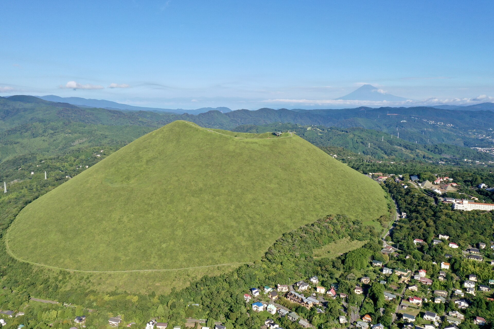
A cinder cone on the east side of Izu, kept treeless by an annual burning and listed whole as a natural monument. A chairlift lands you on the rim, where a loop path runs right round the old crater.
- FromIzu-Kogen Station
- ~20 minTokai Bus, ~20 min
- Get off atShaboten Koen (Tokai Bus, terminus)
- From there
- Mount Omuro
Where it is
16 more notes in Shizuoka · open the map →What to look for — in walking order
- Chairlift base stationthe north foot, where the grass slope starts and the lift boards
- Summit terminalthe arrival deck on the rim, with Sagami Bay and the Izu islands laid out ahead
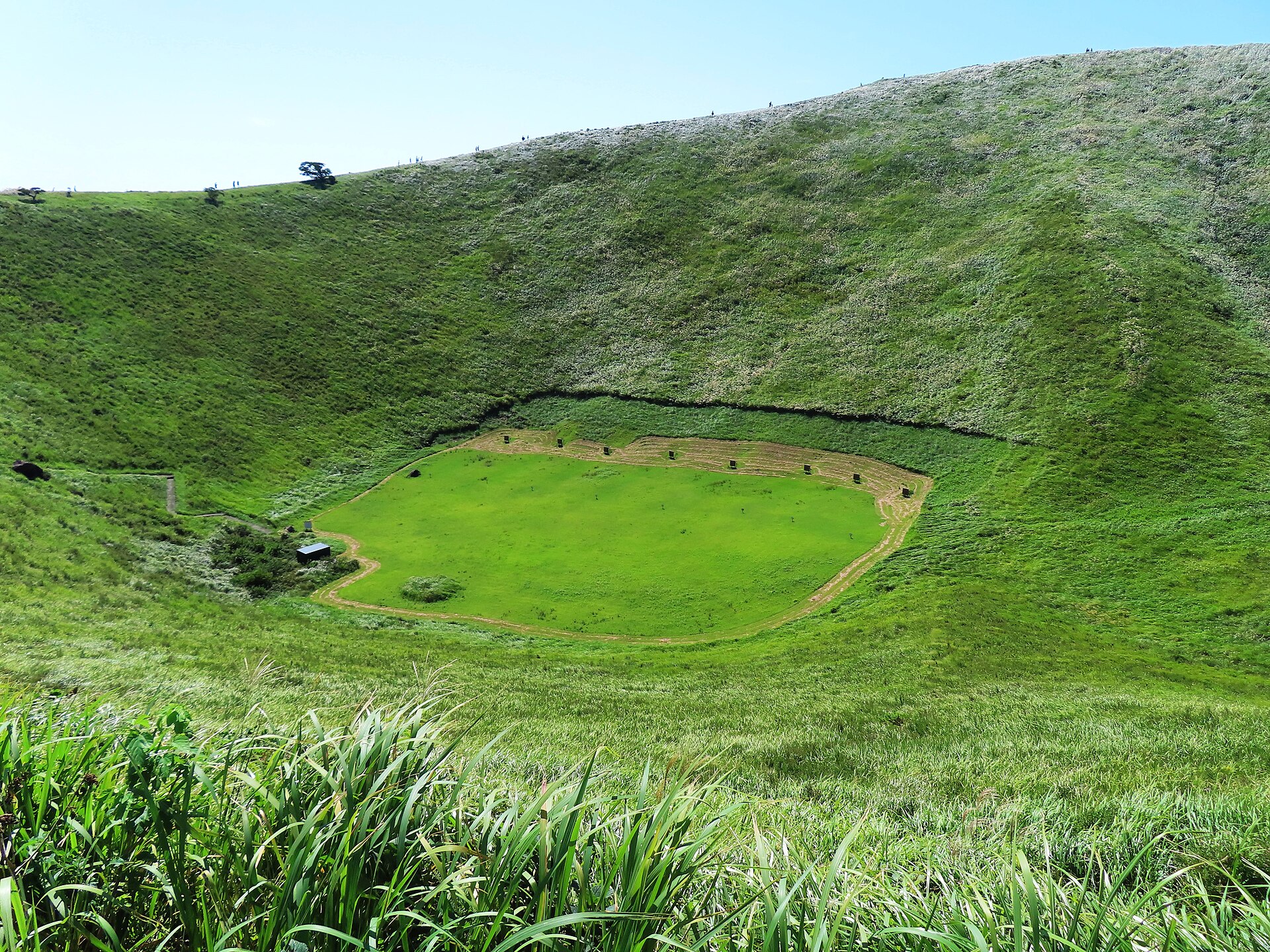
- Crater rim patha 1,000-metre loop right round the hollow, walkable in either direction
- Omuroyama Sengen Shrinethe shrine down inside the crater, reached by steps off the rim
- Archery rangethe flat crater floor, laid out with targets inside the bowl
How to actually get there
- Tokyo or Atami → Izu-Kogen Station (JR and Izukyu Line).
- Station stand 1 → Shaboten Koen, the terminus (Tokai Bus).
- Cross the car park to the base station and ride the chairlift to the rim.
- Walk the crater loop, drop to the shrine on the crater floor, then take the lift down.
- Tokai Bus from Izu-Kogen
- Izu-Kogen Station on the Izukyu Line, stand 1, is where the Shaboten Koen service leaves. It climbs off the coast to the terminus in about twenty minutes. Buses from Ito Station reach the same terminus if you are coming down from the north.
- Back down to the coast
- The same service returns from the terminus to Izu-Kogen Station. The tighter constraint is the lift rather than the bus, since the last car down leaves before the day ends, so begin the rim loop with enough afternoon left to finish it and still ride down.
About the place
Omuro is 580 metres high and shaped like an upturned bowl, which is what a cinder cone looks like when nothing tall grows on it. It is among the largest in the Izu-Tobu volcano field, and the whole mountain — not a summit rock, not the crater alone — is listed by the state as a natural monument. That smooth green surface is not untouched nature. The grass is kept by burning the slopes off once a year, a practice begun so that good thatch would grow and pests would not survive. From the coast road it reads as one soft dome. Only from the rim do you find out that the top is hollow.
How to enjoy it
The lift takes about six minutes and the rim loop twenty to thirty, so an hour and a half on the mountain is generous rather than tight. The lift runs from nine in the morning, and the last car down leaves at quarter past five in the warm half of the year, quarter past four in winter. The winter figure is the one to plan around, because the mountain shuts while the light is still good. Go up first, walk the rim, and keep the shrine and the crater floor for the second half.
Background & history
The cone was thrown up by a single eruption about four thousand years ago and has not erupted since. The grass on it is maintained rather than natural: the lift company puts the burning at around seven hundred years old, begun so that good thatch grass would grow and pests would be cleared, and carried on now as a spectacle as much as a farm job. The date is the second Sunday in February. Locally the fire is treated as the announcement of spring.
Before you go
- Cash
- The lift is the only ticket. A return is 1,000 yen for adults and 500 yen for children, with a lower rate for groups of twenty or more. Nothing on the rim itself is charged.
- Good to know
- The cone is bare on every side, so wind and cloud arrive here before they reach the coast road below. The mountain is open only while the lift is running, and the winter timetable is shorter at the closing end than the summer one.
- Another way
- By car there are about five hundred spaces across three car parks, all of them close to the lift station, with separate space for coaches in the first two.
- After you get off
- The bus terminus faces the mountain — the lift company's own wording is that Omuro is directly in front of the stop. Cross the car park to the base station, which is where the lift begins.
Nearby notes
 Takuya ASADA / CC BY 2.0
Nature · Shizuoka★★
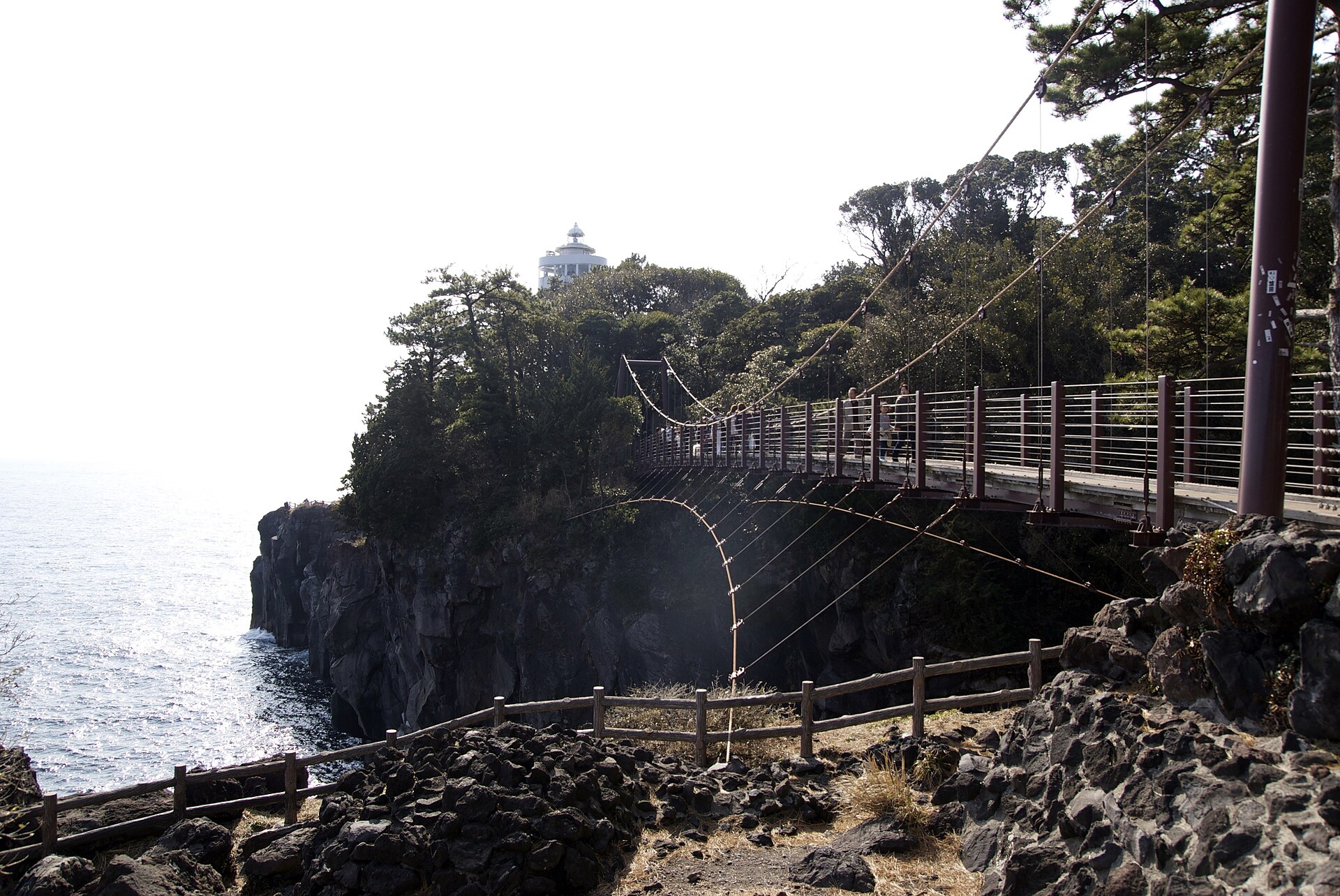
Jogasaki Coast
4.2 km · straight line
 Batholith / Public domain
Food · Shizuoka★★★
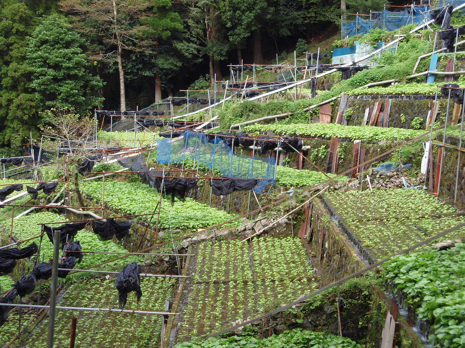
Shizuoka Wasabi
16.1 km · straight line
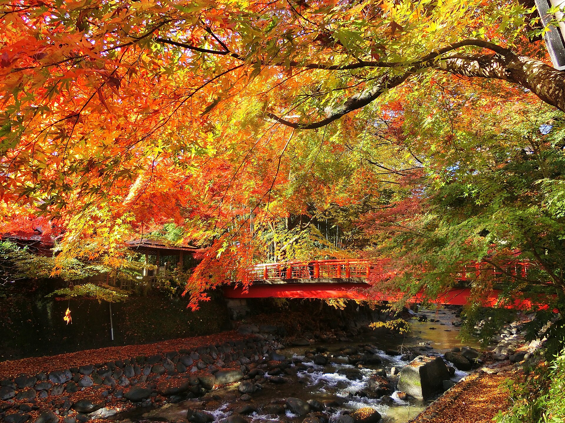 伊豆市 / CC BY 4.0
Onsen · Shizuoka★★★
Shuzenji Onsen
16.9 km · straight line
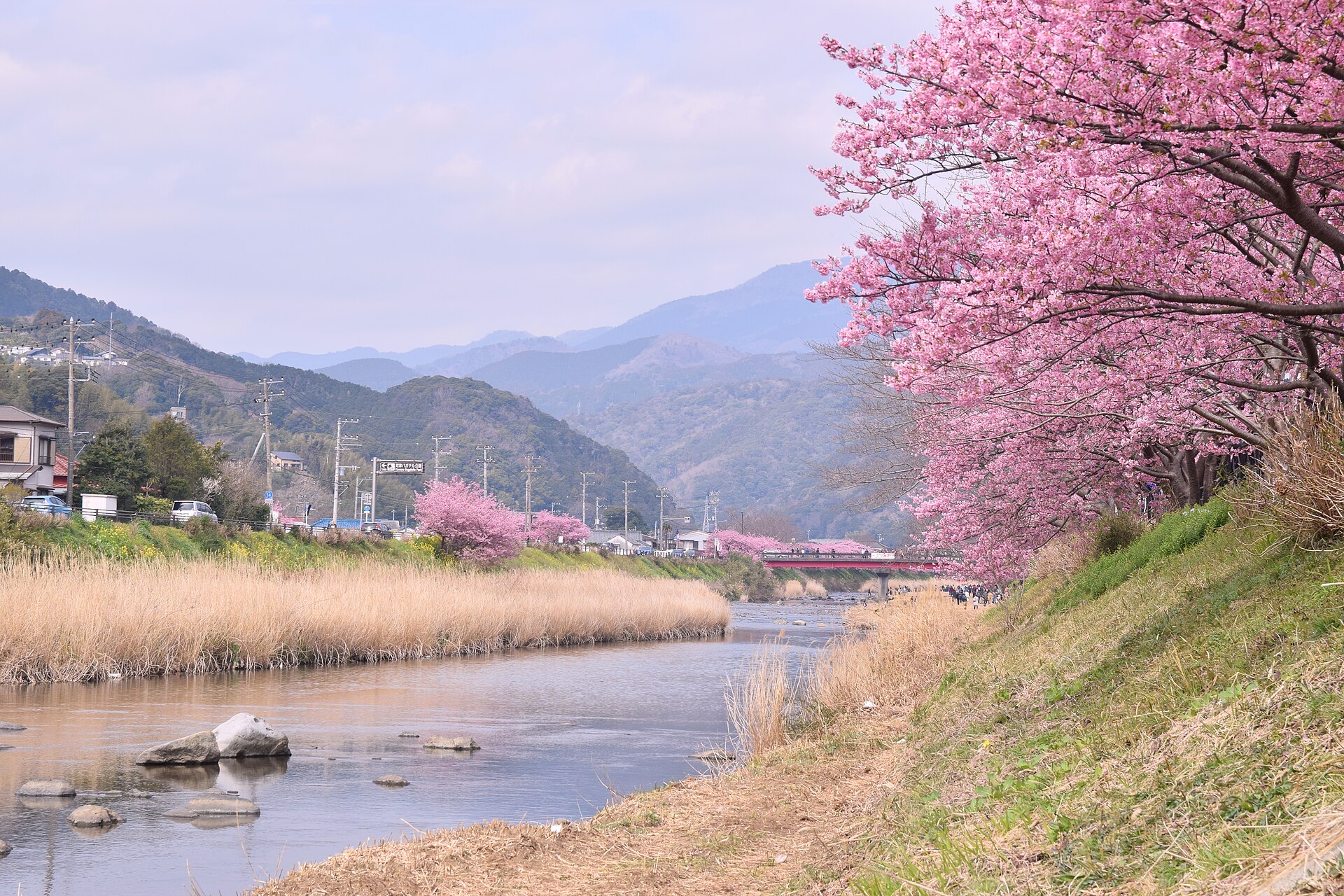 雷太 / CC BY 2.0
Nature · Shizuoka★★★
Kawazu-zakura
19.7 km · straight line
Distances are straight lines on the map, not travel times.