South Hokkaido · OnumaNo.718★★Open in map →
Onuma Quasi-National Park
— Lakes and wooded islets under a live volcano
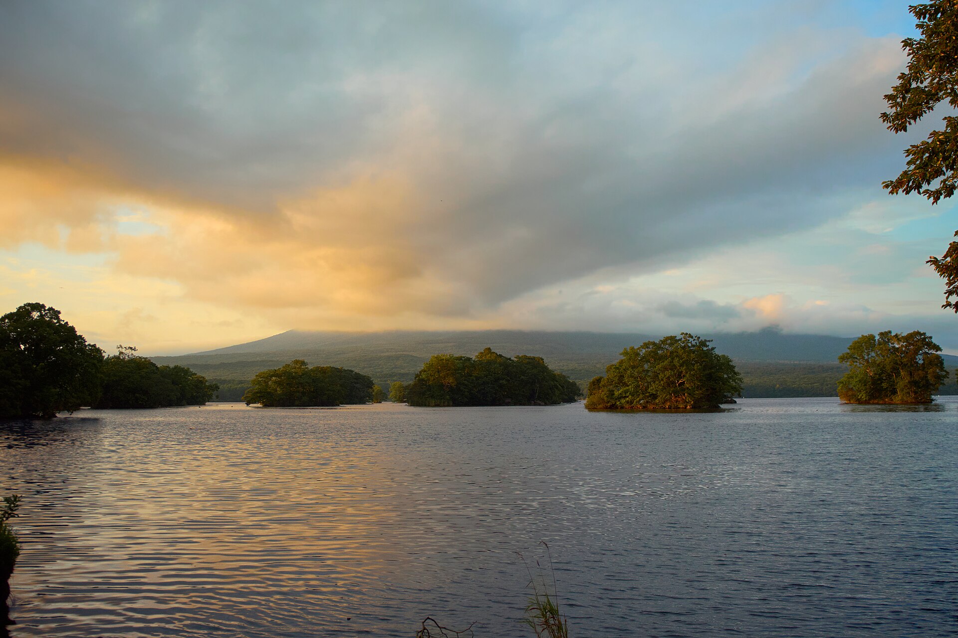
Three lakes made by an active volcano, half an hour north of Hakodate by limited express. From the plaza in front of the station, footbridges hop islet to islet across the water, and the walking costs nothing at any hour.
- FromHakodate Station
- ~30 minJR limited express Hokuto
- Get off atOnuma-Koen Station (JR Hakodate Main Line)
- On foot
- Onuma Quasi-National Park
The sweet spot
Onuma is not a hidden lake. It has been on the standard Hokkaido route since the Meiji era, limited expresses stop at its station, and the plaza by the water is busy in season. What changes is the spread: visitors gather at the plaza and the boat pier, while the islet paths thin them out over water and trees. A place with a full car park can still feel like quiet woodland three bridges in.
Where it is
102 more notes in Hokkaido · open the map →What to look for — in walking order
- Onuma Park Plazathe open ground between station and water, with the information house
- The New Three Views stonea marker for the national scenic vote, set on the lakeshore road
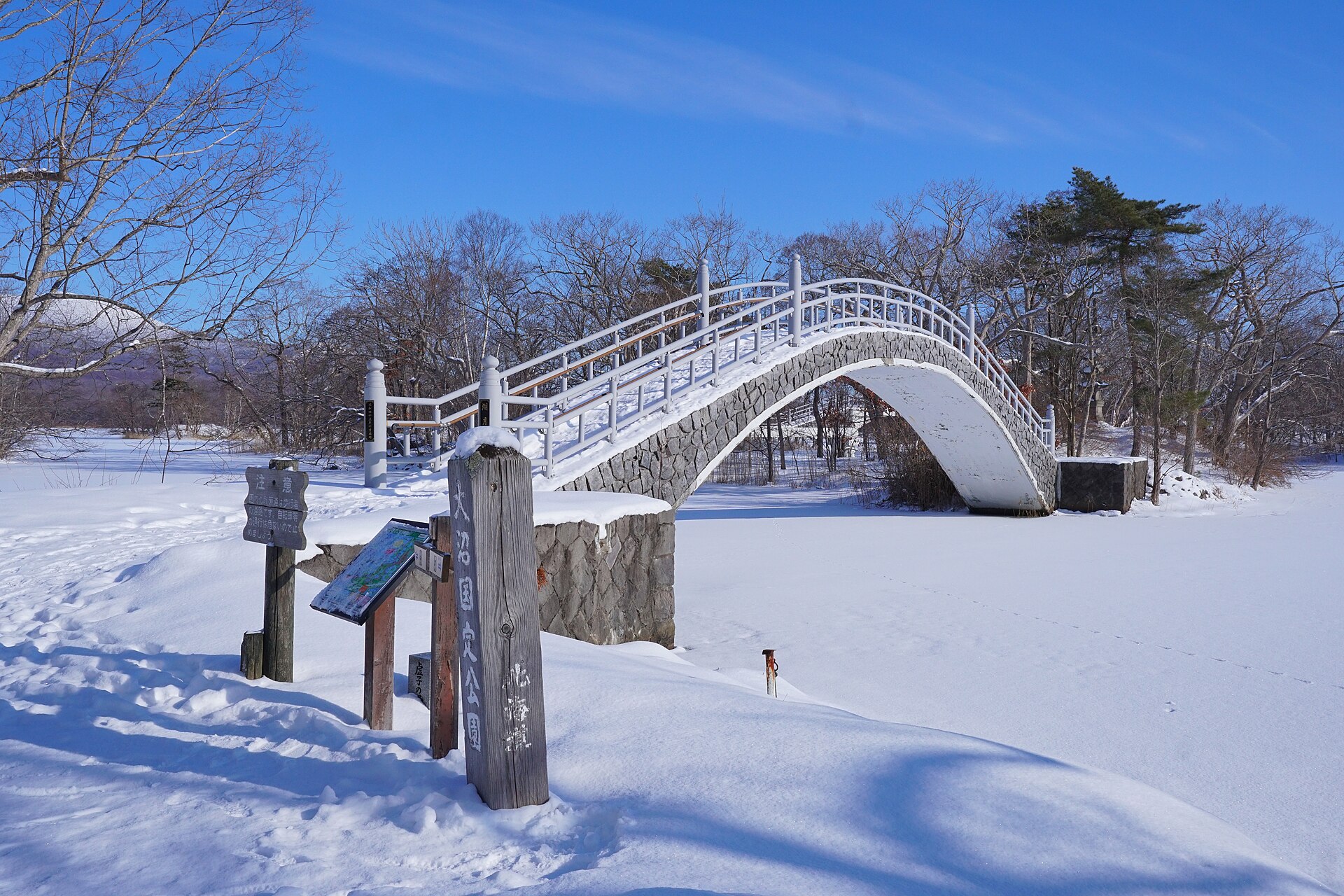
- Ukishima Bridgethe first crossing of the Shima-meguri path, out onto the islets
- Kinpa Bridgea short span between two wooded islets on the same loop
- Kogetsu Bridgea low arch with Komagatake standing behind it
How to actually get there
- Hakodate Station → Onuma-Koen Station (JR Hakodate Main Line, limited express Hokuto).
- Cross to Onuma Park Plaza and pick up a path map at the information house.
- Follow the Shima-meguri path over Ukishima, Kinpa and Kogetsu bridges.
- Return along the shore road past the New Three Views stone to the station.
- JR limited express Hokuto from Hakodate
- Onuma-Koen sits on the Hakodate Main Line, 28.0 kilometres out of Hakodate. Most Hokuto services stop there and the tourism association gives the run as about thirty minutes, against roughly fifty on a local train. From Shin-Hakodate-Hokuto, where the Shinkansen ends, the same express takes about ten minutes.
- Back to Hakodate or Shin-Hakodate-Hokuto
- The same line runs south from the single platform. Four Hokuto services in each direction pass through without stopping, early and late in the day, so read the departure board before you commit to a long loop and keep a local train in reserve.
About the place
Onuma, Konuma and Junsai-numa were pushed into being by Hokkaido Komagatake, whose eruptions dammed the streams running off it. The park drawn around them covers 9,083 hectares and spreads across three towns. Onuma itself holds 126 wooded islets, and the ones near the southern shore are strung together by low bridges, so a lake that ought to stop a walker turns into a circuit instead. Hokkaido's own park guide calls the effect a miniature garden, which is an odd thing to find in a region built on scale. The peak above it, Kengamine, reaches 1,131 metres and is still active.
How to enjoy it
The footpaths carry no gate and no closing hour, so an early Hokuto out of Hakodate gets you onto the islets and still leaves the plaza shops open on the way back. Hokkaido's own guide puts the autumn colour at its best in the middle of October. In deep winter the lakes freeze right across and the same bridges cross white ground instead of water, which is the version most visitors never see.
Background & history
Foreigners arriving through the port of Hakodate came out to these lakes in the late Edo years, and the Meiji Emperor stopped here during his 1881 progress through Hokkaido. The prefecture set the area aside as its own park in 1905. In 1914 the forestry scholar Honda Seiroku drew up a full development plan, and the year after that Onuma was voted one of the New Three Views of Japan. The prefectural park opened formally in 1921, and national designation followed on 1 July 1958. Onuma is now a registered Ramsar wetland.
Before you go
- Cash
- The plaza and every one of the footpaths cost nothing to use. Boat trips, cycle hire and the shops facing the plaza are paid on the day, and the smaller places here are easier with cash than with a card.
- Good to know
- Nothing closes the paths, but winter rewrites them: the lakes freeze over completely and snow sits on the bridge decks, so footwear matters more than a timetable. Boat operations and cycle hire are seasonal, so confirm those before you count on them.
- Another way
- From Hakodate Airport, Onuma Kotsu runs a shuttle straight to the park, about seventy minutes. Drivers leave the expressway at the Onuma-Koen interchange and join Route 5.
- After you get off
- The station faces the park across one road. The information house on the plaza is a minute on foot, and Hokkaido's travel guide puts the lakeshore about five minutes from the platform.
Nearby notes
 Goryokaku-Tower / CC BY 4.0
History · Hokkaido★★★
Goryokaku Fort
21.6 km · straight line
 Indiana jo / CC BY-SA 4.0
History · Hokkaido★★★
Kakinoshima and Ofune Jomon Sites
23.4 km · straight line
 663highland / CC BY 2.5
Food · Hokkaido★★★
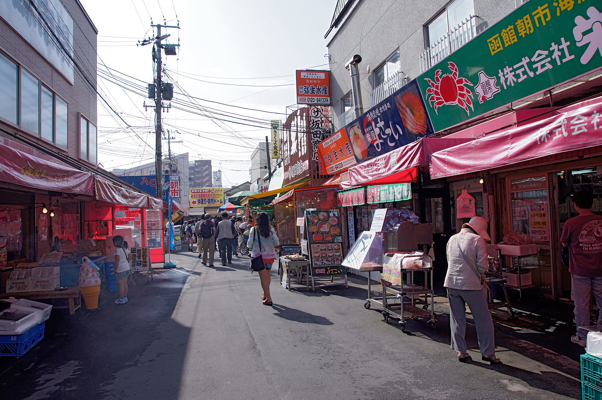
Hakodate Morning Market
23.6 km · straight line
 663highland / CC BY 2.5
History · Hokkaido★★
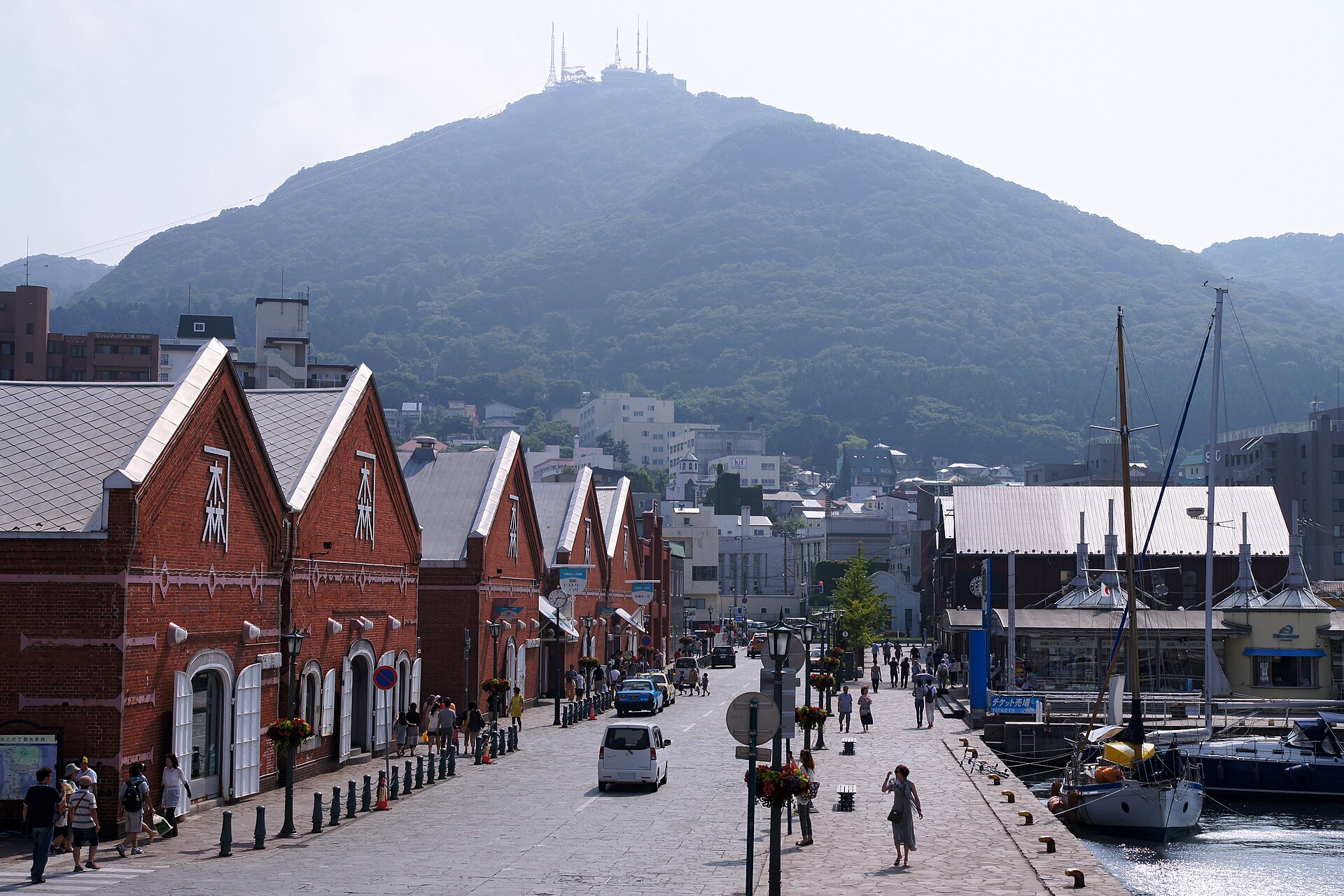
Kanemori Red Brick Warehouse
24.1 km · straight line
Distances are straight lines on the map, not travel times.