East Hokkaido · ShiretokoNo.1133★★Open in map →
Shiretoko Pass
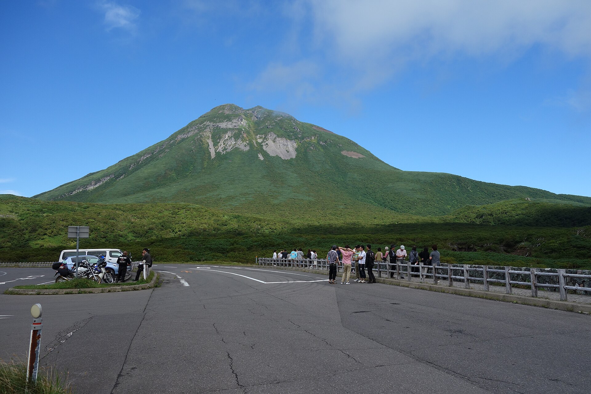
The highest point of National Route 334, the single road that crosses the Shiretoko Peninsula. Mount Rausu fills the view from the car park, and the Nemuro Strait opens on the Rausu side. The road is closed all winter.
- FromShiretoko-Shari Station
- ~90 minCar, or the green-season bus
- Get off atShiretoko Pass (Sharibus / Akan Bus)
- From there
- Shiretoko Pass
The sweet spot
This is one of the Eight Views of Shiretoko, so it is no secret. What limits it is the calendar and the cloud. The crossing is shut all winter, the bus over the top runs only while the road is open, and the official descriptions are careful to say Kunashiri appears on clear days only.
Where it is
102 more notes in Hokkaido · open the map →What to look for — in walking order
- The pass car parksixty-six car spaces and a coach bay, right on the town boundary
- Mount Rausuthe volcano standing square in front of the viewing rail
- The creeping-pine scrublow pine flooring slopes where forest would normally stand
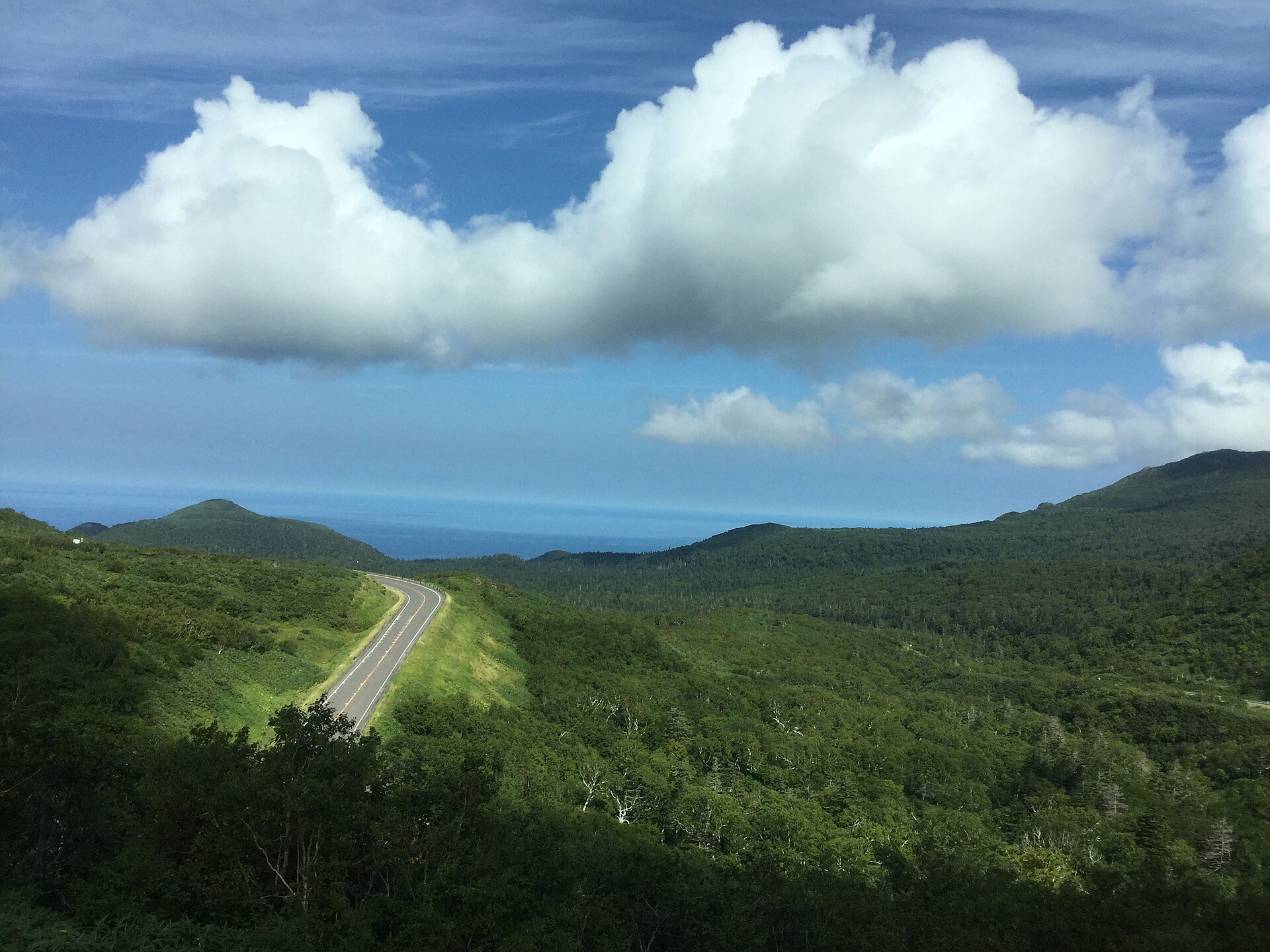
- The Nemuro Strait sidethe eastern drop toward Rausu, with Kunashiri beyond it on a clear day
- The crossing roadRoute 334 curving down off the summit toward the coast
How to actually get there
- Shiretoko-Shari Station → Utoro Onsen (Sharibus Shiretoko line, by way of Oshinkoshin Falls).
- Utoro Onsen → Shiretoko Pass (Sharibus or Akan Bus over the crossing, green season only).
- At the summit, walk from the car park to the viewing rail for Mount Rausu.
- Carry on down to Rausu, or turn back to Utoro on a later service.
- Sharibus Shiretoko line from Shiretoko-Shari Station
- Sharibus runs the Shiretoko line out of Shiretoko-Shari Station by way of Oshinkoshin Falls and Utoro Onsen, and the pass is a listed stop on that route. The section over the top is shared with Akan Bus, whose Rausu–Shiretoko Pass–Utoro line ties the two coasts together. By car it is Route 334 the whole way from either side.
- Turn back, or carry on down the far side
- There is no shop at the summit and little shelter from the wind, so the last departure matters. Read the return time off the pole before you leave the car park. Drivers should note the road carries no lighting and the descent is long whichever way you go, which makes a breakdown up here an expensive wait.
About the place
The pass sits at 738 metres on the boundary between Shari and Rausu, the highest point on the only road that crosses the Shiretoko Peninsula. What grows around it looks wrong for the altitude. Instead of tall conifers there is a low sea of creeping pine, the sort of cover you would expect much further up a mountain in Honshu. The cause is weather rather than height: winter wind and deep snow hold trees down, so a subalpine scrub takes the place of forest. Mount Rausu rises directly ahead of the viewing rail, and the ridge drops east toward the Nemuro Strait.
How to enjoy it
Weather decides this stop far more than the hour does, so treat a clear pass as luck and drive on rather than sit it out. Crossing by bus, the timetable fixes how long you get at the top and there is no way to extend it, so check the next departure before you walk to the rail. The wind-flattened pine around you is a fair warning about how exposed the summit is.
Background & history
Shari and Rausu sit on opposite coasts of the same peninsula, and for most of their history there was no direct way between them. Work on a crossing began from the Utoro side in 1963 and took eighteen years. The road opened in 1980, carrying Route 334 over this pass, and it remains the only road across the peninsula as well as the only one linking the two towns. Nothing was ever built to replace it in winter, which is why the closure still forces a long inland detour.
Before you go
- Cash
- The pass itself charges nothing and sells nothing, and the car park is free. Bus fares are paid on board, and both Sharibus and Akan Bus publish sectional fare tables. Sort small change before boarding, because there is nothing at the top to break a note with.
- Good to know
- The crossing closes every winter. The tourism association gives the open season as late April to early November, and the real dates shift each year with the snow. While it is shut, the only link between the two towns is the long way round inland, over Konpoku Pass on Route 244. Cloud and fog also close the view without closing the road.
- Another way
- From the Rausu side the climb starts beyond Rausu Onsen and is the shorter of the two approaches. From Shari the road runs the Okhotsk coast to Utoro, then up past the Shiretoko Nature Center. Either way you are on the same national highway.
- After you get off
- Buses pull into the pass car park itself, so there is no walk in from a separate stop. The viewing rail is a few steps from where they park, on the Rausu side of the road. Cross with care: this is a working national highway, not a pedestrian terrace.
Nearby notes
 663highland / CC BY 2.5
Nature · Hokkaido★★★
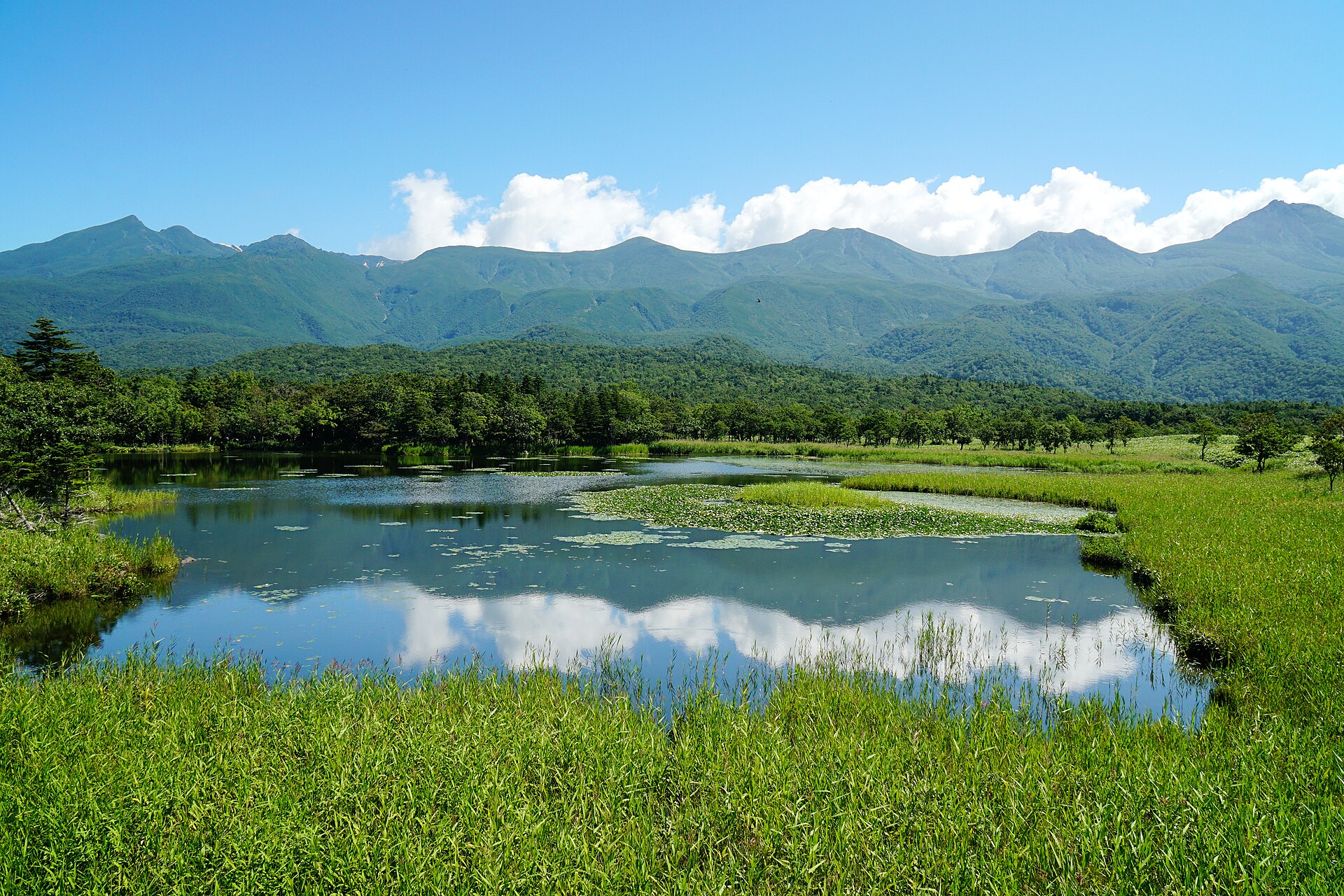
Shiretoko Five Lakes
7.8 km · straight line
 663highland / CC BY 2.5
Nature · Hokkaido★★
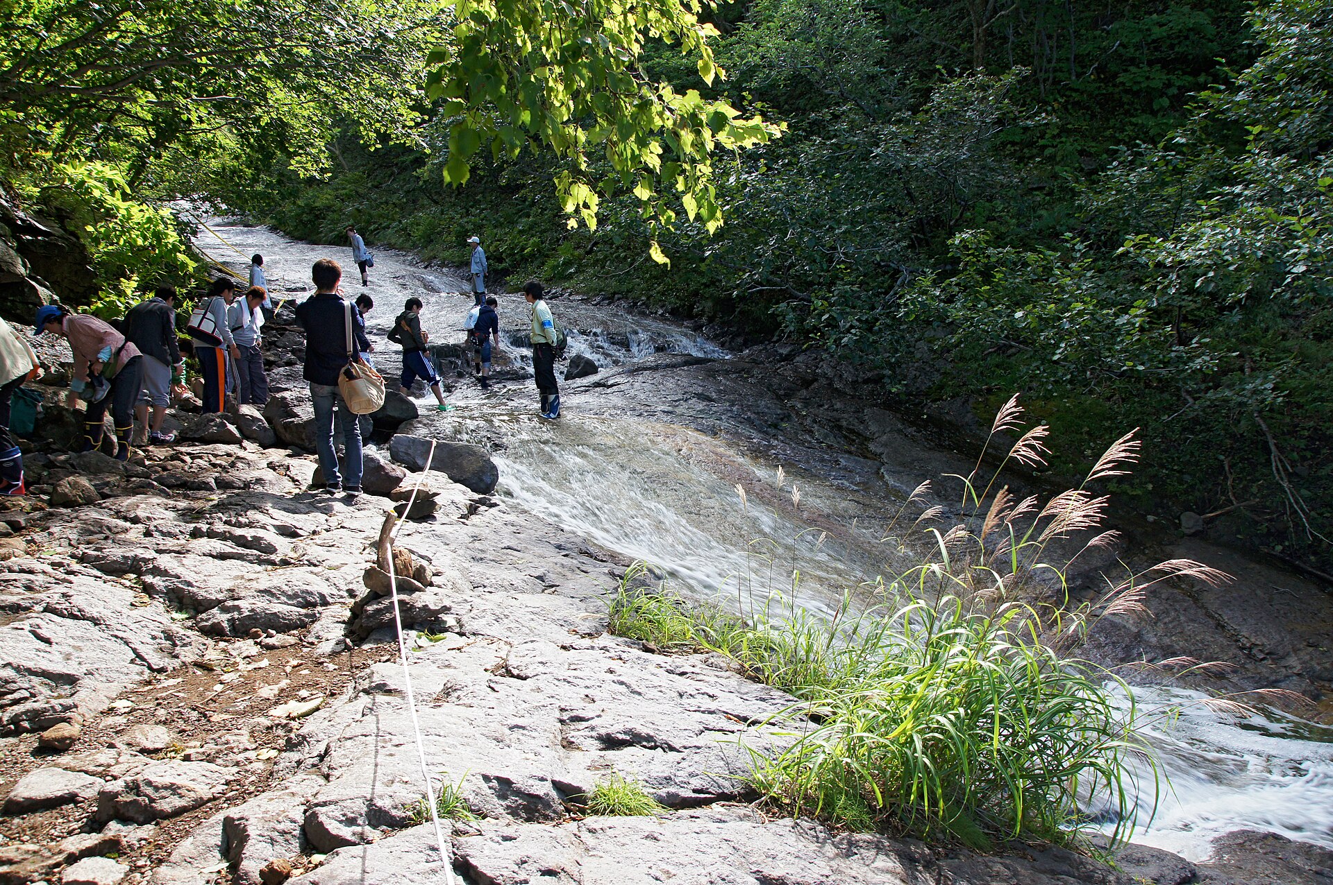
Kamuiwakka Hot Falls
11.2 km · straight line
 Ippukucho / CC BY 3.0
Nature · Hokkaido★★
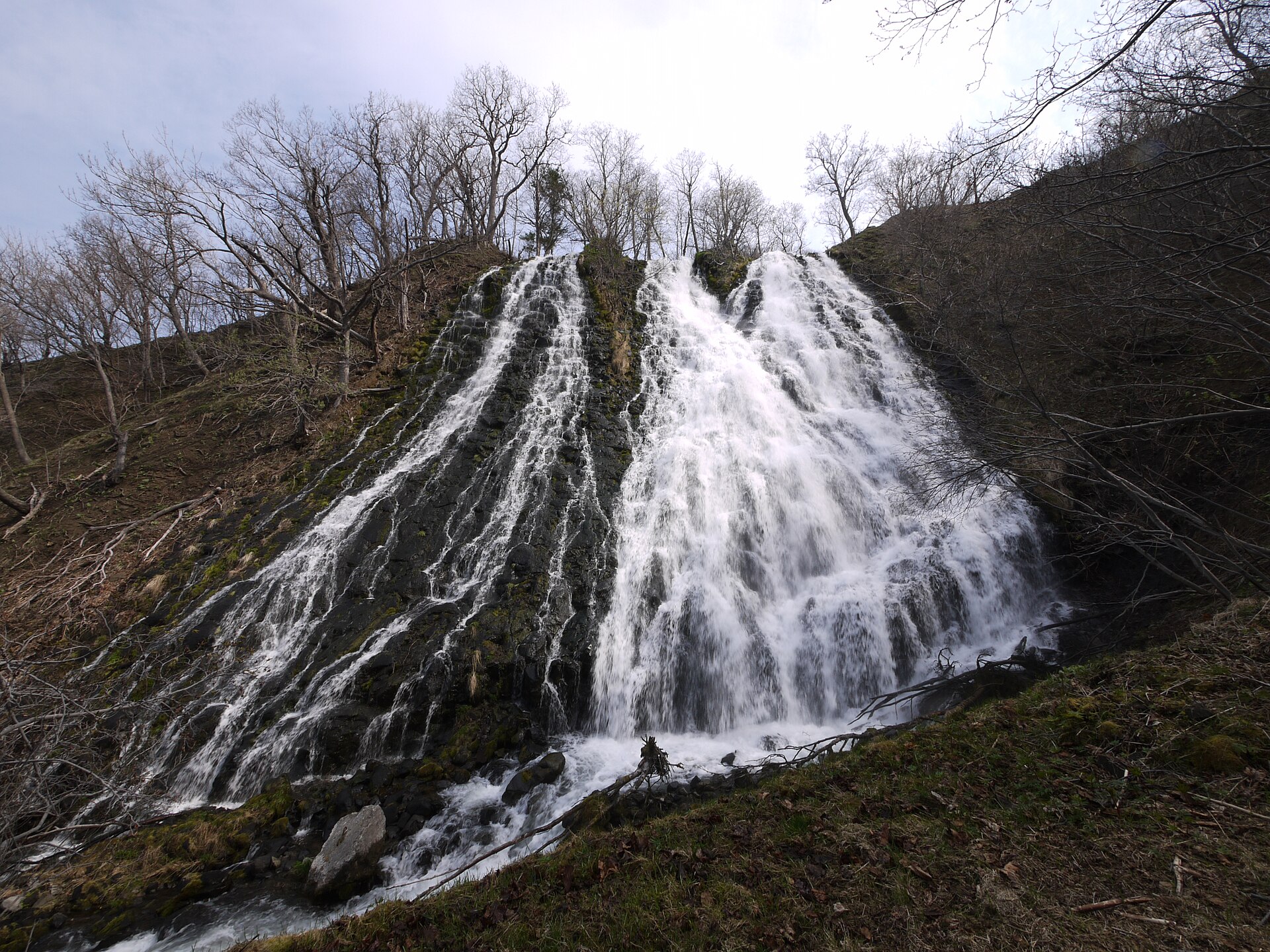
Oshinkoshin Falls
13.7 km · straight line
Distances are straight lines on the map, not travel times.