Hokkaido · SounkyoNo.734★★★Open in map →
Sounkyo Gorge
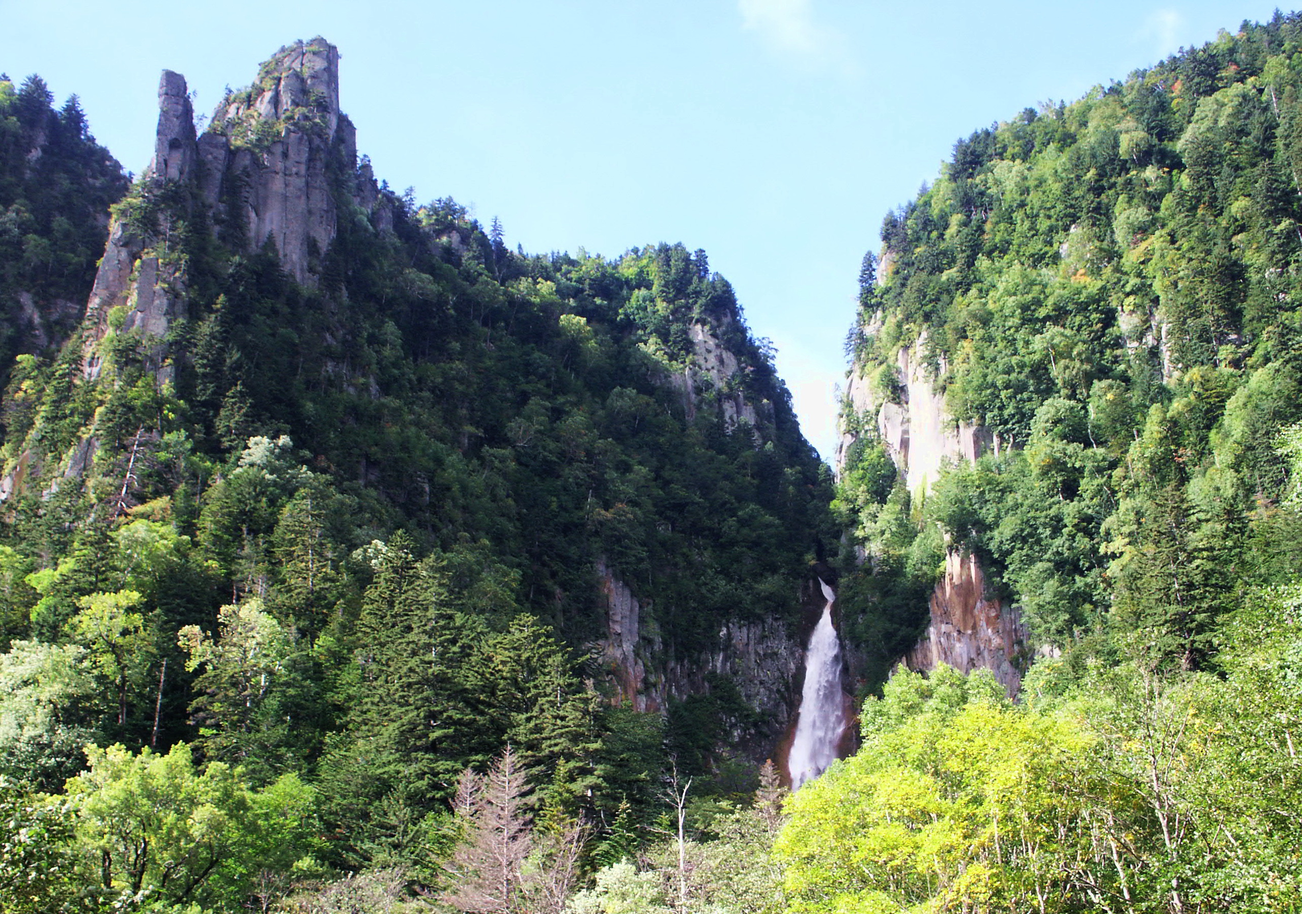
Sheer walls of columnar welded tuff line the upper Ishikari for the length of this Hokkaido gorge, and two named waterfalls drop into it side by side. A path behind their car park climbs to a platform that holds both in a single view.
- FromAsahikawa Station
- JR + 30-min busJR Sekihoku Main Line, then Dohoku Bus
- Get off atKamikawa Station (JR Sekihoku Main Line)
- From there
- Sounkyo Gorge
Where it is
102 more notes in Hokkaido · open the map →What to look for — in walking order
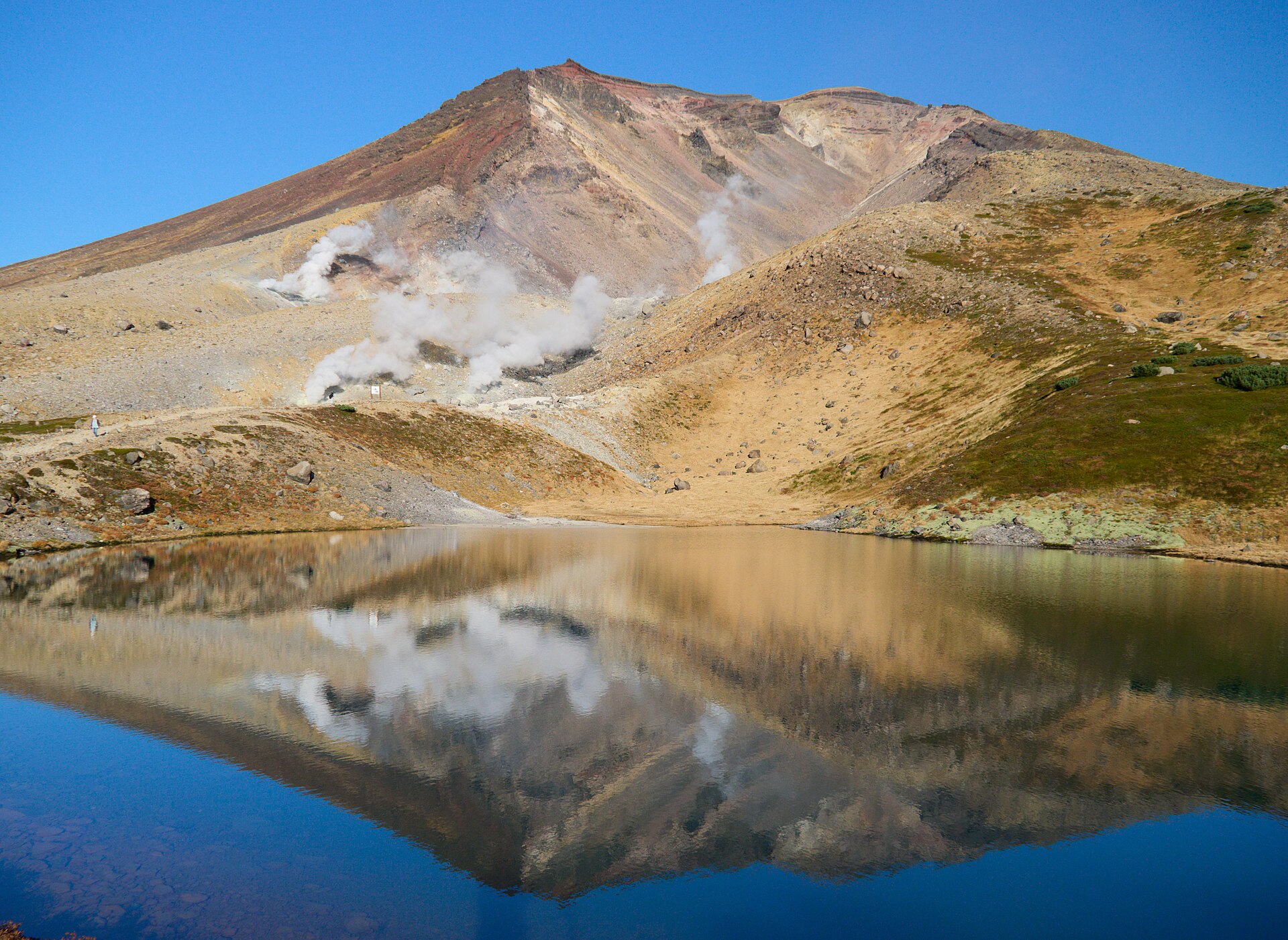
- Kurodake Ropewaythe year-round cable car from the onsen, climbing towards the 1,984-metre summit of Mount Kurodake
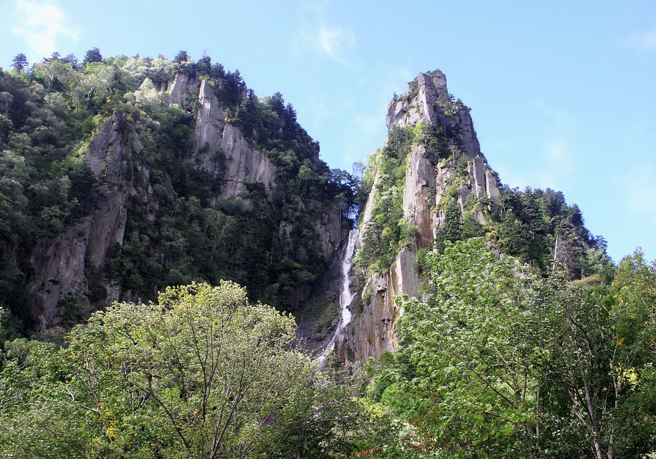
- Ryusei Fallsone heavy rope of water on the gorge wall, the husband of the pair
- Ginga Fallsa segmented fall alongside it, spreading into threads of white
- Sobakudai lookoutthe platform up the slope behind the car park, holding both falls in one frame
- Ohakoranked columnar cliffs east of the onsen, standing like the panels of a folding screen
How to actually get there
- Asahikawa Station → Kamikawa (JR Sekihoku Main Line; the Okhotsk and Taisetsu limited expresses stop).
- Kamikawa Station → Sounkyo Onsen (Dohoku Bus, about thirty minutes).
- From the onsen, continue east along the highway to the Ginga and Ryusei falls car park.
- Climb the path behind the car park, about twenty minutes, to the Sobakudai platform.
- JR to Kamikawa, then Dohoku Bus
- Kamikawa is a Sekihoku Main Line station and both the Okhotsk and Taisetsu limited expresses call there. The bus stand is at Mori no Terrace Nupuri, next to the station, and Dohoku Bus runs from it up to Sounkyo Onsen in about thirty minutes. The same operator also runs a longer service from Asahikawa Station straight through to the onsen if you would rather not change.
- Return from Sounkyo
- The same bus line drops back to Kamikawa for the trains west to Asahikawa. Departures here are sparse rather than frequent, and the last useful connection comes earlier than long summer daylight suggests. Fix the return before you walk anywhere.
About the place
Sounkyo runs for about 24 kilometres along the upper Ishikari, and for most of that distance the valley walls stand upright. The rock is welded tuff, laid down by the Daisetsuzan volcanoes and then cut through by the river. As it cooled it split into columns, and the cliffs rise in ranks of them to around 200 metres. A national highway threads the whole gorge, which is why so much of Sounkyo is seen at speed. The two falls near the middle are where that ought to stop. Ryusei comes down in one heavy rope of water; Ginga breaks into threads beside it. Locally the pair are called the husband and wife falls.
How to enjoy it
Give the falls more than the car park. The climb behind it is short, and the platform at the top is the only place where the two line up together. The ropeway works all year, but its hours shift with the season, so check them before counting on a late ride up. Autumn is the crowded window here, and the same road that makes the gorge easy makes it busy.
Background & history
The gorge was named by the travel writer Omachi Keigetsu, who took the sound of the Ainu name so-un-pet, river of waterfalls, from the stream at its mouth. The forest around it is not the one he saw. A typhoon flattened much of the old growth, the fallen timber was hauled out, and Sakhalin spruce was planted in its place, so the green on the cliffs today is a planted forest. The road has been rewritten as well: rockfall closed the old route through the narrows at Okobako, and traffic now runs behind the cliffs inside a long tunnel.
Before you go
- Cash
- The gorge itself costs nothing. Sounkyo Tourist Association lists the car parks at the Ginga and Ryusei falls and at Ohako as free, with no admission charged at either viewpoint. The Kurodake ropeway is a separate commercial fare set by its operator, so check the current rate rather than assuming one. Bus fares are settled on board, and coins are worth carrying.
- Good to know
- The old walkway through the narrows at Okobako is shut along its whole length because of rockfall, and that closure is long-standing rather than seasonal. Snow changes the rest. The highway stays open through winter, but the path behind the falls is a steep slope rather than a staircase, and the ropeway trims its operating hours in the cold months.
- Another way
- By car, the highway runs the full length of the gorge and meets the Asahikawa–Monbetsu Expressway at the Kamikawa-Sounkyo interchange. Much of the worst rockfall ground is bypassed inside the Ginga Tunnel, so the drive is smooth but blind — another argument for parking and walking.
- After you get off
- Kamikawa Station is the rail end of the trip; the gorge begins a bus ride beyond it. The bus stand at Mori no Terrace Nupuri sits beside the station building, and the Sounkyo service leaves from there. The onsen is the western end of the gorge, and the falls lie further east along the highway, with their own free car park at the foot of the climb.
Nearby notes
Distances are straight lines on the map, not travel times.