Okinawa · Miyako IslandNo.690★★★Open in map →
Yonaha Maehama Beach
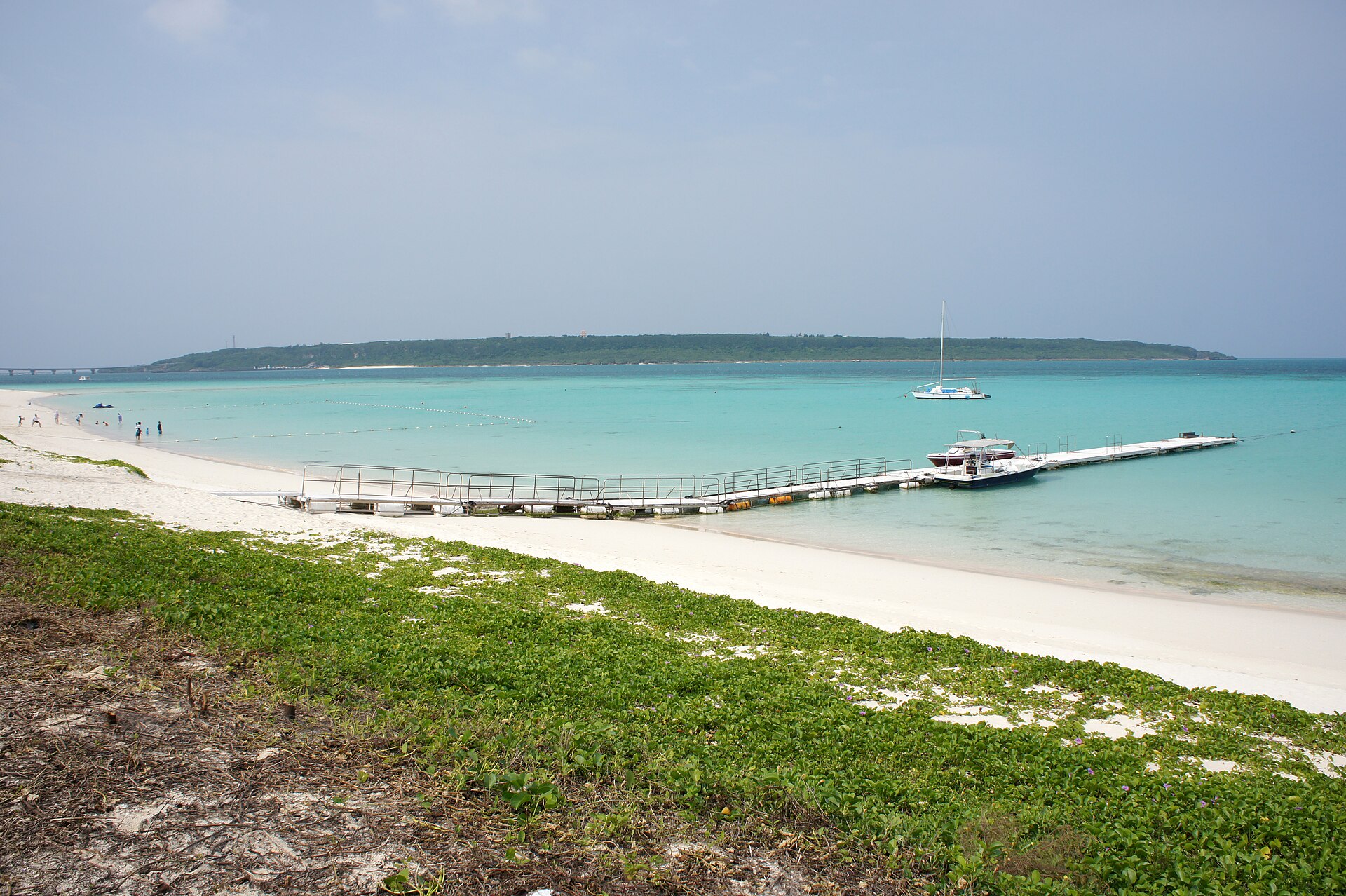
A white coral strand along the southwestern shore of Miyako Island, facing Kurima Island across a shallow channel. It is the start line of the island's triathlon, and the head of the prefecture's own list of Okinawan beaches.
- FromMiyako Airport (JAL, JTA, ANA and RAC services)
- ~15 minRental car or taxi from the airport
- Yonaha Maehama Beach
Where it is
4 more notes in Okinawa · open the map →What to look for — in walking order
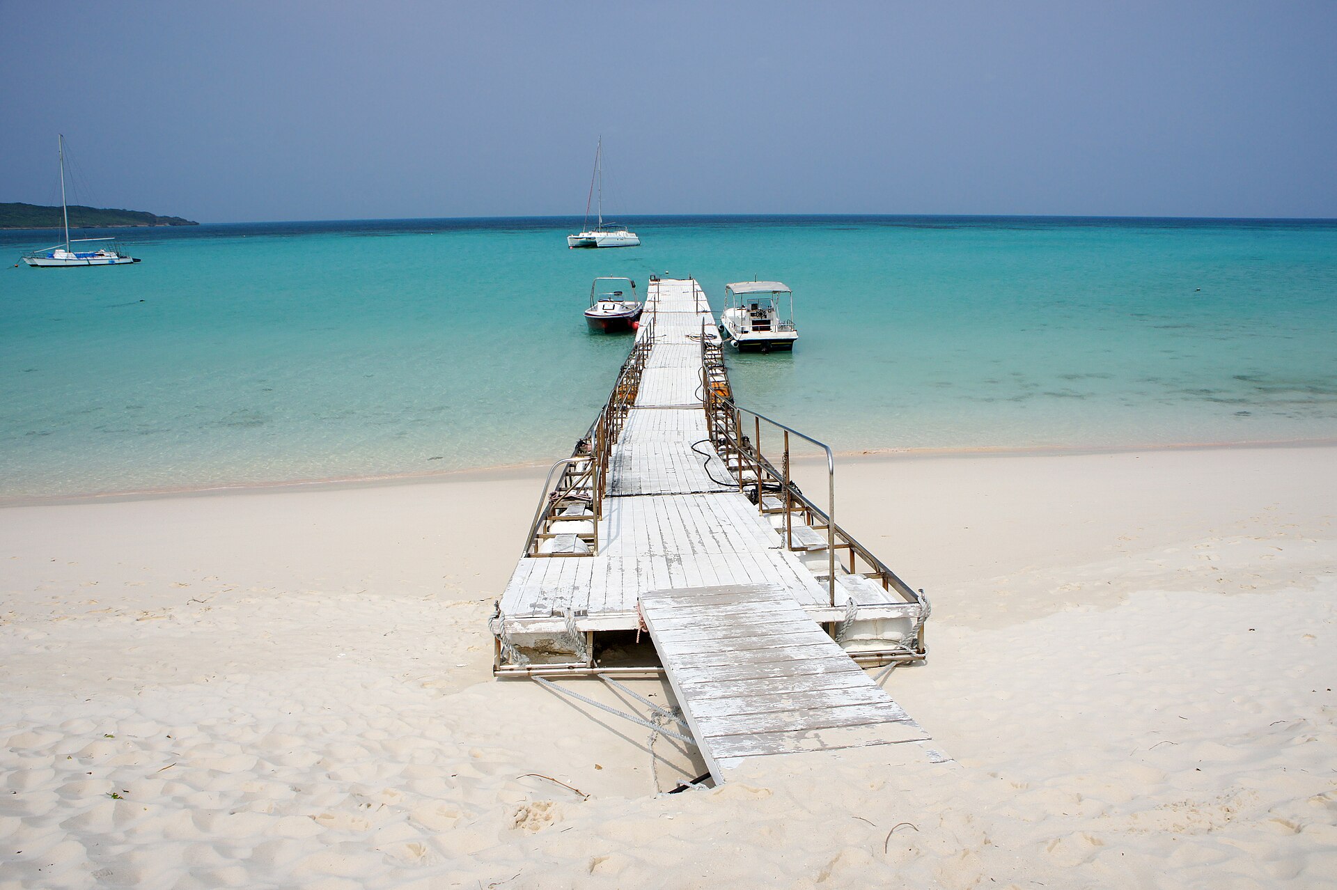
- The Maehama Port endthe arrival point toward the southeastern end, with the car park, shop, changing rooms and toilets
- The white sand strandfine coral grit running northwest, wide enough that the crowd never fills it
- The Kurima channelthe shallow water between the beach and Kurima Island, and the triathlon's swim course
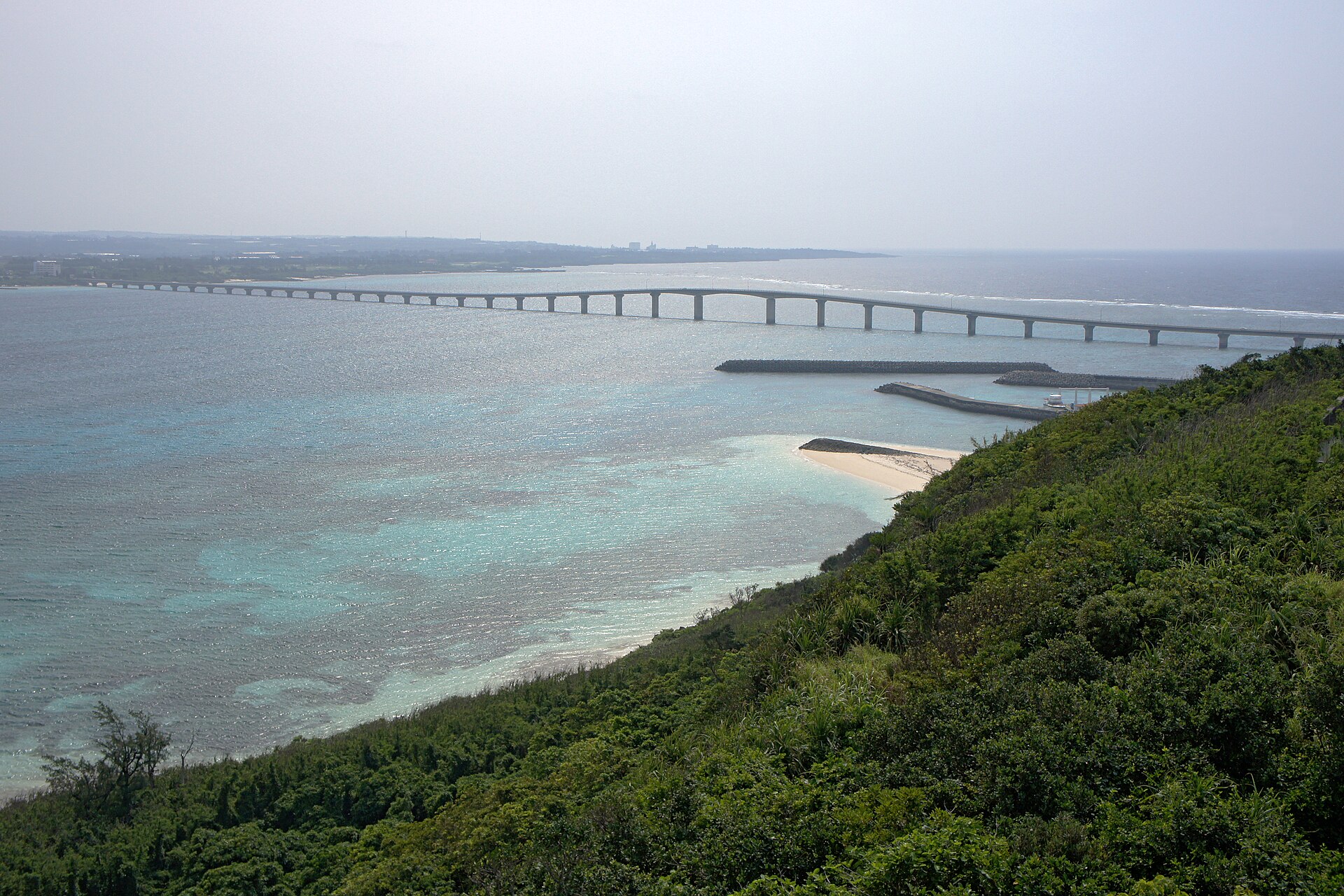
- Kurima Bridgethe span at the southeastern end, beside the arrival point, carrying the road across to Kurima Island
How to actually get there
- Naha, Osaka, Nagoya or Tokyo → Miyako Airport (JAL, JTA, ANA and RAC serve the island).
- Miyako Airport → Yonaha Maehama Beach (about 15 minutes by road).
- Park at the southeastern, Maehama Port end, by the shop and changing rooms.
- Walk northwest along the sand, then back the same way toward the Kurima Bridge.
- By road from Miyako Airport
- Both the Okinawa prefectural tourism site and the Miyakojima tourism association put the drive from Miyako Airport at about fifteen minutes on ordinary roads. The airport sits northeast of the beach, and the road runs across the island to the southwestern shore. Flights reach Miyako from Naha, Osaka, Nagoya and Tokyo.
- Back to Miyako Airport
- Allow the same fifteen minutes by road, and add the time you need to return a rental car before check-in. There is no rail on the island, so the return is by the vehicle you arrived in — settle that before you head out for the day rather than at the sand.
About the place
Yonaha Maehama runs along the southwestern edge of Miyako Island. The sand is fine white coral grit, and the strand carries on for about seven kilometres without a break. At its southeastern end the Kurima Bridge lifts away toward Kurima Island, which sits square in front of the beach across a shallow channel. Just northwest of the bridge is Maehama Port, the landing for the Kurima ferry before the bridge was built. The free car park, changing rooms, toilets and a shop stand toward this southeastern end. The Miyakojima tourism association still uses the old epithet for the sand — the whitest in the East.
How to enjoy it
Walk northwest from the car park, away from the Kurima Bridge; the sand runs on for kilometres and the island stays in view the whole way. This is a west-facing shore, so late afternoon puts the sun down over the water rather than behind you. Ask on site about lifeguards and jellyfish netting before you swim — the prefectural tourism site says both need checking locally.
Background & history
Before the Kurima Bridge was built, the crossing to Kurima Island went by boat from Maehama Port, just northwest of where the bridge now leaves the beach. The bridge took the traffic off the boats. The sand then took on a second role: the All Japan Triathlon Miyakojima starts here, sending its swimmers out into the channel each spring. Wikipedia and the prefectural tourism site agree on that much; the epithet about the whitest sand in the East came from the island's own tourism association.
Before you go
- Cash
- Facilities toward the southeastern, Maehama Port end of the beach include a car park, changing rooms, toilets and a shop. Marine-sports operators work the bay separately from the beach itself; the prefectural tourism site directs enquiries about them to the Miyakojima city tourism section rather than to any operator on the sand.
- Good to know
- The beach is open ground with no shelter along the sand. The prefectural tourism site states that the presence of lifeguards and of jellyfish netting has to be checked on site rather than assumed. Typhoons cross Okinawa between summer and early autumn, when sea conditions and flights to the island can both change at short notice.
- Another way
- Approach from Kurima Island instead. The Kurima Bridge crosses from the southeastern end of the beach, and the whole strand lies open in front of you on the way over — the view most photographs of Yonaha Maehama are taken from.
- After you get off
- From Miyako Airport the road runs southwest across the island to the shore. The car park sits toward the southeastern, Maehama Port end, near the Kurima Bridge; walk in past the shop and the changing rooms and the strand opens away to the northwest.
Nearby notes
 663highland / CC BY 2.5
Local life · Okinawa★★
Kurima Island
1.5 km · straight line
 Nesnad / CC BY-SA 4.0
Culture · Okinawa★★
Ogami Island
20.7 km · straight line
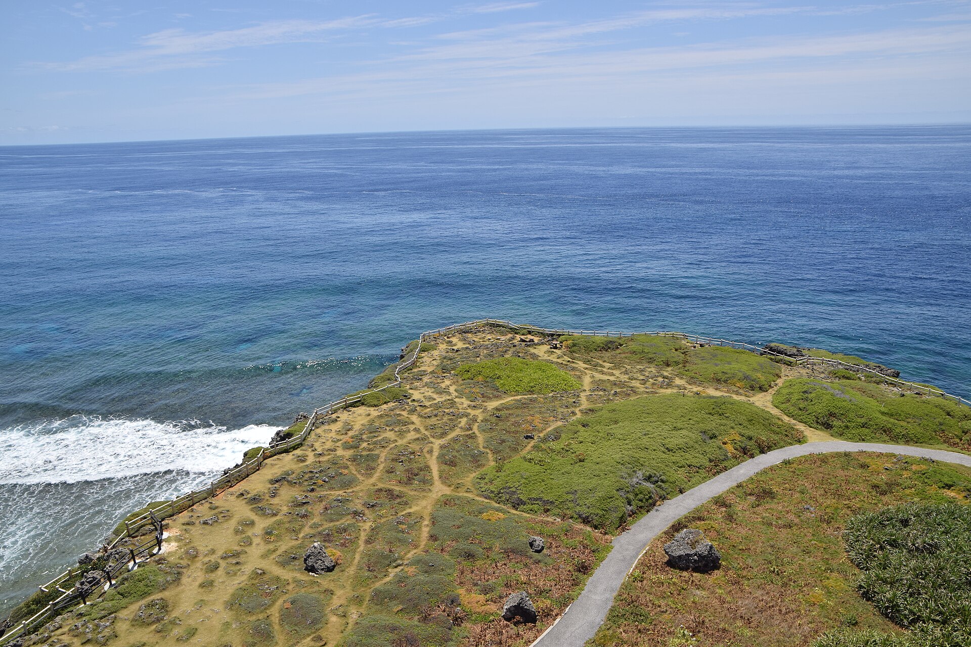 Raita Futo / CC BY 2.0
Nature · Okinawa★★★
Cape Higashi-Hennazaki
21.0 km · straight line
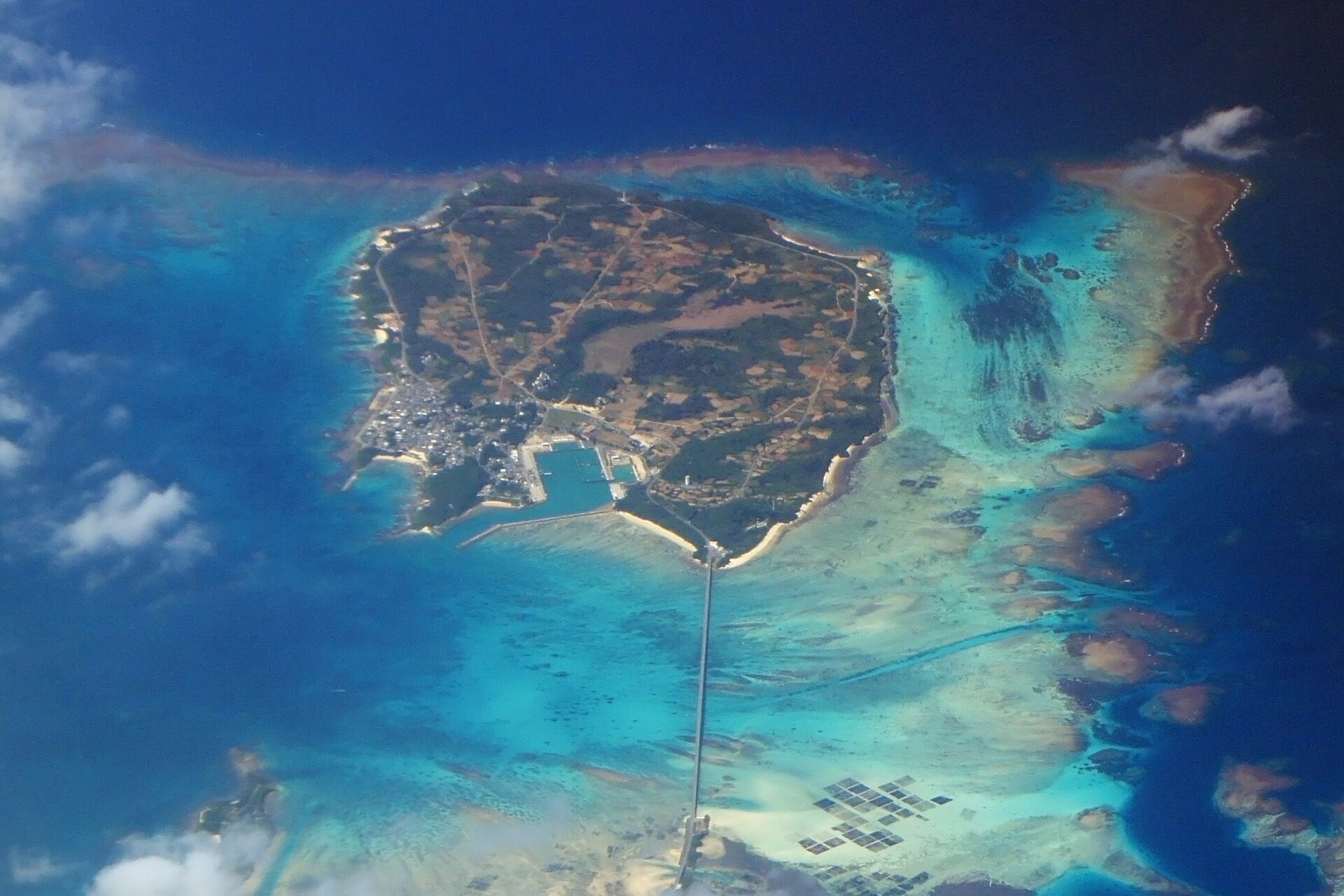 663highland / CC BY 2.5
Nature · Okinawa★★
Ikema Island
22.0 km · straight line
Distances are straight lines on the map, not travel times.