Column September 30, 2026
Shibuya Crossing Sits at the Bottom of a Valley
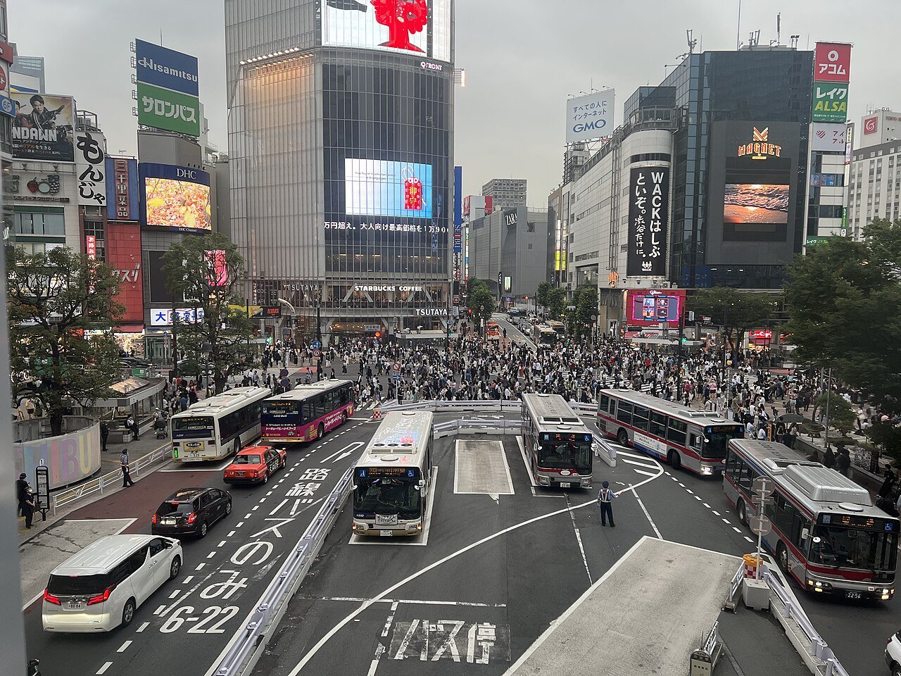
The lights change, and people step off every corner at once, diagonals included. For most visitors, Shibuya Crossing means that crowd. Few, I suspect, think about the height of the ground they are crossing.
Check the elevation data from Japan’s Geospatial Information Authority and the crossing sits at 15.2 metres above sea level. The top of Dōgenzaka, the slope to the southwest, is at 35.3 metres; the top of Miyamasuzaka, to the east, at 33.8. The crossing is nearly 20 metres lower than the tops of the slopes on either side. The crowd you came to see is gathering at the bottom of a valley.
Why a valley? According to Taro Fukazawa, a professor of archaeology at Kokugakuin University, Shibuya’s terrain was carved out of a plateau by two rivers, the Shibuya and the Udagawa, and their many tributaries. The area around the crossing, he says, was once “a low wetland with nothing but a river running through it.”
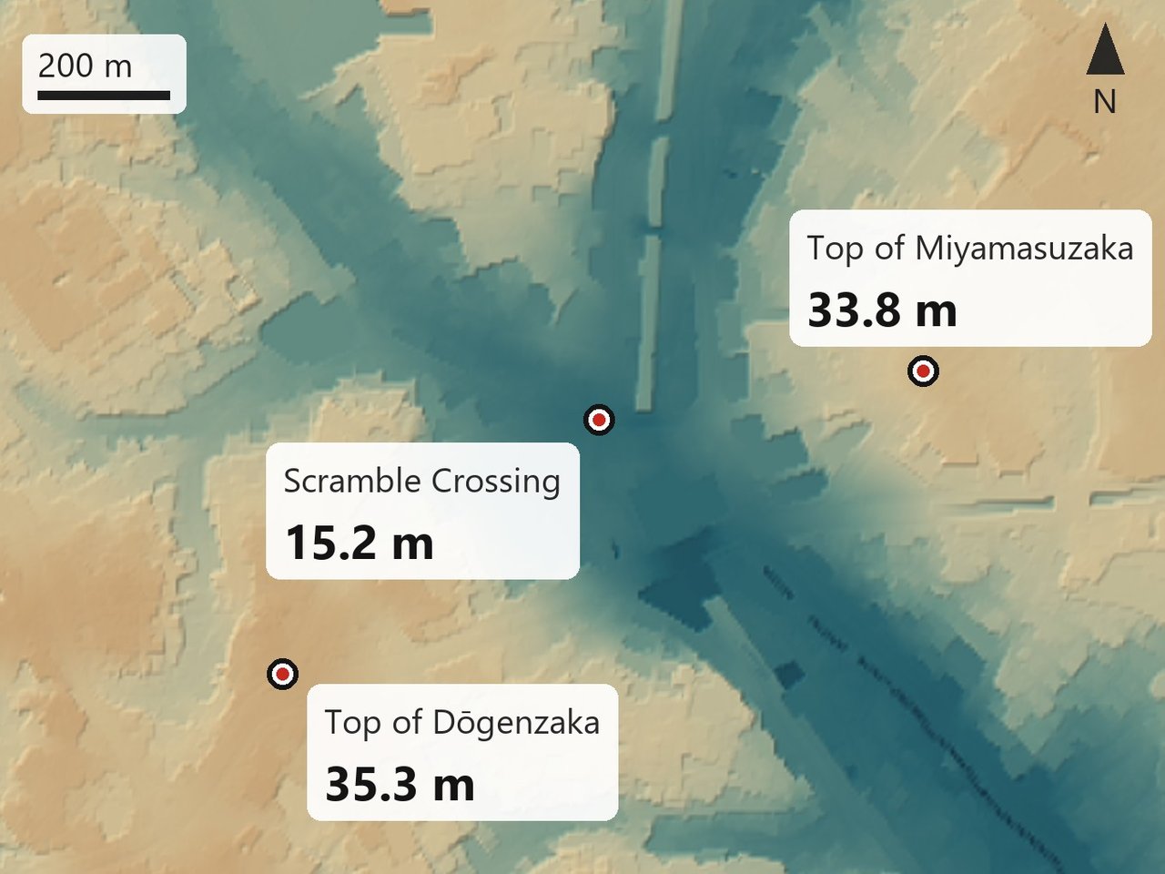
The strange part is that you cannot find the Udagawa. It was put underground into a culvert — in Fukazawa’s words, “a river that no longer exists.” Its name survives in Udagawa-cho, the neighbourhood on the crossing’s northwest side.
Its shape survives too. Spain-zaka, the steep little slope near Center-gai, is steep because the Udagawa cut it, Fukazawa says. A river nobody can see left the shape of the slope behind.
If you go, arrive from above. Walk down Dōgenzaka from the top to the crossing. The drop is twenty metres.
Then the signal changes and people pour in from every side. All of them are gathering at the bottom of the valley.