Okinawa · Aguni IslandNo.657★Open in map →
Aguni Island
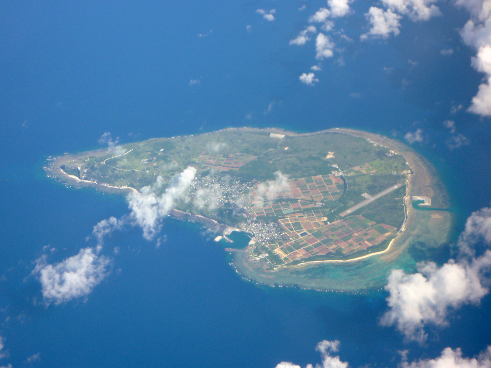
Two hours northwest of Naha is an island that sits on volcanic rock instead of coral. Its western end rises into cliffs of pale tuff, its eastern end runs out into reef, and the village between them keeps its stone walls and red tiles.
- FromTomari Port, Naha
- ~2 hrVillage ferry, once a day
- Get off atAguni Port (Aguni village ferry)
- From there
- Aguni Island
The sweet spot
Aguni is on the prefecture's own island list and the crossing is a scheduled public service, so nothing here is a secret. What thins the traffic is the shape of the schedule — one boat a day, two hours each way, no resort at the far end. People who make the trip tend to have a reason for it: the diving off the western point, the birds, or the salt.
Where it is
9 more notes in Okinawa · open the map →What to look for — in walking order
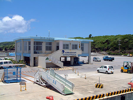
- Aguni Portthe eastern harbour and passenger terminal, where the Naha ferry ties up
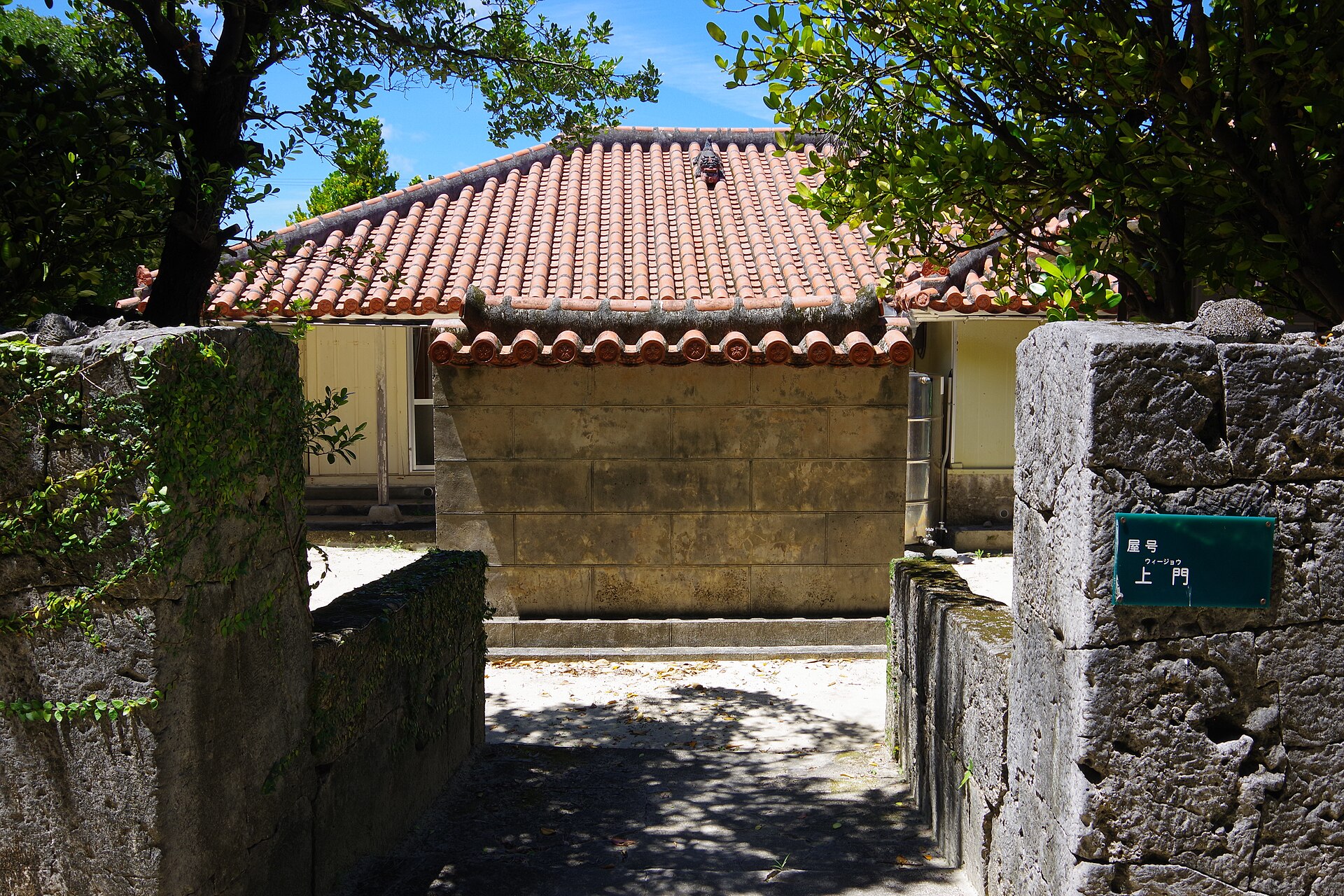
- The villagefukugi windbreaks, stacked-stone walls and red-tiled houses on the low eastern ground
- Higashi Yamatugaaa mass of rock split in two, with a path through a gap barely wide enough to pass
- Yahija Coastbare strata in black, red, brown and white along the southern shore
- Fudenzaki and Mahanathe western point, where tuff cliffs drop to the sea below an open clifftop
How to actually get there
- Naha → Tomari Port (the island ferries leave from the Tomari pier north of the city centre).
- Tomari Port → Aguni Port (village ferry, about 2 hr, one sailing a day).
- Aguni Port → the village and the southern shore by rental bicycle, car or community bus.
- Southern shore → Fudenzaki at the western end, with the Mahana clifftop above it.
- Village ferry from Tomari Port
- Tomari Port in Naha →(Aguni village ferry, about 2 hr)→ Aguni Port. One sailing a day in each direction; at the time of writing the boat left Tomari at 9:30 in the morning. The village runs the service itself and sells tickets through its Naha shipping office at the pier, so check the day's status with them rather than with a travel site.
- Return from Aguni Port
- The return sailing leaves Aguni in the early afternoon and there is no second boat, so a same-day round trip is not on. Plan at least one night on the island, or fly one leg. Departure time shifts on festival days, which is worth confirming when you arrive rather than when you want to leave.
About the place
Aguni lies about 60 kilometres northwest of Okinawa's main island, and it is built differently from almost everything around it. Where its neighbours are raised coral, Aguni rests on the deposits of volcanic activity millions of years old, so its ground is basalt, andesite and tuff worn into shapes that are rare in the prefecture. The land is high along the western coastline and slopes away eastward: the west end breaks off in cliffs, while the east side runs out into reef and white sand. The village keeps to the low ground behind fukugi windbreaks, with red-tiled houses inside walls of stacked stone.
How to enjoy it
Aguni suits a slow circuit rather than a checklist. Give the morning to the east side and the village lanes, the afternoon to the southern shore where the strata are exposed, and keep the last of the light for the western point, which faces the sunset. After dark there is very little artificial light anywhere on the island, and the tourist association runs a stargazing tour with a mobile telescope.
Background & history
What the island eats still records what it survived. Cycads planted against famine cover the slopes, and their seeds are worked into a starch miso that is sold here as an island product — Aguni has long been called the cycad island for them. Salt is the other trade: seawater is evaporated by an old hand method, and the bittern left behind goes into island tofu. Older than either is the cave the islanders call Terra, where a monk from Naha is said to have spent his last years chanting; his skull is enshrined inside it.
Before you go
- Cash
- Passage is paid at the port counter. Carry cash for the island itself, where card acceptance is patchy, and buy anything you specifically want — the salt, the cycad miso, the black sugar — before the shops close in the afternoon.
- Good to know
- Wind and swell cancel the crossing, and typhoons from summer into autumn can strand visitors for several days, so leave slack in the plan. Much of the west end is unfenced cliff edge above tuff that crumbles; stay back from the lip, especially in wind. The water off the western point runs fast and is dived by experienced divers only.
- Another way
- A small aircraft flies between Naha Airport and Aguni Airport in about 25 minutes, three days a week. It is the way to shorten the journey when the sea is up, and the only realistic way to see the island in a single day.
- After you get off
- The village is a few minutes inland on foot from Aguni Port, but the western point is about two and a half kilometres across the island, so take a bicycle, a car or the village community bus. The last stretch out to the cliffs crosses open ground with no shade.
Nearby notes
Distances are straight lines on the map, not travel times.