East Hokkaido · BihoroNo.1125★★Open in map →
Bihoro Pass
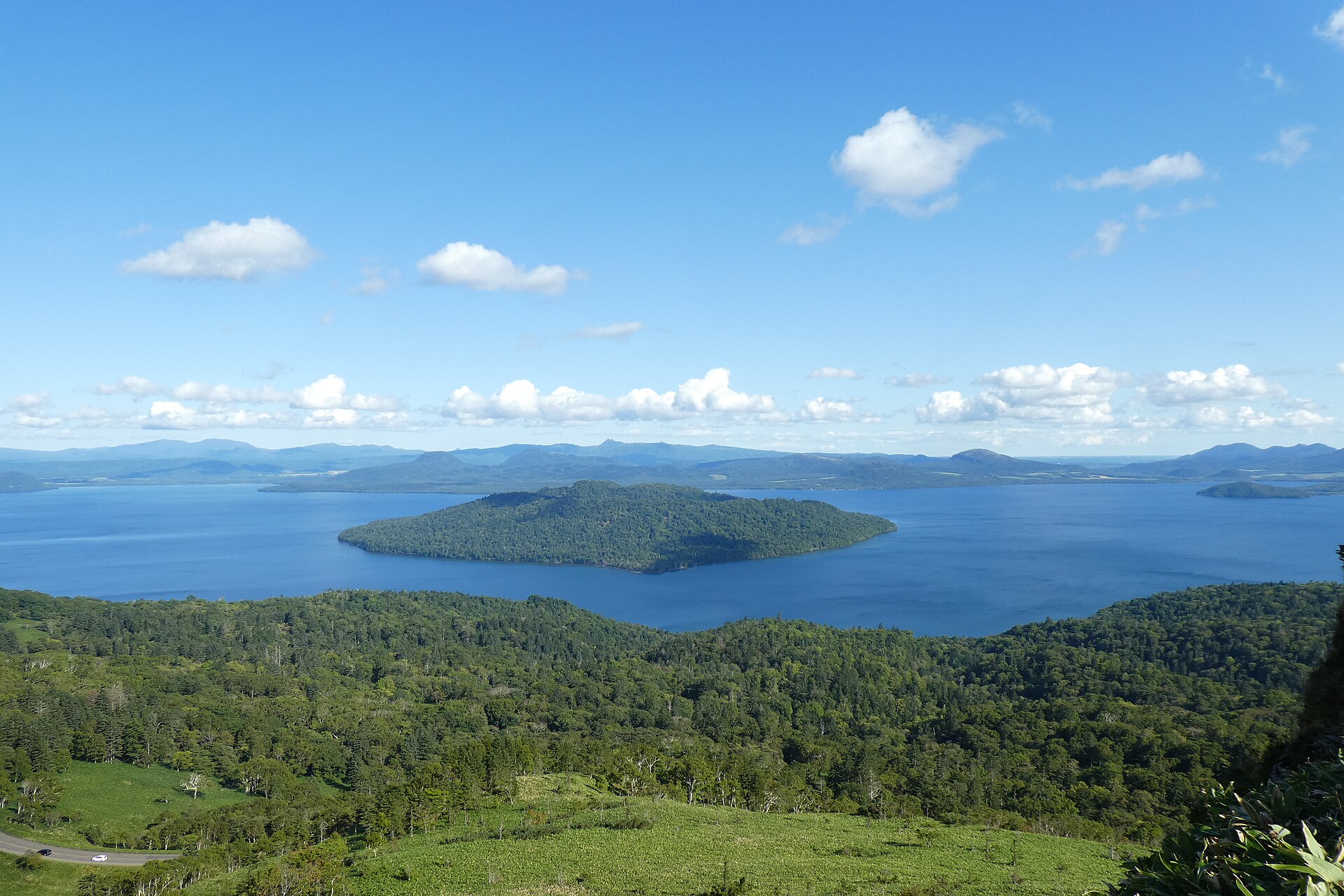
A pass in eastern Hokkaido where the national road tops the caldera rim and the whole lake appears, island and all. Park, climb one flight of steps, and the inside of the crater is in front of you.
- FromBihoro Station (JR Sekihoku Line)
- ~30 minCar from Bihoro Station
- Bihoro Pass
The sweet spot
This is not a hidden place. Coaches pull in and the car park is large. What changes the visit is the hour. The rest house keeps daytime hours only, so before it opens and after it shuts the pass belongs to the road and the light rather than to the crowd.
Where it is
102 more notes in Hokkaido · open the map →What to look for — in walking order
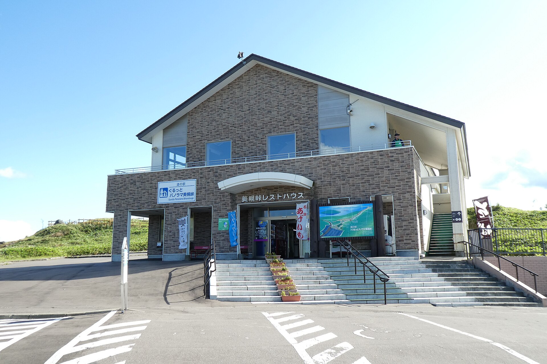
- The car park at the toplevel ground on the rim, shared with tour coaches
- The rest houseroadside station on the pass, shop below and a lounge above
- The stairway to the deckone short flight of stone steps up from the cars
- The white marker postsquare pillar on the paved deck, the standard photograph
- Nakajima in mid-lakewooded cone out on the water, sharpest when the air is dry
- The steam of Mount Iowhite thread rising on the far side of the caldera
How to actually get there
- Take the JR Sekihoku Line to Bihoro Station.
- Arrange a car or a taxi in Bihoro; Akan Bus lists the pass on its seasonal sightseeing runs only.
- Drive south on the national road that crosses the rim, about 27 km by the town's own figure.
- Park in front of the rest house and take the steps up to the deck.
- Bihoro Station, then a car
- No route bus crosses the pass through the year. Akan Bus carries it on the seasonal sightseeing services only, so without a car the pass is a fixed departure rather than a choice. Bihoro Town's own guide puts the drive at roughly half an hour, south on the national road that climbs to the rim. Rental desks and taxis are down in the town, which is where to settle the last leg.
- The same road, in daylight
- There is no evening service to catch up here, so treat the pass as a daytime stop and drive back down into Bihoro. If you are carrying on to the lakes instead, the road drops the other way, down inside the caldera toward Teshikaga.
About the place
Bihoro Pass sits on the northwest rim of the Kussharo caldera, where National Route 243 runs between the Okhotsk side and the lake country. The viewpoint stands at 525 metres. From it Lake Kussharo opens out all at once, with a wooded island afloat in the middle of the water. Official guides call it the largest caldera lake in Japan and the second largest in the world. When the air is clear the Shiretoko range lines up along the far horizon. A rest house stands at the top of the pass, so none of this is traded for a climb.
How to enjoy it
The rest house opens in the daytime and shuts earlier in the cold season, so a late-morning arrival tends to land in the middle of the coach traffic. Light in the late afternoon comes from behind you and puts the colour back into the water. The deck itself has no gate on it, which matters on the days the shop is closed.
Background & history
A track fit for horse-drawn carts was cut over Bihoro Pass in 1920, and it was pushed through in a hurry. That August, flooding closed the main southern route into the Kussharo basin, and finishing the pass road became the priority instead. It opened before the year was out, and it has carried the traffic between the Okhotsk coast and the lakes ever since. The pass also holds a small piece of Showa pop history: the singer Misora Hibari recorded a song named after it, and a stone cut with the lyrics stands by the viewpoint.
Before you go
- Cash
- The deck and the car park cost nothing. Inside, the shop sells the pass's own fried-potato snack; the official pages do not say which cards it takes, so bring cash for that.
- Good to know
- The rest house keeps shorter hours in the cold months, and the road is the larger problem — the Kawayu Visitor Center notes that blizzards shut the pass often in winter. If cloud is down on the rim there is nowhere to wait it out except indoors.
- Another way
- From the lake side the same road climbs to the pass out of Teshikaga, which is the direction the Kushiro sightseeing coach arrives from. Hokkaido's official guide gives Mashu Station as the railhead on that side.
- After you get off
- Bihoro Station is down in the town and there is no walking route up, so the railhead and the viewpoint are two separate problems. At the top the car park is directly in front of the rest house, and the deck is one flight of steps above it.
Nearby notes
 Tzu-hsun, Hsu / CC BY-SA 4.0
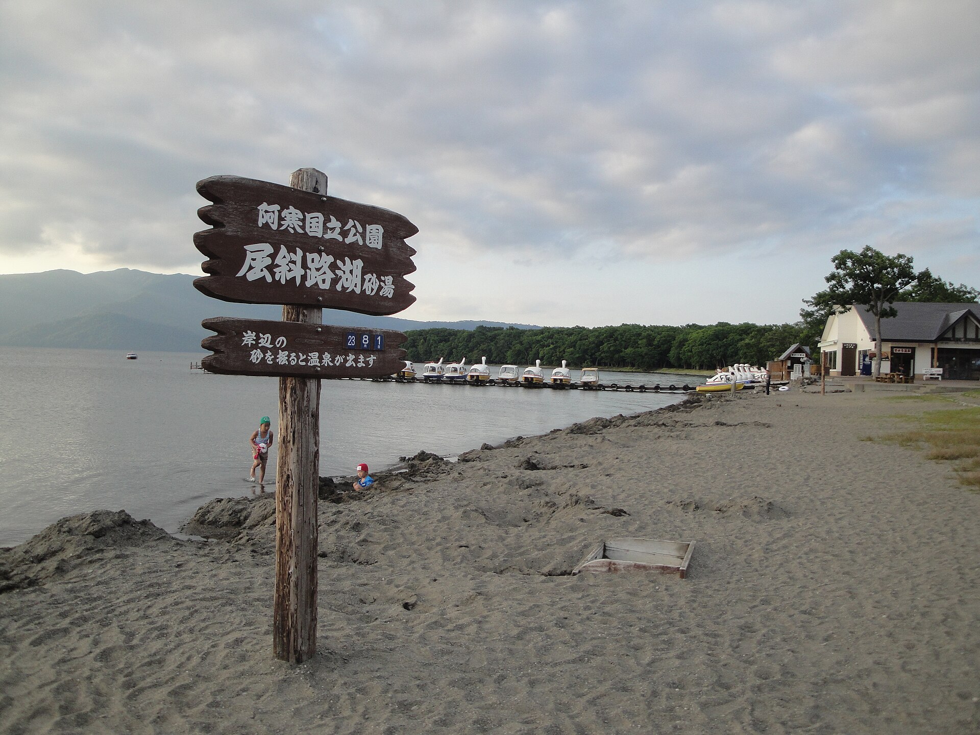
Onsen · Hokkaido★★
Sunayu
9.4 km · straight line
 Chatama / CC BY-SA 3.0
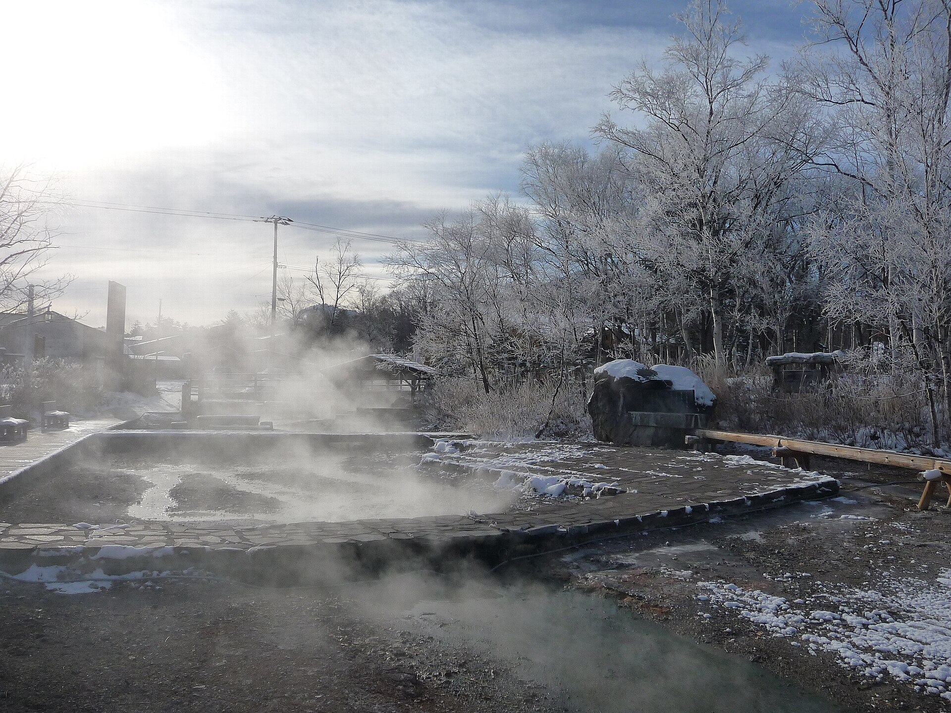
Onsen · Hokkaido★★
Kawayu Onsen
15.3 km · straight line
 663highland / CC BY 2.5
Nature · Hokkaido★★
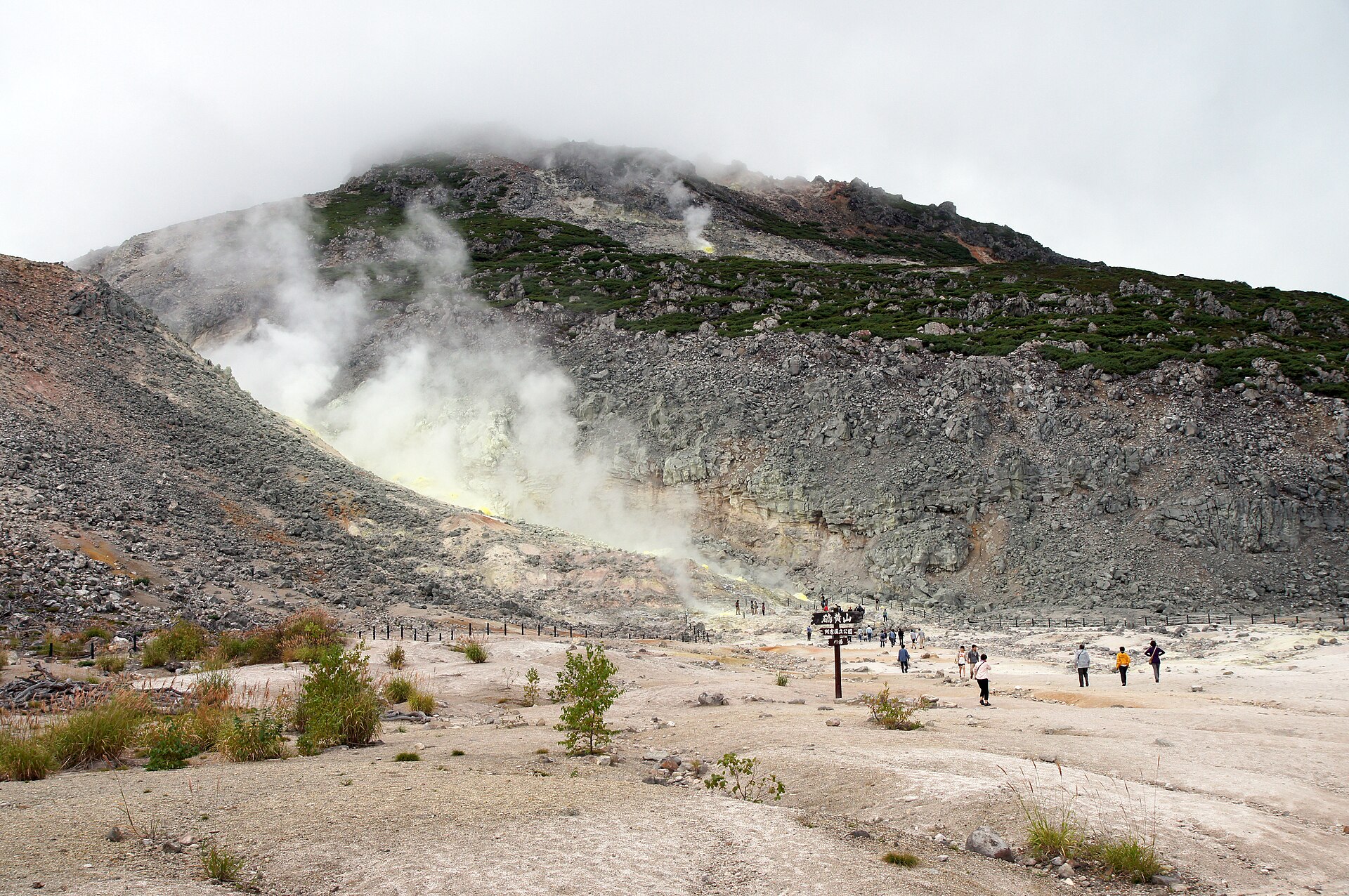
Mount Io Atosanupuri
16.0 km · straight line
 melvil / CC BY-SA 4.0
Nature · Hokkaido★★★
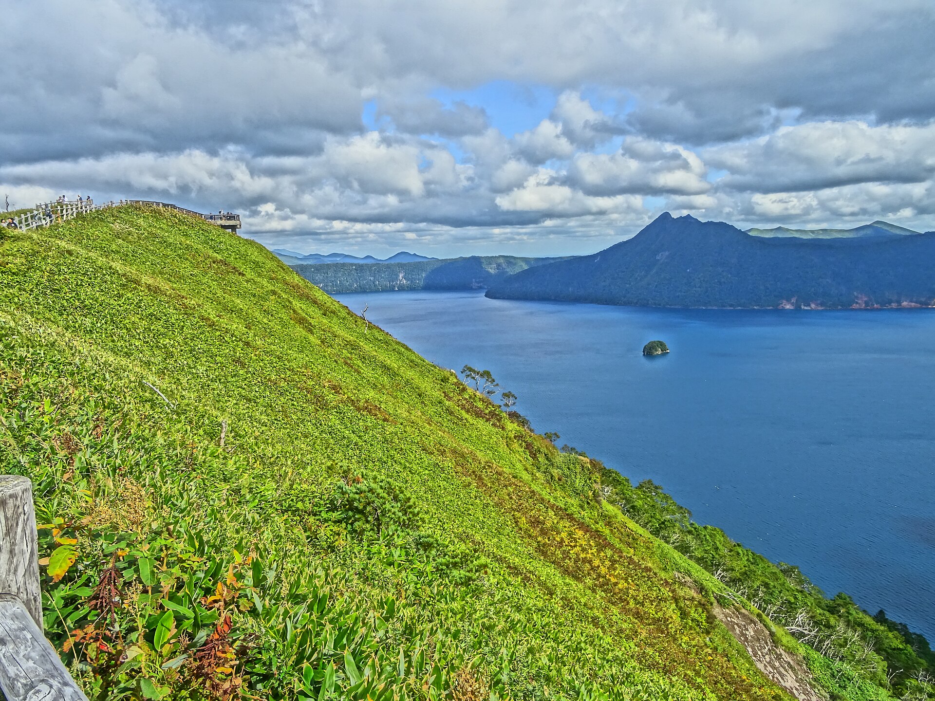
Lake Mashu
23.2 km · straight line
Distances are straight lines on the map, not travel times.