North Iwate · HachimantaiNo.1164★★Open in map →
Hachimantai
— Volcanic plateau of crater ponds and boardwalk
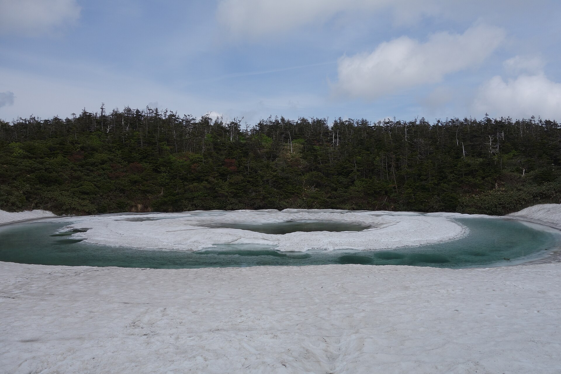
A wet volcanic plateau on the Iwate-Akita border where a mountain road delivers you almost to the top. Boardwalk links crater ponds, high moor and conifer forest, and one pond thaws into the ring known as the Dragon Eye.
- FromMorioka Station
- ~1 hr 50 minSeasonal bus from Morioka
- Get off atHachimantai Chojo (Mikaeri Pass car parks)
- From there
- Hachimantai
The sweet spot
This is not an undiscovered place. The Dragon Eye has become one of Tohoku's most photographed sights, and the pass fills with cars during the thaw. What keeps it calm is the shape of the ground: the paths fan out across open moor, so walkers thin fast once you step past the first viewpoint.
Where it is
17 more notes in Iwate · open the map →What to look for — in walking order
- Mikaeri Passthe top of the Aspite Line, with free and paid car parks and a deck over the ridgeline
- Kagami-numathe crater pond that thaws into the Dragon Eye, a short climb above the trailhead
- Hachimantai summit deckan observation deck on the flat top, looking out to Mount Iwate and Mount Chokai
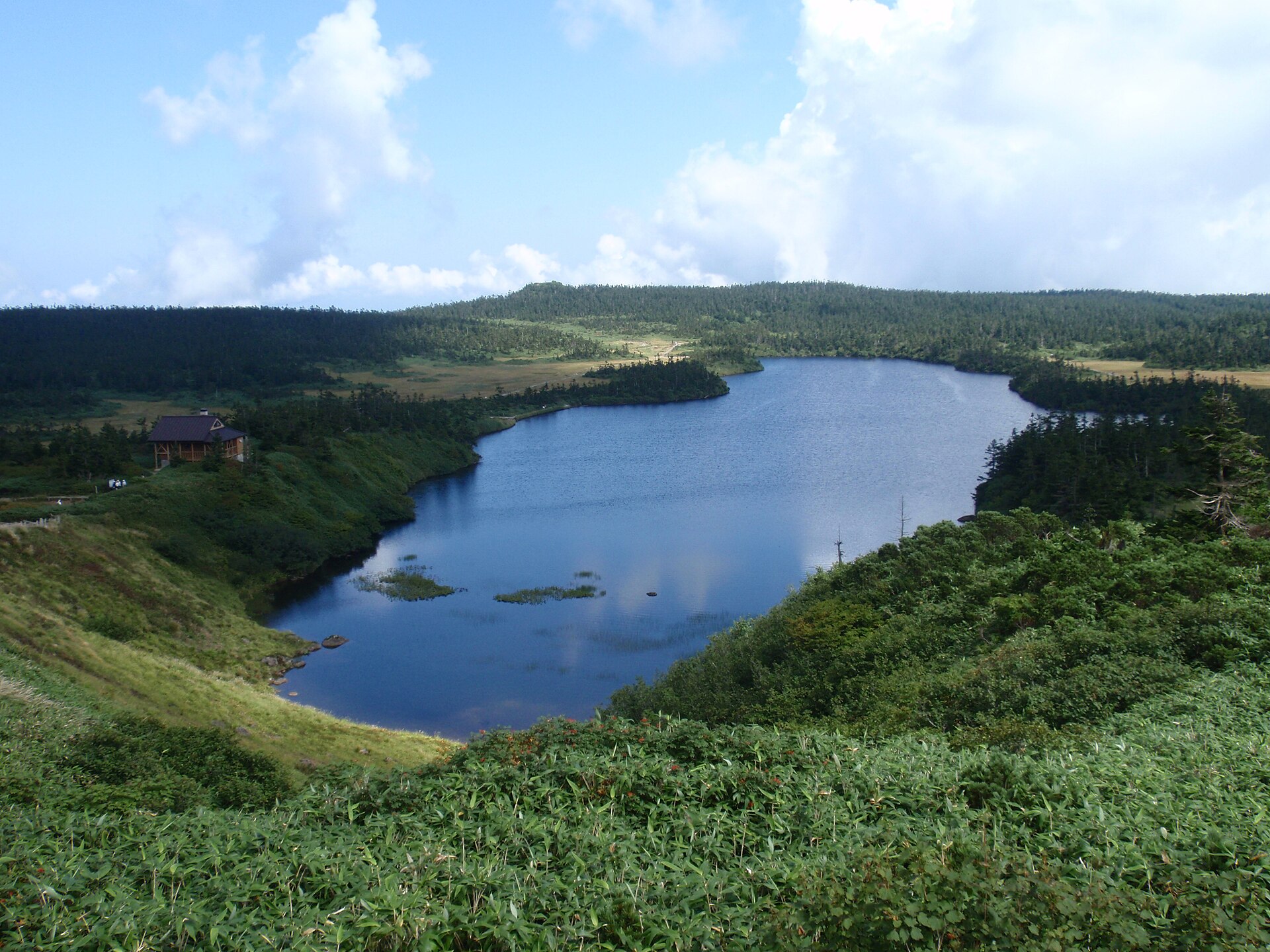
- Hachiman-numathe broad crater lake below the summit, ringed by moorland boardwalk
- Gama-numaa smaller pond on the way back to the pass, seen from its own viewpoint
How to actually get there
- Morioka Station east exit, stand 3 → Hachimantai Chojo (Iwate Kenpoku seasonal bus, about 1 hr 50 min).
- From the car parks at the pass, take the paved path up to Kagami-numa, the Dragon Eye pond.
- Continue to the summit deck, then drop to the Hachiman-numa boardwalk and the Gama-numa viewpoint.
- Close the loop at Mikaeri Pass and take the same bus back down to Morioka.
- Seasonal bus from Morioka Station
- Morioka Station east exit, stand 3 → Hachimantai Chojo on the Iwate Kenpoku nature-walk bus, roughly 1 hour 50 minutes. It runs from spring into late autumn, takes no reservation, and the fare is settled when you get off. The route goes by way of the Hachimantai hot-spring villages and over the Aspite Line.
- The last bus off the plateau
- Departures back to Morioka are few, so the return time is the hard limit on how far you walk. Read the posted time at the stop before you set off and keep the summit loop inside it. If you miss it, the fallback is a taxi down to the hot-spring villages on the Iwate side.
About the place
Hachimantai straddles the border of Iwate and Akita, its main peak standing at 1,613 metres. The top is not a cone but a broad, wet plateau — high moor pocked with crater lakes, of which Hachiman-numa is the best known. Conifer forest of Aomori todomatsu covers the upper slopes at a density counted among the greatest in Japan, and in winter the same trees freeze into rime figures. A prefectural road, nicknamed the Hachimantai Aspite Line, carries cars almost to the top and stops at a pass with car parks and a rest house on the prefectural border. From there on it is boardwalk and paved path.
How to enjoy it
The Dragon Eye usually appears between late May and early June, and only when the thaw cooperates. The full nature trail around the summit and Hachiman-numa runs about two to three hours; a shorter circuit from the pass past Kagami-numa and Gama-numa gets you the ponds without the whole loop. The road itself is open from around the middle of April to the start of November, so the visit has to sit inside that window.
Background & history
Hachimantai was added to Towada National Park on 10 July 1956, and the park was renamed Towada-Hachimantai to take it in. The road's nickname preserves an older reading of the mountain: Aspite is a German geological term for a shield volcano, which is what Hachimantai was long taken to be. Later survey work reads it instead as a group of stratovolcanoes, but the name on the road stayed.
Before you go
- Cash
- There is a free car park at the pass and a paid one by the rest house; charges and opening dates move with the season, so confirm before you drive up. The bus fare is paid on board, so carry cash.
- Good to know
- The Aspite Line is shut through the winter and reopened each spring once the snow walls have been cut, and there are night closures late in the season. Weather on the plateau turns fast even in summer, and the boardwalk is exposed the whole way.
- Another way
- From the Akita side the same road climbs from Kazuno and the Tamagawa hot springs, with buses up from Kazuno-Hanawa Station. By car, Matsuo-Hachimantai IC on the Tohoku Expressway is the usual approach from the Iwate side.
- After you get off
- The bus terminus and the car parks sit together at the top of the road, on the Iwate-Akita border. The rest house and the trailhead are a short walk apart, and the path to Kagami-numa starts from the border trailhead just above the parking.
Nearby notes
 Raita Futo / CC BY 2.0
Onsen · Akita★★
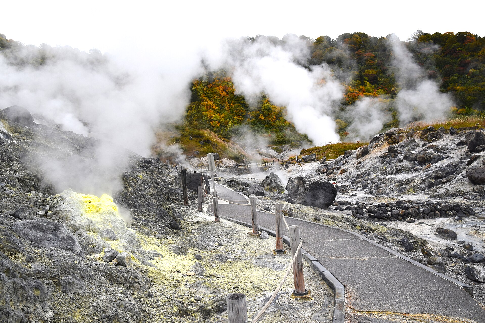
Tamagawa Onsen
11.1 km · straight line
 掬茶 / CC BY-SA 4.0
Onsen · Akita★★★
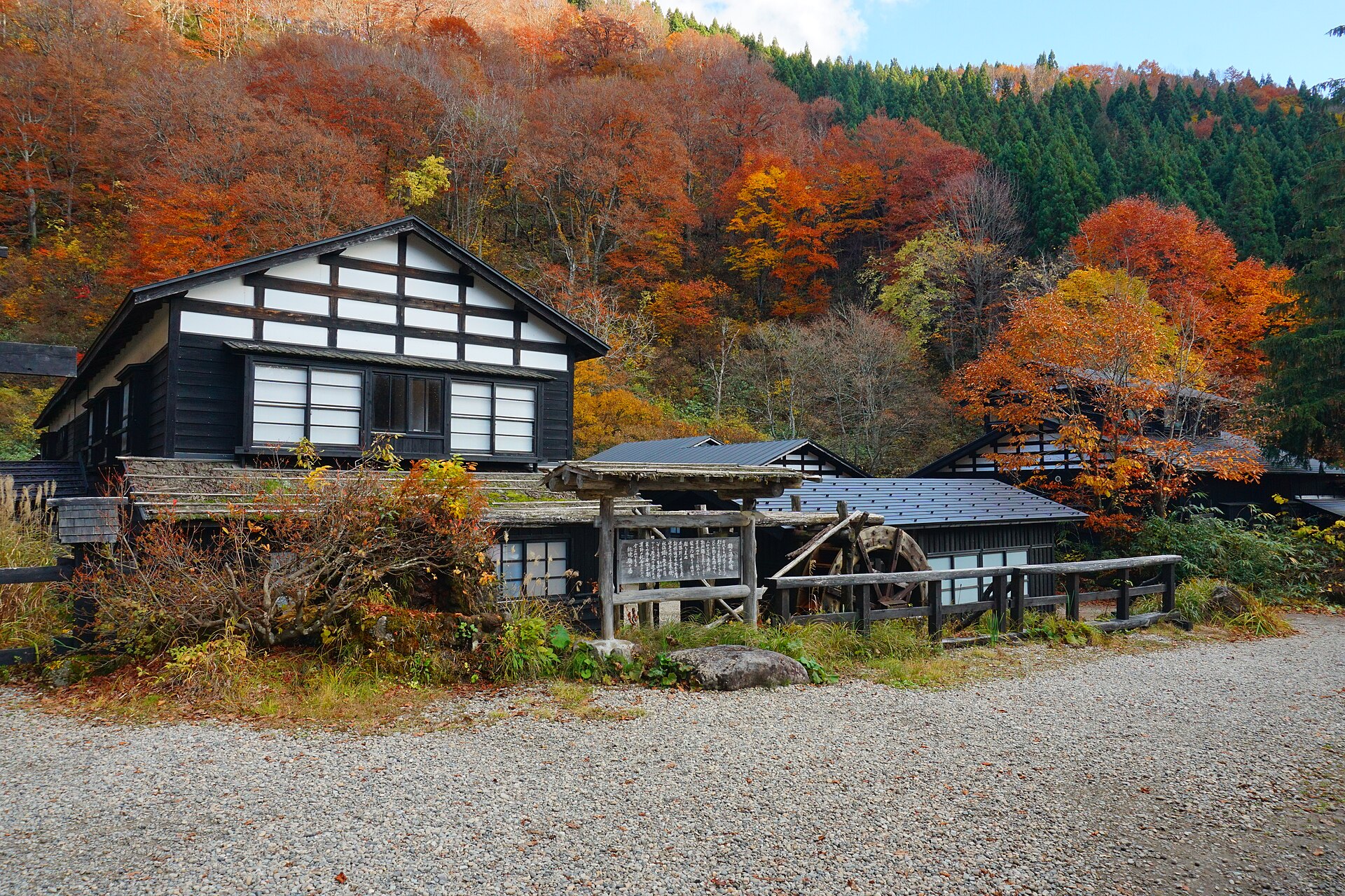
Nyuto Onsenkyo
17.7 km · straight line
 Marho / CC BY-SA 4.0
Culture · Akita★★
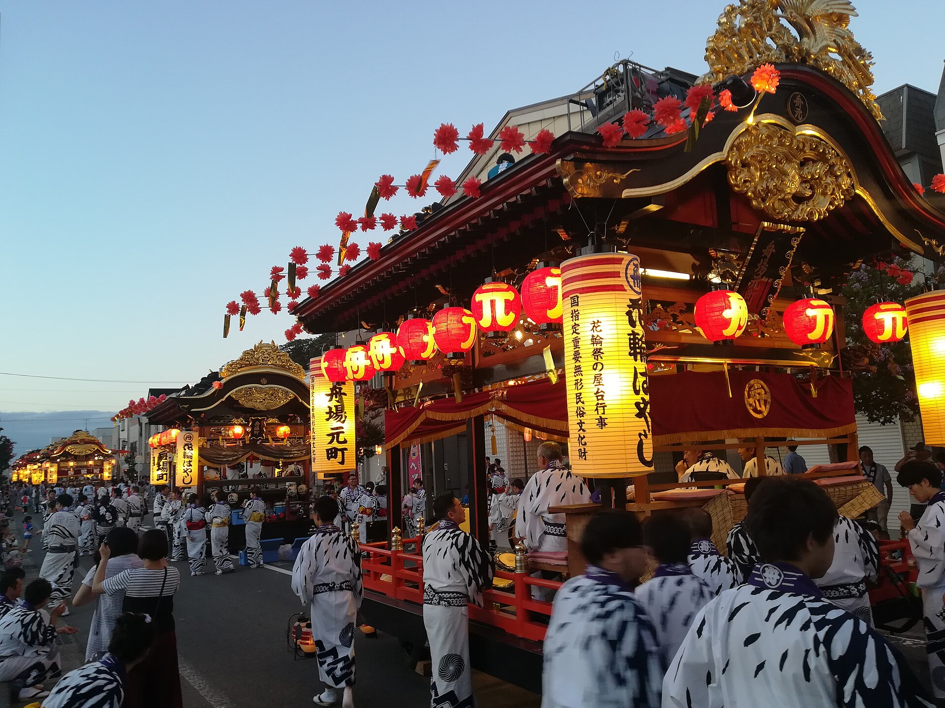
Hanawa Bayashi
25.6 km · straight line
 掬茶 / CC BY-SA 4.0
Local life · Iwate★★
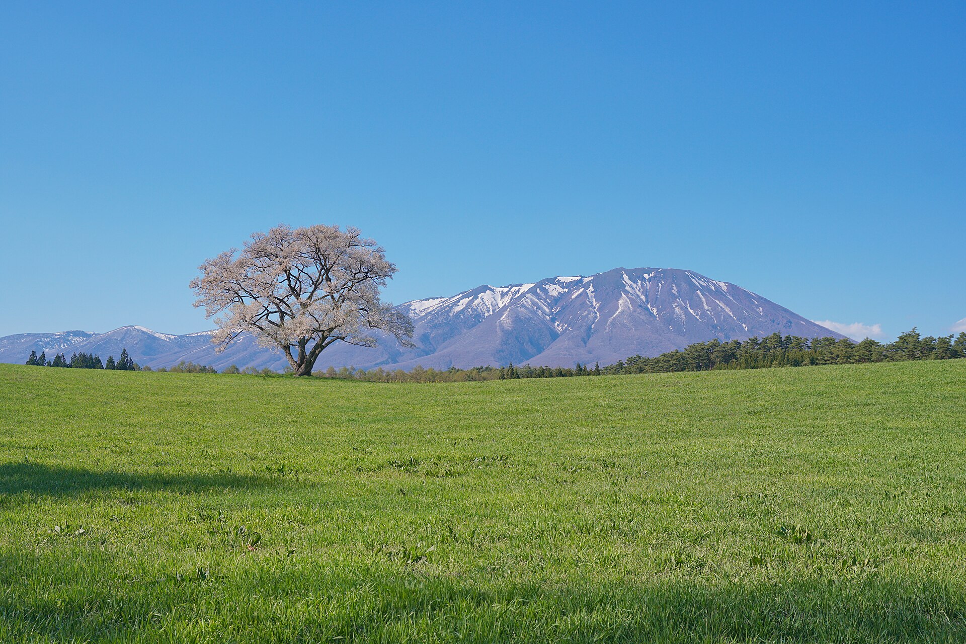
Koiwai Farm
26.9 km · straight line
Distances are straight lines on the map, not travel times.