Fukuoka Inland · HikosanNo.1085★★Open in map →
Hikosan Jingu
— Shrine hall on one of Japan's three Shugendo mountains
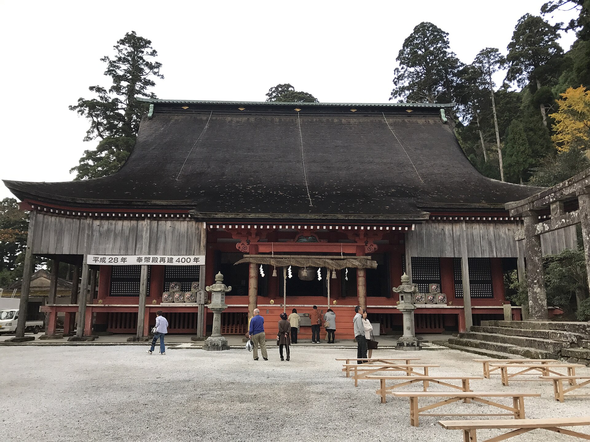
A shrine set part-way up one of Japan's three great mountains of ascetic practice, on the Fukuoka side of the Oita border. From a bronze gate at the road, a stone-paved climb through cedar leads to a wide ritual hall standing above the ruins of a religious town.
- FromKokura Station
- ~2 hrJR, BRT, then a town bus
- Get off atHikosan Station (JR Kyushu BRT Hikoboshi Line)
- From there
- Hikosan Jingu
The sweet spot
Hikosan is well known within Kyushu and busy in the autumn colour season, so it is not an unvisited corner. What surprises people is how much of it is ruin rather than building. The approach runs through the empty platforms of a religious town that has gone, and reading those is a different visit from photographing the hall.
Where it is
28 more notes in Fukuoka · open the map →What to look for — in walking order
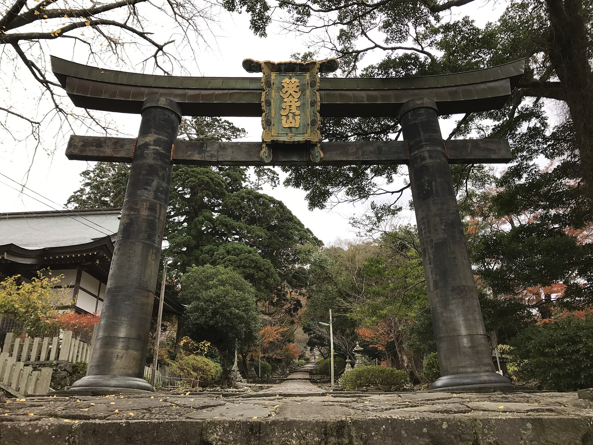
- Kane-no-torii bronze gatea bronze torii of about seven metres at the foot of the approach, nationally designated
- The stone-paved approacha paved and stepped climb through cedar, running from the gate up to the hall
- The lodging terracesstone platforms stepped up both sides of the path, left by the ascetics' houses
- Hoheidenthe wide ritual hall on its stone terrace, the working centre of the shrine
- Shimotsu-guthe lowest of the upper shrines, on the trail that carries on toward the peaks
How to actually get there
- Kokura Station → Soeda Station (JR Hita-Hikosan Line), then change to the BRT Hikoboshi Line for Hikosan.
- Hikosan → Kane-no-torii (Soeda town bus toward Buzenbo).
- Walk up the stone-paved approach from the bronze torii, past the lodging terraces, to the Hoheiden.
- Return to the Kane-no-torii stop for the bus back to Hikosan, leaving a wide margin on the timetable.
- Hita-Hikosan Line to Soeda, the BRT to Hikosan, then the town bus
- Kokura Station →(JR Hita-Hikosan Line)→ Soeda Station →(JR Kyushu BRT Hikoboshi Line)→ Hikosan →(Soeda town bus toward Buzenbo)→ Kane-no-torii. Allow about two hours from Kokura. Both the BRT and the town bus run to a thin rural timetable, so check the connections before you leave rather than on the platform.
- Back down to Hikosan and the BRT
- Return from the Kane-no-torii stop to Hikosan on the town bus, then take the BRT to Soeda and the Hita-Hikosan Line back to Kokura. This is a chain of three rural services and the last useful departure is early by city standards, so photograph the town-bus timetable at the stop when you arrive. A taxi from Hikosan is the fallback if the bus has gone.
About the place
Mount Hiko rises to 1,199 metres on the border of Fukuoka and Oita, in three peaks — Kitadake, Nakadake and Minamidake — with the shrine's halls stepped down the western flank below them. It is counted with Haguro in Dewa and Omine in Nara as one of the three great mountains of Japanese ascetic practice. The part a visitor walks is the lower half: a bronze torii standing at the road, a paved and stepped approach climbing through cedar, and the Hoheiden, the wide hall where the shrine's rites are held. On both sides of that climb the slope is cut into stone terraces, left behind by the lodgings that once housed the mountain's ascetics.
How to enjoy it
Start at the bronze torii and walk up rather than riding: from the slope car the terraces on either side pass as scenery, when what they are is the ground plan of a town. The approach is short enough to take slowly, and taking it slowly is the whole point. If you mean to go on to the summit shrine, treat that as a separate half-day and read the shrine's and the town's notices first, because the upper trails close periodically for repair.
Background & history
The mountain grew as a Buddhist-Shinto complex under the deity Hikosan Gongen, and at its Edo-period height it supported thousands of ascetics living in hundreds of lodgings on the slope. The present Hoheiden was raised in 1616 by Hosokawa Tadaoki, lord of the Kokura domain, on the site of the great lecture hall of Reisenji, the temple that had stood at the centre of the order. The bronze torii below it was given in 1637 by Nabeshima Katsushige of the Saga domain. In 1729 the retired emperor Reigen granted the character ei, and the mountain's name became Eihikosan.
Before you go
- Cash
- The approach, the bronze torii and the shrine ground are open and free to walk. The slope car beside the path is ticketed, and the shrine sells amulets and seals at the hall; both are cash matters, and card payment and cash machines are scarce once you leave Soeda. The slope car's fare is set by the town and revised from time to time, so check it rather than assume it.
- Good to know
- The approach is stone throughout and rises steadily, slick after rain, and there is no lighting once the light goes. The slope car has been running on only part of its line, so do not plan around it without checking the town's page for the day you are going. Trails above the shrine are closed at times for repair work on the upper shrine, and the summit traverse has been opened only on announced dates.
- Another way
- By car, leave the Oita Expressway at Haki and climb the mountain road to the Bessho car park below the shrine; a taxi from Hikosan Station follows the same road. From the Oita side the mountain is reached over the prefectural border from Nakatsu.
- After you get off
- From Hikosan the town bus climbs to the Kane-no-torii stop, which sets you down beside the bronze gate itself. The approach begins there: pass under the torii and start up the stone paving, which leads without a turning to the hall.
Nearby notes
 DENCHIkun / Public domain
Craft · Fukuoka★★
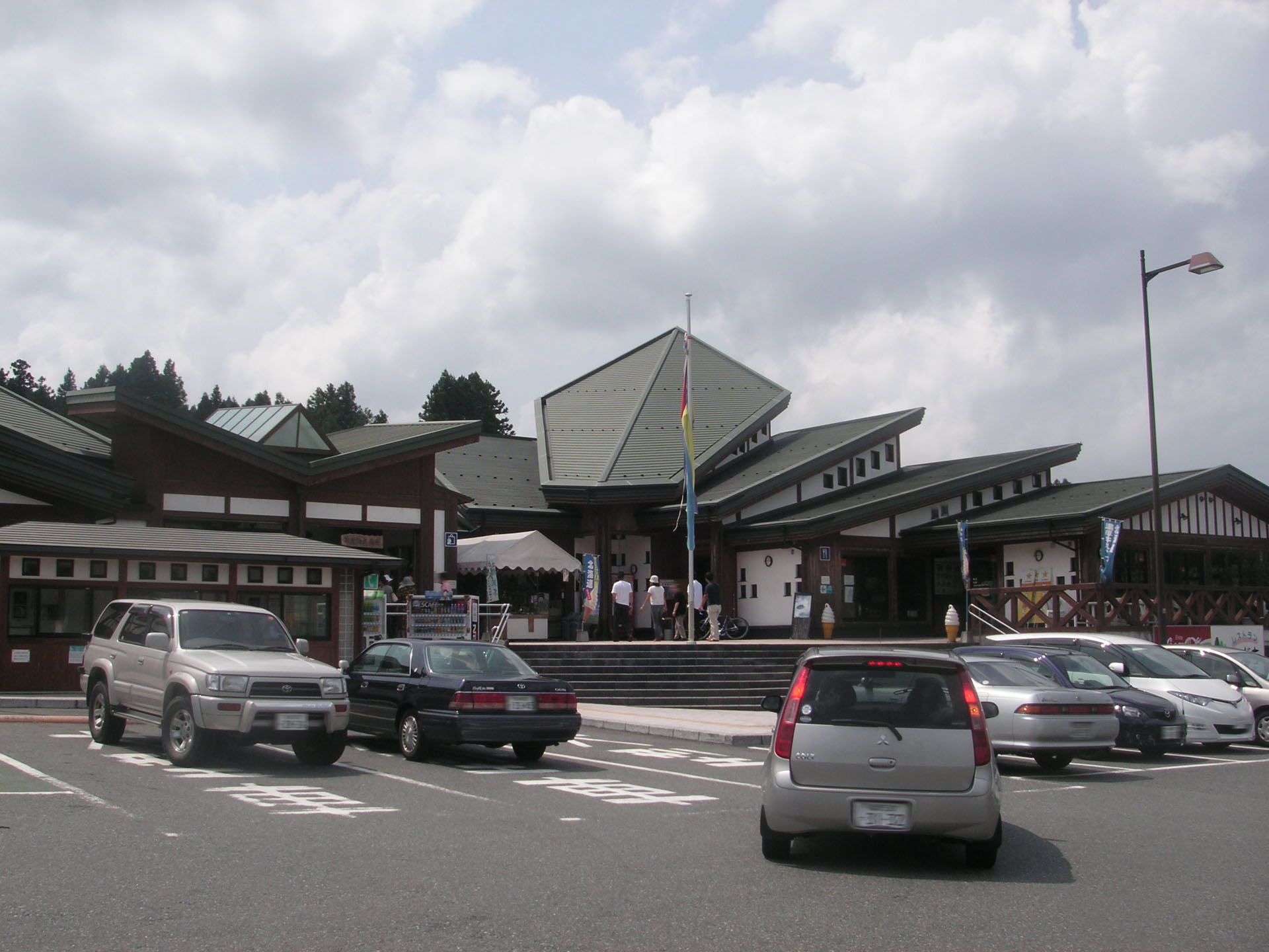
Koishiwara Ware
8.1 km · straight line
 Mukai / CC BY-SA 3.0
History · Oita★★
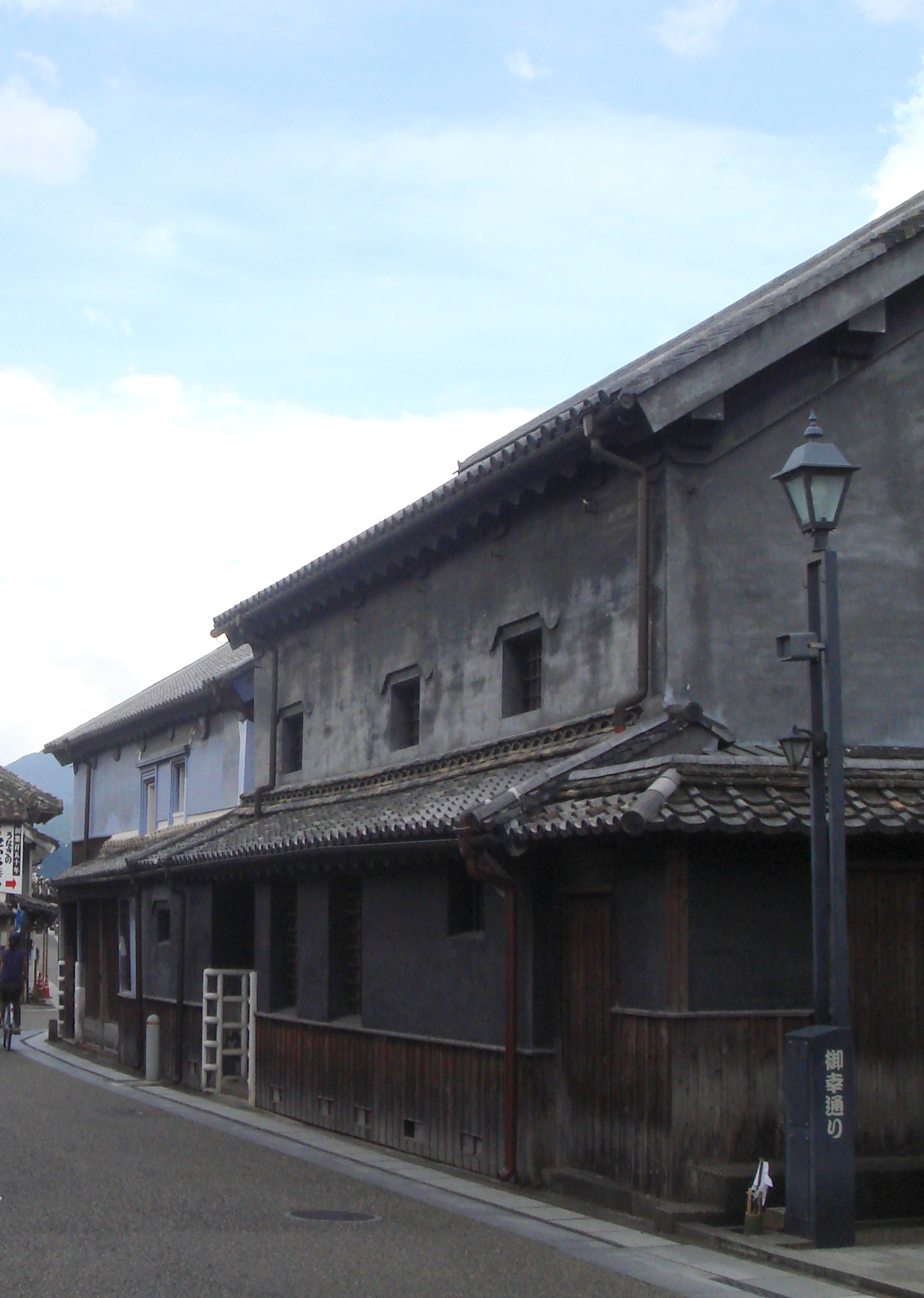
Hita Mameda-machi
17.6 km · straight line
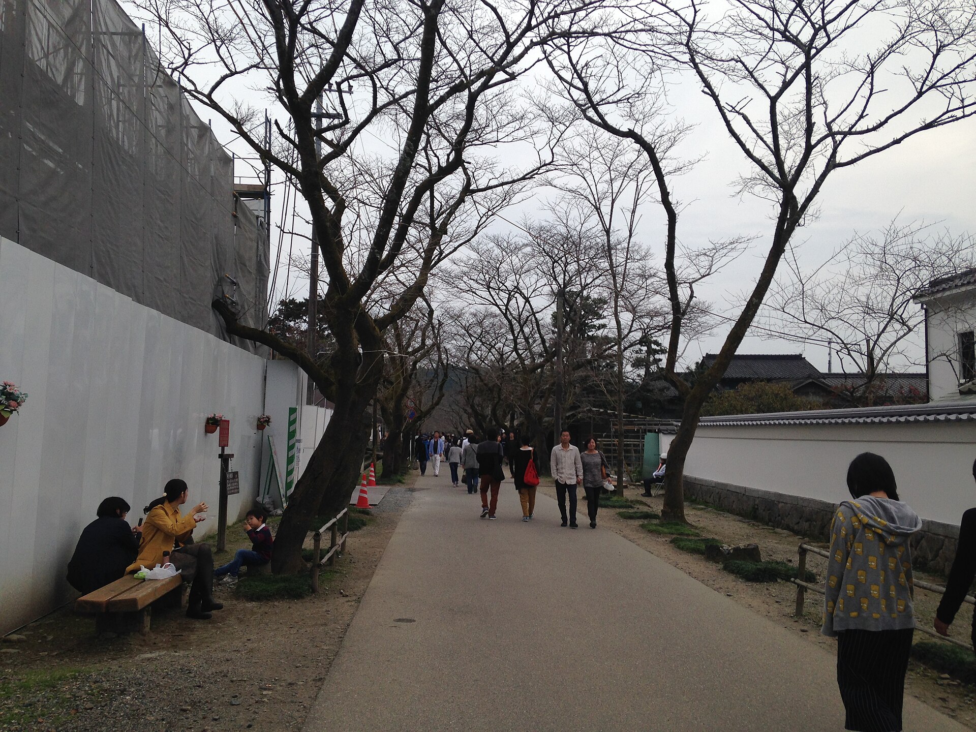 そらみみ (Soramimi) / CC BY-SA 4.0
History · Fukuoka★★
Akizuki Castle Town
20.0 km · straight line
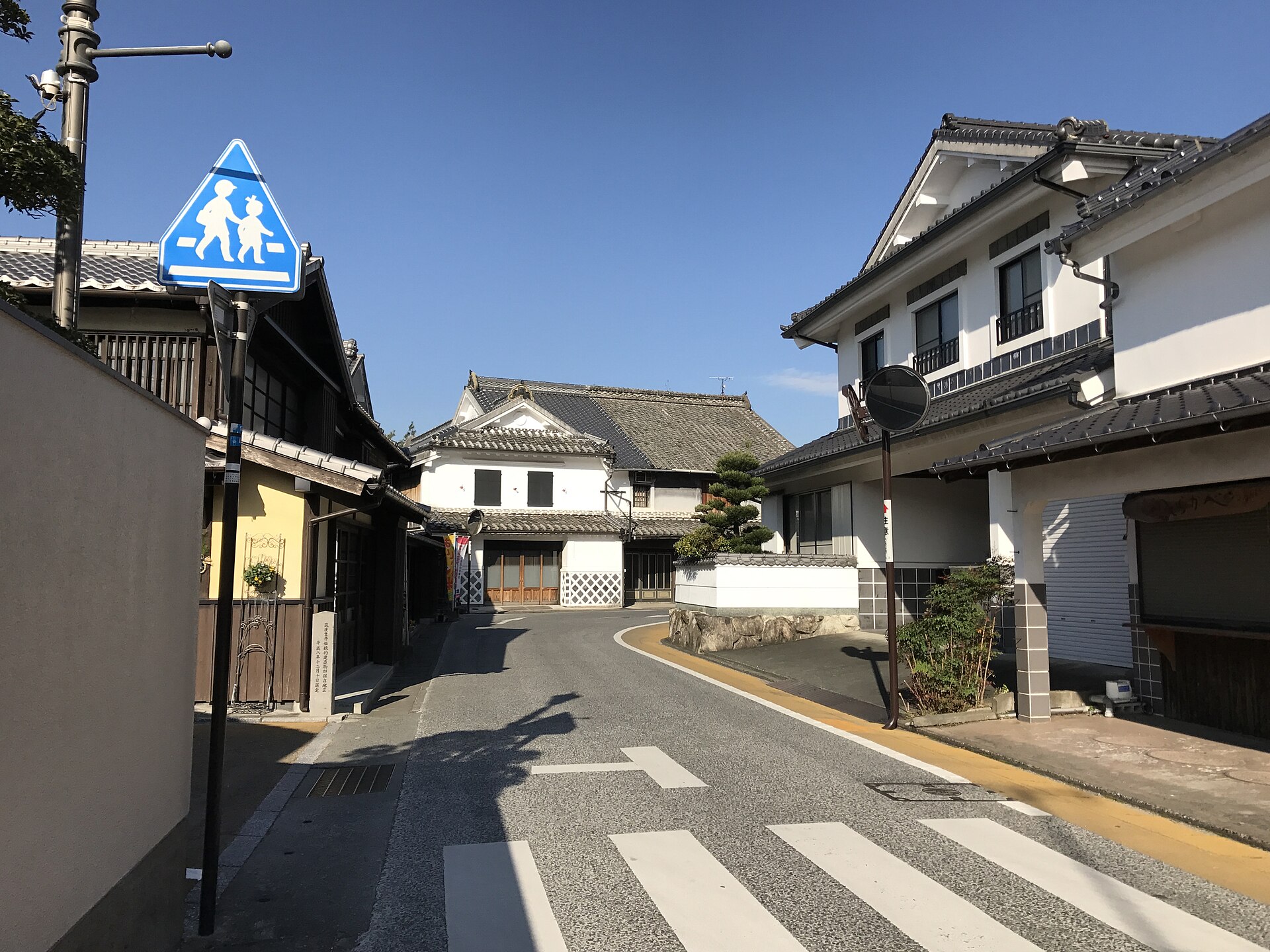 そらみみ / CC BY-SA 4.0
Local life · Fukuoka★★
Chikugo-Yoshii Townscape
21.3 km · straight line
Distances are straight lines on the map, not travel times.