North Okayama · HiruzenNo.803★★★Open in map →
Hiruzen Highlands
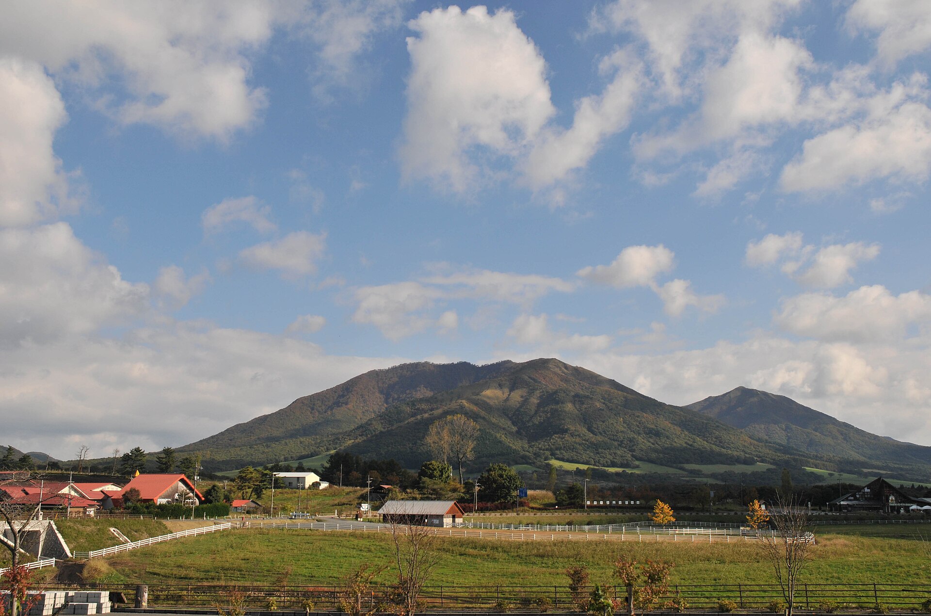
A grazing plateau in northern Okayama, held between three volcanic peaks and the Daisen massif. Jersey dairying, a roadside station and a cycle route across open grassland — inside a national park that protects a worked landscape rather than a wilderness.
- FromChūgoku-Katsuyama Station (JR Kishin Line)
- 1 hr+ by busCommunity bus, or drive
- Hiruzen Highlands
Where it is
14 more notes in Okayama · open the map →What to look for
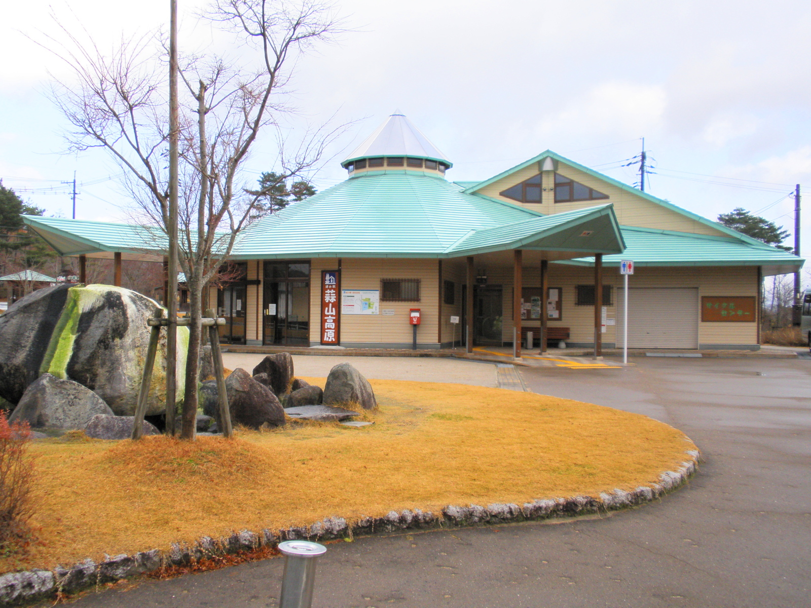
- Michi-no-Eki Hiruzen Kōgenthe roadside station on the highland road, with the produce counter, restaurant and hotel
- The Hiruzen ThreeKami-, Naka- and Shimo-Hiruzen, the skyline the whole plateau sits beneath
- Hiruzen Jersey Landthe dairy farm open to visitors, with the herd grazing in front of the peaks
- The Hiruzen cycling roada prefectural cycle route crossing the grassland away from the through traffic
How to actually get there
- Tsuyama → Chūgoku-Katsuyama Station (JR Kishin Line, northbound).
- Chūgoku-Katsuyama Station → Hiruzen (Maniwa-kun community bus, Hiruzen–Yubara–Kuze route).
- Hiruzen → Michi-no-Eki Hiruzen Kōgen, the roadside station on the highland road.
- Roadside station → Hiruzen Jersey Land and the cycling road, out among the pastures (car or bicycle).
- Maniwa-kun community bus from Chūgoku-Katsuyama
- The Maniwa city community bus is described by the local tourism association as the only public transport from Chūgoku-Katsuyama Station up to Hiruzen, running the Hiruzen–Yubara–Kuze route. It charges a flat fare, carries no change machine on board, and some services are suspended over the New Year period. Treat it as a real option only if the whole day is built around its timetable.
- Back down to the railway
- The same route returns to Chūgoku-Katsuyama and the last bus down leaves early in the day. There is no evening fallback on public transport, so missing it means a taxi over a long rural distance. Anyone who drove in has the easier exit — the plateau roads run straight back down to the Hiruzen interchange.
About the place
Hiruzen sits between 500 and 600 metres above sea level in the north of Okayama, on the far side of the Daisen volcanic group from the Sea of Japan. What covers it is grassland rather than woodland: Jersey cattle graze it, and the open ground is held open by a controlled burn every spring rather than by leaving it alone. Three peaks close the northern skyline — Kami-Hiruzen, Naka-Hiruzen and Shimo-Hiruzen, known together as the Hiruzen Three. The plateau road strings a roadside station, a dairy farm and a prefectural cycle route along its length. All of it lies inside Daisen-Oki National Park.
How to enjoy it
Use the roadside station as the hub and work outward from it. It carries the produce counter, the restaurant and the visitor information in one stop, and it sits on the road everything else on the plateau connects to. Plan around the season rather than the clock: this is a summer refuge from lowland heat, the spring burn blackens the grass for a few weeks, and part of the site shuts over winter. If you are cycling, sort the bike out before you leave the highland road — the distances out to the pastures are longer than they look on a map.
Background & history
Hiruzen was written into Daisen National Park — now Daisen-Oki — when the park was designated on 1 February 1936, which put a farmed grazing landscape rather than a wilderness under national protection. That distinction still governs the place. The grass is burned off every spring, and the environment ministry describes the burn as maintenance: without it the plateau would close over, and the ecosystem the designation exists to protect would go with it. The Jersey dairying and the fried noodles the area is known for both sit on top of that same maintained grassland.
Before you go
- Cash
- The community bus takes a flat fare in cash and has no change machine, so carry coins rather than notes. The roadside station is the dependable stop on the plateau for food, local produce and a toilet break, and it is the one place here that behaves like a service area.
- Good to know
- The roadside station keeps seasonal hours and part of it closes over winter, when this becomes snow country. The spring grass burn is scheduled in advance and the grassland is off limits while it runs. Distances between the plateau's sites are driving distances, not walking ones — do not plan to link them on foot.
- Another way
- The plateau is built around the Hiruzen interchange on the Yonago Expressway, and the roadside station is a short drive from it. Of the airports the tourism association lists, Yonago Kitarō on the Sea of Japan side is the closest to that interchange, which makes a hire car from there the simplest way in.
- After you get off
- Chūgoku-Katsuyama is a small station on the Kishin Line, down in the valley and a long way south of the plateau. There is no walking route from here. The community bus stand outside the station is the only public connection up, and it is the point at which most people decide to hire a car instead.
Nearby notes
 Reggaeman / CC BY-SA 3.0
History · Tottori★★★
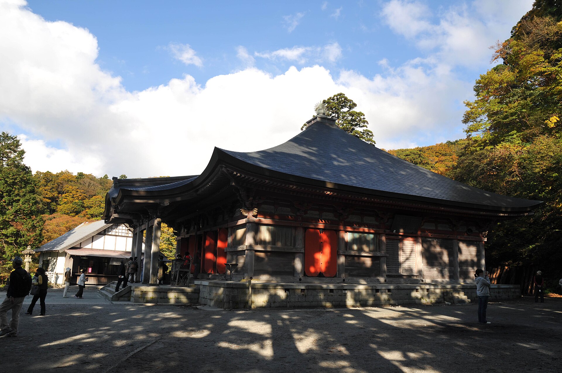
Mount Daisen
16.1 km · straight line
 Saigen Jiro / CC0
Local life · Tottori★★
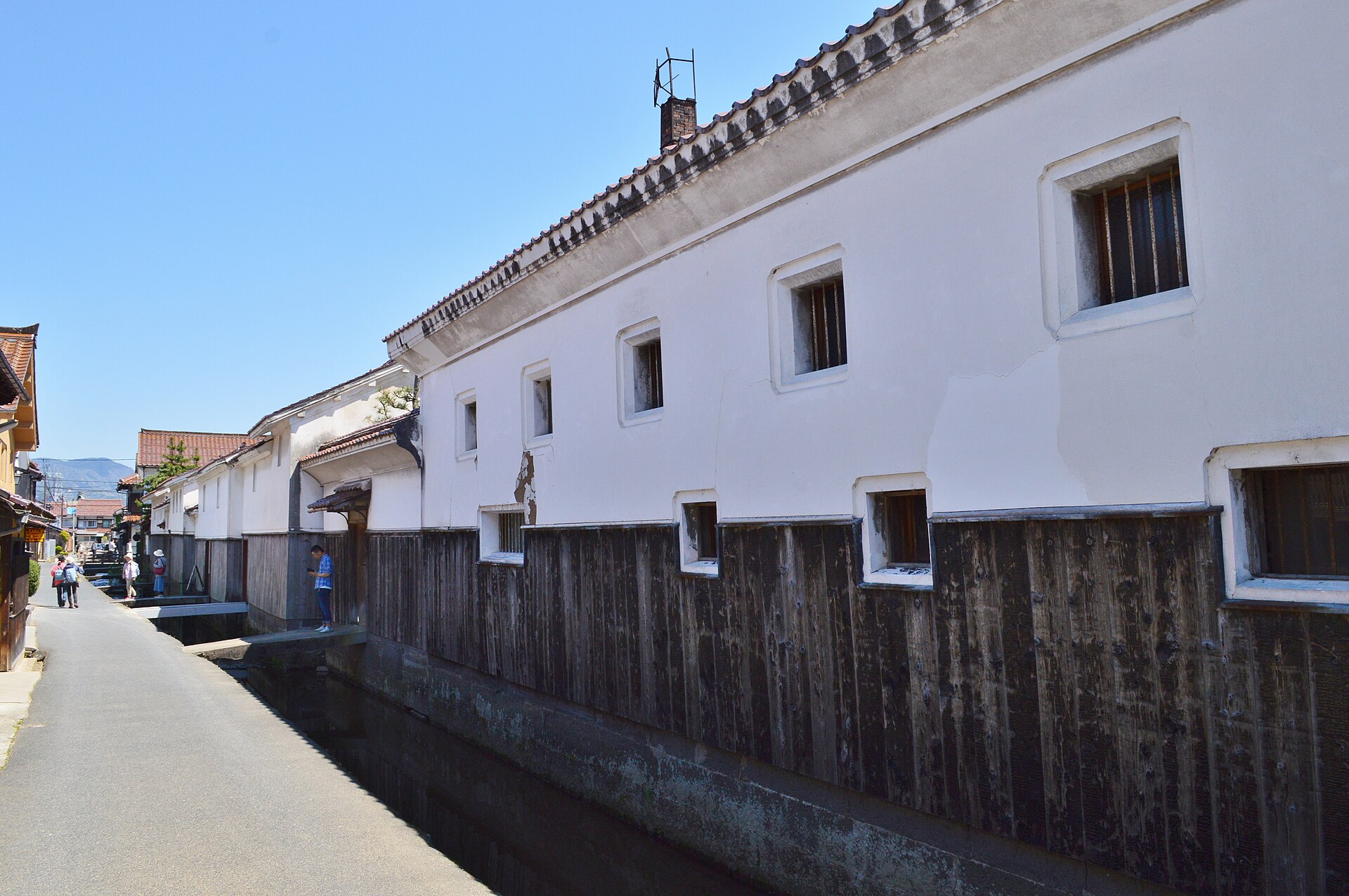
Kurayoshi White-Walled Storehouses
20.8 km · straight line
 David J. Stang / CC BY-SA 4.0
Food · Tottori★★
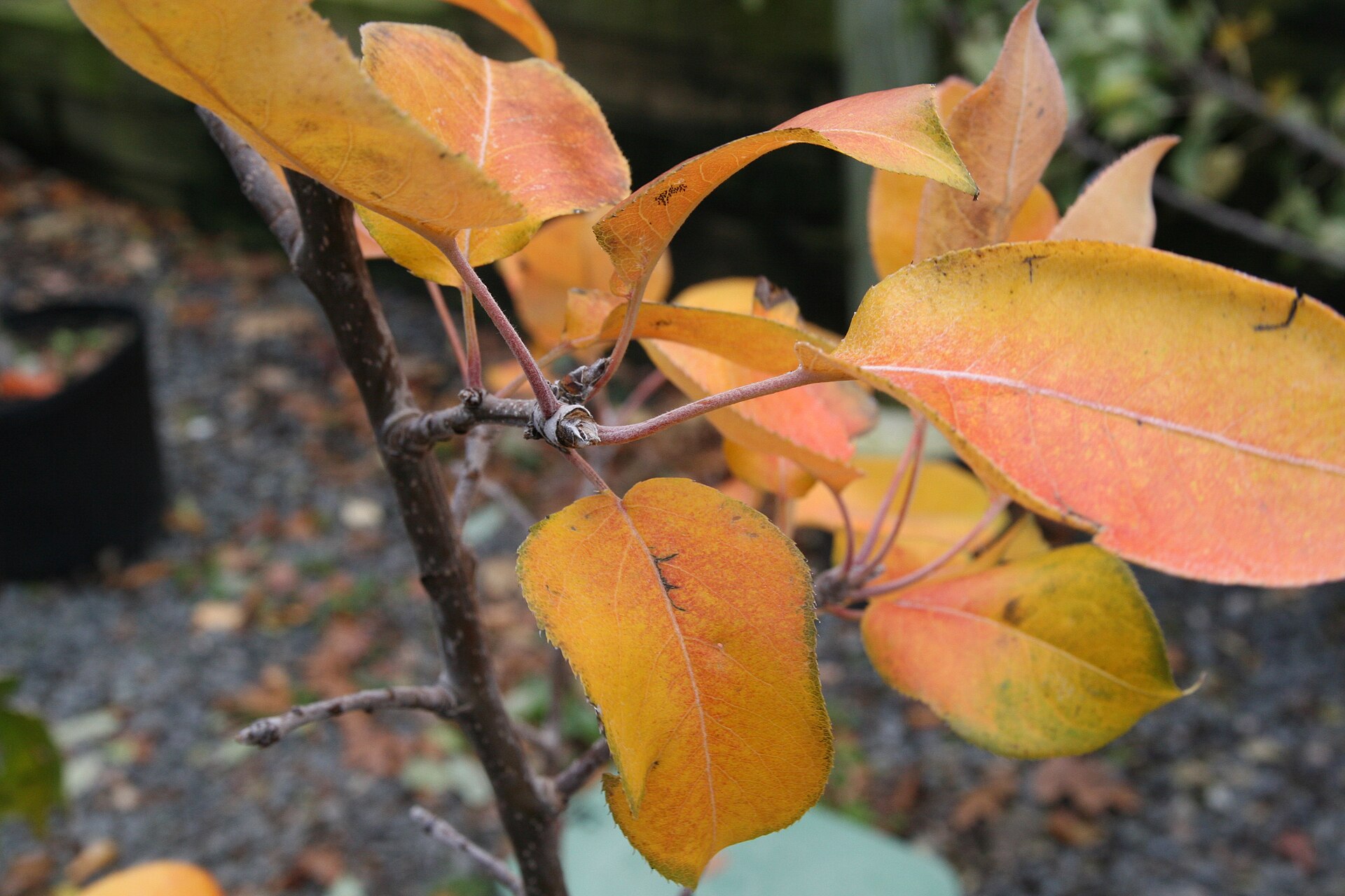
Tottori Nijisseiki Pear
21.6 km · straight line
 Asturio Cantabrio / CC BY-SA 4.0
Local life · Okayama★★
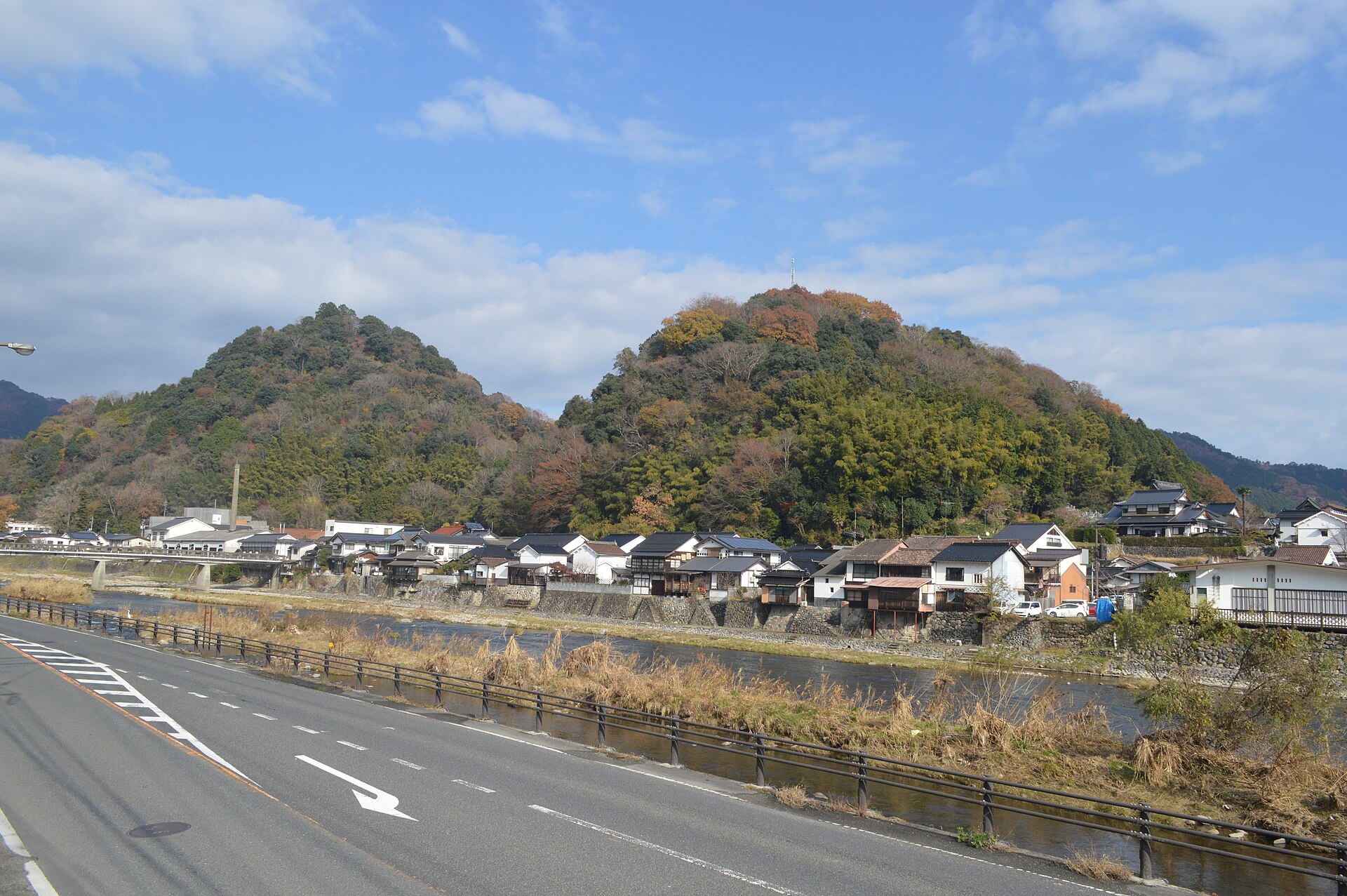
Katsuyama Noren Townscape
23.1 km · straight line
Distances are straight lines on the map, not travel times.