West Oita · YufuinNo.874★★★Open in map →
Lake Kinrin
— The mist pond at the end of Yufuin's main street
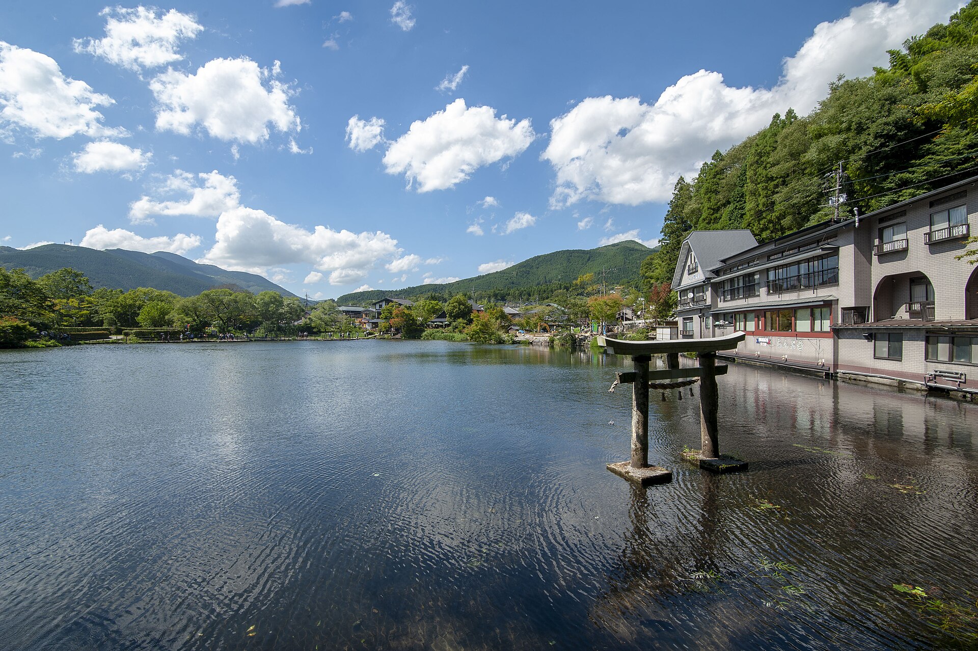
A shallow pond at the far end of Yufuin's main street, fed by cold springs and hot springs at once. In cold weather the mismatch shows as mist lifting off the water before the town wakes up.
- FromYufuin Station (JR Kyudai Main Line)
- ~25 minOn foot from the station
- Lake Kinrin
Where it is
12 more notes in Oita · open the map →What to look for — in walking order
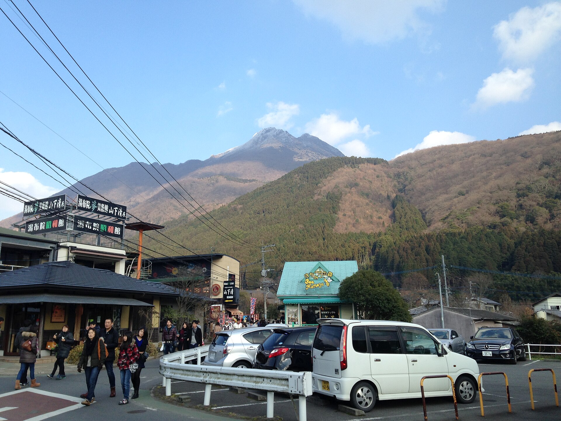
- Yunotsubo-kaidothe shopping street between the station and the lake, thick with food counters
- The Oita River lanea quieter parallel path along the upper river, reached through side alleys
- Tenso Shrinea small shrine standing at the water's edge on the south side of the pond
- Lake Kinrinthe pond itself, shallow and ringed by a path you can walk in one go
- Shitanyua thatched communal bathhouse right on the shore, plain and very old-fashioned
How to actually get there
- Yufuin Station to Shirataki Bridge, straight along Yufumi-dori.
- Shirataki Bridge to the pond along Yunotsubo-kaido.
- Walk the ring path past Tenso Shrine and the bathhouse on the shore.
- Return by the river lane one street south, or the way you came.
- On foot from Yufuin Station
- The lake is about 1.5 km from the station, roughly 25 minutes at a walking pace, straight out along Yufumi-dori and then Yunotsubo-kaido. Longer once the shops are open, because they are the reason most people slow down.
- Back to the station
- The same road works in reverse, or take the river lane one street south for a quieter return. Trains on the Kyudai Main Line are not frequent, so fix the service you want before you set out.
About the place
Kinrin-ko is small enough to walk around before you have finished deciding what to photograph. What makes it unusual is the plumbing underneath. Cold spring water and hot spring water both feed it, and several streams run in, one of them warm, so the pond never matches the air temperature. On cold mornings in autumn and winter the surface gives off mist that hangs over the water and drifts out into the Yufuin basin, which is why the town's own pictures are all shot at dawn. A footpath rings the shore, with a shrine on one side and a bathhouse on the other.
How to enjoy it
Come in autumn or winter and be at the shore around first light, which is when the mist forms and when the ring path is empty. Walk back out along Yunotsubo-kaido afterwards, once the shutters go up, so the day runs quiet first and busy second. Add the river lane on the return for a different line through the same neighbourhood.
Background & history
Before it had a poetic name the pond was Take-n-shita-no-ike in the local dialect, the pond below the peak, because Mount Yufu stands over it. In 1884 a Confucian scholar named Mori Kuso watched the evening sun catch the scales of the fish in it and called it Kinrin-ko, the lake of golden scales. The name held, and the pond has anchored the town's picture of itself ever since, long before the ryokan and the shopping street grew out toward it.
Before you go
- Cash
- Walking round the lake costs nothing. The bathhouse on the shore, the shops along Yunotsubo-kaido and the nearby car parks are the paid parts of the day.
- Good to know
- There is no lighting round the shore after dark. The mist is a cold-weather effect, so a mild morning will simply not produce it, and rain flattens it as well.
- Another way
- Taxis wait outside the station and reach the lake in a few minutes, which is worth the fare in the dark before dawn or in heavy rain.
- After you get off
- From Yufuin Station cross the plaza and follow Yufumi-dori east to Shirataki Bridge; Yunotsubo-kaido runs on from there and ends at the pond.
Nearby notes
 663highland / CC BY 2.5
Onsen · Oita★★★
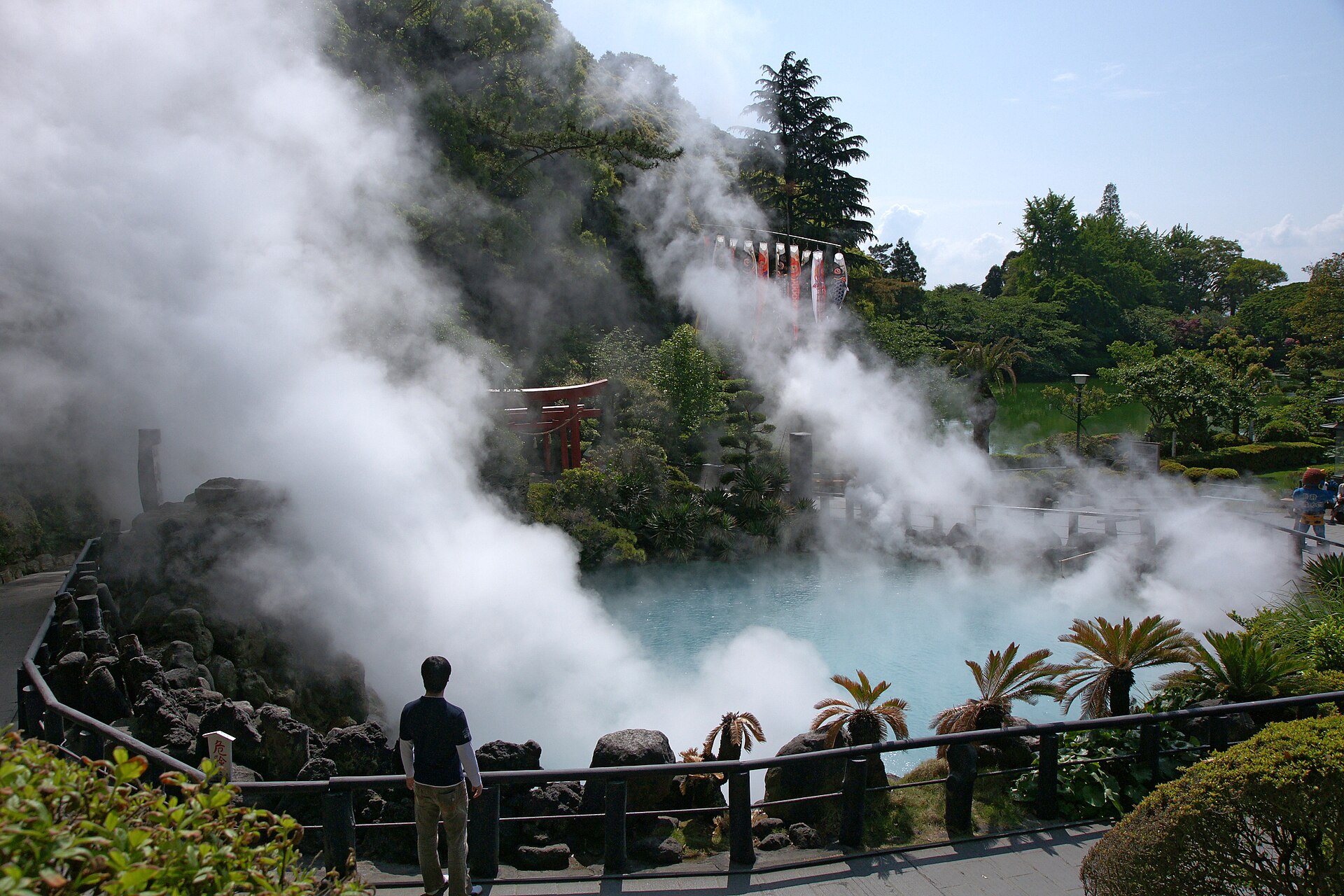
Hells of Beppu
10.8 km · straight line
 漱石の猫 / CC BY-SA 4.0
Food · Oita★★
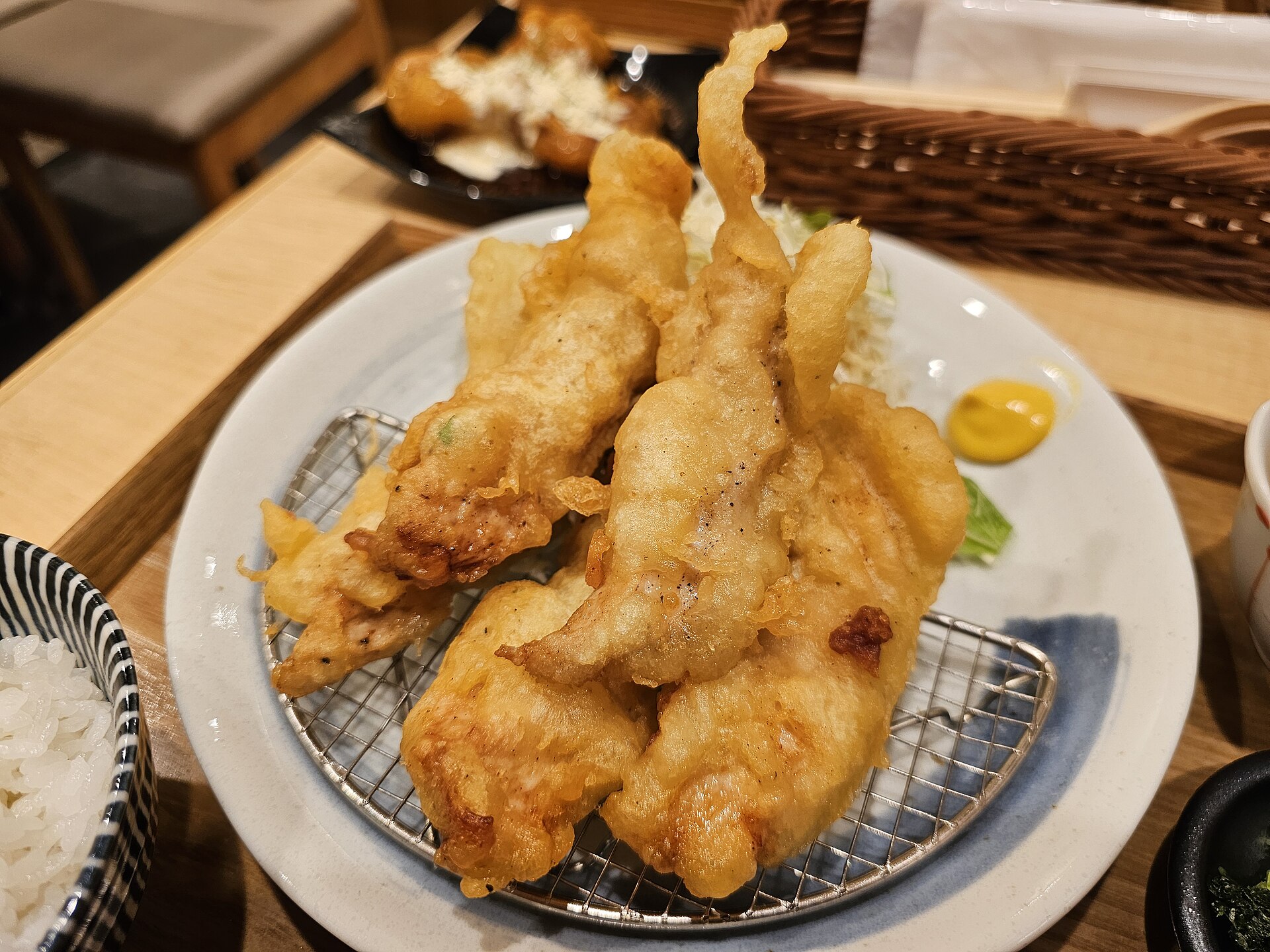
Toriten
12.3 km · straight line
 Kamakura / CC BY-SA 3.0
Nature · Oita★★★
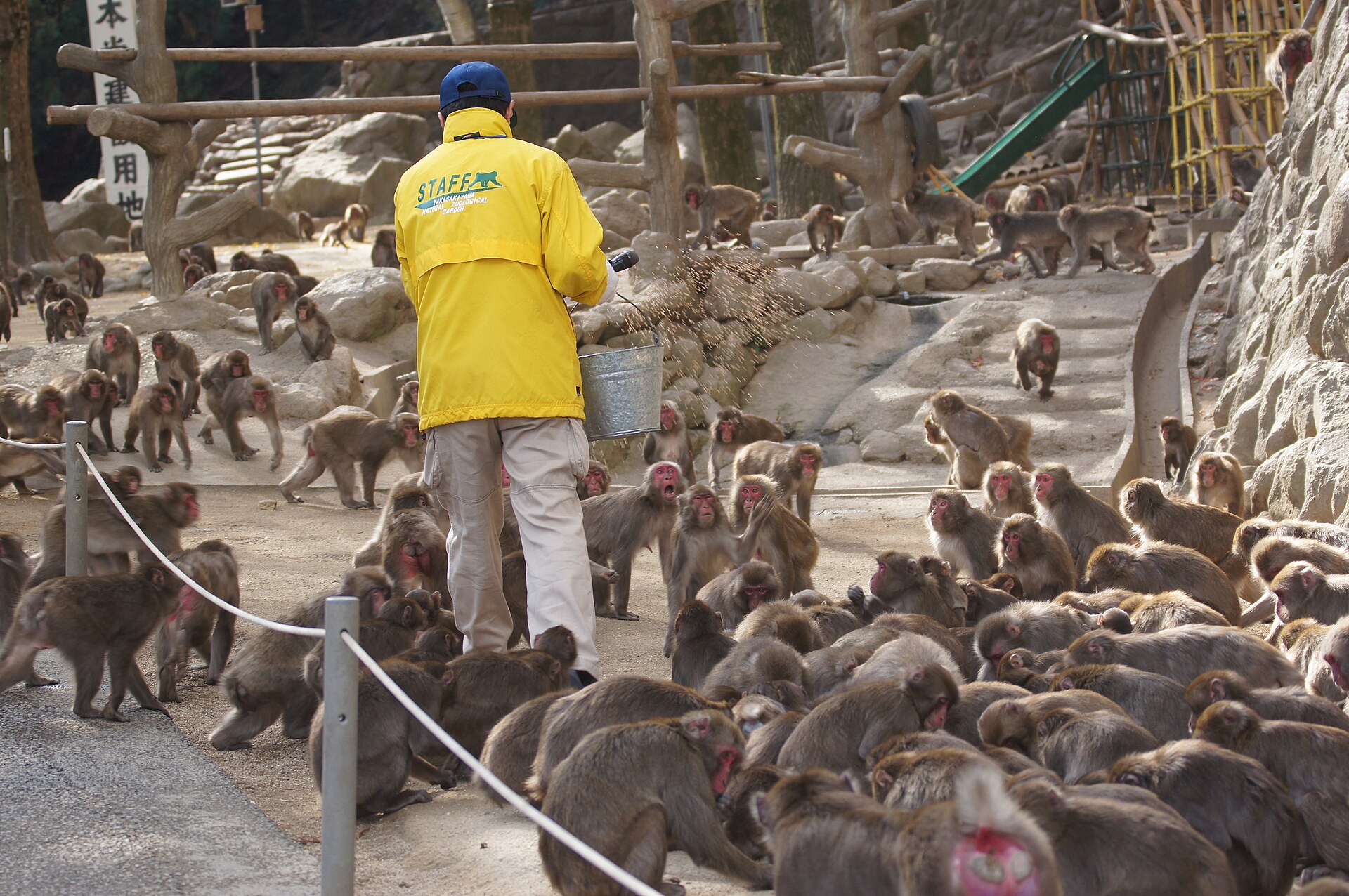
Takasakiyama Natural Zoological Garden
15.2 km · straight line
 TANAKA Juuyoh (田中十洋) / CC BY 2.0
Nature · Oita★★★
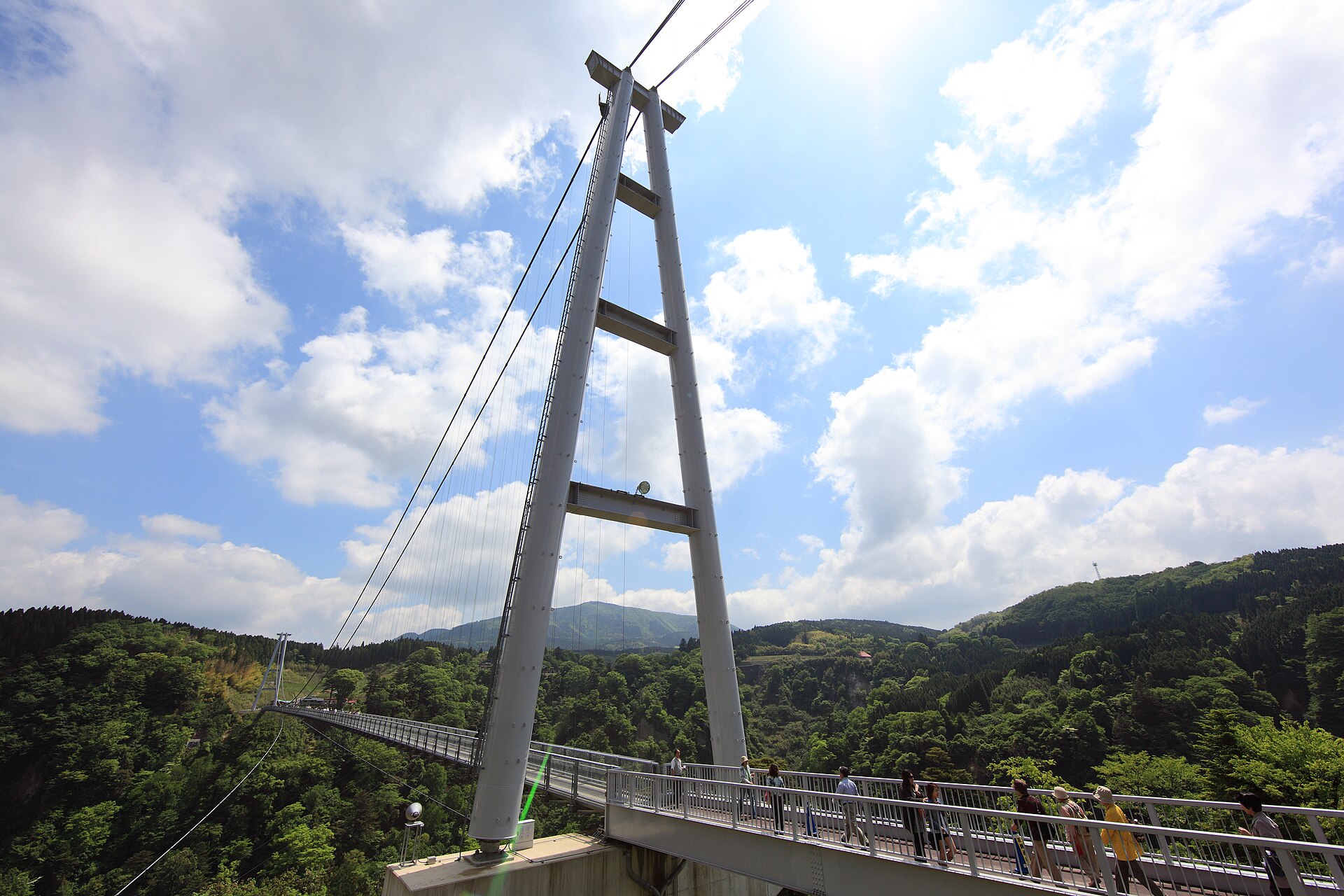
Kokonoe Yume Otsurihashi
16.8 km · straight line
Distances are straight lines on the map, not travel times.