Nikaho · KisakataNo.1261★★Open in map →
Kisakata Kujukushima
— Pine-topped islets standing in rice paddies
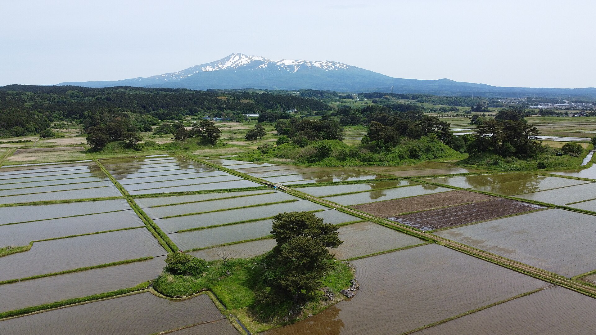
On the coast of Nikaho, the islands of a vanished lagoon now stand in rice paddies as mounds of pine. An earthquake lifted the seabed and turned the water to land. Kanmanji, the temple Basho visited, sits among them.
- FromKisakata Station (JR Uetsu Line)
- ~15 min on footWalk from Kisakata Station
- Kisakata Kujukushima
The sweet spot
This is a national natural monument and a stop on Basho's northern journey, so it is not a hidden place. What visitors tend to miss is that the islands are meant to be approached on foot. Farm roads lead out among them from the temple, and when the paddies are flooded for planting, the look of the old lagoon briefly returns.
Where it is
34 more notes in Akita · open the map →What to look for — in walking order
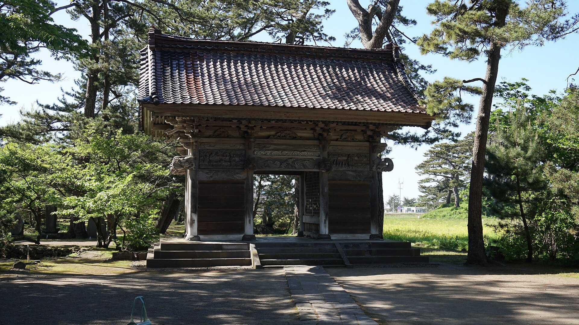
- Kanmanji SanmonEdo-period temple gate holding Nio guardian statues, its roof tiles marked with the imperial chrysanthemum
- Basho statue and haiku stonememorials in the temple grounds to the poet who stopped here on his journey north
- Komadome-jimaone of the islands, just north of the temple gate, used as a viewpoint over the rest
- Farm roads through the paddiespaths between the pine-topped mounds, part walking trail and part working farm road
- Michi-no-Eki Kisakata Nemu-no-Okaroadside station on Route 7 with a sixth-floor observation room looking over the islands
How to actually get there
- Akita Station → Kisakata Station (JR Uetsu Line, south along the coast).
- Kisakata Station → Kanmanji temple gate (walk about 15 min).
- Kanmanji gate → Komadome-jima, then the farm roads among the islands.
- On to the Nemu-no-Oka roadside station for the view from its observation room.
- On foot from Kisakata Station
- Kisakata Station is on the JR Uetsu Line, which runs along the coast between Akita and Sakata. From the station, Kanmanji is about 15 minutes on foot. A taxi or car reaches the islands in around 5 minutes.
- Back to Kisakata Station
- Walk back the same way through the town. Check the timetable at the station before you head out to the islands, so the return train is settled before you start walking.
About the place
Kisakata was once a shallow lagoon on the Sea of Japan coast, scattered with small wooded islands. Its old name, Kujukushima, means ninety-nine islands. The lagoon is gone, but the islands remain. Each now stands in the rice paddies as a low mound crowned with pine. Farm roads run between them, so you can walk among the islands instead of viewing them from outside. Kanmanji temple stands at one corner of the group.
How to enjoy it
Kanmanji is about 15 minutes on foot from Kisakata Station, or around 5 minutes by car. Start at the gate, step out to Komadome-jima, then follow the farm roads among the islands. In the planting season the flooded paddies surround the islands with water again, and before the autumn harvest the same fields turn gold.
Background & history
Debris from a collapse on Mount Chokai, dated to 466 BCE, ran into the sea, and the mounds it left became islands in a shallow lagoon. The poet Matsuo Basho came in 1689 and wrote in Oku no Hosomichi that Matsushima seems to laugh while Kisakata seems to grieve. In 1804 an earthquake raised the ground by about two metres and drained the lagoon for good. The domain turned the old lagoon bed into rice fields; Kakurin, a priest of Kanmanji, fought to keep the islands and died in prison. They were designated a national natural monument in 1934.
Before you go
- Cash
- Kanmanji charges admission; check the current amount on site. The hot-spring bath at the Nemu-no-Oka roadside station charges separately, so carry a little cash.
- Good to know
- The islands stand in working rice fields. Keep to the trails and farm roads and stay off the paddy edges, especially around planting and harvest. Kanmanji closes in the late afternoon.
- Another way
- By car, leave the Nihonkai-Tohoku Expressway at Kanaura IC and head for the Nemu-no-Oka roadside station on Route 7. It has its own car park, and its observation room gives an overview of the islands before you set off on foot.
- After you get off
- From Kisakata Station, head north through the town to the Kanmanji gate. Komadome-jima, one of the islands, stands just north of the gate.
Nearby notes
 Hiroaki Kaneko / CC BY-SA 3.0
Nature · Akita★★
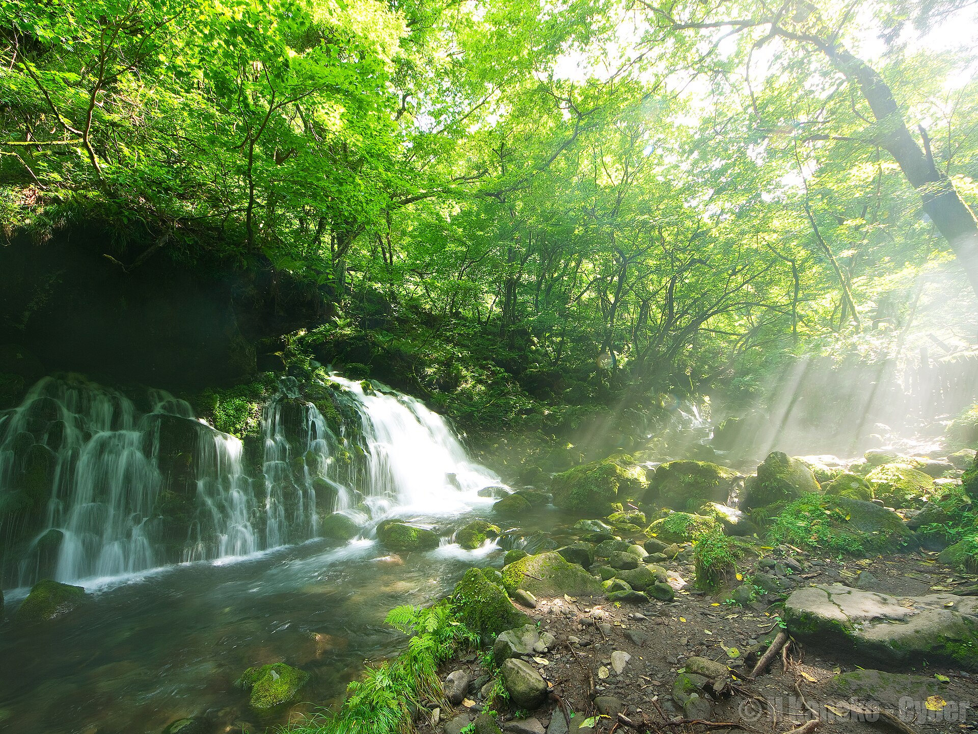
Mototaki Fukuryusui Falls
7.3 km · straight line
 Hiroaki Kaneko / CC BY-SA 3.0
Nature · Yamagata★★
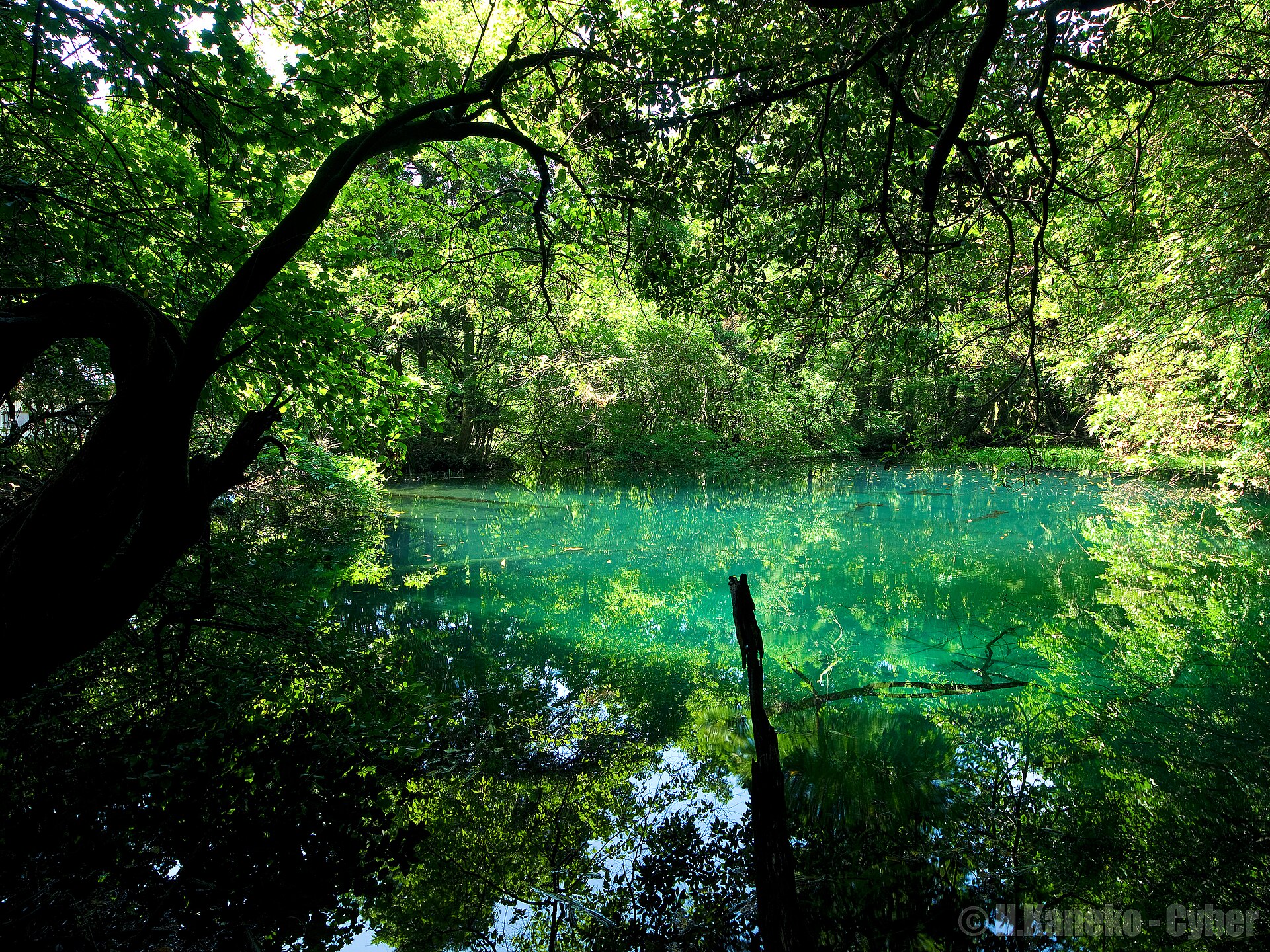
Maruike-sama
16.0 km · straight line
Distances are straight lines on the map, not travel times.