Southwest Akita · Mt ChokaiNo.572★★Open in map →
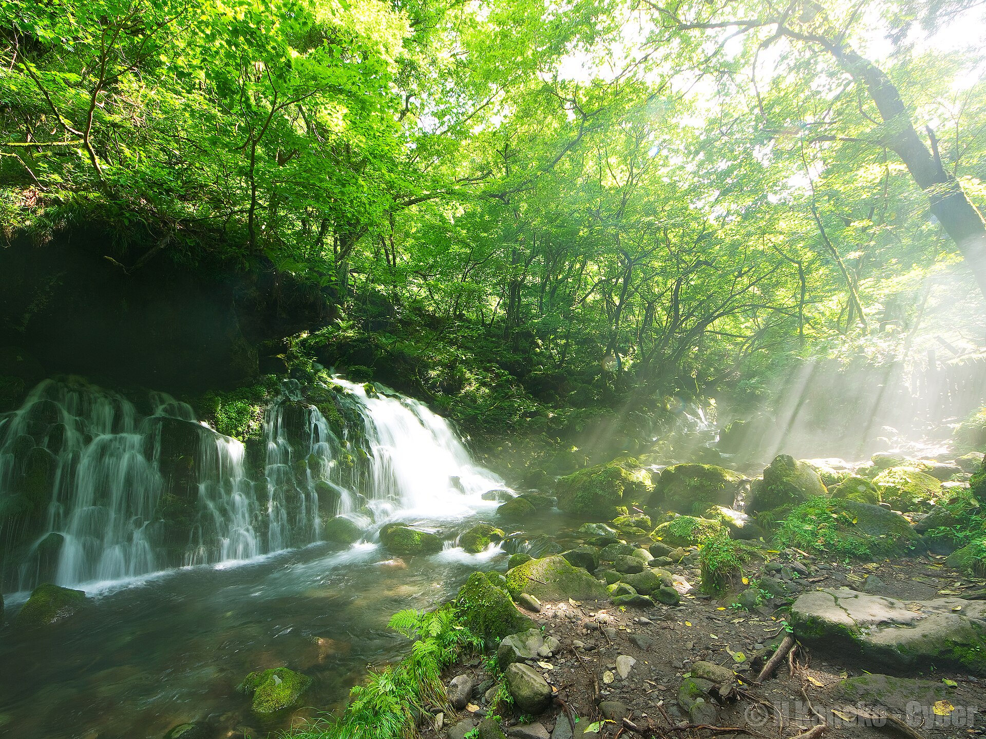
Mototaki Fukuryusui Falls
— Chokai's meltwater seeping from a wall of moss
Snowmelt from Mount Chokai does not reach here as a river. It seeps straight out of a lava wall, spreads into threads over deep moss and drops to the stream below — a spring named among Japan's hundred waters.
- FromKisakata Station (JR Uetsu Line)
- ~20 minCar or taxi from Kisakata
- Mototaki Fukuryusui Falls
The sweet spot
This is not a secret: it carries a national listing and has a signposted car park. What thins the crowds is the shape of the trip. Nothing else stands at the site, so people drive in, walk to the wall and drive out again, and the place is empty in between.
Where it is
34 more notes in Akita · open the map →What to look for — in walking order
- The car park and trailheada signposted car park with toilets, where the footpath into the ravine begins
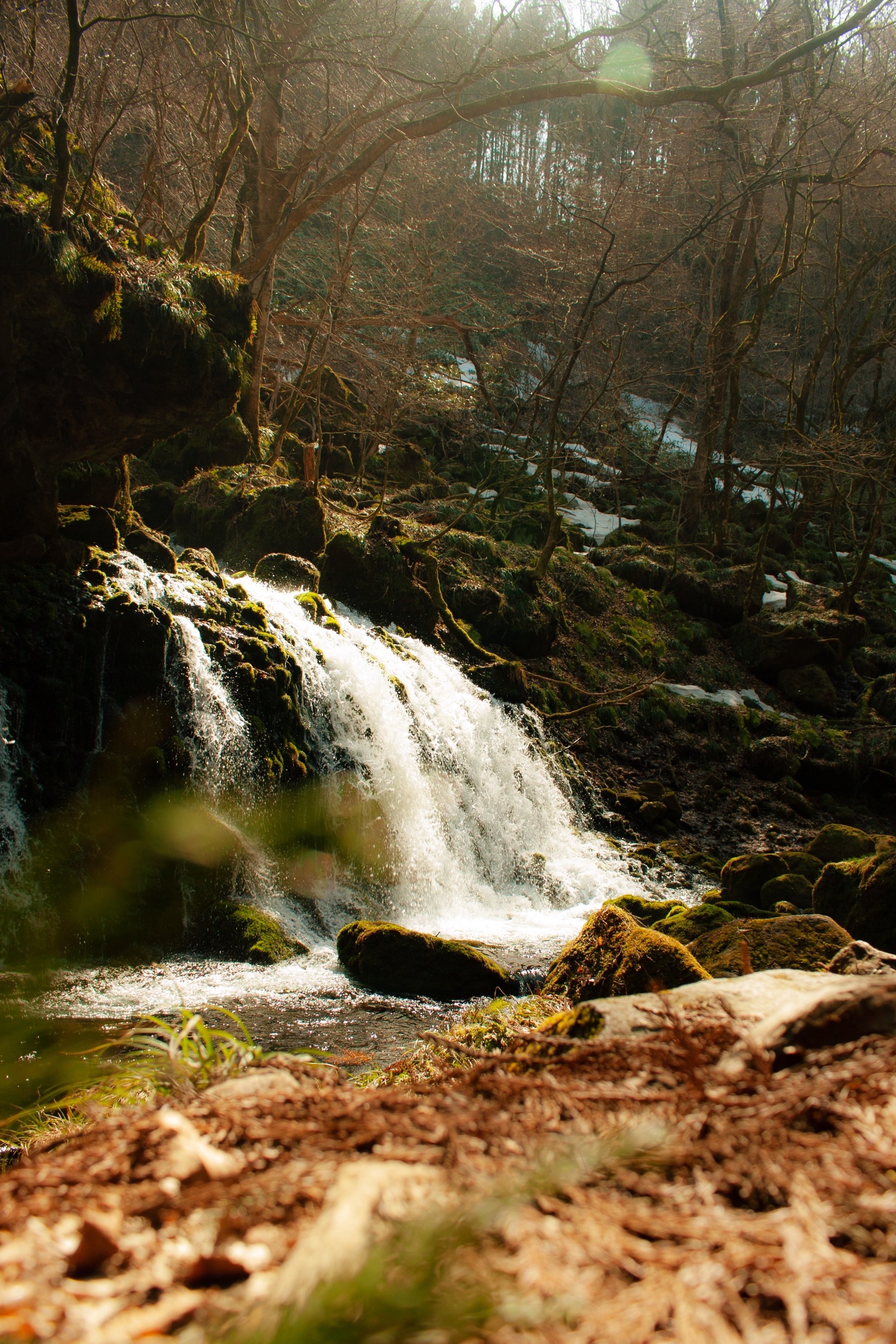
- The mossy lava wallthe toe of an old Chokai lava flow, covered end to end in deep green moss
- Threads of spring waterpale separate lines crossing the moss and bursting into droplets on the rock
- Summer mistcold spring water meeting warm air, wrapping the whole face in a low white haze
How to actually get there
- Kisakata Station → Mototaki car park (car or taxi, ~20 min).
- Car park → the falls, on the footpath running upstream.
- Return the same way; ask the taxi to wait, or book the pickup before you set off.
- Add the Nasso-no-Shirataki falls nearby if you have the car for the day.
- Car or taxi from Kisakata Station
- Kisakata Station →(car or taxi, ~20 min)→ the Mototaki car park, then a footpath in to the falls. Kisakata sits on the JR Uetsu Line with services from Akita and Sakata. Nothing runs direct to the trailhead, so either drive or arrange the taxi for both legs.
- Return to Kisakata Station
- The same road back down to the coast. Uetsu Line services thin out through the evening, so check the departure from Kisakata before you head inland, and keep the taxi company's number if you have not driven yourself.
About the place
Mototaki Fukuryusui is not fed by a stream from above. Rain and snow that fall on Mount Chokai sink into the mountain, travel underground for years, and emerge at the foot of an old lava flow. The water comes out across a rock face about 30 metres wide, and the volume is put at some 50,000 tonnes a day. Because it never runs dry, thick moss covers the wall from end to end, and the water crosses it in pale separate threads before dropping to the streambed. The Ministry of the Environment lists it among the hundred waters of the Heisei era.
How to enjoy it
Come in the warm months and the gap between the spring water and the air throws a fine mist over the wall — the reason most pictures of this place look the way they do. Stay on the path: the geopark asks visitors not to climb onto the mossy rock, and the moss is the whole point of the view. The Kisakata coast is a short drive back down afterwards.
Background & history
The rock at the site is the toe of a lava flow off Mount Chokai, and the spring is what happens where groundwater inside it meets open air. Households nearby have long drawn on this water for daily use, and farms in the surrounding district use it too. The same cold groundwater reaching the coast is credited with the rock oysters this stretch of Akita is known for. Volunteer groups around the mountain plant beech and clear litter to keep the source in condition.
Before you go
- Cash
- There is no ticket office and no shop at the site — a car park and toilets are all that stand there. Carry water, and cash for the taxi, and buy anything else in Kisakata before the drive inland.
- Good to know
- The footpath runs under trees with no lighting, so turn back well before dusk. Spray keeps the rock wet all year and snow lies here through winter. Mototaki itself, the waterfall further upstream, has been closed since a landslip; only the spring below it is open.
- Another way
- By car, leave the Nihonkai-Tohoku Expressway at Kisakata IC and head inland from there. The Nasso-no-Shirataki falls are close enough to take in on the same run.
- After you get off
- From Kisakata Station this is a drive, not a walk. From the car park, follow the footpath upstream and the whole moss wall opens out in front of you.
Nearby notes
 らんで / CC BY 4.0
Nature · Akita★★
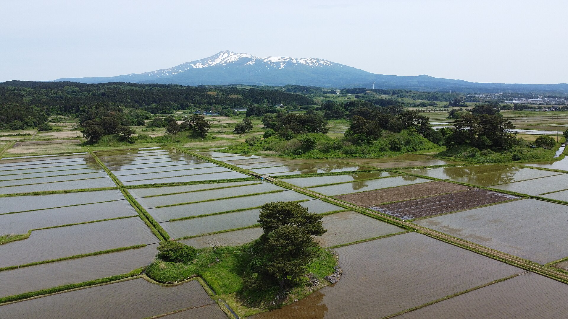
Kisakata Kujukushima
7.3 km · straight line
 Hiroaki Kaneko / CC BY-SA 3.0
Nature · Yamagata★★
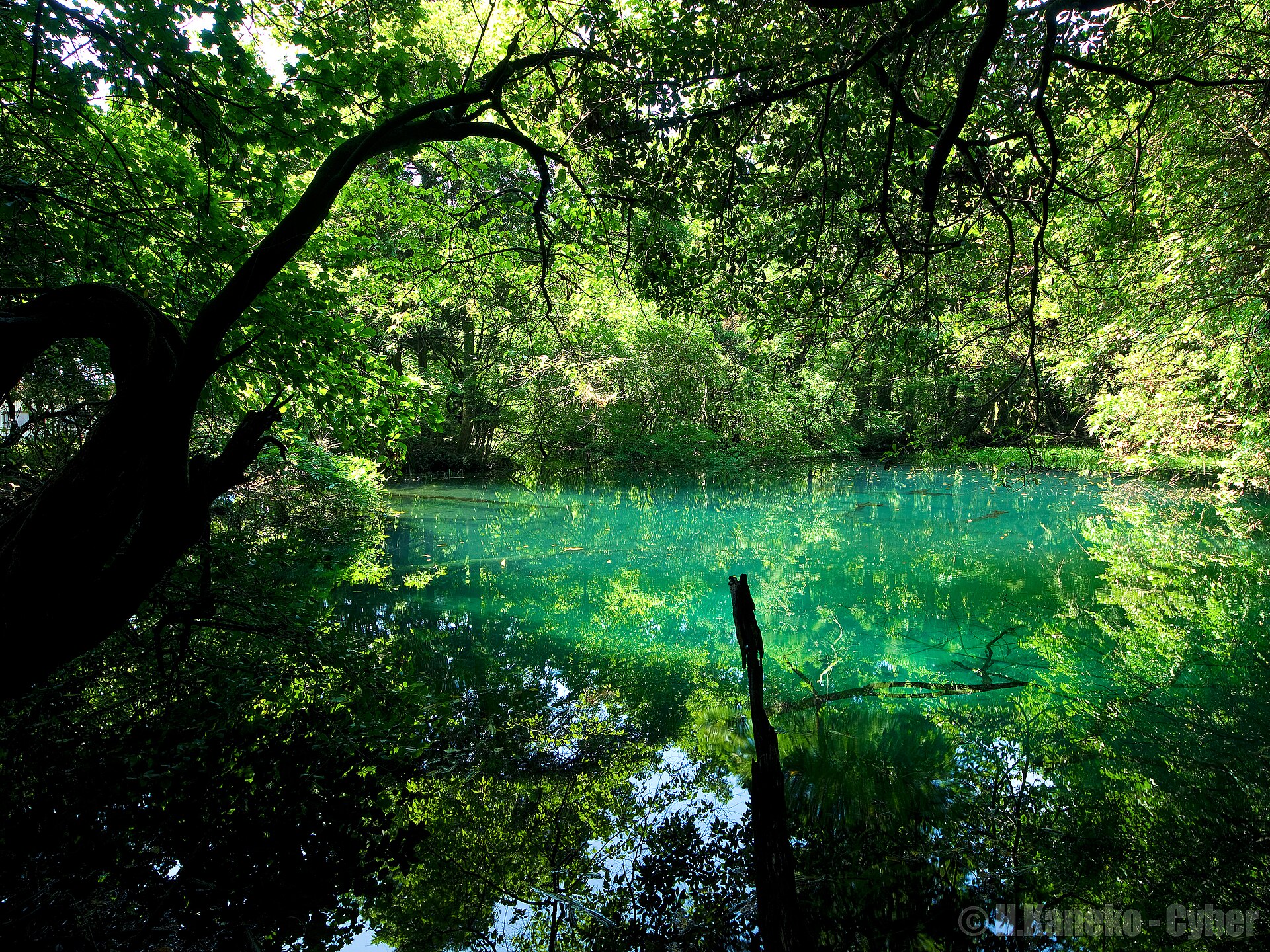
Maruike-sama
11.3 km · straight line
Distances are straight lines on the map, not travel times.