Kobe Nada · Maya foothillsNo.050★Open in map →
Aotanido
— the stone pilgrim path up Mt. Maya
A historic stone-stepped trail along the Aotani ravine on Mt. Maya's south face — one of the original pilgrimage routes to the mountain's former Tenjoji temple.
- FromKobe-Sannomiya Stn
- ~30 minbus (several per hour)
- Get off atAotani bus stop (Kobe City Bus 2)
- From there
- Aotanido
The sweet spot
The trail has almost no English signage, and it does not appear in the popular Kobe night-view day trips, which send visitors straight to the cablecar. Reaching it takes a city bus plus a climb on foot, so most tourists skip it. Local hikers know it as the quiet path running parallel to the tourist ride.
Where it is
30 more notes in Hyogo · open the map →What to look for — in walking order
- Myokoin temple & the horse-headed Kannona Tendai temple near the trailhead, said to hold Japan's largest bronze horse-headed Kannon, roughly six meters tall
- Shizuka-en tea gardendescribed as the only tea garden in Kobe, where cultivation in the Aotani valley was revived in 1976
- Fudo Waterfalla small sacred waterfall where the paved path gives way to steeper stone steps
- Mt. Maya History Parkthe site of the former Tenjoji, lost to fire in 1976; its surviving Nio gate still stands
How to actually get there
- Kobe-Sannomiya Station to Aotani stop (Kobe City Bus 2, ~15 min)
- Aotani stop to the trailhead by Myokoin (walk uphill)
- Trailhead up the Aotani ravine to the summit ridge (on foot, climb)
- Summit down to the base (Maya Viewline cablecar + ropeway, ~15-25 min)
- Kobe City Bus 2 + walk
- From Kobe-Sannomiya (Chikatetsu Sannomiya-ekimae stop), take Kobe City Bus route 2 (bound for Hankyu Rokko) to the Aotani stop, about 15 min. The trailhead, by Myokoin temple, is about 10 minutes uphill on foot. Total about 30 min including the walk. Route 2 runs several times an hour in the daytime, but check the day's timetable before you leave.
- Return by cablecar, or the same bus
- To ride down, use the Maya Viewline cablecar and ropeway from the summit. It is closed on Tuesdays and stops in the early evening, so check the day's last-ride time posted at the station when you arrive. The cablecar base is served by bus 18 (Maya-Cable-shita stop) back to Sannomiya. To go back the way you came, walk down to the Aotani stop and take bus 2 to Sannomiya; check the last-bus times posted at the stop.
About the place
The Aotanido trail climbs the wooded Aotani ravine on the southern slope of Mt. Maya, which rises above Kobe's Nada and Chuo wards. It is one of the historic paths that pilgrims once walked to reach the mountain's old Tenjoji temple, and it still runs beside the modern Maya cablecar and ropeway. The lower stretch is paved and gently shaded; past Fudo Waterfall the surface turns to earth and stone steps, climbing more steeply toward the summit ridge. Along the way the trail passes a hillside tea garden and a large statue of the horse-headed Kannon, stitching together several distinct pieces of the mountain's history in one short walk.
How to enjoy it
Walk up the Aotanido from the trailhead and ride the cablecar and ropeway down from the summit — the climb is on foot and the return is easy. Wear shoes with grip; the stone steps past Fudo Waterfall can be damp. If you plan to ride down, confirm that the Maya Viewline is running — it is closed on Tuesdays.
Background & history
By tradition, Tenjoji temple on Mt. Maya was founded in the 7th century, and the mountain grew into a pilgrimage destination, with routes like the Aotanido carrying worshippers on foot. The Maya cablecar opened in 1925 and today connects with a ropeway to the summit. The old Tenjoji hall was lost to an arson fire in 1976; only its Nio gate survived. The temple was rebuilt about a kilometer to the north, and the former precinct is now preserved as Mt. Maya History Park at the top of the trail.
Before you go
- Cash
- Kobe City buses take IC cards or cash; the flat fare is about 210 yen. Carry a few coins as a backup.
- Good to know
- The stone steps are wet and mossy, so wear shoes with grip and avoid the trail on rainy days.
- Another way
- If you are tired, ride the cablecar up and walk only the top section down.
- After you get off
- From the Aotani bus stop, walk uphill along the Aotani stream; the signed trailhead is beside Myokoin temple and its large horse-headed Kannon statue.
Nearby notes
 Mass Ave 975 / CC BY-SA 3.0
Nature · Hyogo★
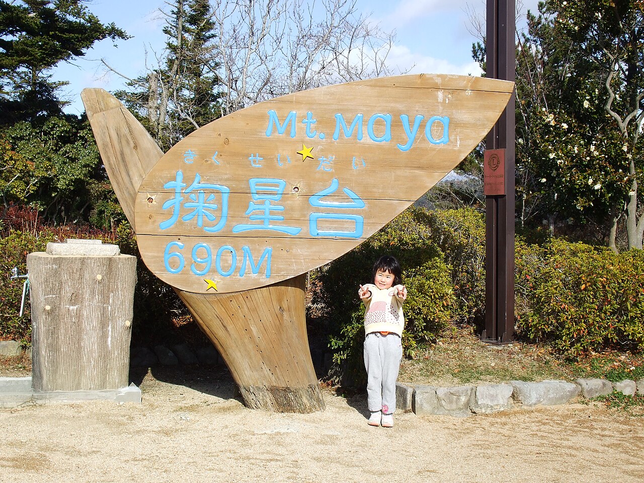
Kikuseidai on Mount Maya
1.1 km · straight line
 Daniel Gerhard / CC BY-SA 3.0
Nature · Hyogo★★★
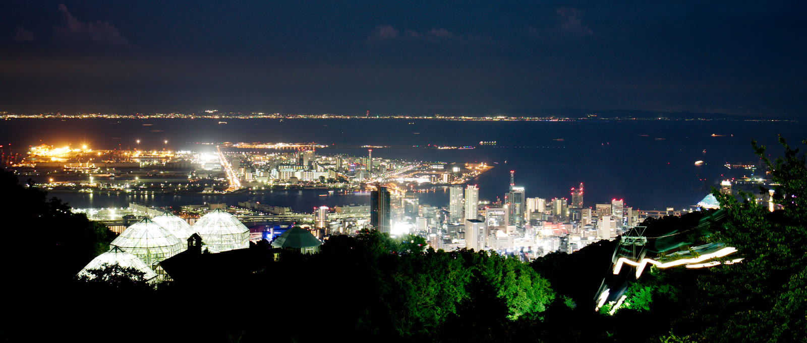
Nunobiki Herb Gardens
2.5 km · straight line
 そらみみ / CC BY-SA 4.0
Nature · Hyogo★★★
Mount Rokko
3.4 km · straight line
 663highland / CC BY 2.5
Local life · Hyogo★★
Kitano Ijinkan
3.7 km · straight line
Distances are straight lines on the map, not travel times.