Shimane · MihonosekiNo.820★★Open in map →
Aoishidatami Street
— The blue stone approach at Mihonoseki
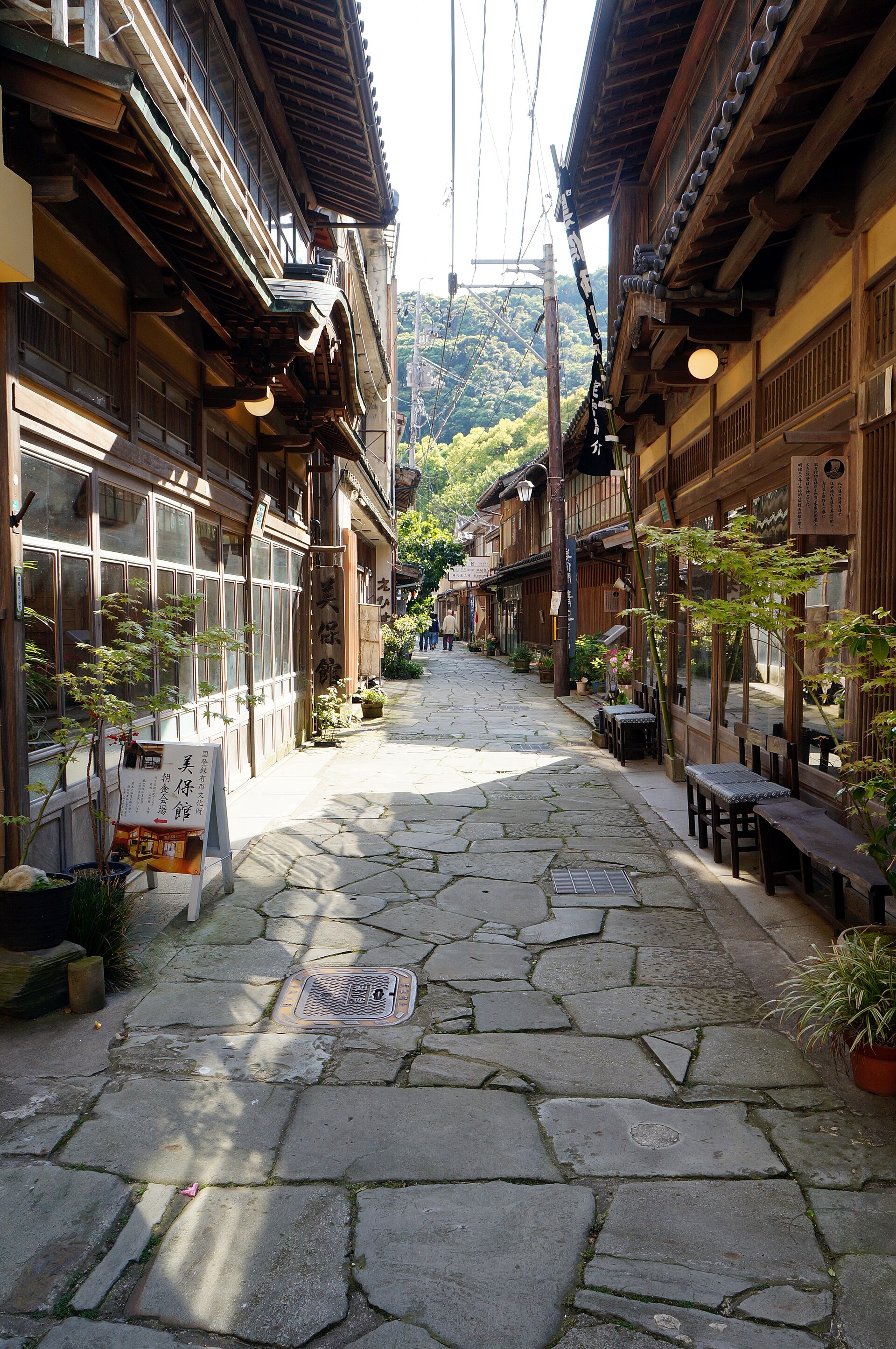
A paved lane in the port town of Mihonoseki, running from Miho Shrine to the temple at the far end. The slabs are tuff carried up from the beaches nearby, and they deepen to blue once the rain has wetted them.
- FromMatsue Station
- ~80 minBus, one change
- Get off atMihonoseki bus stop (Mihonoseki community bus)
- From there
- Aoishidatami Street
The sweet spot
Mihonoseki is not hidden — the shrine is well known and coaches come to it. The lane behind it is a different matter. It is a residential street with no gate, no ticket and no signposted route, so most visits end at the shrine and turn back. The other thing that keeps it quiet is the weather: the stones are at their best in rain, which is exactly when tour traffic thins out.
Where it is
14 more notes in Shimane · open the map →What to look for — in walking order
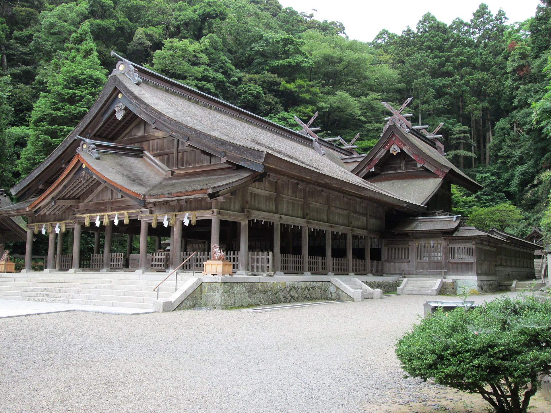
- Miho Shrinethe shrine at the head of the lane, where the paving begins a few steps inside the torii
- The Echizen stone stretchthe section in front of the shrine, laid with stone brought in by ship from Echizen
- The tuff pavingthe long run of slabs carried up from beaches nearby, the largest about 80 centimetres across
- The old inn frontageswooden fronts along the lane from the days of shrine traffic and coastal shipping
- Bukkokujithe temple at the far end, where the paved approach stops
How to actually get there
- Matsue Station → Mihonoseki (Bappara) Bus Terminal (Ichibata bus, about 45 min).
- Change to the Mihonoseki community bus and ride to Mihonoseki by the harbour (about 30 min).
- Walk to Miho Shrine, pass the torii and turn right onto the paving.
- Follow the lane to Bukkokuji at the far end, then walk it back the other way.
- Ichibata bus, then the community bus
- Matsue Station →(Ichibata bus, about 45 min)→ Mihonoseki (Bappara) Bus Terminal → change to the Mihonoseki community bus (about 30 min)→ Mihonoseki, the stop by the harbour. Roughly 80 minutes in all. Both legs are infrequent, so confirm the connection before you set out.
- Return from Mihonoseki
- The same pair of buses runs back through the terminal at Bappara, and the community bus finishes early in the evening. Fix your return before you start walking the lane. If the connection has gone, the community bus toward Sakaiminato is the other way out, changing at the Ui ferry landing for the JR Sakai Line.
About the place
Mihonoseki is a port town on the coast northeast of Matsue. In the Edo period it was a call on the western sea route of the kitamaebune traders, and the town behind the quay grew on that traffic and on pilgrims heading for Miho Shrine. Aoishidatami-dori is what remains of the approach they walked. Pass through the shrine torii, turn right, and the paving starts: the stretch by the shrine is Echizen stone shipped in, while the long run beyond it is tuff carried up from beaches nearby. The slabs follow no single shape, some near square and some oblong, and the largest are about 80 centimetres across.
How to enjoy it
Go when it is wet. The colour that gives the lane its name only comes up once the stones are soaked, so rain is the condition to aim for rather than to avoid. Walk it from the shrine end, which is the order the pilgrims took, and leave time to double back — the lane is short, and it reads differently in the other direction.
Background & history
The paving is a remnant of the Edo-period approach between Miho Shrine and Bukkokuji, the temple at the other end. Mihonoseki had long been a harbour where ships waited out the wind, and under the kitamaebune western route it became a port of call, with shipping agents and inns along the water. The lane behind the quay carried the trade and the shrine traffic together, which is why it was paved at all. Inns and shops for pilgrims stood along it, and the frontages left today still hold the line of that street.
Before you go
- Cash
- The lane is a public street and costs nothing to walk. The buses are small local services, so carry coins and small notes rather than relying on a card. There is no ticket office anywhere along the paving.
- Good to know
- The stones are uneven and slick when wet, which is also when they look best, so wear something with grip. This is Sea-of-Japan weather, and the harbour front takes the wind straight off the water in winter.
- Another way
- From the Tottori side, take the JR Sakai Line to Sakaiminato and pick up the Mihonoseki community bus, changing at the Ui ferry landing. Coming from Yonago, those two short legs beat the run out from Matsue.
- After you get off
- The community bus sets down by the harbour at Mihonoseki. Walk the quay to Miho Shrine, step through the torii and turn right — the paving begins a few paces in.
Nearby notes
 Totti / CC BY-SA 4.0
Food · Tottori★★
Matsuba Snow Crab
5.8 km · straight line
 Aimaimyi / CC BY-SA 3.0
Culture · Tottori★★★
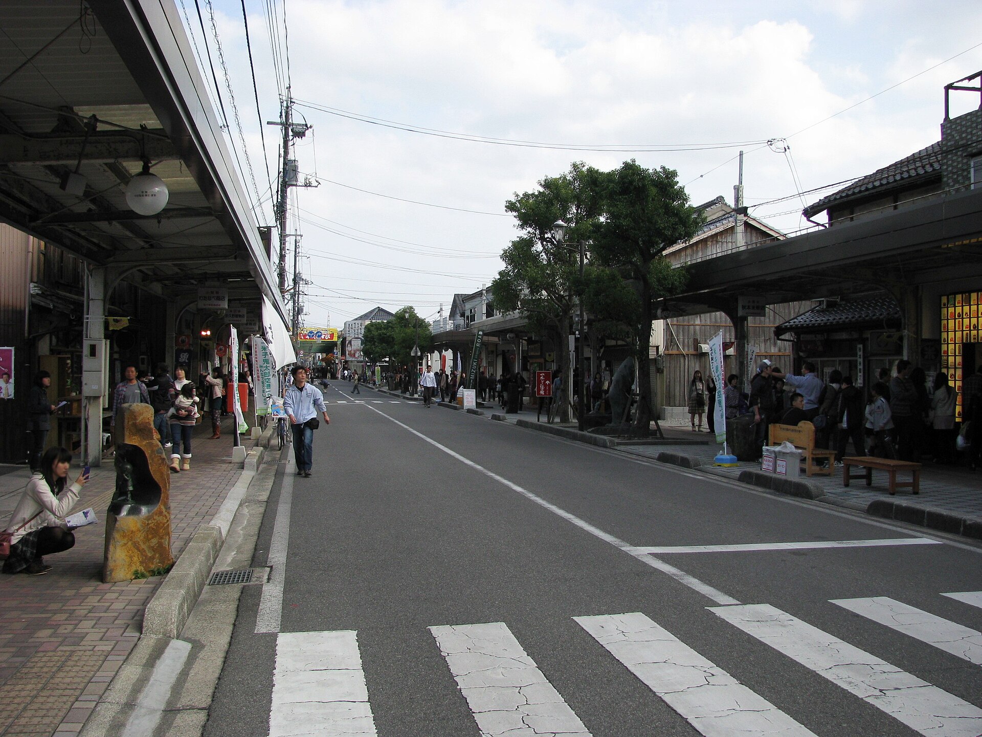
Mizuki Shigeru Road
7.1 km · straight line
 tanaka / CC BY-SA 4.0
Nature · Shimane★★★
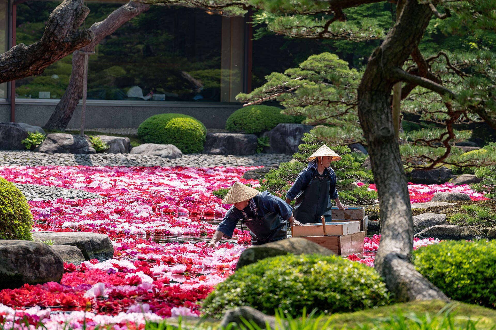
Yushien Garden
14.4 km · straight line
 Suicasmo / CC BY-SA 4.0
Culture · Shimane★★★
Adachi Museum of Art
22.7 km · straight line
Distances are straight lines on the map, not travel times.