Hokkaido · HakodateNo.712★★★Open in map →
Mount Hakodate
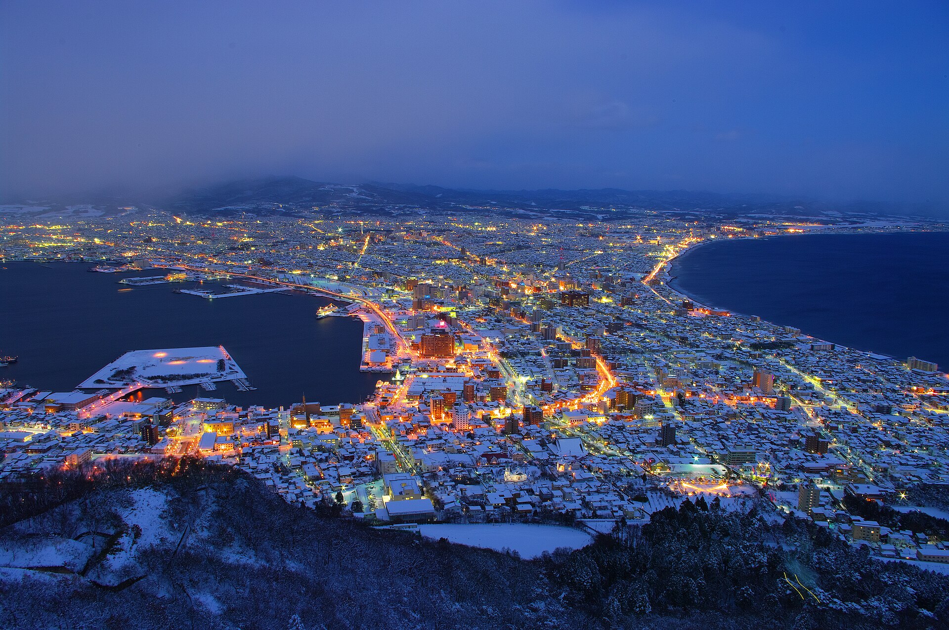
— Hakodate's night view from the summit
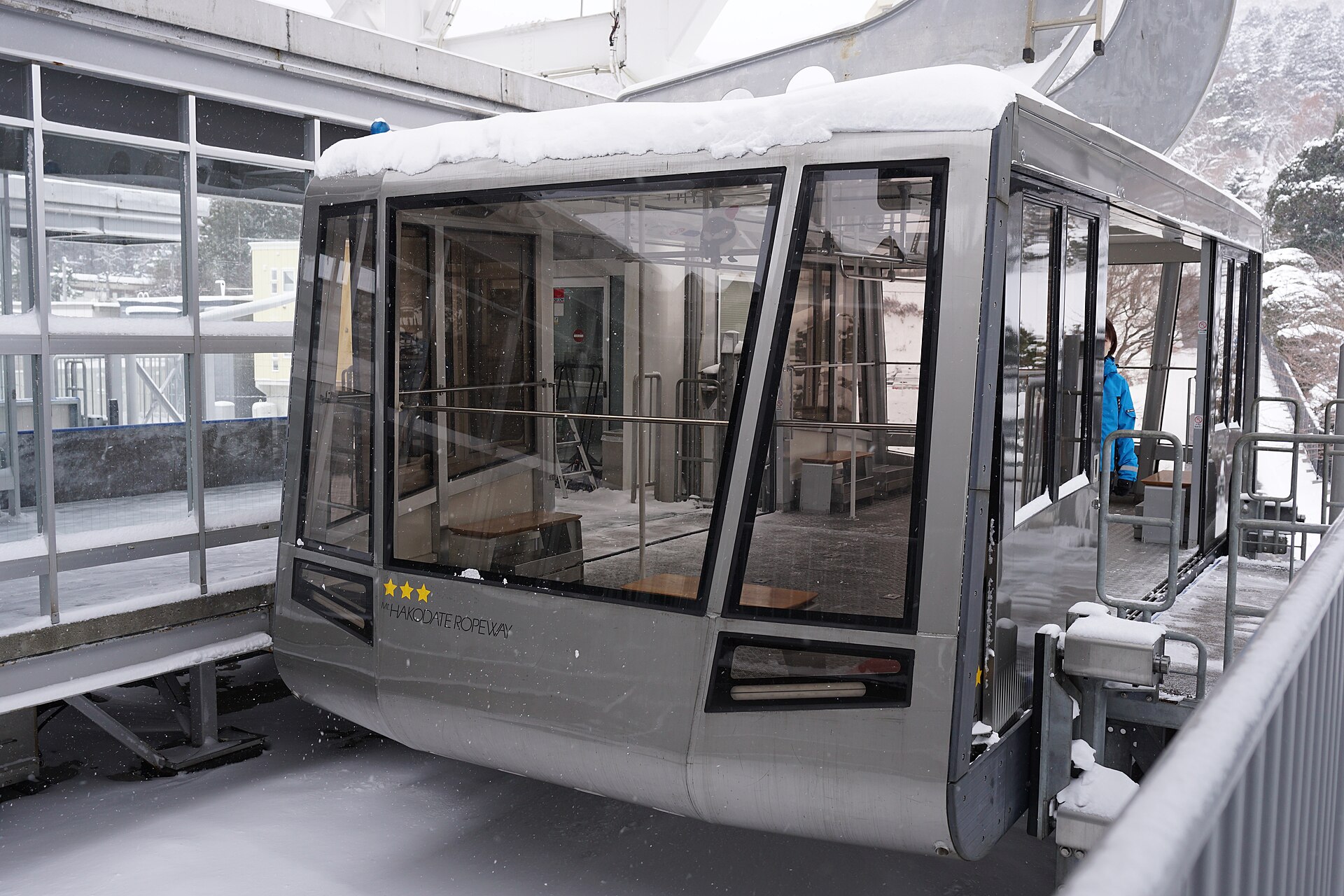
A summit observatory above a port city that grew along a sandbar, looking down on a band of lights that narrows to a waist and widens again. A three-minute ropeway climbs to it from the slopes below.
- FromHakodate Station
- ~25 minTram + ropeway, ~25 min
- Get off atJujigai tram stop (Hakodate City Tram)
- From there
- Mount Hakodate
Where it is
102 more notes in Hokkaido · open the map →What to look for — in walking order
- Sanroku Stationthe ropeway base station on the Motomachi slopes, about ten minutes uphill on foot from the tram stop
- The ropeway climba cabin ride that gains 278.5 metres over 787 metres of horizontal distance
- The summit observatoryan open deck and an indoor floor above the upper station, facing north over the city
- The waist of the sandbarthe narrow lit strip where the city crosses the neck of land, harbour on one side and open strait on the other
- The fortress remainsconcrete batteries and observation posts on the upper slopes, reachable from the summit walking trails
How to actually get there
- Hakodate Station → Jujigai (Hakodate City Tram).
- Jujigai → Mt. Hakodate Ropeway Sanroku Station (about 10 min uphill on foot).
- Sanroku Station → the summit (ropeway, three minutes, departures every 15 min).
- Take the deck about half an hour before sunset and stay through to full darkness.
- Hakodate City Tram, then the ropeway
- Hakodate Station →(Hakodate City Tram)→ Jujigai stop, then about 10 minutes uphill on foot to the ropeway's Sanroku Station. The operator posts about 25 minutes from Hakodate Station to the base station by tram. Cabins leave every 15 minutes, and more often when a queue builds; the ride itself takes three minutes.
- Return by ropeway and tram
- The last cabin down is fixed and leaves shortly after the last cabin up, so the descent needs no rush but does need a glance at the clock. Tram services thin out late in the evening — check both timetables before you go up rather than after.
About the place
Mount Hakodate stands 334 metres at the southern end of the city, and the outline of the view from the top is the reason people come. The mountain was once an island offshore. Sand carried by the current built a bar between it and the Oshima Peninsula, and the port town grew along that flat neck of land, water on either side of it. Seen from the summit after dark, the lit city pinches to a narrow waist and then opens out again, with the black of the harbour on one side and the open strait on the other. The observatory sits directly above the ropeway's upper station.
How to enjoy it
Aim to be on the deck about half an hour before sunset. The ride up takes three minutes, and the slow change from daylight to full lamplight is the part worth waiting through. The first cabin leaves at 10:00, so the summit is open through the day as well. At the time of checking, the last cabin up was 21:30 on the summer timetable and 20:30 on the winter one, with the last cabin down half an hour after each.
Background & history
The army fortified the mountain and turned the whole of it into a restricted zone. It was erased from published maps, and civilians were barred from setting foot on it for decades. Batteries, observation posts and service roads were cut into the upper slopes during that period, and the concrete remains of them still sit beside the walking trails. The mountain was returned to public use after the Second World War, and the view that had been kept for military watchkeeping became the thing the city is now best known for.
Before you go
- Cash
- The ropeway is ticketed and a return fare is the usual purchase; fares are posted at the base station and on the operator's site, and were 1,800 yen for an adult return at the time of checking. The mountain itself and the walking trails cost nothing.
- Good to know
- The summit deck is open air and noticeably colder and windier than the streets below, and in winter that gap is wide. Operating hours and last departures change with the season, and the ropeway follows the weather, so read the operator's notices on the day rather than assuming.
- Another way
- Buses run up the mountain road from the city in the warmer months. Road access is subject to seasonal and time-of-day restrictions, so the ropeway is the dependable option; the walking trails from Motomachi are the slow one.
- After you get off
- From the Jujigai tram stop, walk uphill through the Motomachi slopes for about ten minutes to reach the ropeway's Sanroku Station.
Nearby notes
 掬茶 / CC BY-SA 4.0
History · Hokkaido★★
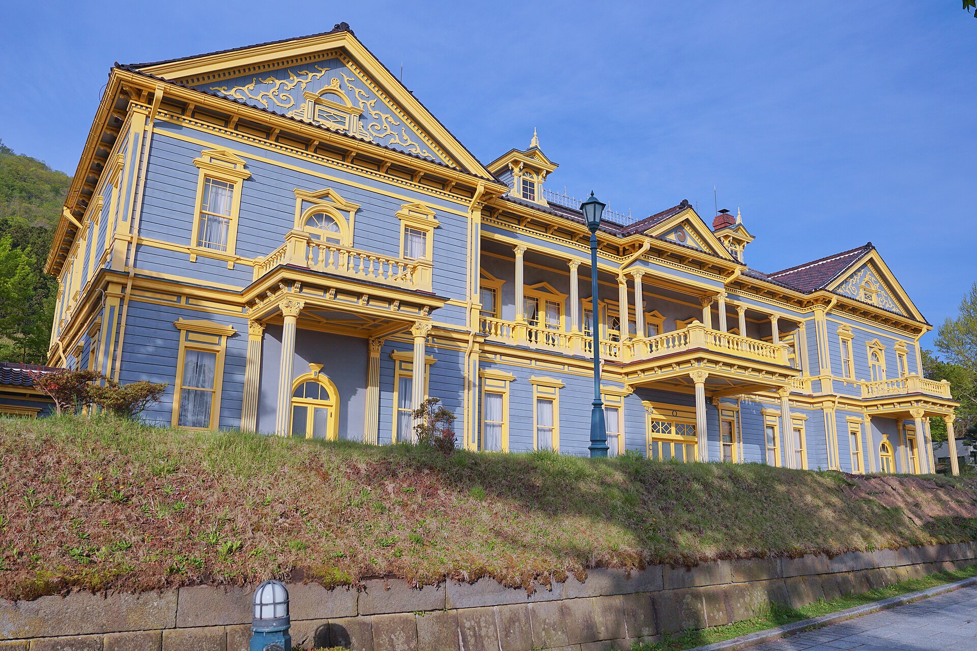
Old Public Hall of Hakodate Ward
0.7 km · straight line
 Hector Martin / CC BY-SA 2.0
Food · Hokkaido★★★
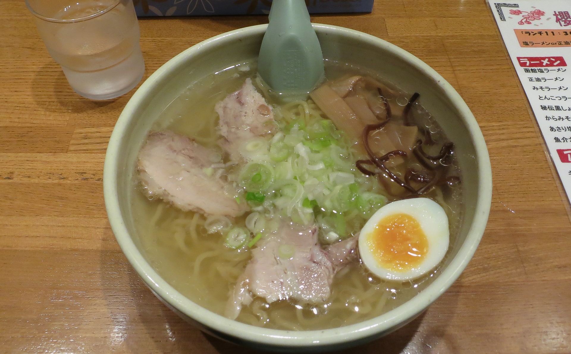
Hakodate Shio Ramen
1.1 km · straight line
 663highland / CC BY 2.5
History · Hokkaido★★
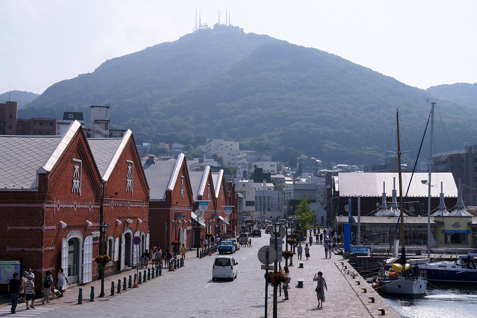
Kanemori Red Brick Warehouse
1.2 km · straight line
 663highland / CC BY 2.5
Food · Hokkaido★★★
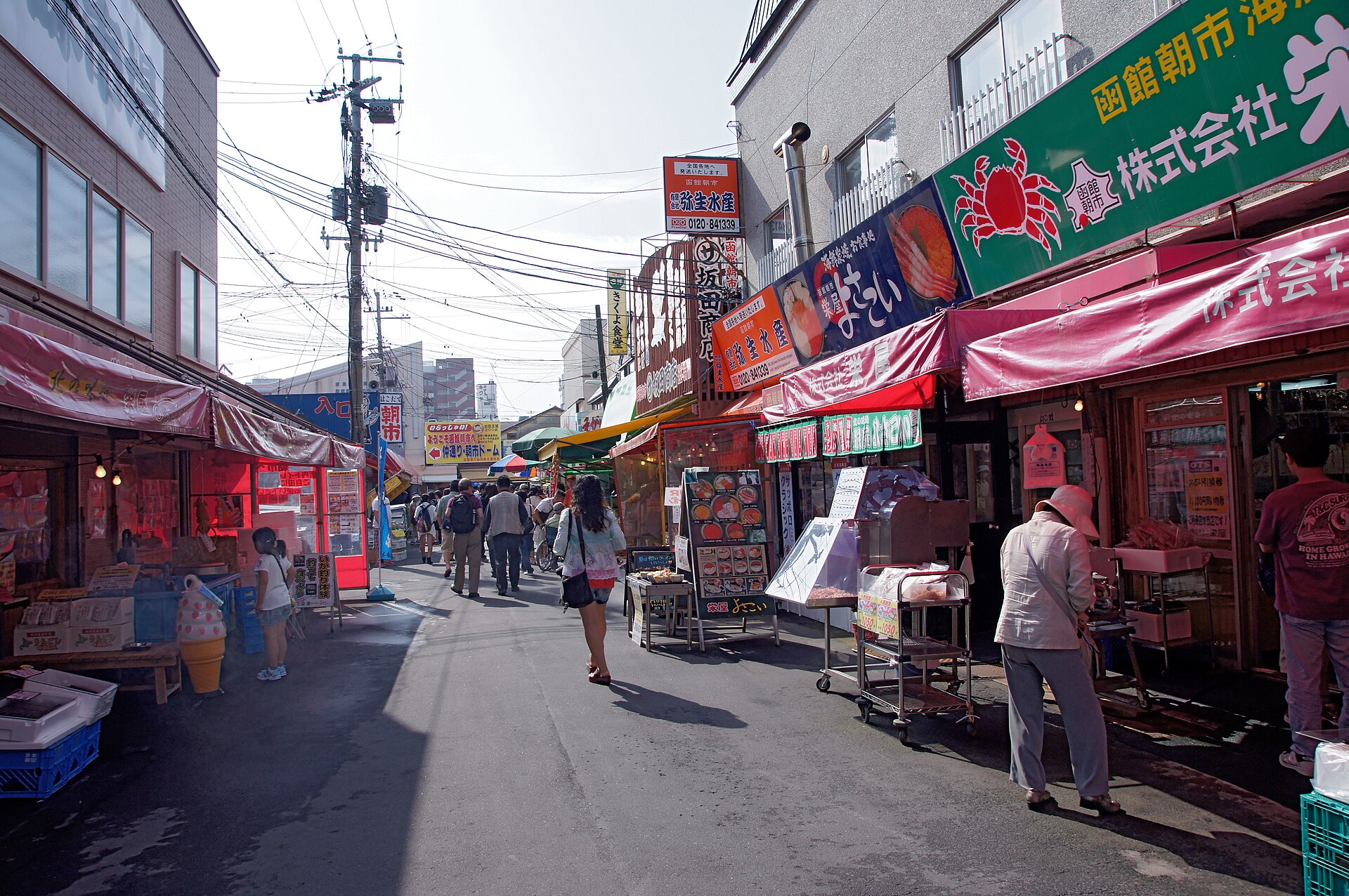
Hakodate Morning Market
2.3 km · straight line
Distances are straight lines on the map, not travel times.