Satsuma Peninsula · IbusukiNo.1186★★Open in map →
Mount Kaimon
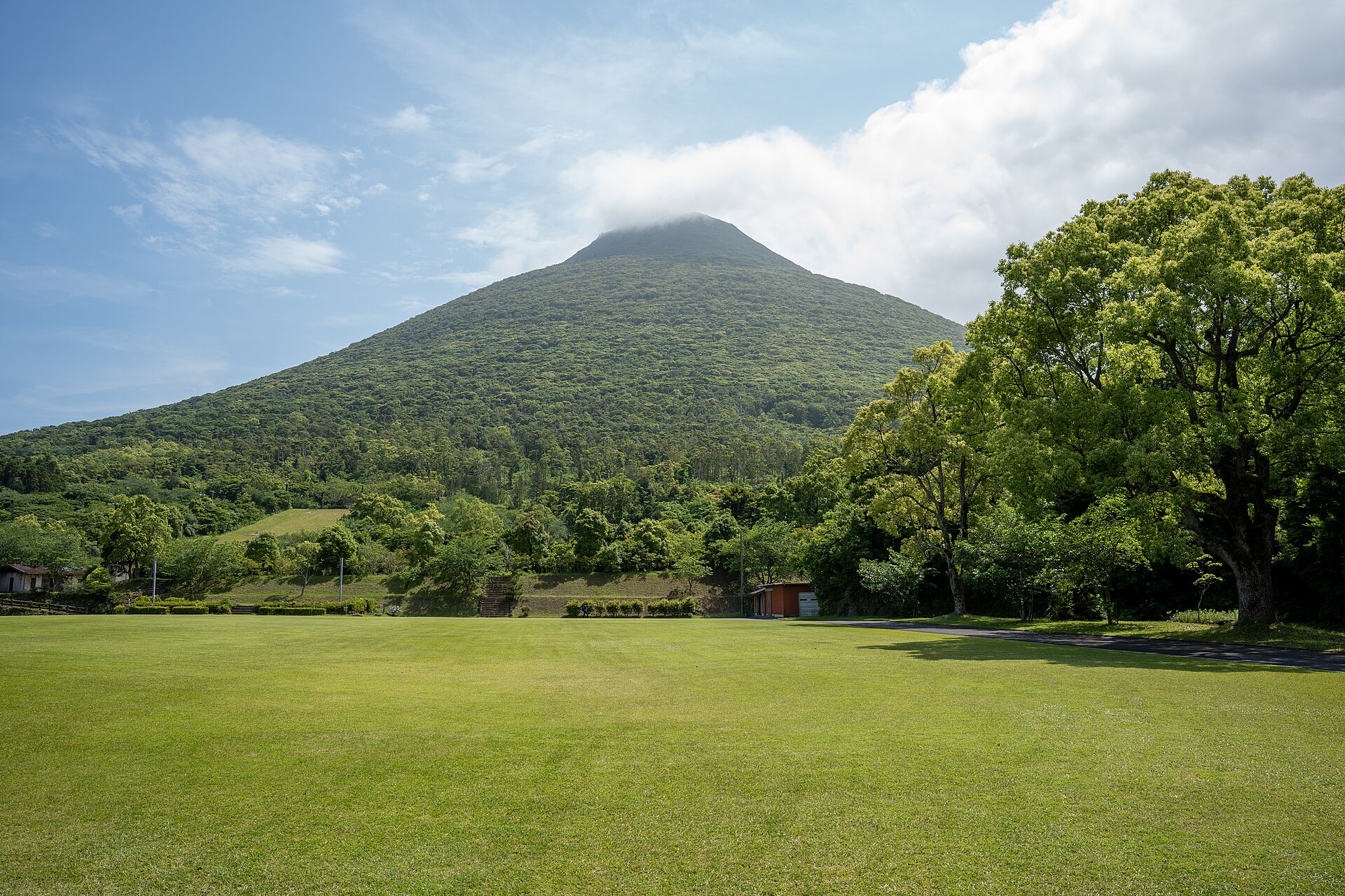
A volcanic cone at the southern tip of the Satsuma Peninsula, standing alone where the land runs out into the sea. Kagoshima has called it the Satsuma Fuji for centuries. One trail climbs it, spiralling once around the mountain on the way to the top.
- FromKagoshima-Chuo Station
- ~2 hrJR local line, few trains
- Get off atKaimon Station (JR Ibusuki-Makurazaki Line)
- From there
- Mount Kaimon
The sweet spot
This is not an unknown mountain. It is on the standard list of Japan's hundred famous peaks and it is the postcard image of southern Kagoshima, photographed from every coast road and rice field around it. What thins the crowd is the timetable rather than the fame. The railway south of Yamakawa runs only a handful of services a day, so the foot of the mountain sees far fewer people than the view of it does.
Where it is
12 more notes in Kagoshima · open the map →What to look for — in walking order
- Kaimon Sanroku Fureai Parkthe park at the foot of the cone, with the trailhead, a free car park and the last toilets
- The spiral traila single marked path that winds around the mountain instead of climbing the slope head-on
- The rock and ladder sectionthe narrow upper stretch where the route turns to boulders, steps and fixed ladders
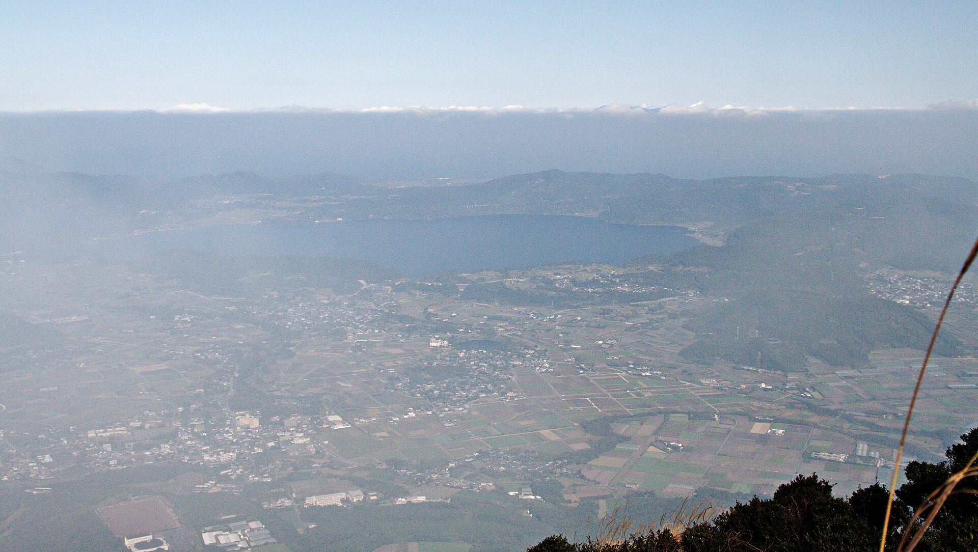
- The summit outlooka 360-degree view over Sakurajima, the Kirishima range, the Osumi Peninsula and Yakushima
How to actually get there
- Kagoshima-Chuo Station → Kaimon Station (JR Ibusuki-Makurazaki Line; through services are few, otherwise change at Ibusuki or Yamakawa).
- Kaimon Station → Kaimon Sanroku Fureai Park on foot, walking south toward the mountain.
- Park → the trail, which winds around the cone rather than straight up it.
- Upper slope → the summit by way of the rock and ladder section, then back down the same path.
- JR Ibusuki-Makurazaki Line from Kagoshima-Chuo
- Kagoshima-Chuo Station →(JR Ibusuki-Makurazaki Line)→ Kaimon Station. The published timetable shows a small number of through services covering it in about two hours; on other departures you change at Ibusuki or Yamakawa. There is no limited express beyond Ibusuki, so the last stretch is always an ordinary train.
- Return from Kaimon Station
- The same line runs back north through Yamakawa and Ibusuki to Kagoshima-Chuo. Departures here are counted in a handful a day rather than one an hour, and the gaps between them can run for hours in the middle of the day. Read the timetable on the platform when you arrive and settle your return before you start walking.
About the place
Mount Kaimon rises 924 metres at the southern end of the Satsuma Peninsula, with water on three sides and no neighbouring ridge to lean against. The shape is close to a true cone, which is where the nickname comes from. Geologists read it as two volcanoes in one, a basalt cone carrying a later lava dome on its head. One marked trail climbs it, starting from the park at the foot, and instead of taking the slope head-on it spirals around the mountain. That means the outlook swings from the open sea to the farmland of the peninsula and back again as you climb. Near the top the path narrows and turns to boulders, steps and fixed ladders.
How to enjoy it
Official guidance puts the climb at about three hours to the top, and you come down the same trail, so this is a day rather than a stop. Because the trains are few, work backwards: pick the service you want to leave on, then fix the outward one. If the climb is not the plan, the cone reads best from the lawn of the park at its foot, where the whole shape fits in one frame.
Background & history
Japan's written records hold two eruptions here, in 874 and again in 885, both large. The Japan Meteorological Agency lists pyroclastic flows and mudflows for the first, and for the second a lava flow and the lava dome that now forms the upper step of the mountain. Ibusuki's own city records describe the Kaimon deity as a sea god, enshrined at Hirakiki Jinja at the northern foot, where sailors working this coast asked for safe passage. The mountain sits inside Kirishima-Kinkowan National Park, first designated in 1934 and given its present name in 2012.
Before you go
- Cash
- The mountain, the trail and the car park at the foot are all free. Kaimon Station is an unstaffed single platform with no ticket counter, so settle the fare the way the line's rules require rather than expecting a window. Carry cash and water: there is nothing to buy above the park.
- Good to know
- There are no toilets on the trail or at the summit — the last ones are at the park's management building. The upper section is rock and ladders and turns slippery in rain, and the route is fully exposed once you leave the forest. On a low, grey day the summit view closes down completely.
- Another way
- From Ibusuki the mountain is about thirty minutes away by car. The prefecture's travel guide also lists a bus from Ibusuki Station to a trailhead stop, which leaves the same short walk at the end as the train does.
- After you get off
- Kaimon Station is a single unstaffed platform beside the road. From there it is roughly twenty minutes on foot south, toward the cone, to Kaimon Sanroku Fureai Park, where the trail begins.
Nearby notes
 MaedaAkihiko / CC BY-SA 4.0
Onsen · Kagoshima★★★
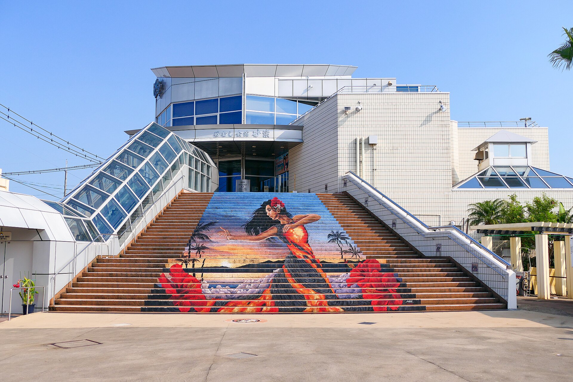
Ibusuki Sunamushi Sand Bath
13.0 km · straight line
 Naokijp / CC BY-SA 4.0
History · Kagoshima★★★
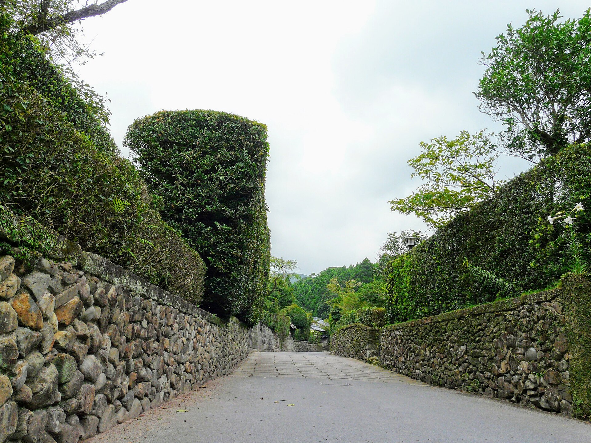
Chiran
23.5 km · straight line
 Sakaori / CC BY 3.0
Food · Kagoshima★★★
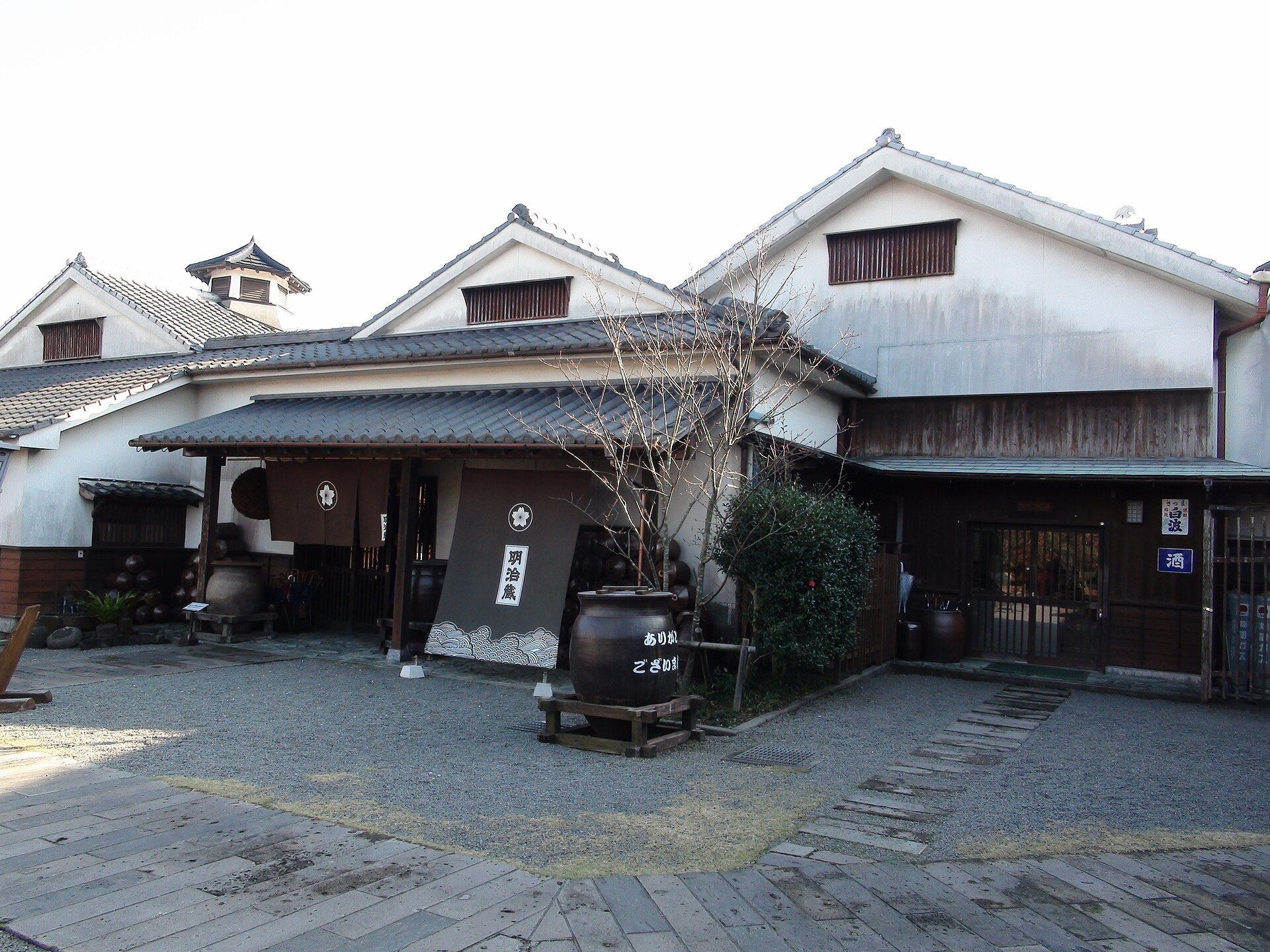
Satsuma Shochu
25.3 km · straight line
Distances are straight lines on the map, not travel times.