Miyagi · NarukoNo.826★★Open in map →
Naruko Gorge
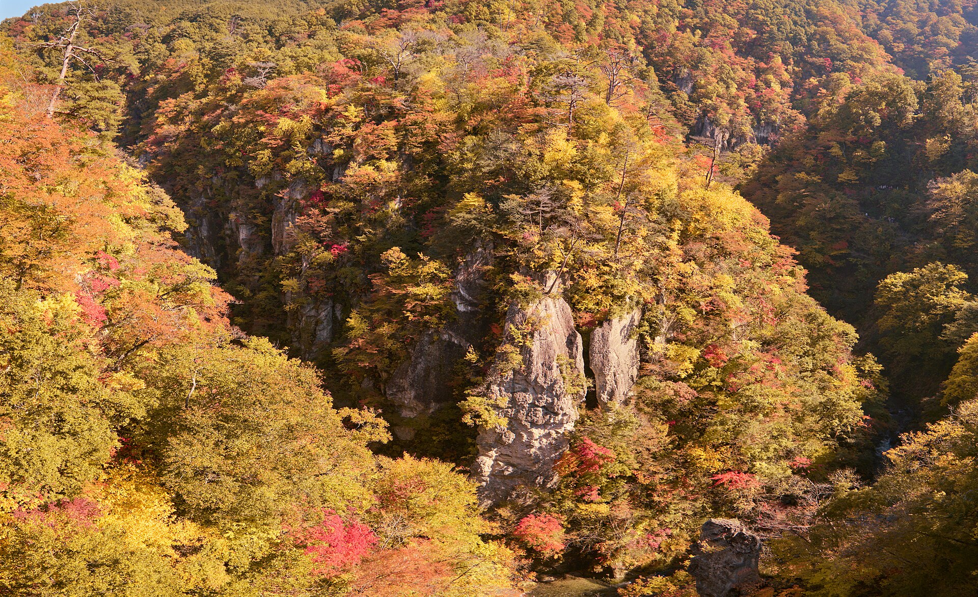
A gorge in the highlands west of Naruko Onsen, where the Oya River has cut a wall of rock down through the plateau. The viewing is done from the rim and the arched bridge; the paths below the lip open only for part of the year.
- FromFurukawa Station
- ~50 min from FurukawaRikuu East Line, then a taxi
- Get off atNaruko-Onsen Station (JR Rikuu East Line)
- From there
- Naruko Gorge
The sweet spot
Naruko Gorge is a named autumn destination and it fills through October, so it is not a hidden place. What is less known is how little of it can be walked. The through route along the floor is not open; what remains are short stubs at either end, behind gates with fixed daytime hours.
Where it is
23 more notes in Miyagi · open the map →What to look for — in walking order
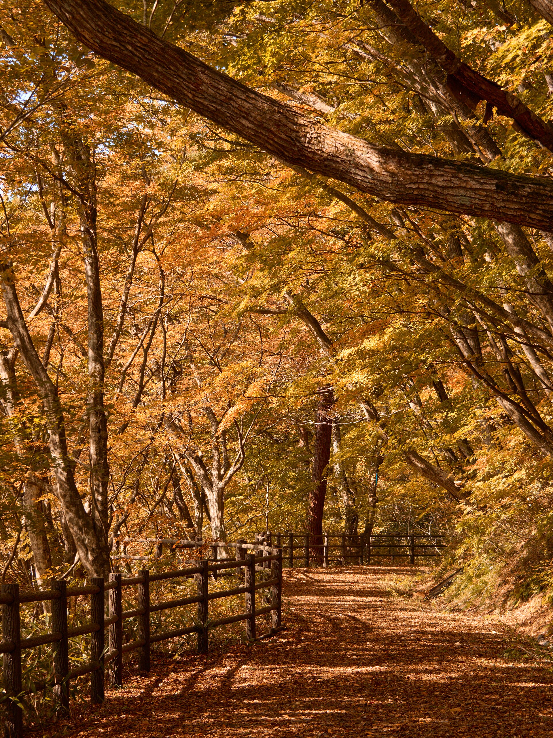
- The rest house lookoutthe terrace at the Naruko end, where the road, the car park and the view meet
- Ofukazawa Bridgethe arched road span over the cut, and the frame for most pictures of the gorge
- The Naruko-end patha stub of about 230 metres from the eastern entrance, open in season
- The Ofukazawa loopa 2.2-kilometre circuit through woodland on the plateau above the gorge
- The Nakayamadaira-end paththe longer of the two stubs, about 350 metres, from the western entrance
How to actually get there
- Tohoku Shinkansen to Furukawa Station.
- Furukawa Station → Naruko-Onsen Station (JR Rikuu East Line).
- Naruko-Onsen Station → the gorge rest house and car park, by taxi up onto the plateau.
- From the lookout, cross to the bridge, then take whichever of the two gated paths is open.
- Rikuu East Line to Naruko-Onsen, then a taxi
- Take the Tohoku Shinkansen to Furukawa, change to the JR Rikuu East Line and ride to Naruko-Onsen Station. From the station the gorge is a climb onto the plateau, which means a taxi. Cars are not numerous here, so arrange the way back with the driver or the rest house before you go up.
- Back down to Naruko-Onsen
- Return the same way — taxi down to Naruko-Onsen Station, then the Rikuu East Line to Furukawa. Trains on this line are widely spaced through the day, so settle the departure you intend to catch before you leave the town, not after you come back down.
About the place
The gorge runs through the highlands of Osaki, in the northwest of Miyagi, where the Oya River has cut downward into the rock. From the lip to the riverbed the drop reaches about 100 metres, and the two sides stand close enough that the far wall reads as a single face rather than a distant slope. Beech and maple cover both rims. The road along the top crosses the cut on an arched span, the Ofukazawa Bridge, and that crossing is where most photographs of the gorge are taken from.
How to enjoy it
The two paths into the gorge are gated and open from nine in the morning to four in the afternoon, and only while the gorge itself is open for the season. Colour peaks from the last days of October into early November, which is also when the bridge and the car park are busiest. Arriving near opening rather than at midday is the difference between a photograph and a queue.
Background & history
The gorge is young as landforms go. The Oya River cut downward faster than the walls could weather back, which is why the sides still stand as faces rather than slopes. Naruko itself is old hot-spring country, and for most of its history the gorge lay behind the spa town as scenery rather than somewhere people set out for. Walking paths were laid along it in the early twentieth century, and later the highway was carried across the cut on arched bridges. Those crossings are what turned a hard place to reach into a view anyone can look down into.
Before you go
- Cash
- The lookout and the bridge cost nothing to see. The car park at the Naruko end charges a fee in season, so bring cash for it.
- Good to know
- The gorge is open from the end of April to late November and shut for the winter. Even in season the walking sections are gated to daytime hours only, and there is no lighting anywhere along the rim. The plateau is noticeably colder than the spa town below it.
- Another way
- By car it is about 50 minutes from the Furukawa interchange on the Tohoku Expressway, out along National Route 47 toward Naruko. On autumn weekends the car park at the Naruko end fills early.
- After you get off
- Naruko-Onsen Station sits in the spa town below the gorge, so the last leg is a drive up onto the plateau rather than a walk. At the top the car park, the rest house and the lookout are all within a minute or two of each other.
Nearby notes
 KQuhen / CC BY-SA 4.0
Craft · Miyagi★★
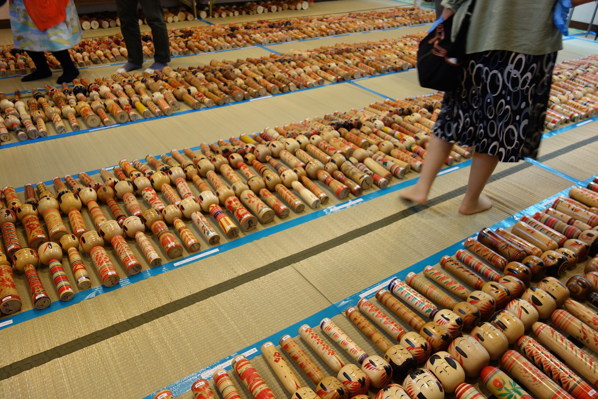
Miyagi Traditional Kokeshi
0.5 km · straight line
 Zhaitengli / CC BY 4.0
Onsen · Miyagi★★★
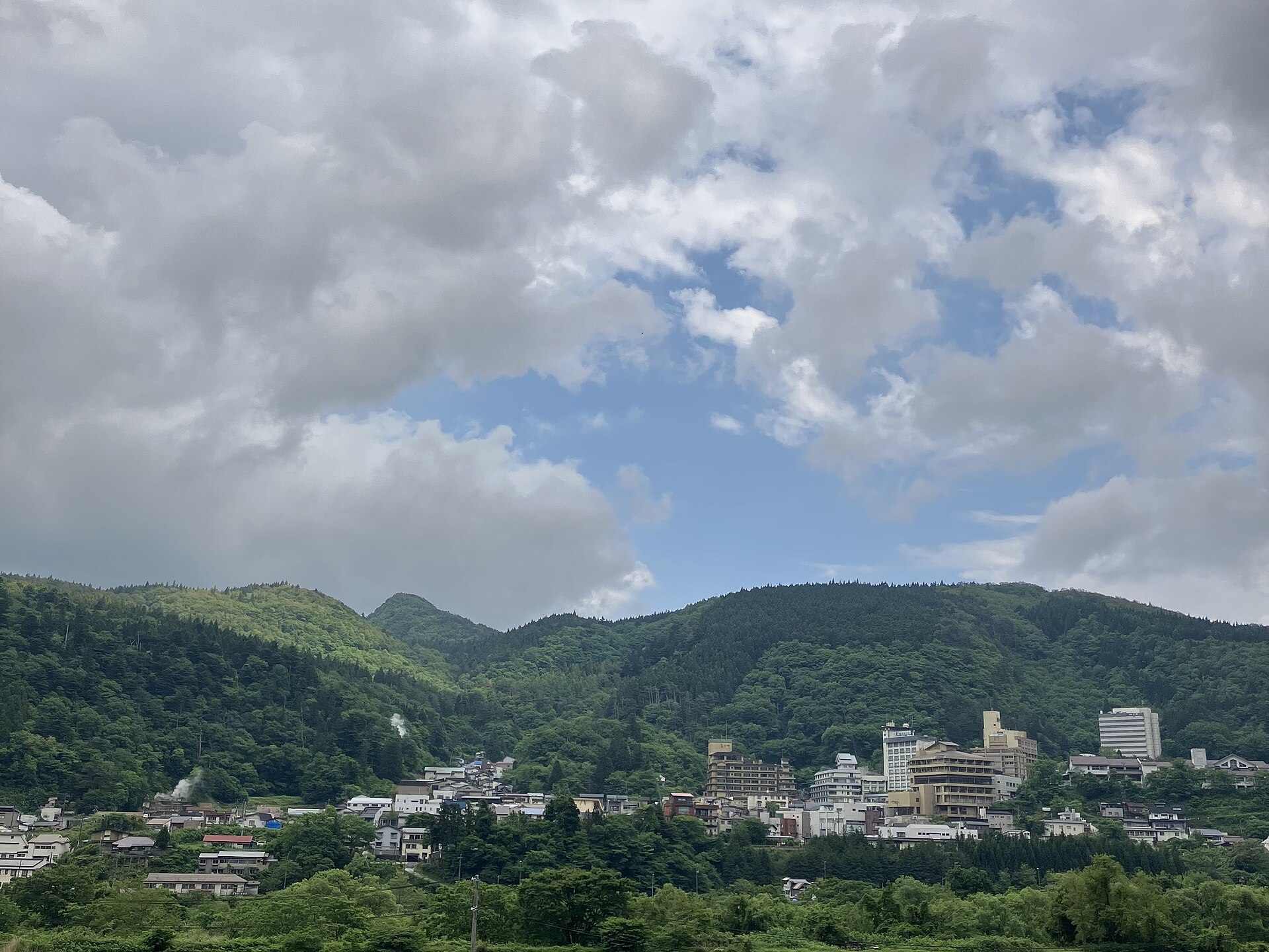
Naruko Onsen
2.2 km · straight line
 掬茶 / CC BY-SA 4.0
Onsen · Yamagata★★★
Ginzan Onsen
23.2 km · straight line
 Raita Futo from Tokyo, Japan / CC BY 2.0
Nature · Akita★★
Kawarage Jigoku
29.5 km · straight line
Distances are straight lines on the map, not travel times.