Kochi · Shimanto RiverNo.910★★★Open in map →
Sada Chinkabashi
— Longest of the Shimanto's railless bridges
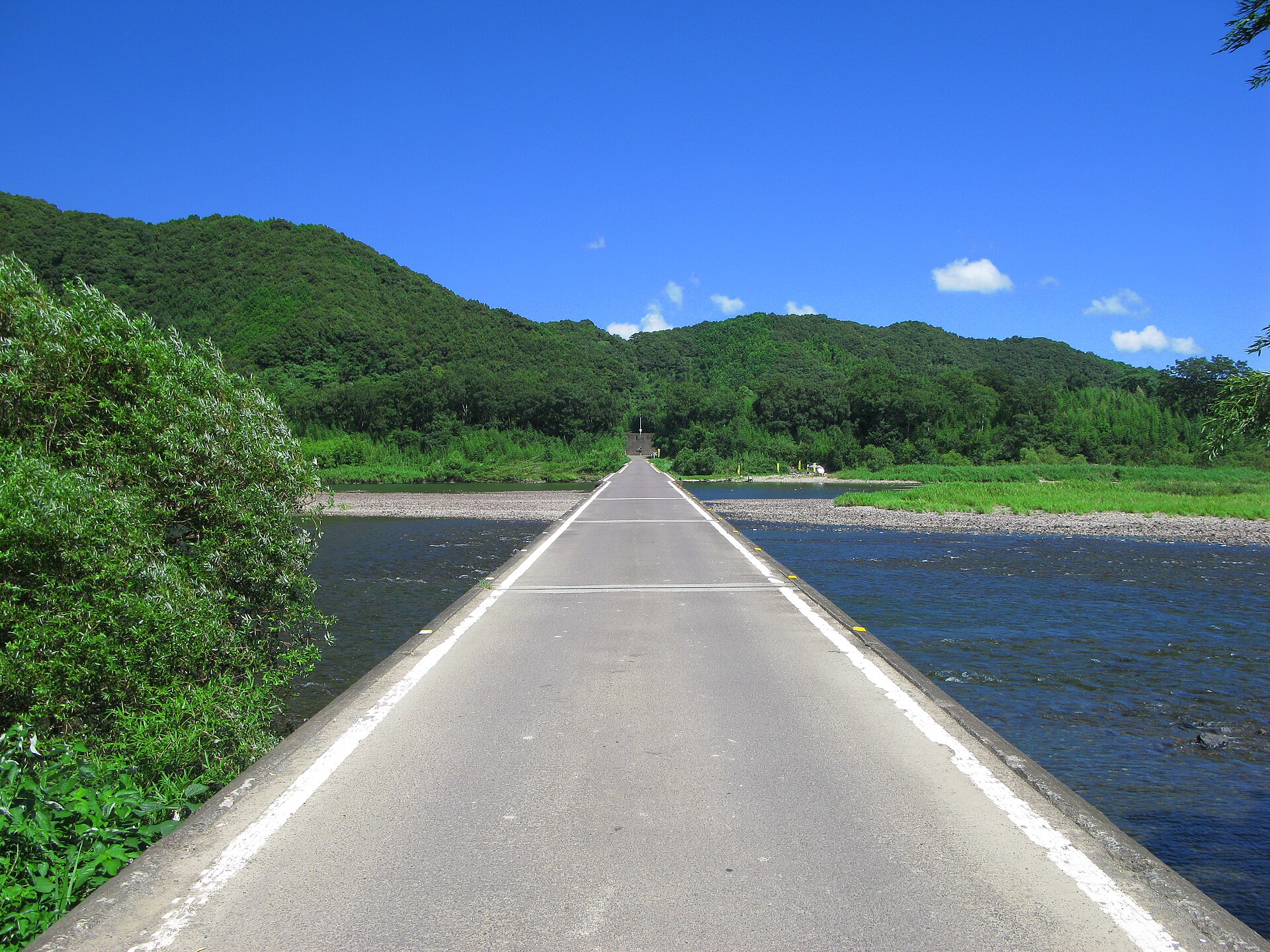
The most downstream and the longest of the submersible bridges on the Shimanto, a crossing laid low and left without railings so that floodwater passes over it. It is a working road, open at any hour and free.
- FromNakamura Station (Tosa Kuroshio Railway)
- ~20 minCar or taxi from Nakamura
- Sada Chinkabashi
Where it is
18 more notes in Kochi · open the map →What to look for
- The east-bank approachthe single-lane turn down from the river road, and the only place to leave a car
- The bridge deck4.2 metres of bare concrete, no railing on either side, wide enough for one vehicle
- The Shimanto beneatha slack, shallow reach where the gravel bars show through clear water
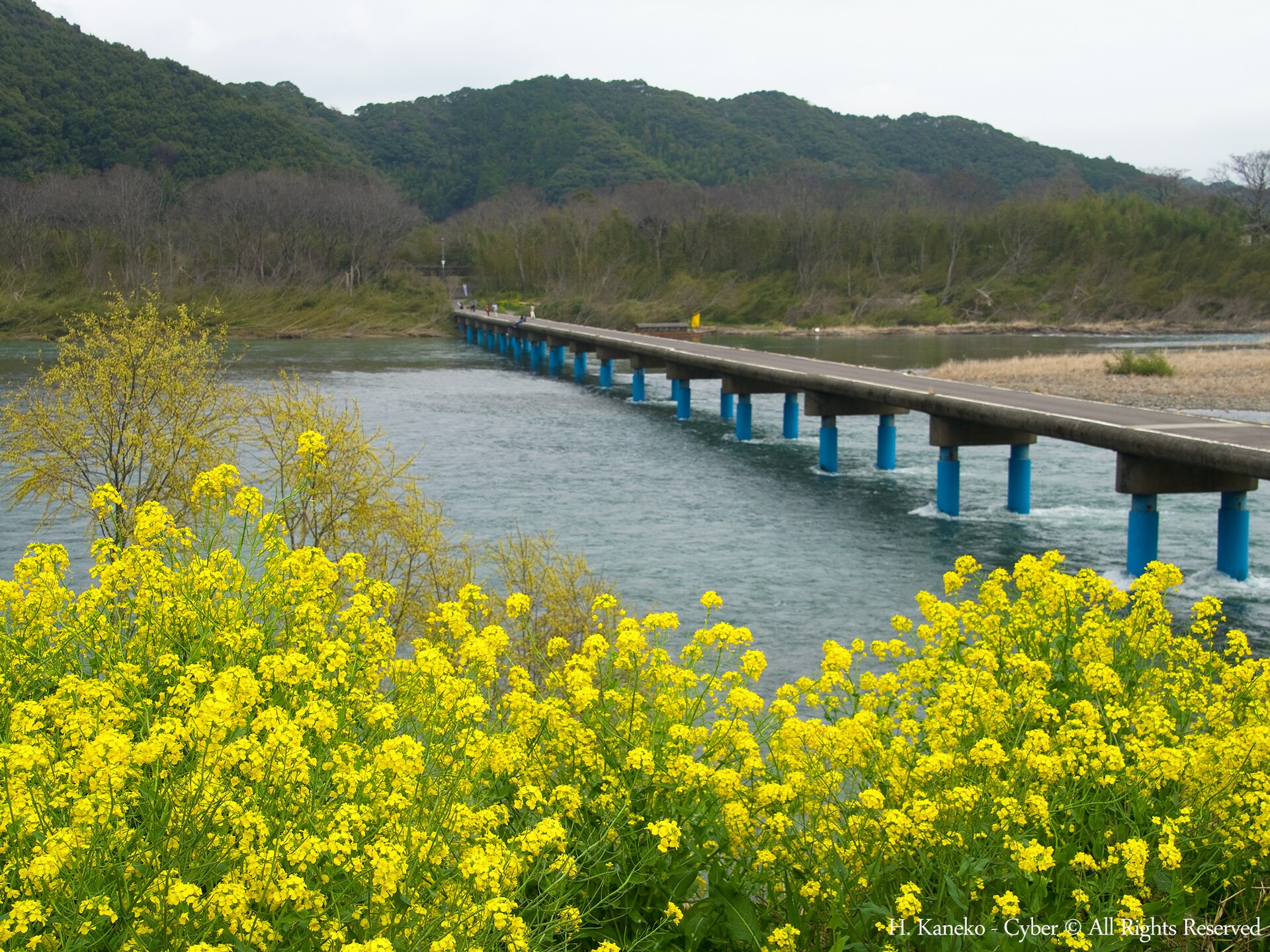
- The west-bank flatsopen riverbank at the far end, which comes up in rapeseed yellow in early spring
How to actually get there
- Kochi Station → Nakamura Station (limited express, about 2 hours).
- Nakamura Station → Sada Chinkabashi (car or taxi, about 20 minutes on the river road).
- Park at the east approach and walk out onto the deck, moving to the edge for vehicles.
- Return the same way, or carry on upstream toward the Katsuma and Iwama crossings.
- Nakamura Station to Sada Chinkabashi by road
- No bus serves the bridge. From Nakamura Station it is about 20 minutes by car or taxi, following the river road northwest and turning down a single-lane approach at the east end of the crossing. A rental bicycle covers the same route in about 50 minutes.
- Back to Nakamura Station
- The same road returns to Nakamura, and there is no evening service of any kind out here, so the way back is whatever you arrived on. Trains out of Nakamura are not frequent, so decide the departure you want before setting off rather than after.
About the place
The Shimanto runs 196 kilometres out of the hills of western Kochi, the longest river in Shikoku, and it carries no large dam on its main stem. That is the reason for the name it is usually given, Japan's last clear river. Along the lower reaches the villages are linked by chinkabashi, low crossings built to go under water when the river rises rather than fight it. Sada Chinkabashi is the last of them before the estuary and the longest, at 291.6 metres. It lies flat over a broad, slack reach where the gravel bars show through, and from the bank the deck reads as a thin grey line drawn straight across the water.
How to enjoy it
Treat the crossing itself as the point: walk out from the east bank, stop midway where the water is at its widest, and come back the same way. Traffic is light but steady, so listen for engines and move to the edge early rather than late. By rental bicycle the ride out from Nakamura Station takes about fifty minutes and links this bridge to the narrower crossings upstream, which is a better half day than driving here and back.
Background & history
Chinkabashi were the practical answer to a river that floods hard and often. Rather than lift a bridge above the flood line at cost, the deck was laid low and the railings left off, so that water, timber and gravel wash over it instead of tearing it away. Sada Chinkabashi carries the formal name Imanari Bridge and was completed in 1972. The prefecture later settled on keeping the surviving crossings in use as living heritage rather than replacing them with high bridges.
Before you go
- Cash
- The bridge is a public road, so there is no admission and no toll. There is nothing at the crossing itself, so buy what you need in Nakamura and carry cash.
- Good to know
- There is no railing and no lighting, and the deck is narrow enough that vehicles cannot pass one another along most of it. After heavy rain the river rises over the deck by design and the crossing is closed until it drops, so check conditions before travelling in the typhoon season.
- Another way
- A riverside road also reaches the far end of the bridge from upstream, which suits a route that carries on to the Katsuma and Iwama crossings rather than doubling back to Nakamura.
- After you get off
- Nakamura Station is the arrival point, but the bridge is not within walking distance of it. Pick up a taxi, hire car or rental bicycle at the station; the route runs northwest on the river road and then drops down a short single-lane approach to the east end of the crossing.
Nearby notes
 アラツク / CC BY-SA 4.0
Food · Kochi★★★
Tosa Katsuo Tataki
21.7 km · straight line
 Reggaeman / CC BY-SA 3.0
Nature · Ehime★★
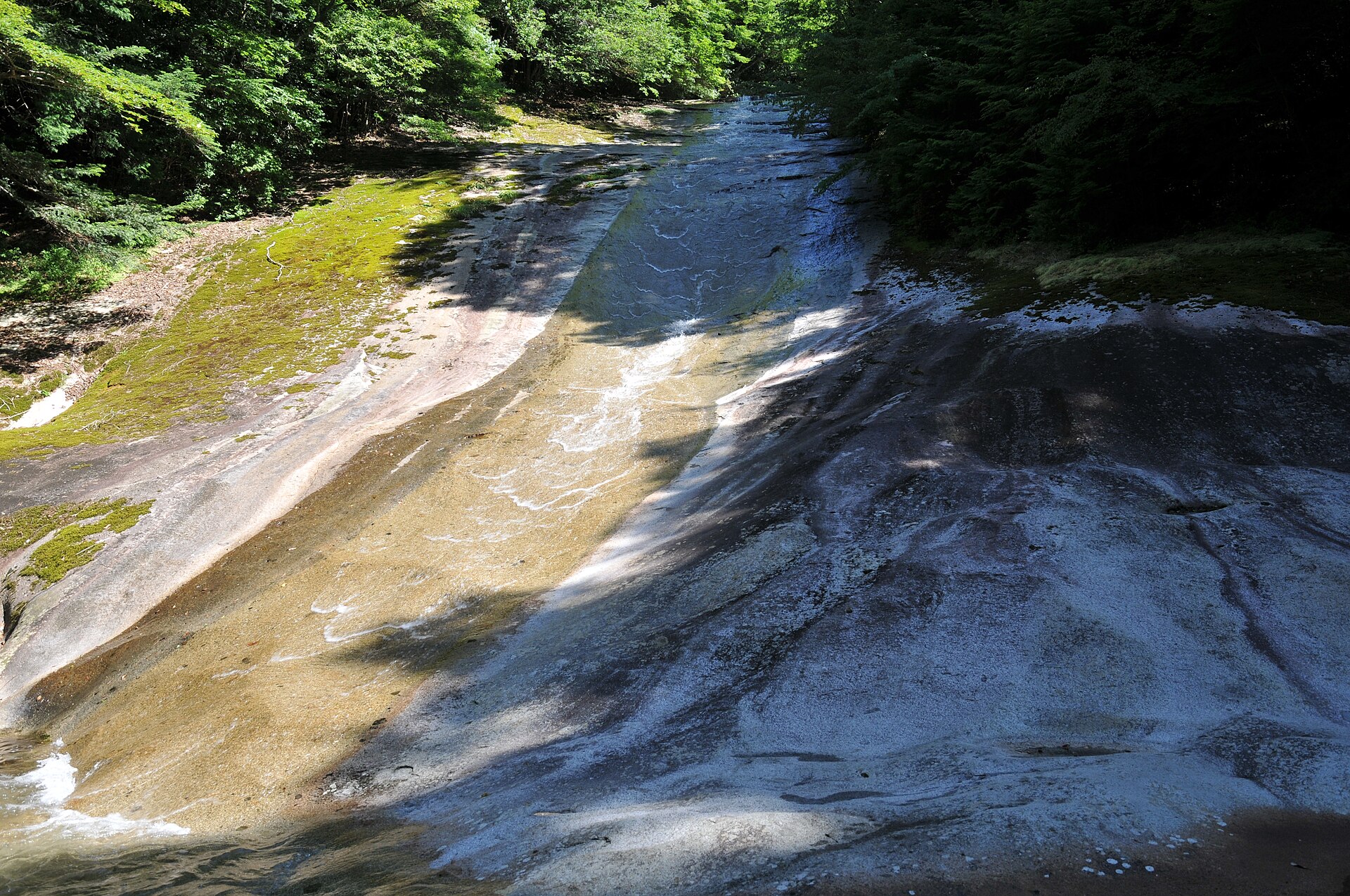
Nametoko Gorge
29.7 km · straight line
Distances are straight lines on the map, not travel times.