South Ehime · NametokoNo.1290★★Open in map →
Nametoko Gorge
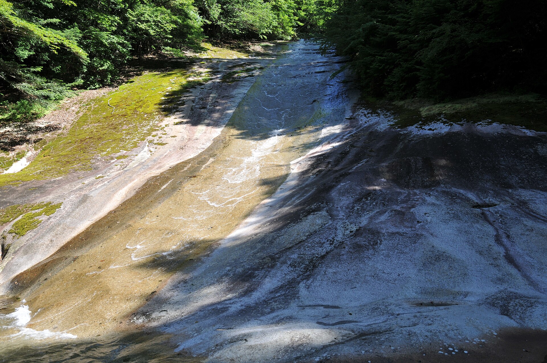
A gorge in the mountains of southern Ehime where a clear stream slides across smooth granite riverbed. Its centrepiece, Yukiwa Falls, flows down one long slab of rock in ripples that look like rings of snow.
- FromMatsumaru Station (JR Yodo Line)
- ~30 min by taxiTaxi from JR Matsumaru Station
- Nametoko Gorge
The sweet spot
Nametoko is one of Ehime's well-known sights and draws crowds in the fresh-green and autumn-leaf seasons, so it is not a hidden spot. What thins the numbers is distance. Official guides send rail travellers on by taxi from the nearest station, and the last stretch of road is a narrow mountain lane.
Where it is
29 more notes in Ehime · open the map →What to look for — in walking order
- Mannen Bridgethe gateway bridge to the gorge; nearby, a huge natural stone marks the opening of a road between the Uwajima and Tosa domains
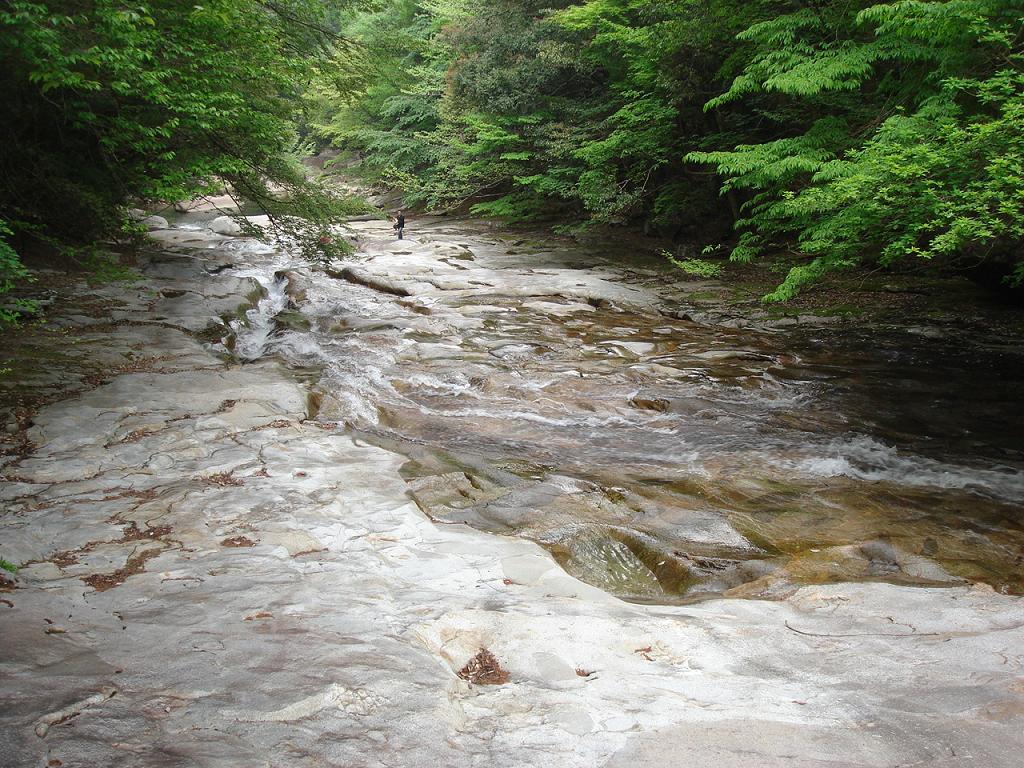
- Deainamea broad sheet of weathered granite close to the bridge, where thin water slides across in patterns
- Yukiwa Fallsa sliding fall down one granite slab about 300 metres long and 20 metres wide, its ripples like rings of snow
- Senjojikifurther upstream, a flat bedrock floor spread across the river, likened to a thousand tatami mats
How to actually get there
- Uwajima Station → Matsumaru Station (JR Yodo Line).
- Matsumaru Station → Mannen Bridge at the gorge entrance (taxi, about 30 min).
- Walk upstream from Mannen Bridge past Deainame to Yukiwa Falls.
- Continue to Senjojiki if you want more, then return the same way to the visitor centre.
- JR Yodo Line to Matsumaru, then a taxi
- From Uwajima Station, ride the JR Yodo Line to Matsumaru Station. The Forestry Agency's access guide sends visitors on from there by taxi, about 30 minutes to the gorge. Yodo Line trains are infrequent, so plan the day around the timetable.
- Taxi back to Matsumaru Station
- Return the same way: taxi to Matsumaru Station, then the Yodo Line toward Uwajima. The gaps between trains are long, so check the departures from Matsumaru before you set off up the trail. The station building also houses a hot-spring bath, Morinokuni Poppo Onsen, on its upper floor.
About the place
Nametoko Gorge follows the uppermost stretch of the Meguro River, a tributary of the Shimanto, for about 12 kilometres through the Onigajo mountains of southern Ehime. Almost the whole riverbed is granite. The water has worn it so smooth that the name means slippery riverbed. The stream slides across broad sheets of bare rock, drops into clear pools and runs on beneath riverside beech and maple. The gorge is a detached inland piece of Ashizuri-Uwakai National Park, and wild monkeys live in the valley. Its centrepiece is Yukiwa Falls, one of Japan's Top 100 Waterfalls.
How to enjoy it
Walk upstream from Mannen Bridge and Deainame comes first, then Yukiwa Falls, with Senjojiki further on if you have the legs. The Mannen-so visitor centre at the entrance opens 9:00–17:00, closes on Mondays (the next day when Monday is a holiday), and has toilets, showers and an eating area. In summer, guided canyoning tours slide down the falls themselves.
Background & history
These mountains were once a contested frontier. Mount Sanbongui, just south of the gorge, is said to take its name from boundary stakes that the Uwajima, Yoshida and Tosa domains set near its summit in the Edo period. Downstream, the Meguro Furusato-kan museum keeps a wooden relief model made in 1665 so the shogunate could rule on a mountain border dispute between villages of the Uwajima and Yoshida domains. It is now a National Important Cultural Property. In 1995 the Forestry Agency named the forest one of Japan's 100 best headwater forests, and in 2025 the Mannen-so visitor centre at the entrance reopened after renovation.
Before you go
- Cash
- Entry to the gorge is free, and so is the car park at the entrance, with room for about 150 cars. Guided canyoning is a paid tour that has to be booked with an operator in advance.
- Good to know
- Flash floods can occur near the stream, so move away from the water at once in heavy rain. After heavy rain, stay out of the forest because branches may fall, and do not cross bridges when the river is high. The area gets heavy snow in winter, and the Forestry Agency advises winter mountain gear. When the water runs high, the snow-ring ripples on Yukiwa Falls may not show.
- Another way
- By car, leave the Matsuyama Expressway at Mima IC and follow Prefectural Roads 57, 8 and 270, the route the Forestry Agency gives. Car navigation sometimes suggests Route 317 instead, which the agency warns is narrow and rough. Route 270 also narrows near the gorge, with spots where two cars cannot pass.
- After you get off
- Taxis and cars pull into the free car park beside the Mannen-so visitor centre at the gorge entrance. The trail heads upstream from Mannen Bridge, right next to it.
Nearby notes
 ぺ有家音 / CC0
Culture · Ehime★★
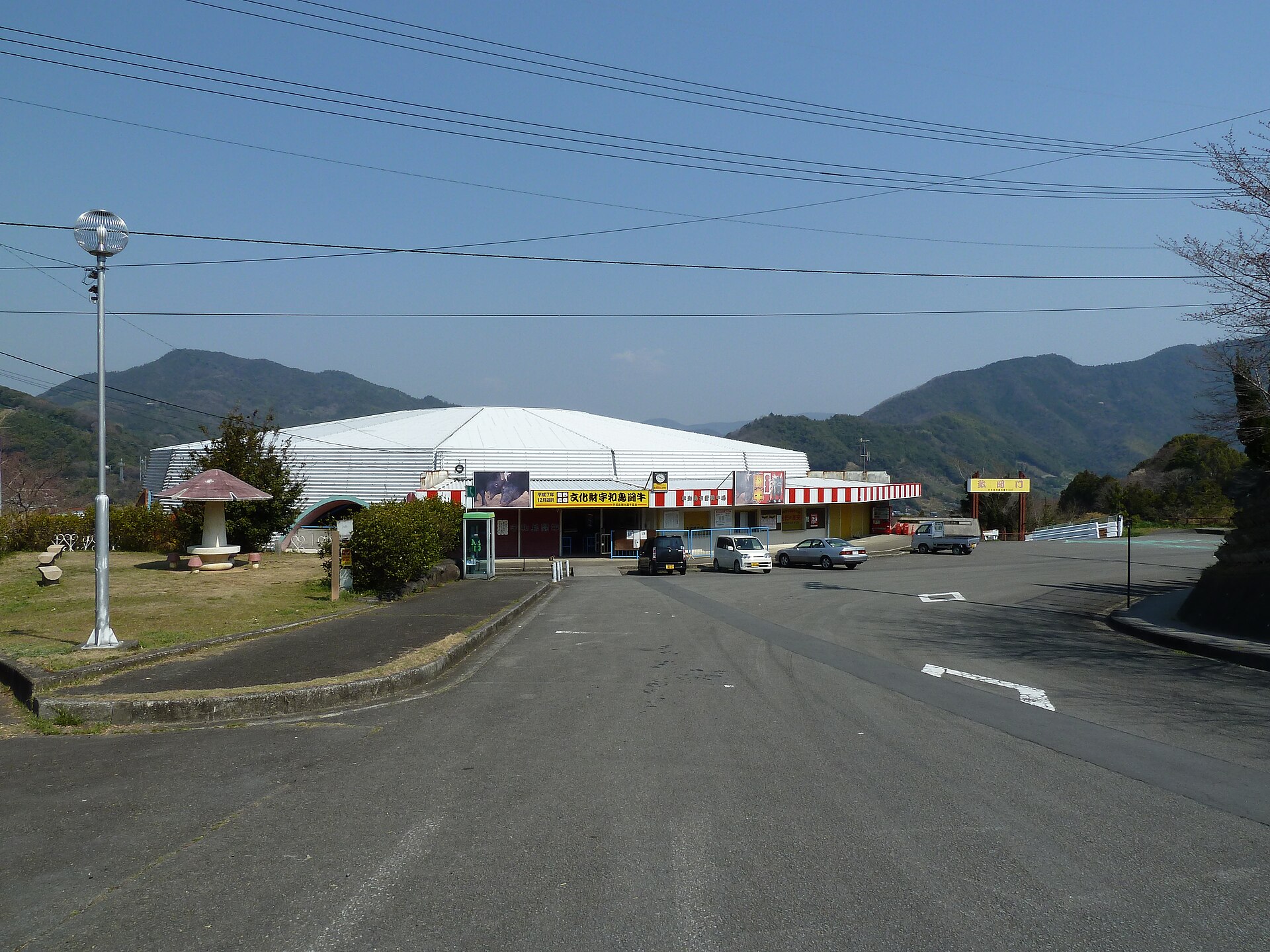
Uwajima Bullfighting
8.5 km · straight line
 Suicasmo / CC BY-SA 4.0
History · Ehime★★
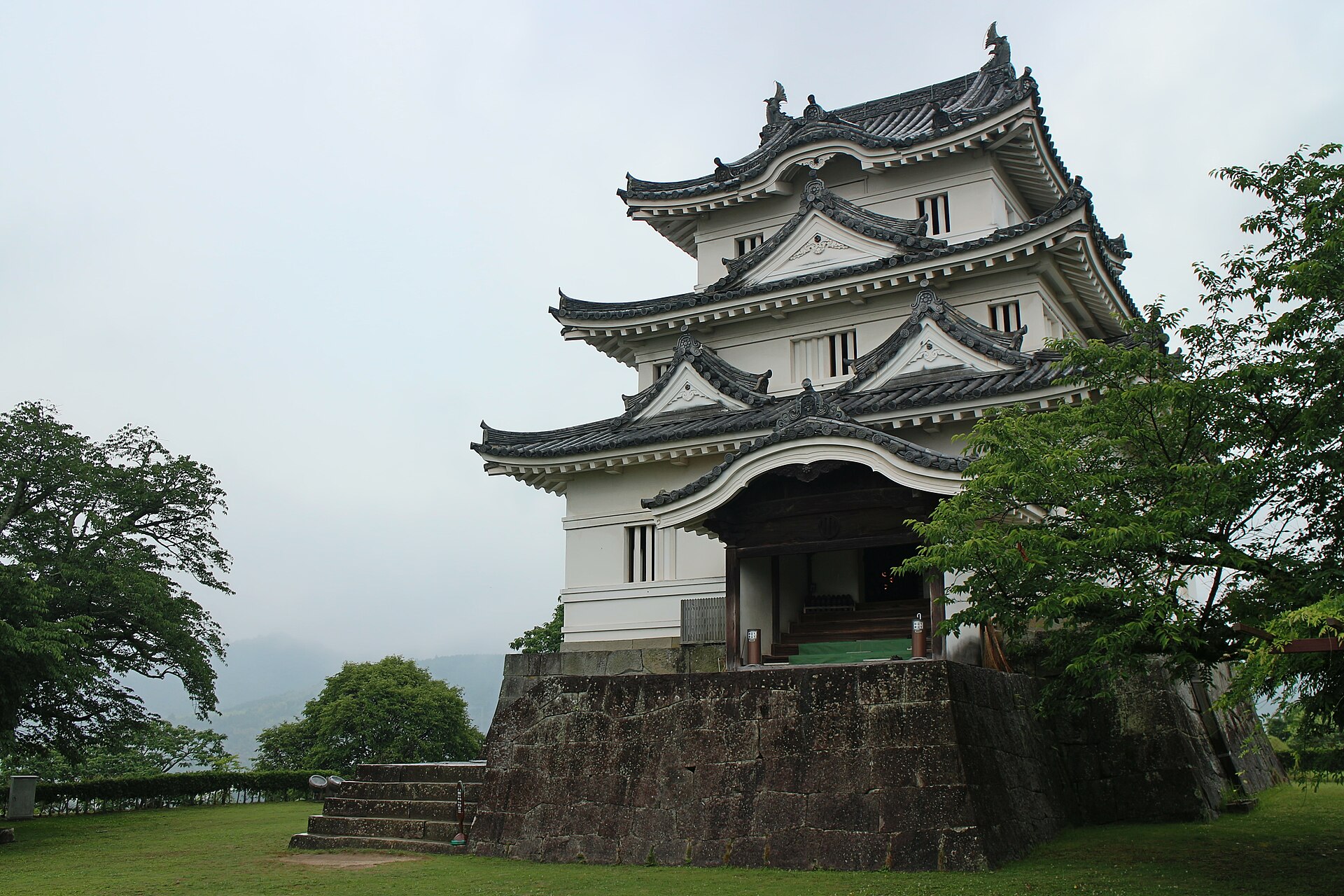
Uwajima Castle
8.9 km · straight line
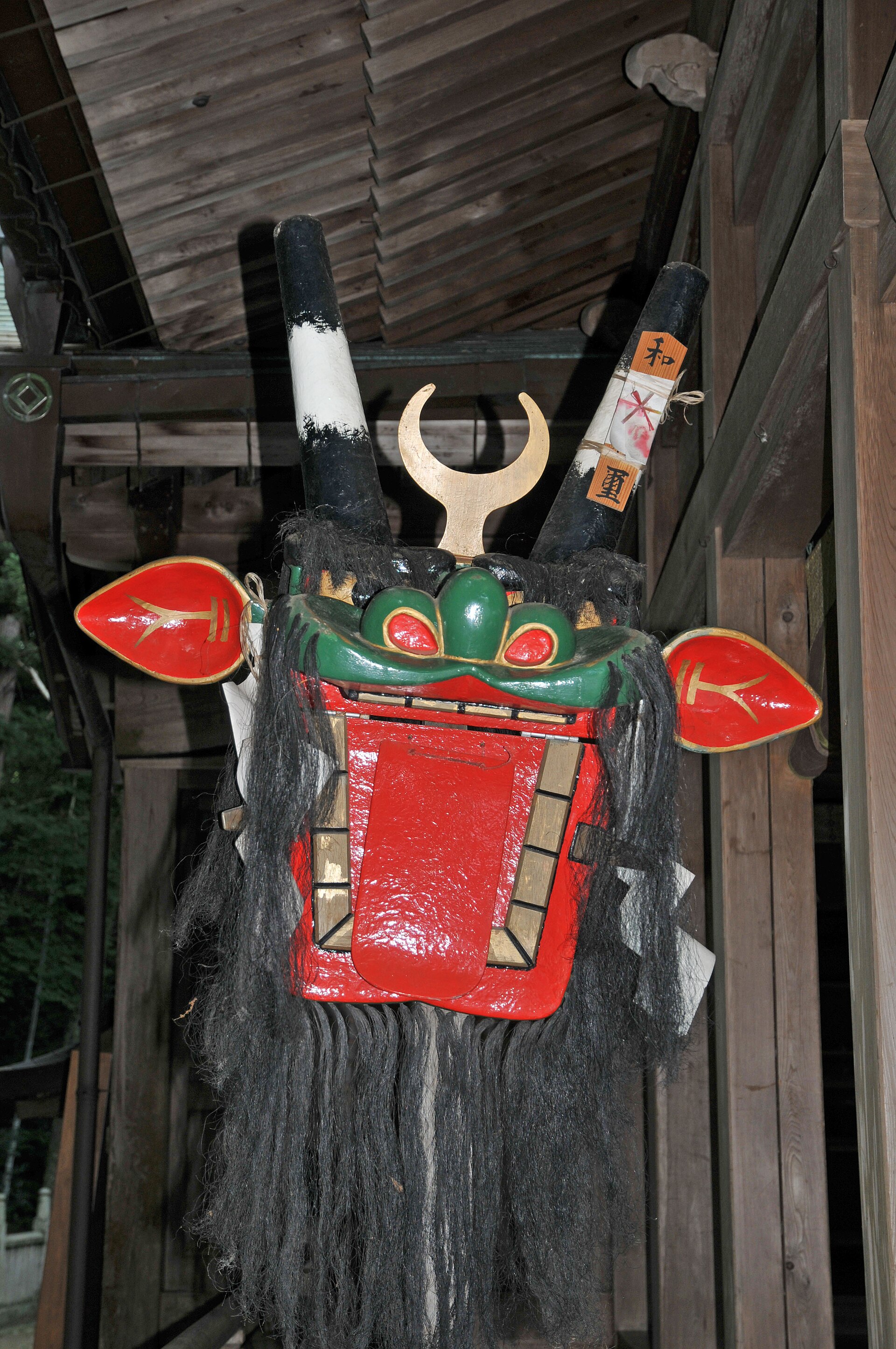 Reggaeman / CC BY-SA 3.0
Culture · Ehime★★
Uwajima Ushioni Festival
9.2 km · straight line
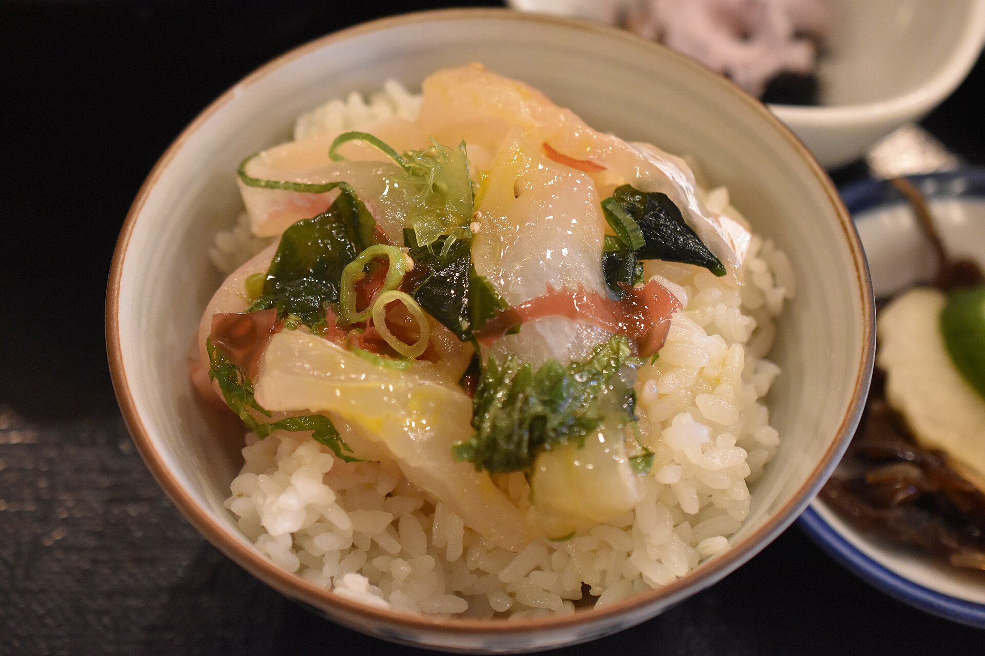 Fred Cherrygarden / CC BY-SA 4.0
Food · Ehime★★
Uwajima Taimeshi
9.6 km · straight line
Distances are straight lines on the map, not travel times.