South Ehime · UwajimaNo.550★★Open in map →
Uwajima Castle
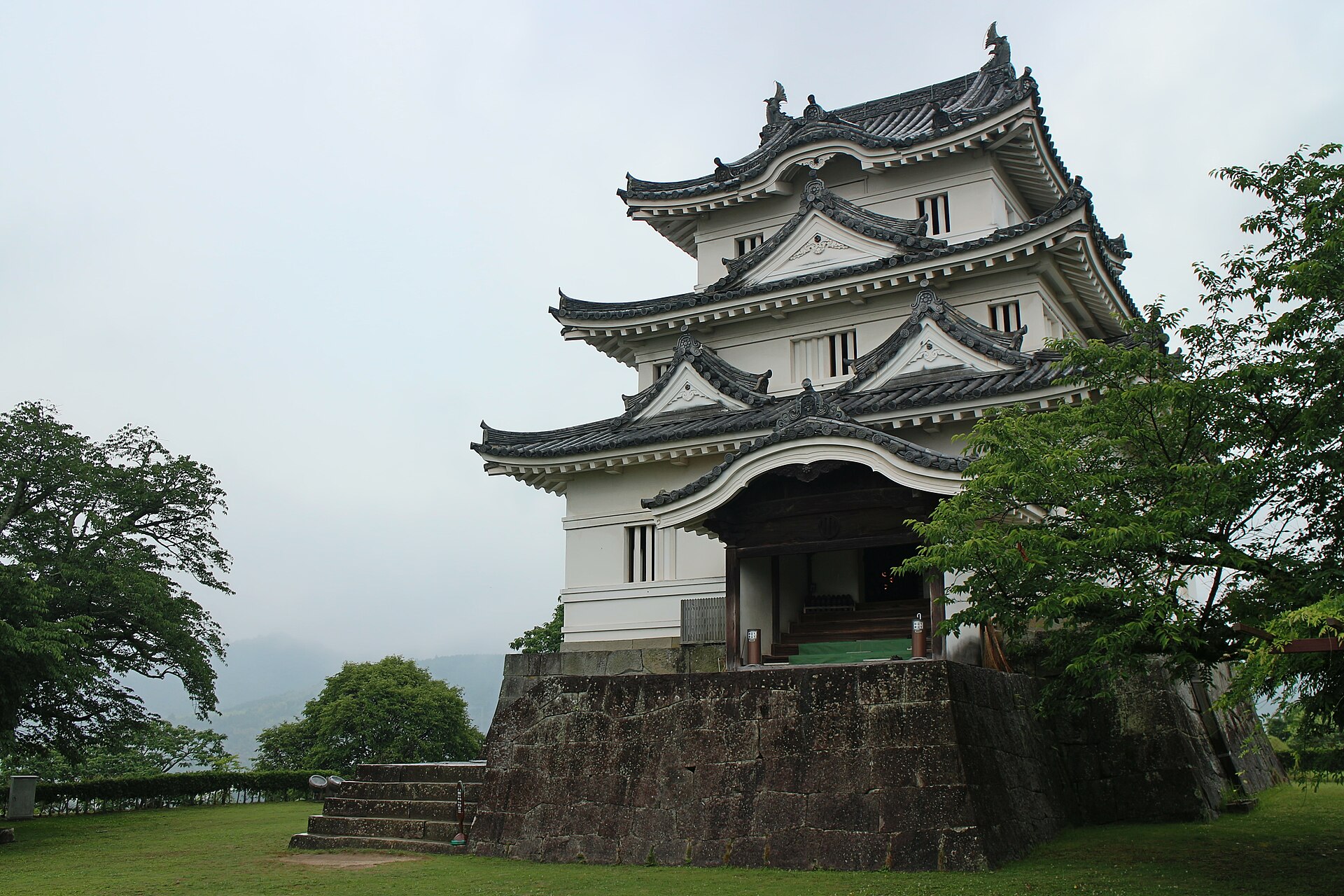
A hilltop castle in the middle of Uwajima, at the southern end of Ehime, whose keep is one of only twelve in Japan still standing from the samurai era. Todo Takatora laid out its walls, and the Date family held it until the shogunate fell.
- FromMatsuyama Station
- ~1 hr 20-30 minJR limited express Uwakai
- Get off atUwajima Station (JR Yosan Line)
- On foot
- Uwajima Castle
The sweet spot
This is a nationally designated monument with its own municipal website, not a secret. It is quiet for a plainer reason: it sits at the southern end of Ehime, well beyond Matsuyama, and most Shikoku itineraries stop at Matsuyama Castle and Dogo Onsen. The hill also absorbs people. Two entrances, several baileys and a climb long enough to spread everybody out mean you rarely queue for anything except the keep's door.
Where it is
29 more notes in Ehime · open the map →What to look for — in walking order
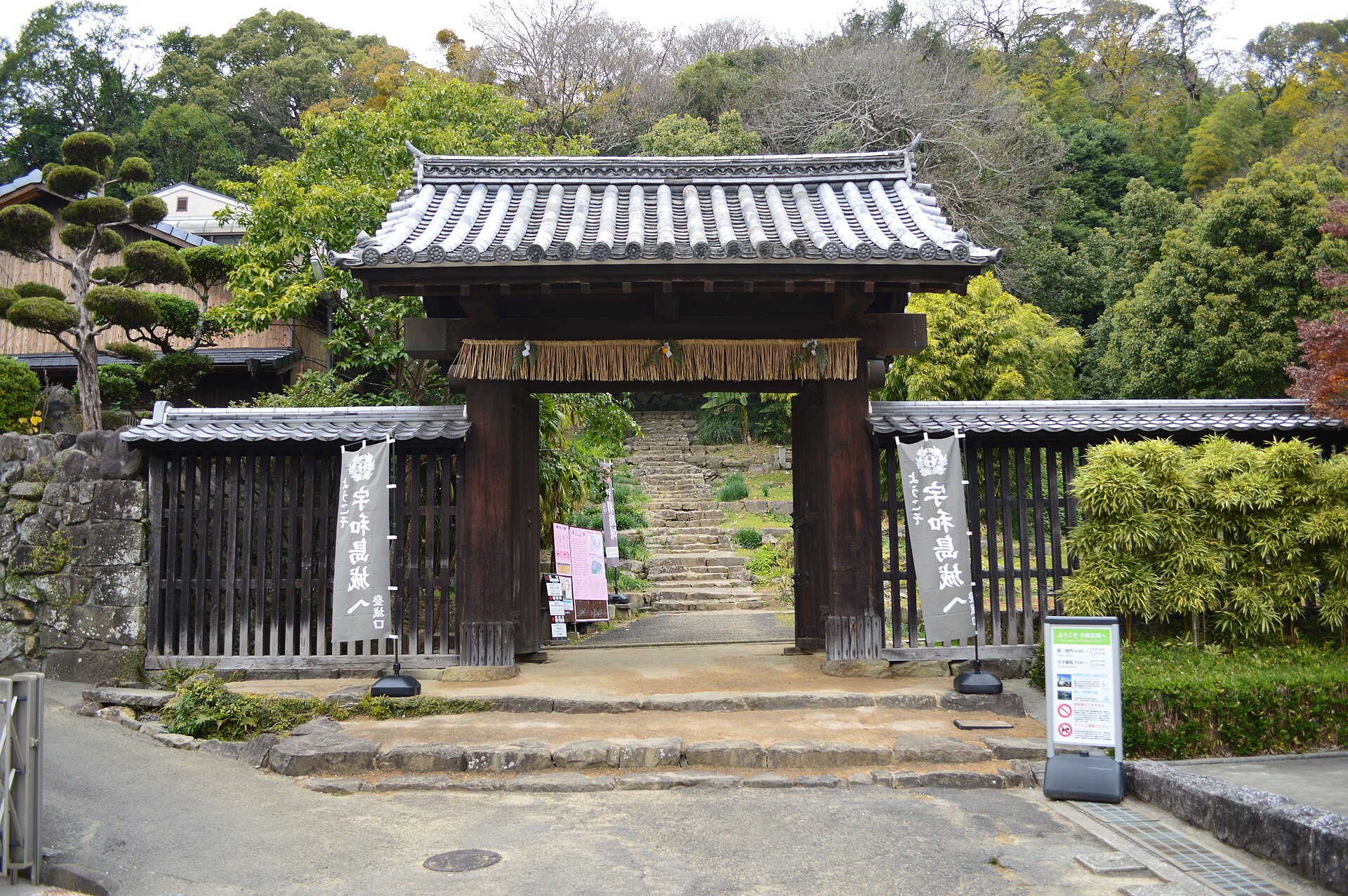
- Kori nagayamon at the north entrancethe retainers' long gate at the northeast foot of the hill, a city-designated property, currently scaffolded for repair
- The stone walls of the climbretaining walls built in different periods and for different purposes, under a long-running municipal repair programme
- The keepa three-tiered, three-storey tower in white plaster, with ornamental gables above a formal entrance porch
- Shiroyama Kyodokanan 1845 earthen storehouse raised in the third bailey as an armoury, now the hill's local museum
- Noboritachi-monthe surviving south gate, a yakuimon of the form used for samurai households
How to actually get there
- Matsuyama Station to Uwajima Station on the JR Yosan Line limited express Uwakai.
- Uwajima Station to the northern climbing entrance on foot, southwest through the town.
- Climb past the stone walls to the honmaru at the top, and go into the keep.
- Come down the south path past Shiroyama Kyodokan and out through Noboritachi-mon, then loop back to the station.
- JR limited express Uwakai from Matsuyama
- The Uwakai limited express runs from Matsuyama to Uwajima. Ehime's official travel site puts the journey at about 1 hour 20 minutes and the station's own record at roughly an hour and a half, so allow somewhere between the two. Most Uwakai services connect at Matsuyama with the Shiokaze and Ishizuchi expresses from Okayama and Takamatsu, which lets the whole trip be booked through.
- Return from Uwajima Station
- Walk back down to Uwajima Station and take the Uwakai north to Matsuyama. Uwajima is a staffed terminus with a ticket machine, coin lockers and a convenience store, all listed on JR Shikoku's station page, so a later return is easy to arrange on the spot. Read the departure board when you arrive rather than assuming a late service exists.
About the place
Uwajima Castle stands on a wooded hill in the middle of Uwajima, at the far southern end of Ehime. It is a hirayamajiro: the keep sits on high ground while the residences once spread across the flat below. Its ground plan is what specialists come for. Seen from above the enceinte is an irregular pentagon rather than the square a besieger would assume, and Uwajima City records the old story that the shogunate's own spies counted four sides instead of five. The tower on top is an original, never rebuilt in concrete. Between the gates and the summit almost everything is stone, in retaining walls from several different periods.
How to enjoy it
The climbing paths open early in the morning, hours before the keep does, so an early start puts the gates and the stone walls in low light and brings you to the summit about when the tower opens. Two routes go up, the north entrance nearest the station and the south entrance at Noboritachi-mon, so climbing one and descending the other turns the visit into a loop. Wear something you can take stone steps in, because the ascent is the walk rather than a bonus at the end of it.
Background & history
Todo Takatora, the most sought-after castle engineer of his day, built the castle between 1596 and 1601. It passed to the Date house early in the Edo period and stayed with them until the shogunate ended. The keep now standing is not Takatora's: it was rebuilt during the Kanbun era, in the 1660s and early 1670s, under the second Uwajima lord Date Munetoshi, and the official sources still disagree about the exact year it was finished. The keep was designated an Important Cultural Property in 1934, and the whole hill became a National Historic Site in 1937.
Before you go
- Cash
- Uwajima City lists the hill and its climbing paths as free of charge, so the gates, the baileys and the stone walls cost nothing to walk. Entry to the keep is paid at the door, and the municipal car park below the hill is charged by the hour, so carry cash for both.
- Good to know
- As shown on Uwajima City's castle pages in August 2026, the Kori family long gate at the north entrance is under repair into spring 2027, though the north path stays open on foot and only vehicles are turned away. On the south side the route from Noboritachi-mon up to Shiroyama Kyodokan has reopened, while the stretch linking the gate to the children's park is still closed. The hill's paths shut in the evening, and the surface is earth and worn stone that gets slippery in rain.
- Another way
- By road the castle is a short drive from the Uwajima-Asahi interchange, with a paid municipal car park at the foot of the hill. Coming from the Kochi side there is no need to go via Matsuyama at all, because the Yodo Line runs into Uwajima Station up the Shimanto river valley.
- After you get off
- From Uwajima Station it is about fifteen minutes on foot, roughly a kilometre southwest through the town, to the castle's northern climbing entrance. The path from there up to the keep takes about twenty minutes more, on stone steps and packed earth.
Nearby notes
 Fred Cherrygarden / CC BY-SA 4.0
Food · Ehime★★
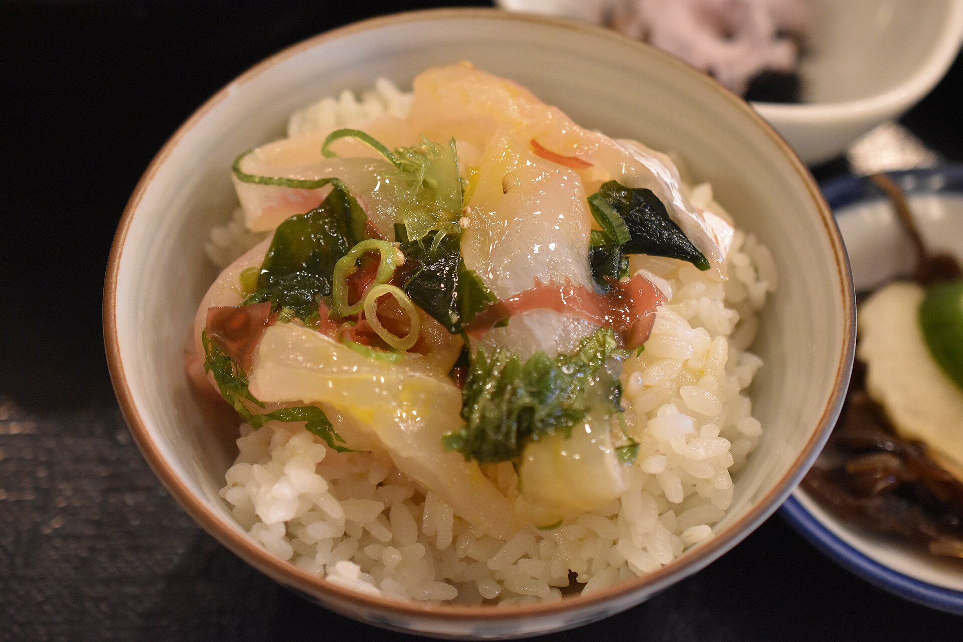
Uwajima Taimeshi
0.7 km · straight line
 ぺ有家音 / CC0
Culture · Ehime★★
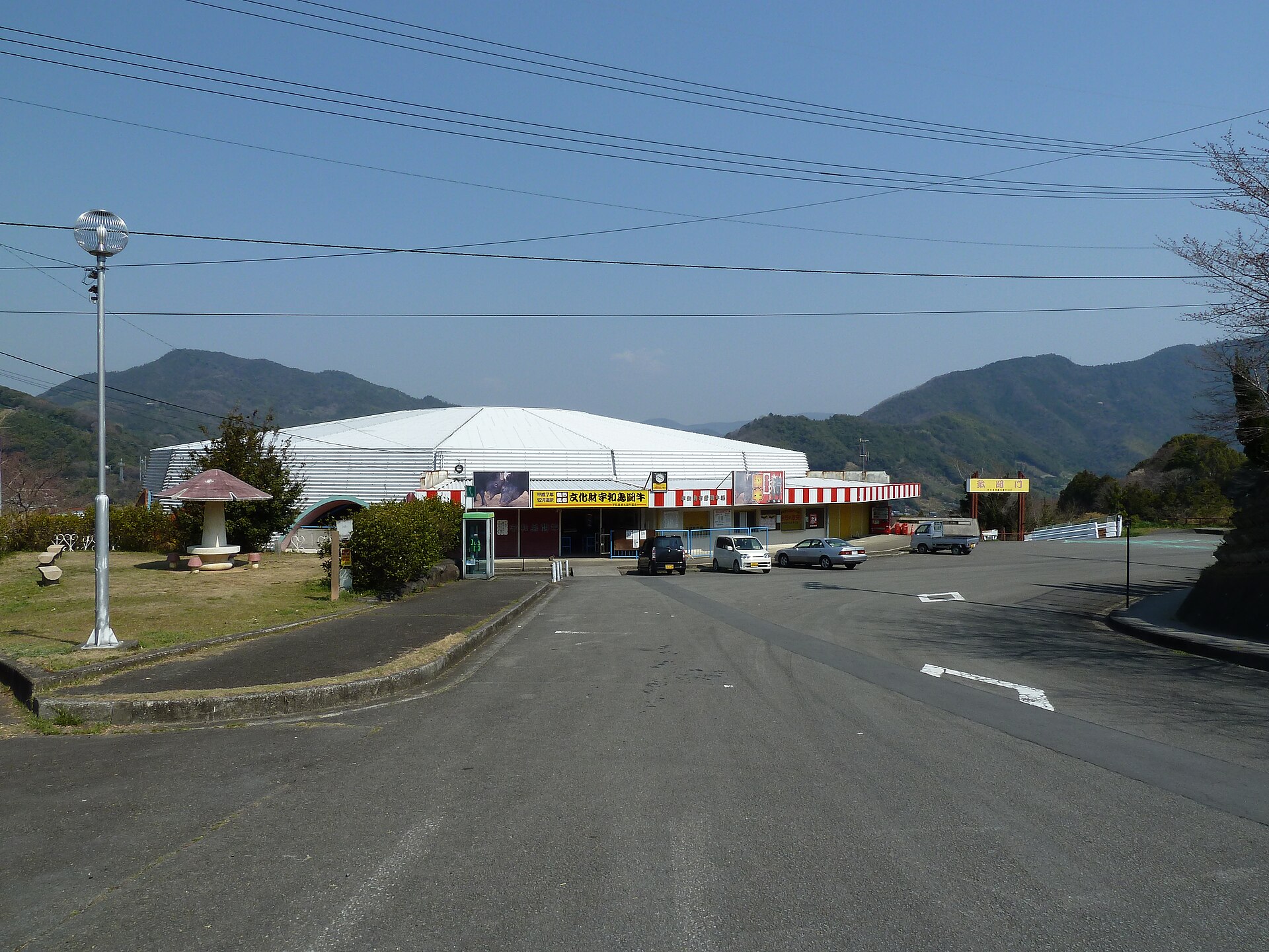
Uwajima Bullfighting
1.1 km · straight line
 Reggaeman / CC BY-SA 3.0
Culture · Ehime★★
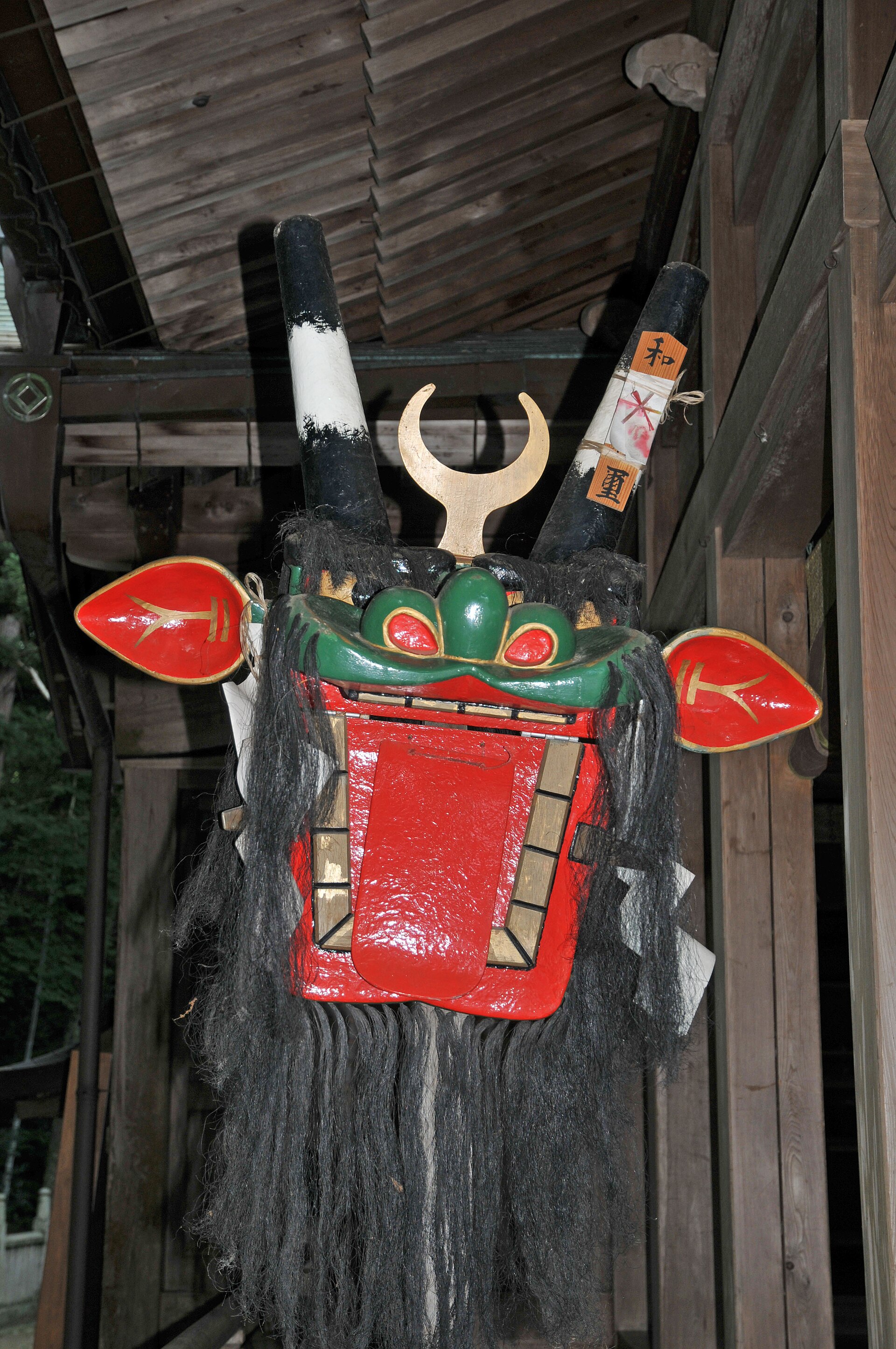
Uwajima Ushioni Festival
1.1 km · straight line
 Reggaeman / CC BY-SA 3.0
Craft · Ehime★★
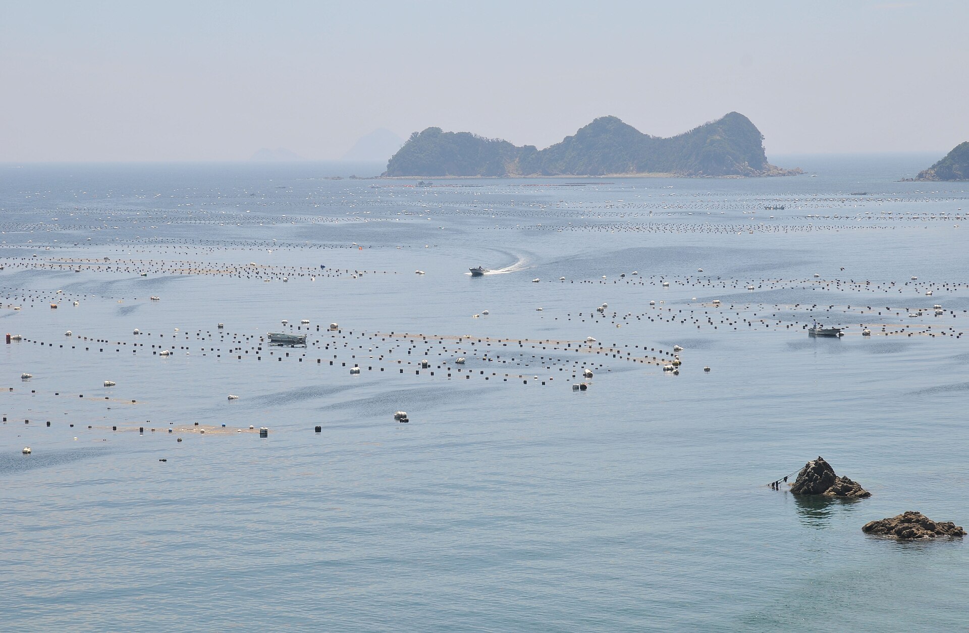
Uwa Sea Akoya Pearls
5.0 km · straight line
Distances are straight lines on the map, not travel times.