Central Kumamoto · YamatoNo.535★★★Open in map →
Tsujun Bridge
— A National Treasure stone aqueduct in the Kumamoto hills
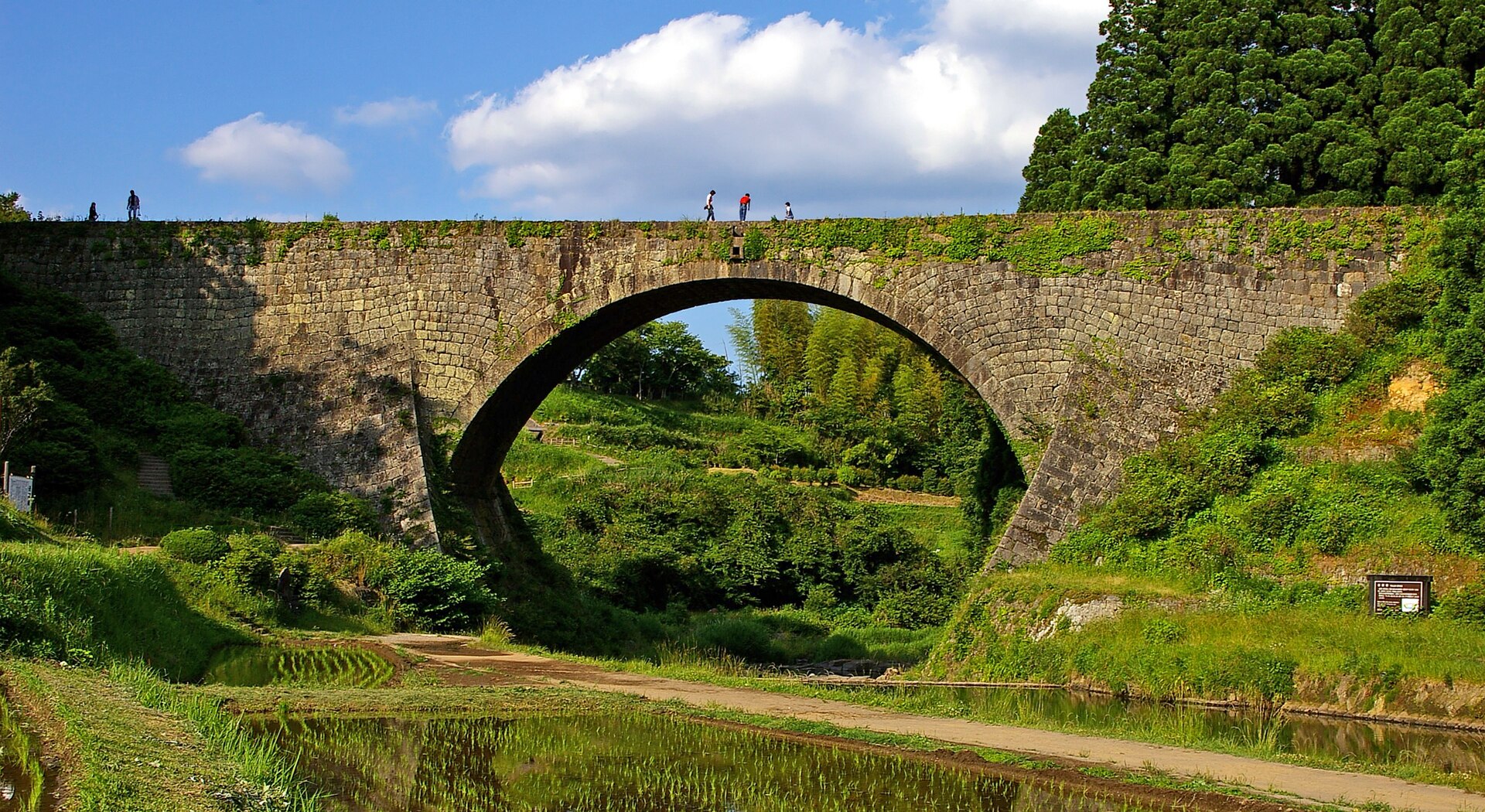
A stone arch aqueduct in the hills of Yamato, built to lift an irrigation supply across a gorge onto a dry plateau. It still carries water to the terraces below it, and on scheduled days the conduits are flushed in two long jets.
- FromKumamoto Sakuramachi Bus Terminal
- ~1 hr 30 minDirect local bus, no change
- Get off atTsujunkyo-mae bus stop (Kumamoto Bus M3-2)
- On foot
- Tsujun Bridge
Where it is
18 more notes in Kumamoto · open the map →What to look for — in walking order
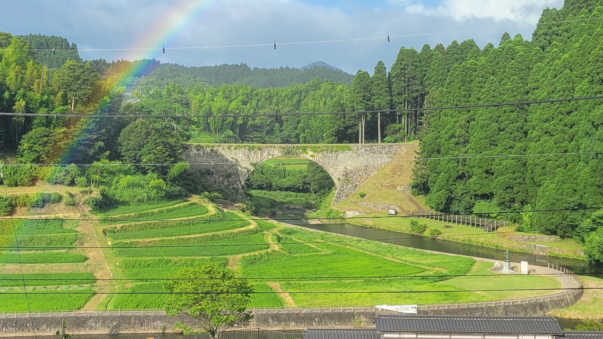
- Tsujunkyo Mieru Terracethe produce hall facing the gorge, and the first full view of the span
- The path down to the gorge floora track to the riverbed where the ring of the arch stands directly overhead
- The discharge outletsthe openings in the middle of the span that the flushing jets shoot from
- The Shiraito plateau terracesthe stacked paddy fields above the gorge that the conduits still supply
How to actually get there
- JR Kumamoto Station → Kumamoto Sakuramachi Bus Terminal (city bus about 7 min, or tram to Karashimacho about 12 min plus a 3-min walk).
- Sakuramachi Bus Terminal, bay 1 → Tsujunkyo-mae (Kumamoto Bus M3-2 for Tsujun Sanso, about 1 hr 30 min).
- Tsujunkyo-mae → Tsujunkyo Mieru Terrace and the front of the bridge (a short walk).
- Terrace → the path down to the gorge floor and back up in time for the discharge.
- Kumamoto Bus M3-2 toward Tsujun Sanso
- From bay 1 at Kumamoto Sakuramachi Bus Terminal, take the Kumamoto Bus M3-2 service bound for Tsujun Sanso and stay on it to Tsujunkyo-mae — about 1 hour 30 minutes, with no change on the way. To reach the terminal from JR Kumamoto Station, a city bus takes about 7 minutes, or the tram to Karashimacho takes about 12 minutes and then a 3-minute walk.
- Return from Tsujunkyo-mae
- The same M3-2 route runs back to Sakuramachi from the stop on the other side of the road. This is a rural service with only a few runs a day, so read the departure board when you arrive rather than when you are ready to leave. Hamamachi, the town centre a few stops on, has more connections if you miss one.
About the place
The bridge stands at Nagahara in Yamato, in the hills of central Kumamoto, thrown across the gorge of a small river. It is about 78 metres long, and its deck is not a road: three stone conduits run inside it and work as an inverted siphon, so the water climbs again on the far bank. The supply is taken from the Sasahara river some 6 kilometres upstream and carried on through channels totalling about 42 kilometres, watering roughly 100 hectares of the Shiraito plateau. The terraces stacked below the arch are fed by that same system today.
How to enjoy it
Time the visit to a discharge day. The flush is run to a published calendar rather than on demand, and the jets last only a few minutes, so arrive well before the listed time and choose your side of the gorge. On any other day the bridge is free to look at at any hour, and the walk under the arch is the better half of it anyway.
Background & history
The Shiraito plateau is built of volcanic ash and drains too fast to hold rain, so the villages on it went short of water. In 1854 the district headman Futa Yasunosuke had the aqueduct built by Higo stonemasons to bring a supply across the gorge from higher ground. Flushing the conduits, which is what the famous discharge is, clears the silt that settles inside them. The bridge was designated an Important Cultural Property in 1960 and raised to National Treasure in 2023.
Before you go
- Cash
- Looking at the bridge from the valley and from the terrace in front of it costs nothing, and there is no gate or closing time. Walking on the deck is a paid extra — 500 yen for high-school age and above, 200 yen for primary and junior-high pupils — with the pass sold at Tsujunkyo Mieru Terrace facing the span. Parking is free.
- Good to know
- Deck access is suspended for the whole of 2026 while earthquake damage to the structure is assessed; the discharges themselves resumed in mid-August after test flows through the conduits. Individual discharge dates are also called off at short notice for weather or safety. The official site posts both, so check it on the morning you travel.
- Another way
- By car, the Kyushu Chuo Expressway runs to the Yamato-Tsujunkyo interchange a few minutes from the bridge. From Fukuoka the drive is about 1 hour 30 minutes by way of Dazaifu IC and the Kashima junction, and from Aso Kumamoto Airport it is roughly 40 minutes on prefectural roads.
- After you get off
- The Tsujunkyo-mae stop is on the main road a short walk from the bridge. Head for Tsujunkyo Mieru Terrace, the produce hall facing the span, and take in the view from there first; the track down to the gorge floor starts beside it.
Nearby notes
 Raita Futo / CC BY 2.0
Nature · Kumamoto★★★
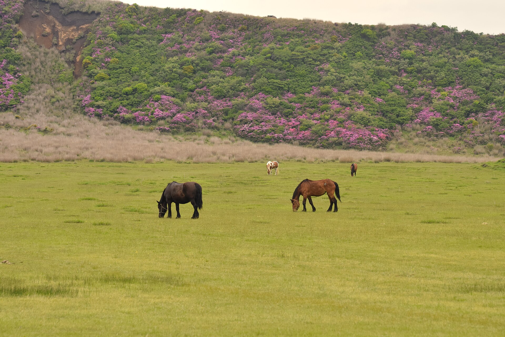
Kusasenri Plain
23.0 km · straight line
 Ann Lee / CC BY-SA 2.0
History · Kumamoto★★
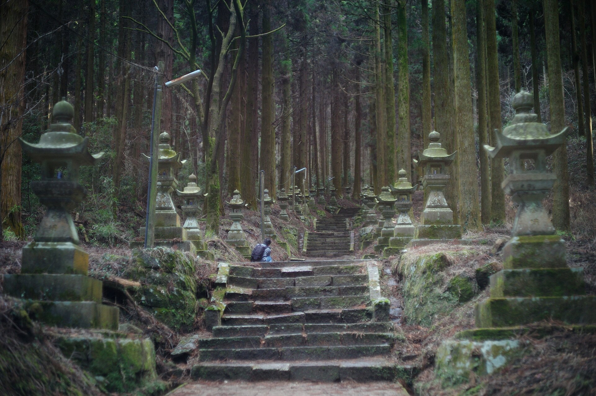
Kamishikimi Kumanoimasu Shrine
24.6 km · straight line
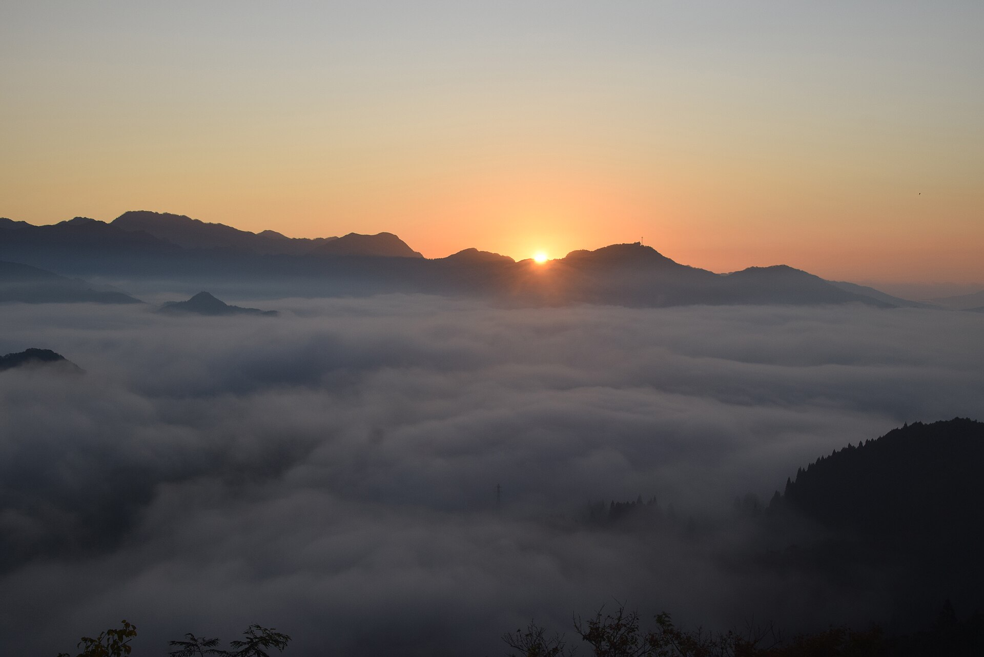 Yoshi Canopus / CC BY-SA 4.0
Nature · Miyazaki★★
Kunimigaoka
26.9 km · straight line
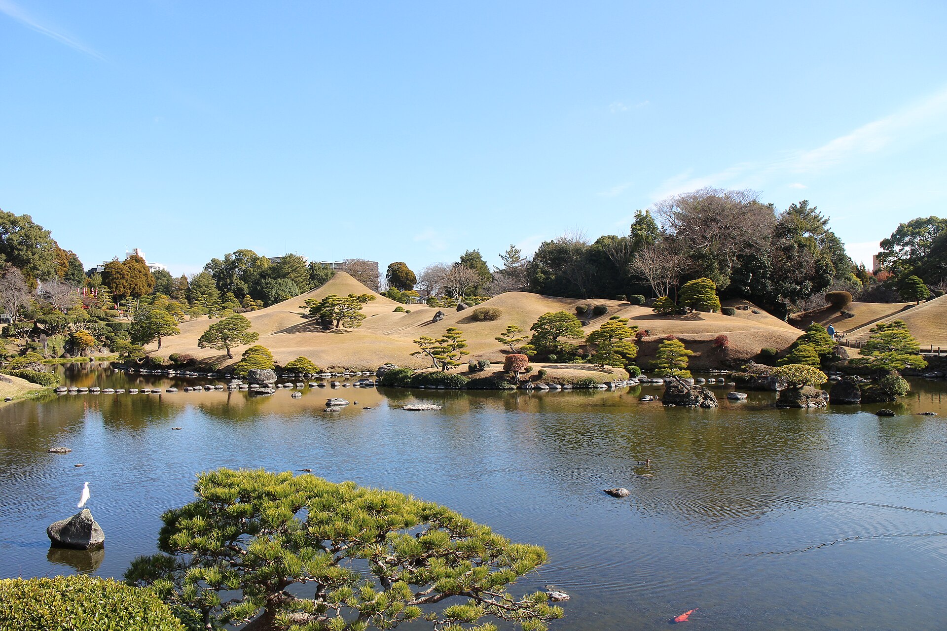 Suicasmo / CC BY-SA 4.0
Culture · Kumamoto★★
Suizenji Jojuen Garden
27.1 km · straight line
Distances are straight lines on the map, not travel times.