Aomori · TsurutaNo.842★★Open in map →
Tsuru no Mai Bridge
— Japan's longest three-arch wooden bridge
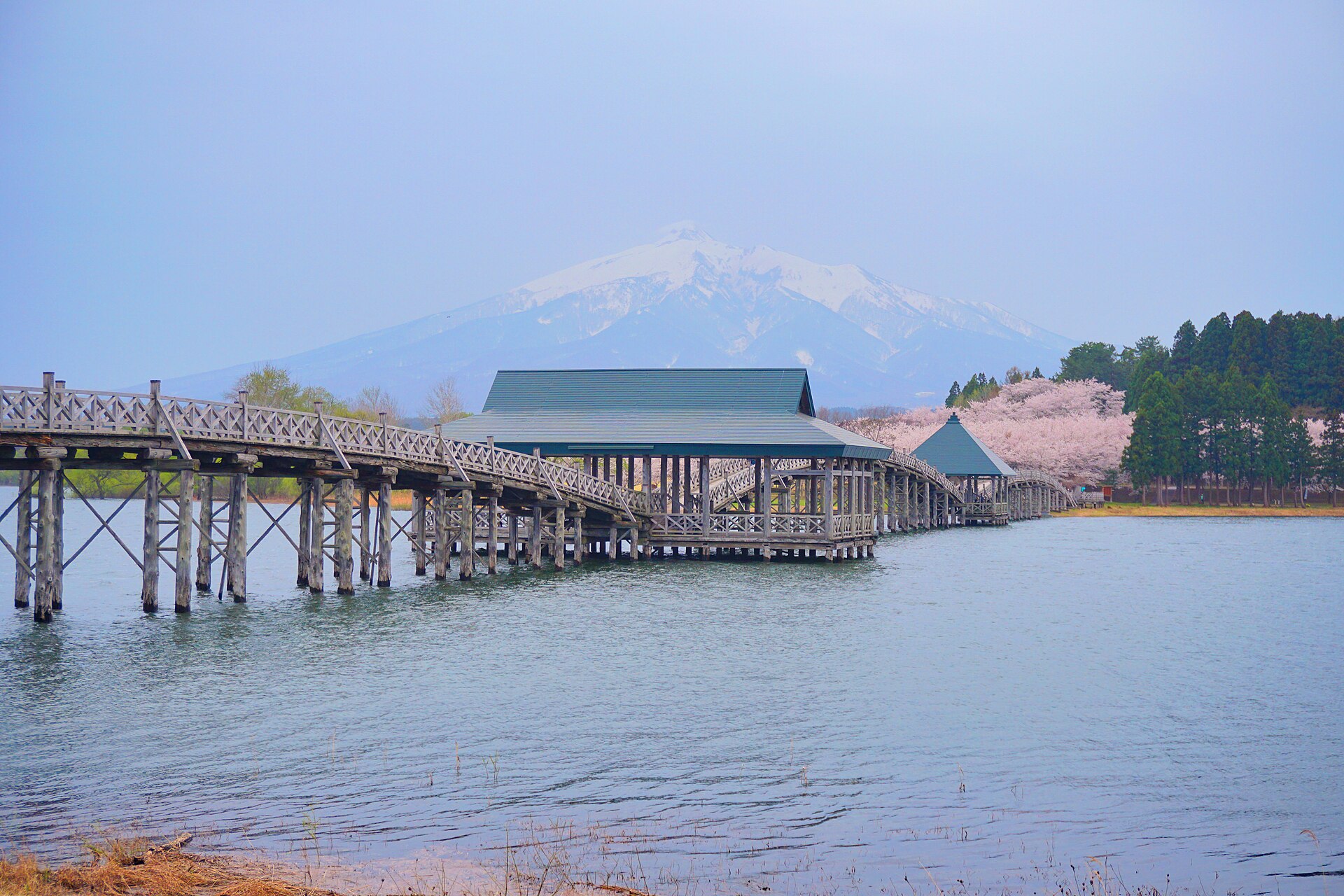
Three linked wooden arches, built from Aomori cypress, cross an irrigation reservoir west of Hirosaki with Mount Iwaki standing behind them. The crossing is free, the deck has just been rebuilt after a long closure, and the bridge now stays open through the winter as well.
- FromHirosaki Station
- ~50 minJR Gono Line, then taxi
- Get off atMutsu-Tsuruta Station (JR Gono Line)
- From there
- Tsuru no Mai Bridge
The sweet spot
This is a well-known picture in Aomori, printed on the town's own posters, not a discovery. What thins the crowd is access. The local bus route to the lake was withdrawn years ago, so anyone arriving without a car takes a taxi from a small station on the Gono Line, and most day trips from Hirosaki skip it for that reason alone.
Where it is
34 more notes in Aomori · open the map →What to look for — in walking order
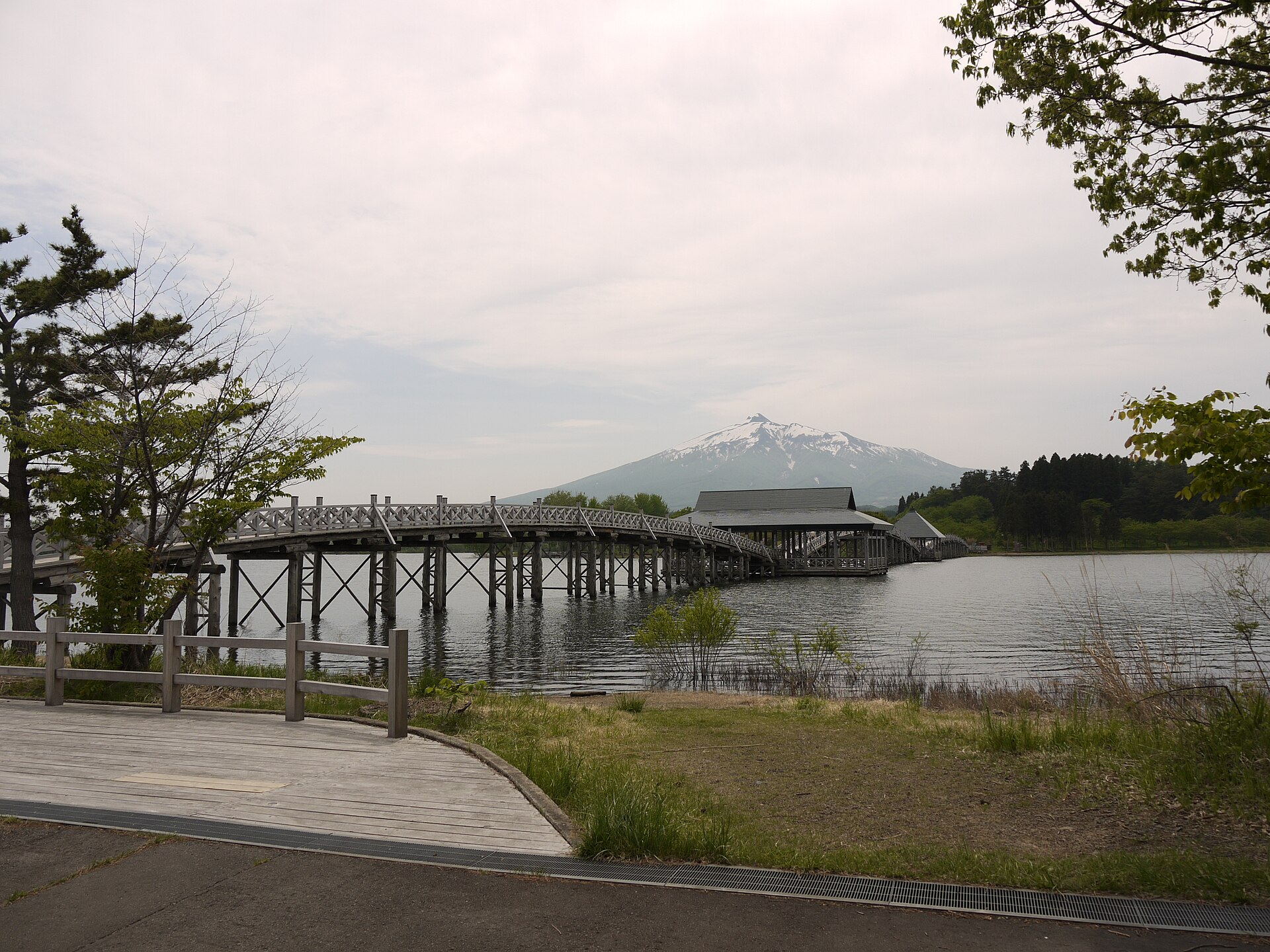
- Fujimiko Parkthe free lakeside park at the western end, with the bridge's approach and the town's rest building
- The hiba pilesrows of cypress trunks standing in the shallows, best seen from the bank before you step on
- The roofed platformstwo shelters at the joints of the arches, read as the crane's body in the bridge's name
- The Mount Iwaki viewthe mountain framed beyond the far arch and mirrored on the water when the air is still
- Tancho Crane Parkthe town's red-crowned crane enclosure on the opposite shore, which the bridge connects to the park
How to actually get there
- Hirosaki Station to Mutsu-Tsuruta Station (JR Gono Line via Kawabe, about 40 min).
- Mutsu-Tsuruta Station to Fujimiko Park (taxi, about 10 min — no bus serves the lake).
- Cross the three arches to the crane park on the far shore, pausing at the roofed platforms.
- Walk back the way you came, which is the direction that puts Mount Iwaki in front of you.
- Gono Line to Mutsu-Tsuruta, then taxi
- From Hirosaki Station take a Gono Line service, some of which run through from the Ou Main Line via Kawabe, as far as Mutsu-Tsuruta. Allow about forty minutes. From the station it is roughly ten minutes by taxi to Fujimiko Park at the foot of the bridge.
- Return from Mutsu-Tsuruta Station
- Arrange the return taxi before you cross, or ask at the town's tourist information desk to call one, because no bus serves the lake. Gono Line trains back towards Hirosaki are widely spaced, so fix the return train first and work backwards from it.
About the place
The bridge runs 300 metres in three linked arches across Tsugaru Fujimi-ko, the local name for the Mawarizeki reservoir. It is built from first-grade Aomori hiba cypress and stands on some 700 piles cut from trees at least 150 years old. Two roofed platforms sit at the joints between the arches, and they are where the name comes from: read the platforms as a crane's body and the arches become its outspread wings. The reservoir behind it is the largest artificial lake in Aomori, and Mount Iwaki, the mountain the Tsugaru plain calls its own Fuji, closes the far end of the view.
How to enjoy it
The crossing is short, so treat the bridge as the middle of a loop rather than the destination: park, bridge, crane enclosure, back. Still air matters more here than time of day, because the reflection is the picture and any wind flattens it whatever the light is doing. Coming by train, allow for the taxi in both directions and ask the driver to return for you.
Background & history
The reservoir was dug in 1660, when the fourth Tsugaru lord dammed the natural flow off Mount Iwaki to irrigate new rice fields to the west. Floods breached the embankment repeatedly over the following centuries, and the present bank, the longest of its kind in Japan, was completed in the twentieth century under a national works programme. The bridge is far younger. It opened in 1994, built as part of a prefectural scheme to turn a working irrigation site into somewhere people would come and stand. A three-year renovation has since replaced its deck and reinforced the piles.
Before you go
- Cash
- The bridge and Fujimiko Park are both free. Beyond the train fare, the taxi from Mutsu-Tsuruta is the cost to plan for, and it is worth agreeing the pick-up when you are dropped off.
- Good to know
- The bridge reopened in spring 2026 after a renovation that replaced the deck and reinforced the piles, and it is now passable through the winter as well. It is fully exposed over open water, so wind and driving snow set the real limits rather than any gate.
- Another way
- By car it is about fifteen minutes from Goshogawara and about fifty minutes from Aomori city, which makes the bridge easy to fold into a day of driving around the Tsugaru plain rather than a trip of its own.
- After you get off
- Mutsu-Tsuruta Station has no bus to the lake, so take a taxi from outside the station building. You are set down at Fujimiko Park, and the bridge begins at the end of the lawn.
Nearby notes
 掬茶 / CC BY-SA 3.0
Culture · Aomori★★
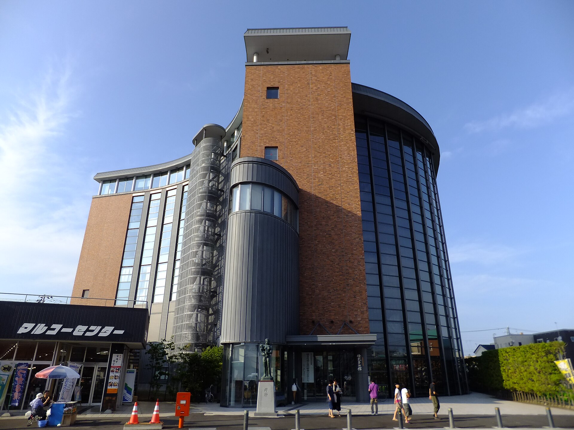
Tachineputa Hall
8.6 km · straight line
 雷太 / CC BY 2.0
History · Aomori★★
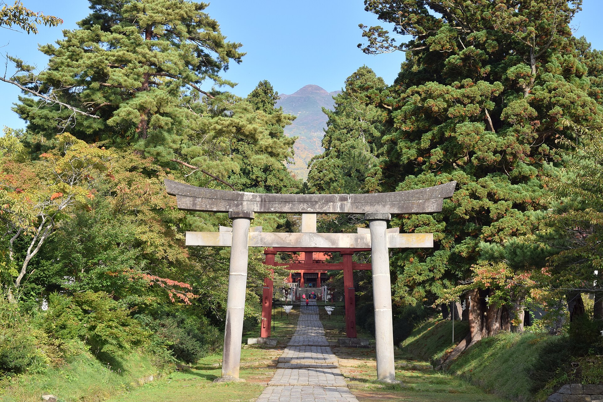
Iwakiyama Shrine
14.8 km · straight line
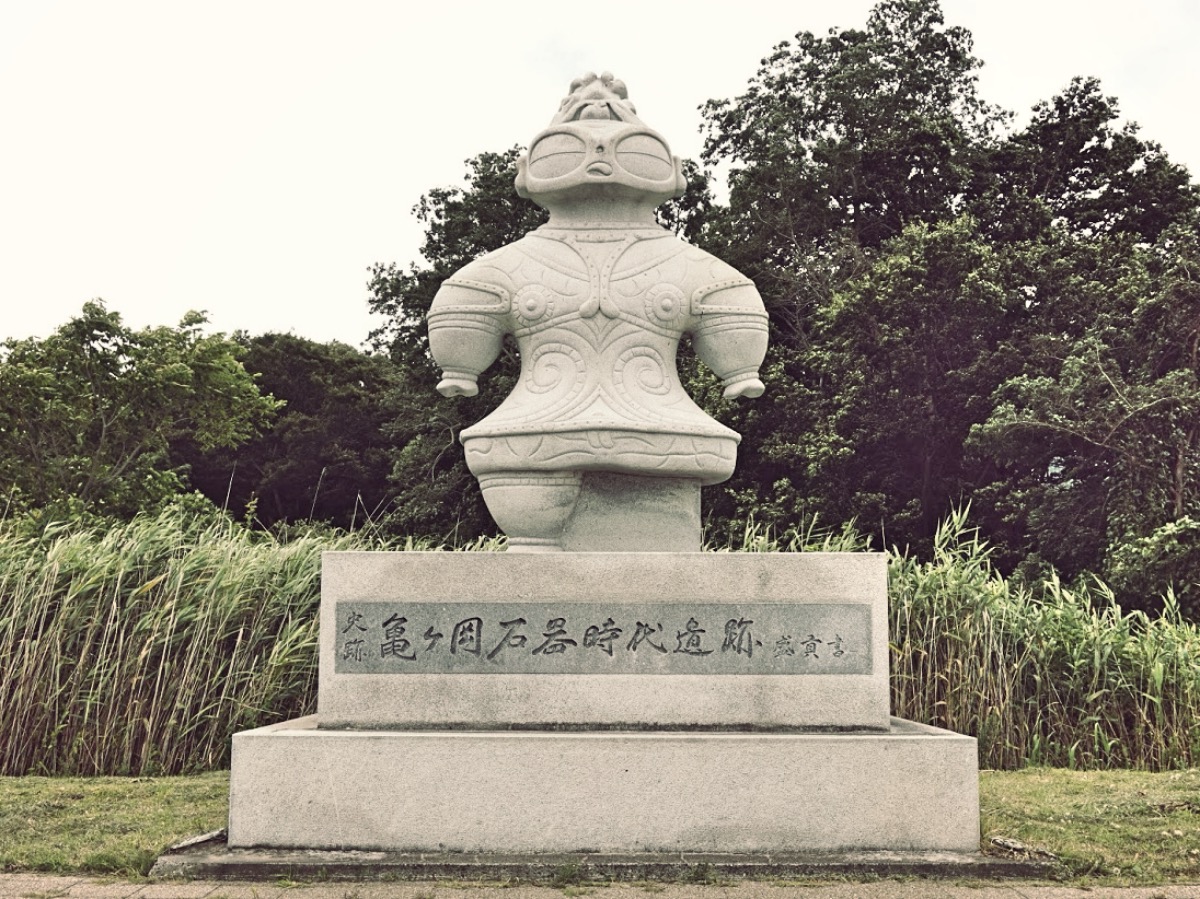 MChew / CC BY-SA 4.0
History · Aomori★★
Kamegaoka Stone Age Site
15.1 km · straight line
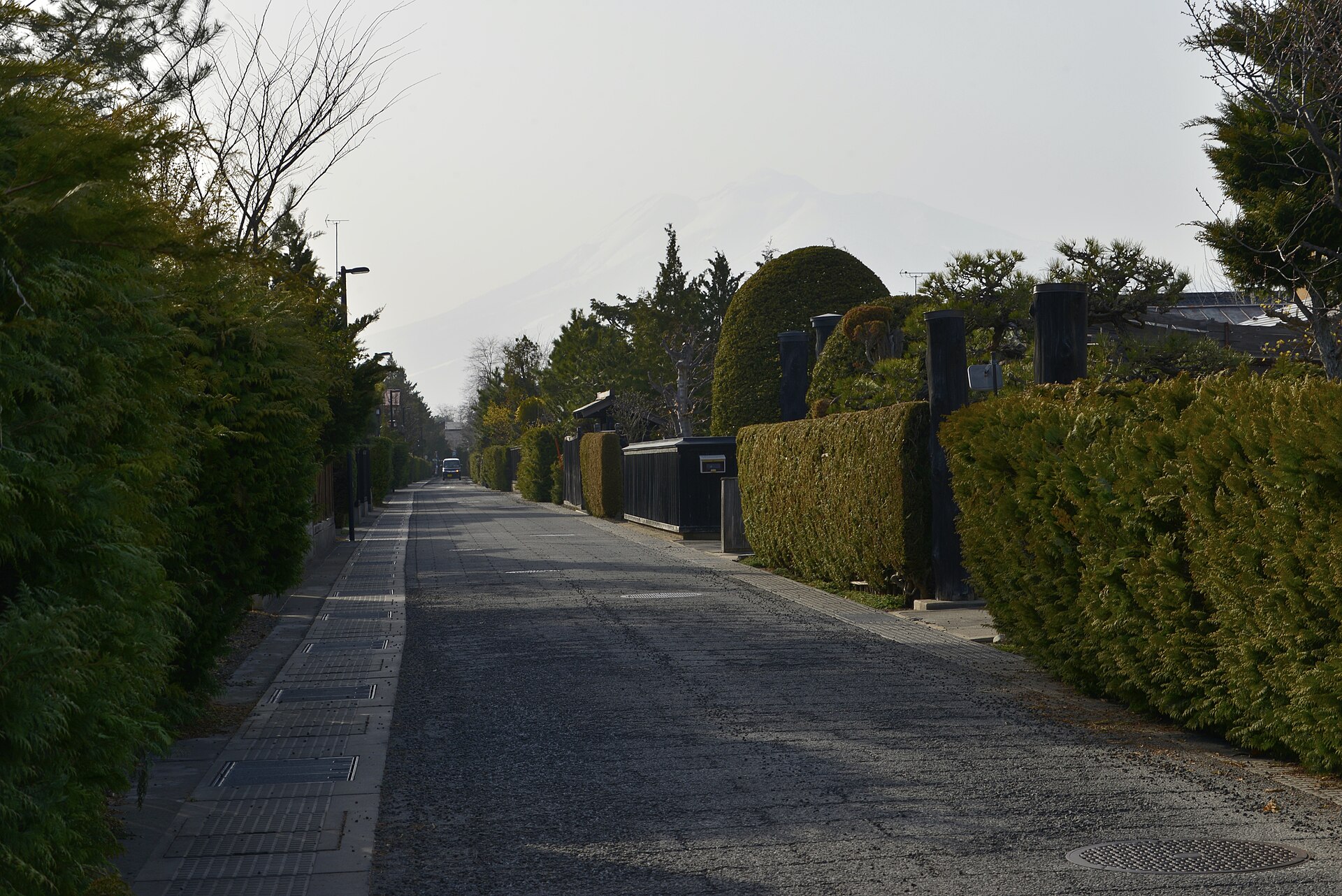 皓月旗 / CC BY-SA 4.0
History · Aomori★★
Hirosaki Nakacho Samurai District
17.2 km · straight line
Distances are straight lines on the map, not travel times.