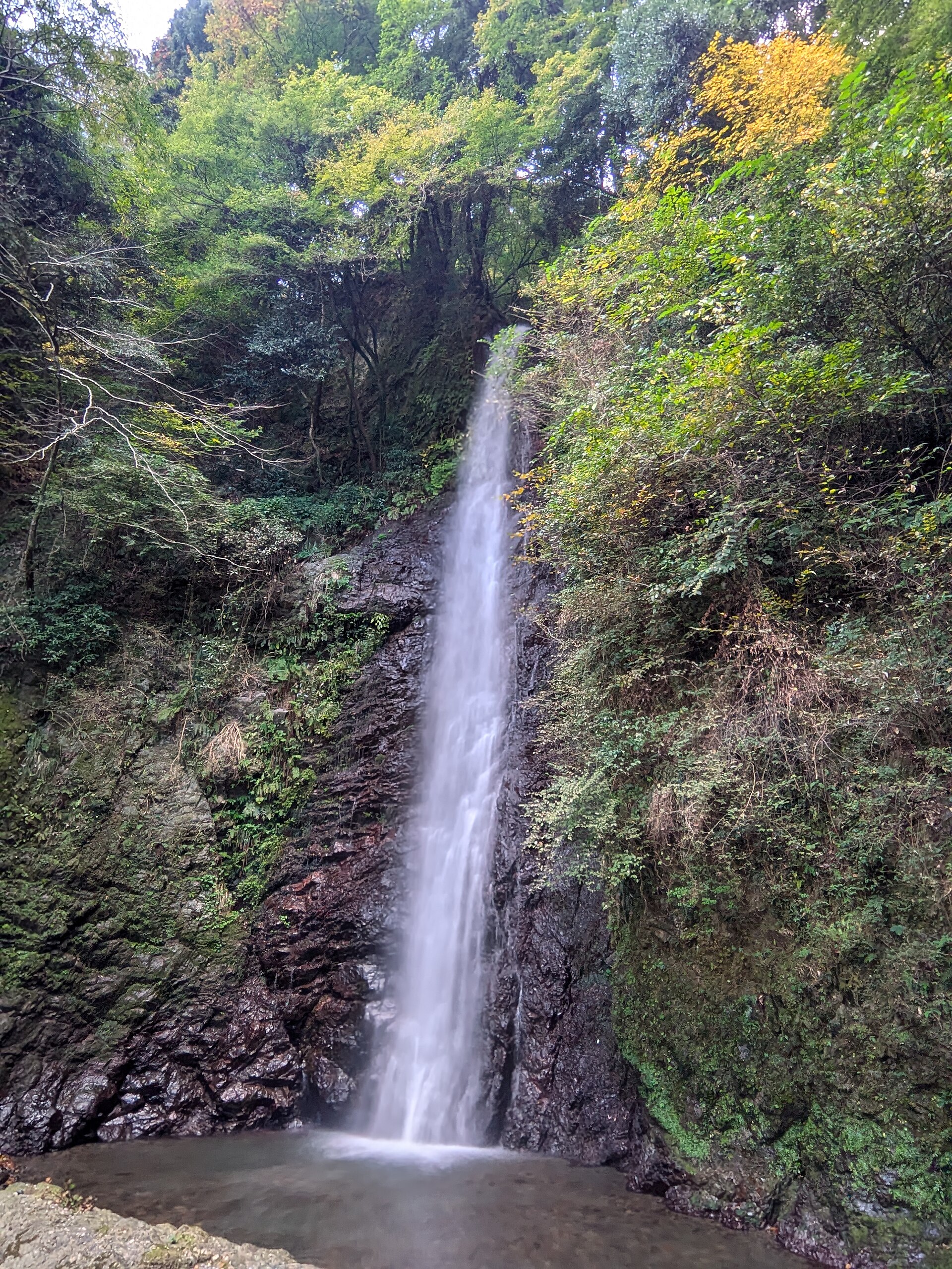
West Gifu · YoroNo.1111★★Open in map →
Yoro Falls
A waterfall in a prefectural park in western Gifu, on the national list of a hundred notable falls. It is not a roadside view. The last stretch is a steady climb up a wooded stream valley, and that walk is most of the visit.
- FromYoro Station (Yoro Railway Yoro Line)
- ~50 min on footYoro Railway, then uphill on foot
- Yoro Falls
The sweet spot
Nothing here is hidden. There are signs, car parks, a shrine and a food hall on the way up, and the fall is on the national list of notable waterfalls. What shapes a visit is the gradient rather than the crowd. The park's own guidance says the way from the car park to the fall is a steady climb, entirely in the open, and that the path turns slippery when the weather does. Come expecting a walk with a waterfall at the end, not a viewpoint you park beside.
Where it is
18 more notes in Gifu · open the map →What to look for — in walking order
- Site of Reversible Destinythe park's art landscape by Shusaku Arakawa and Madeline Gins, met first on the way up
- The Takidani patha made path beside the stream, climbing without a break from the falls-entrance car park
- Yoro Shrinethe shrine in the trees below the fall, marked as a sight on the official park map
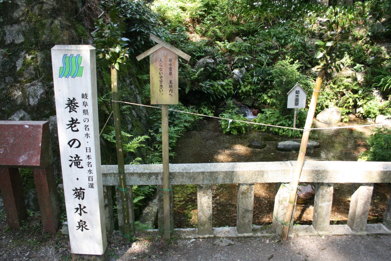
- Kikusui-senthe spring in the shrine grounds, the water at the centre of the era-name story
- The plunge poolthe viewing point directly under the drop, close enough for spray on a windy day
How to actually get there
- JR Ogaki Station → Yoro Railway Yoro Line toward Kuwana → Yoro.
- Walk west out of Yoro Station to the Yoro Park entrance.
- Carry on up the valley past the Site of Reversible Destiny to the falls-entrance car park.
- Climb the streamside path past Yoro Shrine and Kikusui-sen to the pool under the fall.
- Ogaki, then the Yoro Railway
- JR Ogaki Station is the gateway, and the Yoro Railway's own line leaves from the same station. Take a train toward Kuwana and get off at Yoro, about twenty-five minutes on the operator's published timetable, with departures roughly every forty minutes through the middle of the day. Yoro Station is staffed, so a ticket can be bought at the window rather than from a machine.
- Fix the return train before you climb
- Trains from Yoro back toward Ogaki run into the late evening, the last one leaving in the ten o'clock hour on the current timetable. Gaps are as long on the way home as on the way out, so a train missed here costs more than one missed in a city. Decide which train you are taking before you start up the valley, and allow for the descent as well as the climb.
About the place
The fall drops about thirty metres down a rock wall at the head of the Takidani stream, in a channel roughly four metres wide. It comes down in one drop rather than in stages, and the pool beneath it is small enough that spray reaches the viewing point when the wind turns. The valley lies inside Yoro Park, a prefectural park on the eastern slope of the Yoro mountains, and the fall marks the far end of it rather than the entrance. The way up is a made path, not a mountain trail. What it is instead is uphill, the whole way, with no roof anywhere between the car park and the pool.
How to enjoy it
From the falls-entrance car park it is 1.2 kilometres and about thirty minutes on foot, and all of it goes up. A second car park sits closer to the fall and cuts the walk to a few minutes, so choose which one you are aiming for before you set out rather than at the junction. The park asks for shoes you can climb in, and the reason is the surface rather than the distance.
Background & history
The name of this valley came from a court visit. In 717, the third year of Reiki, Empress Gensho travelled here to see a spring said to restore the old, and afterwards changed the era name to Yoro, meaning to nourish age. The spring belongs to a story told in these villages about a woodcutter too poor to buy sake, who carried water home that his father drank as wine. Kikusui-sen, the spring in the grounds of Yoro Shrine below the fall, is named with the fall itself on the national list of famous waters.
Before you go
- Cash
- Yoro Station is staffed and has lockers, so a bag can be left rather than carried up the valley. Carry cash: this is a small local railway and a hillside park rather than a city centre. The park's own access page lists the park-managed car park as free, while the lot nearest the fall is a paid one.
- Good to know
- Every part of the route is in the open air. The park warns that the path gets slippery when the weather turns and asks visitors for clothes and shoes they can move in, which is worth taking literally, because there is nowhere to shelter between the car park and the pool.
- Another way
- By car the park is about ten minutes from Yoro IC on the Tokai-Kanjo Expressway, which is how most Japanese visitors arrive. From Nagoya by train, change to the Tokaido Line for Ogaki and pick up the Yoro Railway there. The line also runs up from Kuwana in the south, so Yoro can be reached from the Mie side without going through Ogaki at all.
- After you get off
- From Yoro Station the park entrance is ten minutes on foot and the fall about fifty, so the station-to-fall stretch is the larger part of the day. Head west out of the station, away from the plain, and keep to the road that climbs toward the mountains. There is no taxi rank at the station, so if you would rather start higher up, call a taxi in advance.
Nearby notes
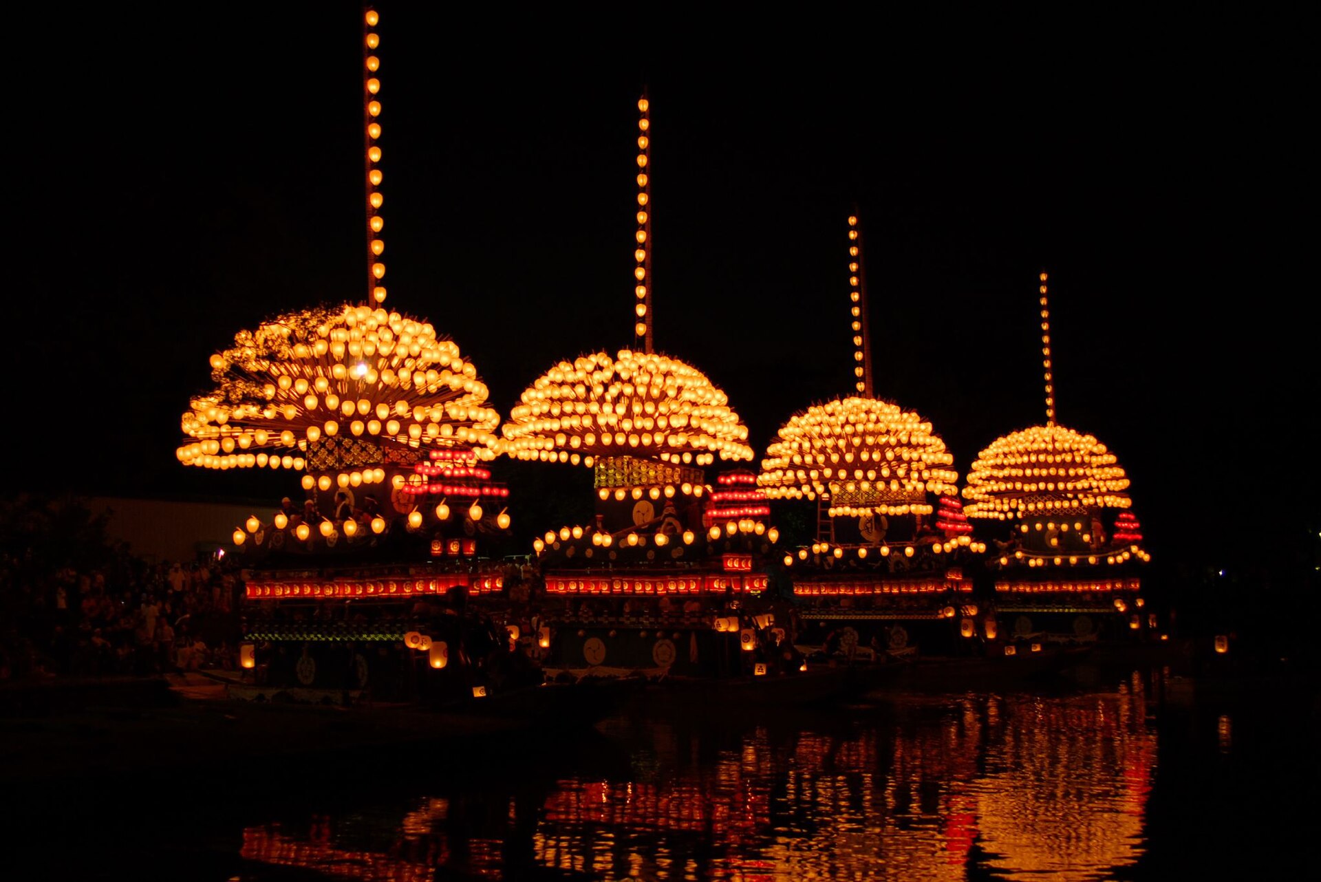 tsuda / CC BY-SA 2.0
Culture · Aichi★★
Owari Tsushima Tenno Festival
20.2 km · straight line
 illustration (AI-illustrated)
Food · Shiga★
Taga Taisha's Ema-dori Approach
23.3 km · straight line
 KKPCW / CC BY-SA 4.0
Culture · Aichi★★
Konomiya Hadaka Matsuri
24.7 km · straight line
 Kyoww / CC BY-SA 4.0
Local life · Shiga★
Kawaramachi-Serimachi
25.4 km · straight line
Distances are straight lines on the map, not travel times.