East Naha · ShuriNo.1018★★★Open in map →
Awamori of Shuri Sanka
— Where Okinawa's rice spirit was born
The three Shuri neighbourhoods where the Ryukyu court licensed all awamori making: Sakiyama, Akata and Torihori. They are ordinary residential lanes today, a short walk west of Shuri Station and folded around the castle's south and east walls.
- FromNaha Airport Station
- ~30 minYui Rail monorail, then a walk
- Get off atShuri Station (Yui Rail)
- On foot
- Awamori of Shuri Sanka
Where it is
41 more notes in Okinawa · open the map →What to look for — in walking order
- Torihorithe eastern village of the three, the first you reach from Shuri Station
- Akataa middle quarter of narrow lanes, stone walls and house gates
- Sakiyamathe southern village, spread on the slope below the castle's south side
- Sakiyama Hijaa springa stone-built spring in Shuri Sakiyama, one of the water sources of the ridge
- Shuri Castle Parkthe walls the three villages grew around, at the west end of the walk
How to actually get there
- Naha Airport Station → Shuri Station (Yui Rail, about 30 min).
- Shuri Station → the lanes of Torihori and Akata (walk west, a few minutes).
- Akata → Sakiyama → Shuri Castle Park, ending at the castle walls.
- Yui Rail monorail from the airport
- Naha Airport Station →(Yui Rail, about 30 min)→ Shuri Station. Trains run frequently through the day, so no timetable planning is needed. From the station exit, follow the main road west; the lanes of Torihori open on the left within a few minutes, and Akata follows.
- Return from Shuri Station
- Walk back northeast to Shuri Station and ride the Yui Rail down the ridge toward central Naha or the airport. Services run into the late evening, so check the last departure on the platform if you stay in Shuri for dinner.
About the place
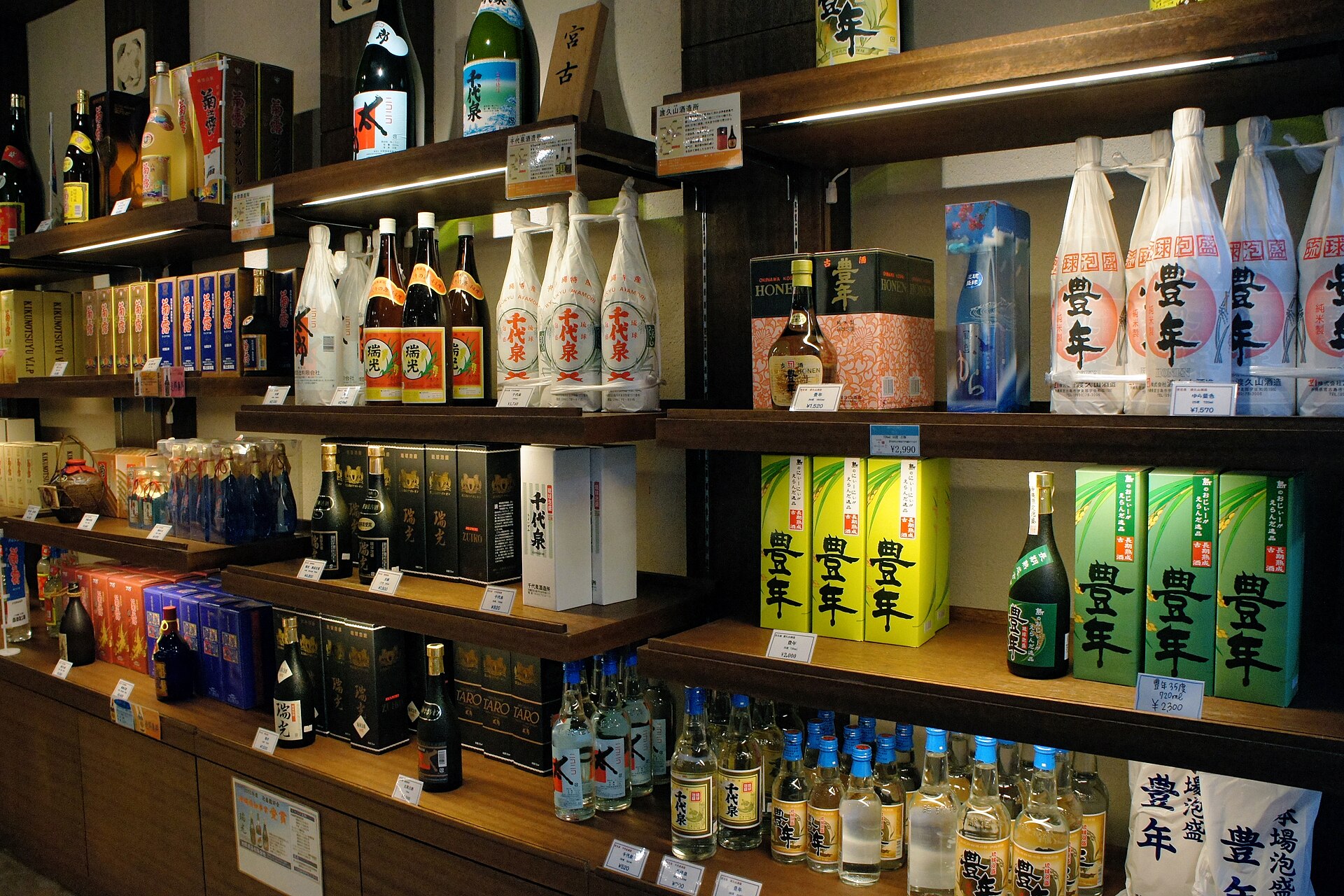
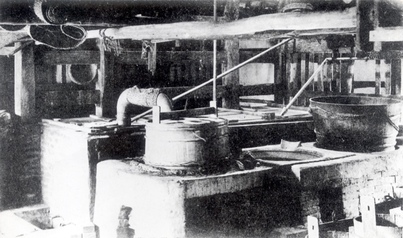
Awamori has a narrow legal definition: rice koji grown with black koji mould, water, and a single pass through a pot still. The geographical indication for Ryukyu Awamori tightens it further, requiring water drawn in Okinawa and fermenting, distilling, ageing and bottling all done inside the prefecture. Shuri Sanka is the collective name for the neighbourhoods where that work was once concentrated: Sakiyama, Akata and Torihori, wrapped around the south and east flanks of Shuri Castle. Spring water was plentiful on this ridge, and that is the reason usually given for the concentration. The quarter is residential now, so this is a street walk rather than a site visit.
How to enjoy it
Give the lanes the better part of an hour and treat the castle as the other half of the visit. Late afternoon suits the walk, when the light comes in low along the stone walls. If you would rather taste than walk, the spirit is sold across Naha, and a bottle labelled kusu has been aged three years or more.
Background & history
Under the Ryukyu Kingdom, awamori was a court affair: brewers appointed by the royal government made the spirit for official use, and the work was confined to the villages of Shuri Sanka. Distilling spread across the islands once the kingdom ended, and the Battle of Okinawa destroyed the Shuri houses almost completely. Only a small number of makers returned to Shuri afterwards. The name Ryukyu Awamori is now protected as a geographical indication.
Before you go
- Cash
- The lanes are public streets and free to walk. Yui Rail fares are posted at the ticket machines in each station. Entry to the paid area of Shuri Castle Park, at the far end of the walk, is charged separately.
- Good to know
- People live behind these walls, so keep to the street and keep noise down. The lanes are narrow and partly stepped, and they rise and fall with the ridge; footing is easier in daylight.
- Another way
- From central Naha, board the Yui Rail at Kencho-mae or Makishi and ride east to Shuri. The ride is shorter from there than from the airport.
- After you get off
- At Shuri Station, leave on the castle side and follow the main road west. Torihori begins straight away, and Akata then Sakiyama follow as the road bends toward the castle walls.
Nearby notes
 Renate Hano / CC BY-SA 4.0
History · Okinawa★★★
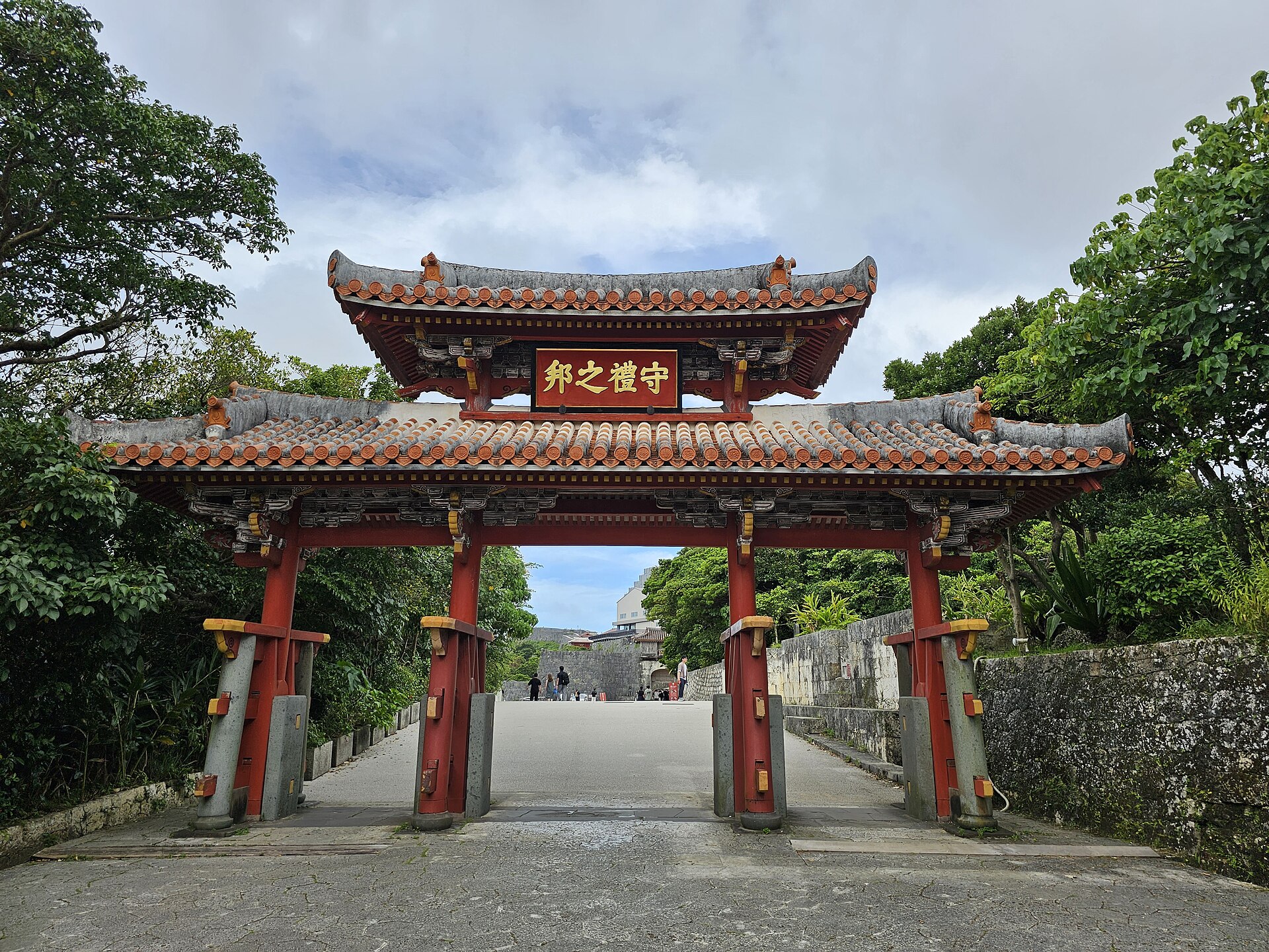
Shurijo Castle Park
0.5 km · straight line
 663highland / CC BY 2.5
History · Okinawa★★
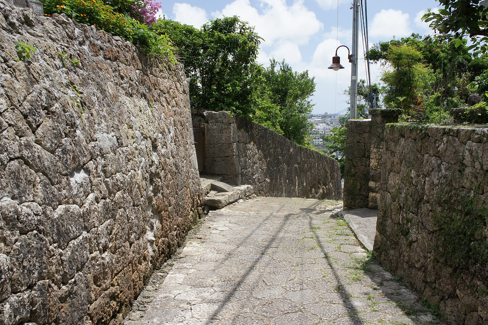
Kinjocho Stone-Paved Road
0.9 km · straight line
 663highland / CC BY 2.5
History · Okinawa★★
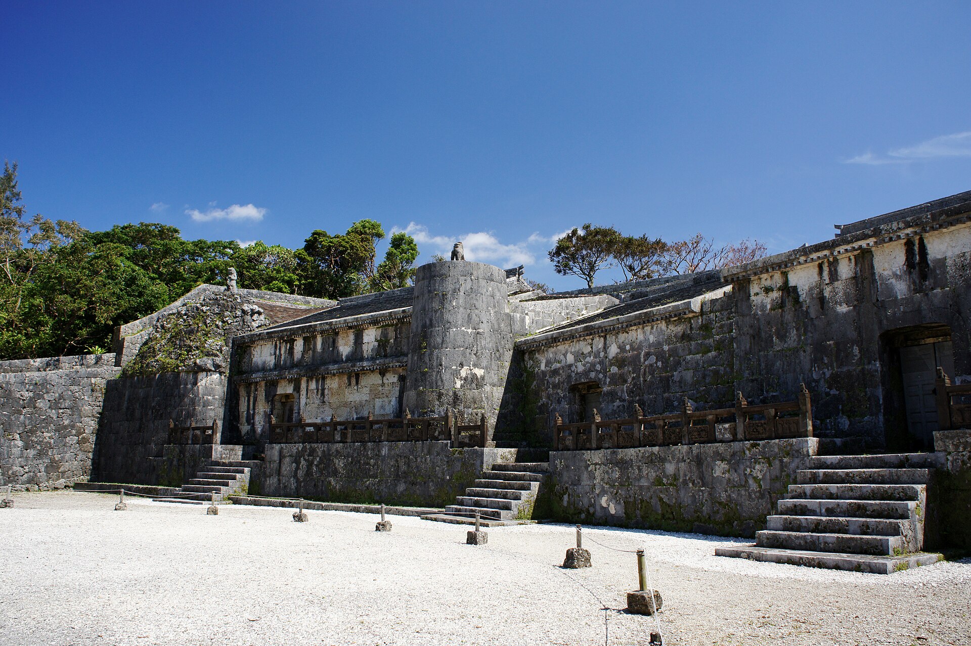
Tamaudun Royal Mausoleum
0.9 km · straight line
 CEphoto, Uwe Aranas / CC BY-SA 3.0
Culture · Okinawa★★
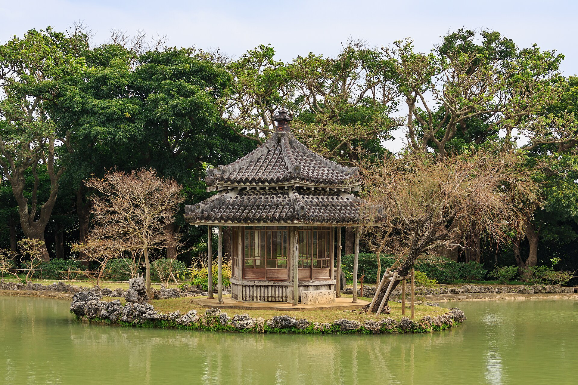
Shikinaen Royal Garden
1.7 km · straight line
Distances are straight lines on the map, not travel times.