Okinawa North · Ie IslandNo.805★★Open in map →
Ie Island
— Lily fields and one sharp peak off Motobu
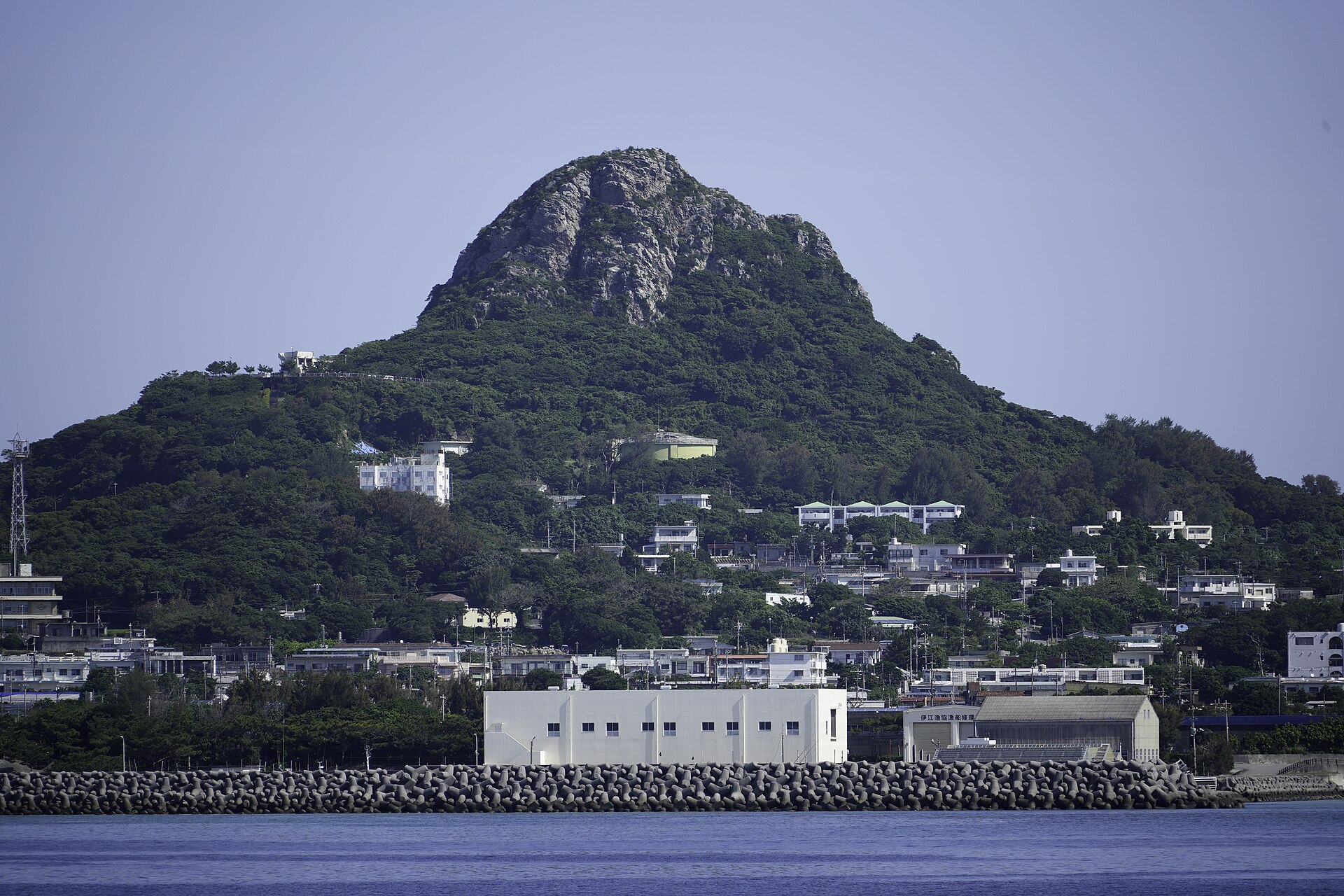
A farming island off the Motobu Peninsula with one sharp peak in the middle of it and lily fields on the north-east headland. A Marine Corps airfield holds a wide block of the ground, and the three land uses sit in plain view of each other.
- FromMotobu Port
- ~30 minVillage ferry from Motobu Port
- Get off atIe Port (Motobu route)
- From there
- Ie Island
The sweet spot
Ie is in full view from one of the busiest tourist stretches in Okinawa, and the crossing is short. What keeps the numbers down is that the island is a destination rather than a stop: you have to give it the boat out and the boat back. Outside the lily festival that is enough to leave the field roads to the islanders.
Where it is
41 more notes in Okinawa · open the map →What to look for — in walking order
- Ie Portthe ferry pier on the south coast, with the village and the rental desks around it
- Gusuku-yamathe island's one peak, climbed by a stepped path to a lookout over the whole plate of land
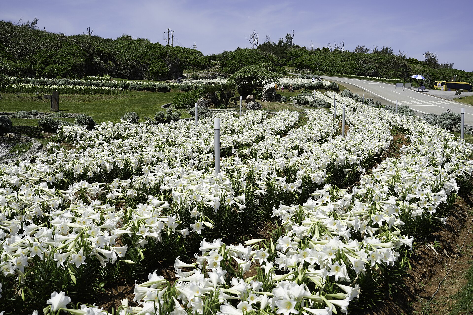
- Lily Field Parkthe north-east headland planted with Easter lilies above the cliffs
- Wajiia spring below the north-coast cliffs, with a viewing point on the road above it
How to actually get there
- Naha or Nago → Motobu Port, on the Motobu Peninsula.
- Motobu Port → Ie Port (village ferry, about 30 minutes; vehicles need a reservation).
- Ie Port → the peak in the middle of the island, climbed from its southern trailhead.
- On to the north-east headland and the north-coast spring, then back to the pier for the last sailing.
- Village ferry from Motobu Port
- Motobu Port →(Ie Village ferry, about 30 minutes)→ Ie Port. The village runs the boats itself, several times a day in each direction. Cars cross on the same vessel, but vehicle passage is reserved in advance rather than bought at the ramp.
- Return to Motobu Port
- The last sailing back leaves in the late afternoon and there is no night crossing, so the return time sets the shape of the day. During the lily festival the boats are the bottleneck, and the queue for tickets forms well before the first departure.
About the place
Ie is a flat green plate of an island about twenty-three square kilometres across, lying off the tip of the Motobu Peninsula, and it has exactly one vertical feature. Gusuku-yama rises 172 metres out of the middle of the fields, abrupt enough that islanders call it Tacchu, the pointed one, and it is the shape that identifies the island from the peninsula across the water. Everything else lies close to the horizontal: peanut ground, cattle pasture, and in spring the lily fields out on the north-east headland. A United States Marine Corps auxiliary airfield holds a wide block through the middle and west. The three land uses sit side by side, in plain view of each other.
How to enjoy it
The lily fields peak from late April into the first days of May, when the island runs its festival and numbered tickets for the crossing are handed out from early in the morning. Outside that window the same headland is a plain grass cliff walk with the neighbouring islands out on the horizon. The climb up the peak is short but all steps, so leave it for the cooler end of the day.
Background & history
The land here was taken for an airstrip twice over. Japanese forces requisitioned farmland for a runway late in the Pacific War, and in 1945 American forces landed and seized the same ground again, in fighting remembered on the island as the whole Okinawa campaign in miniature. More land on the western side followed after the war. Parcels have come back in stages since, and returned ground has been rebuilt into farmland and public facilities, but roughly eight square kilometres — close to a third of the island — is still held as a Marine Corps auxiliary airfield.
Before you go
- Cash
- The peak, the headland park and the north-coast spring are all reached by road. The ferry fare and any vehicle passage are paid at the port, and bicycles, scooters and cars are hired beside the pier. Assume cash once you are across.
- Good to know
- Sailings are cancelled when the sea gets up, and the typhoon season through late summer and early autumn can stop the route for days. Large parts of the island lie inside the airfield boundary and are not open; the roads keep to the outside of it, and signs mark where the ground stops being public.
- Another way
- There is only one crossing. What varies is whether you bring a vehicle: car passage on the same ferry is reserved online beforehand, and the alternative is to hire something at the pier on arrival.
- After you get off
- Ie Port is the arrival point. The village office, the rental desks and the shops all stand within a few minutes of the terminal, and the peak in the middle of the island is about twenty minutes away on foot.
Nearby notes
 Abasaa / Public domain
Local life · Okinawa★★★
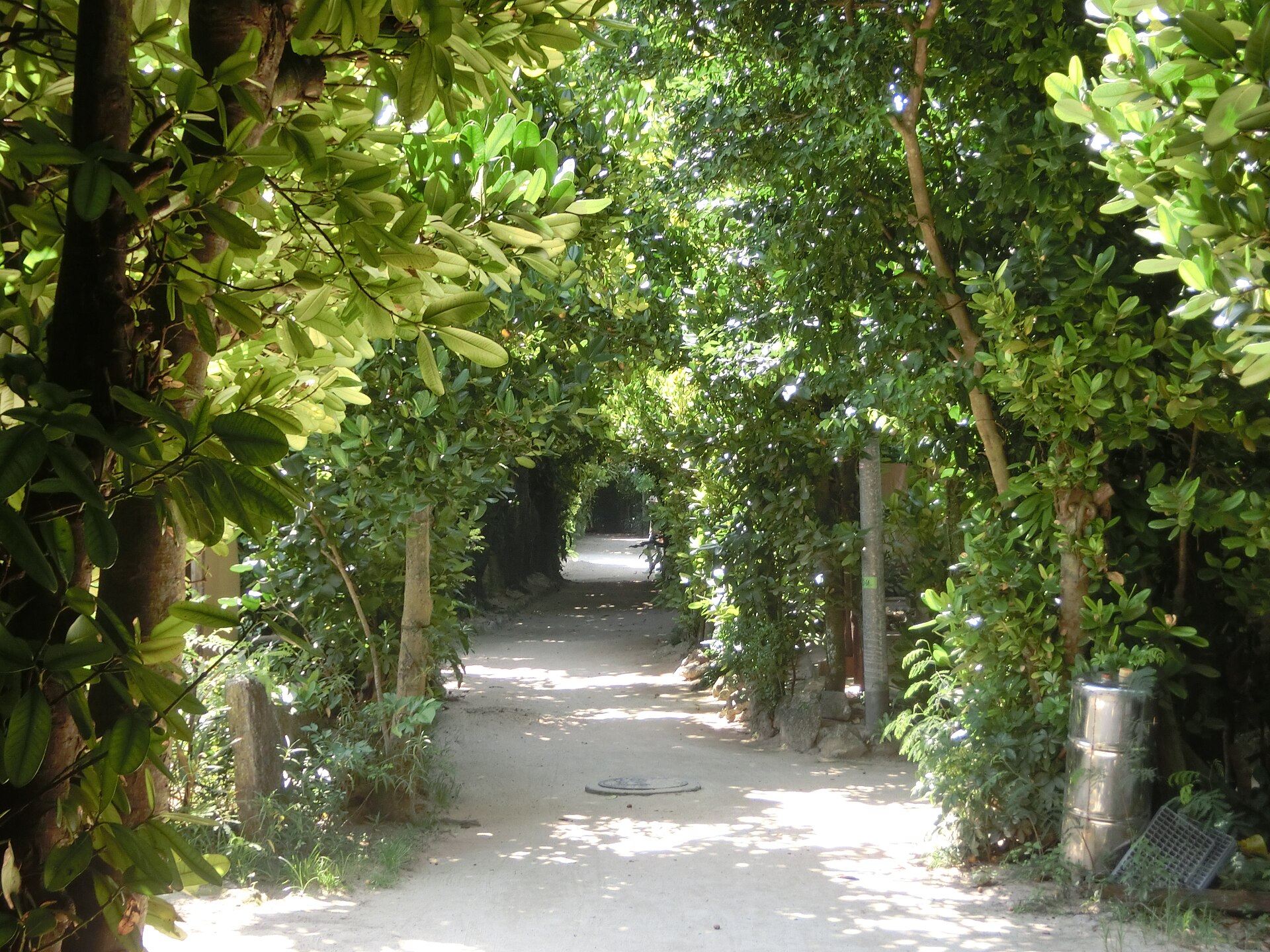
Bise Fukugi Tree Road
7.5 km · straight line
 Hyppolyte de Saint-Rambert / CC BY 4.0
Entertainment · Okinawa★★★
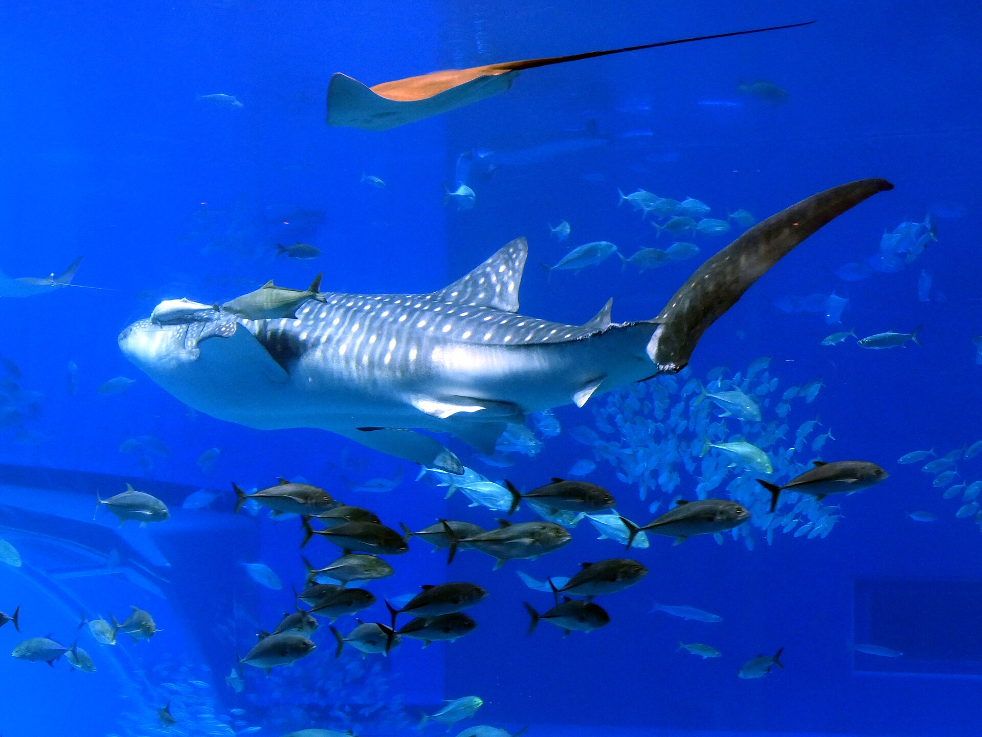
Okinawa Churaumi Aquarium
7.6 km · straight line
 Kugel~commonswiki / CC BY-SA 4.0
Nature · Okinawa★★
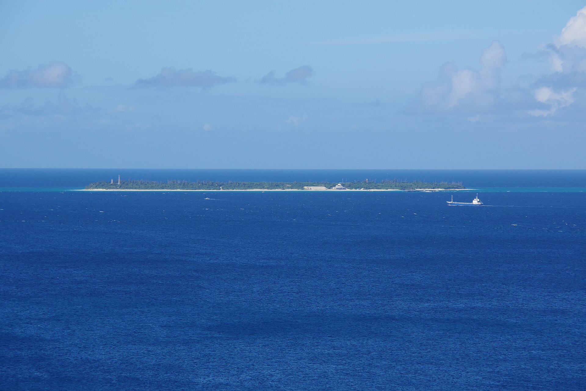
Minna Island
8.1 km · straight line
 へいへ / CC BY-SA 4.0
Nature · Okinawa★★
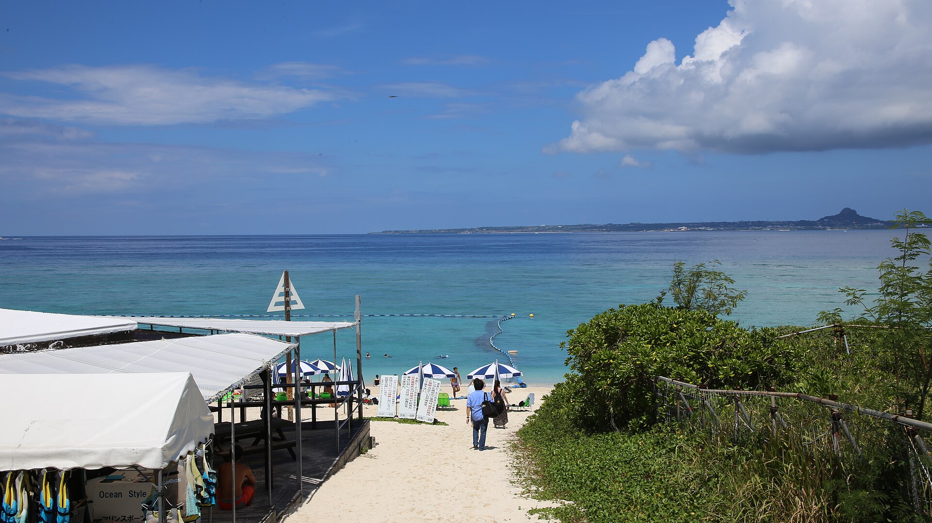
Sesoko Island
10.4 km · straight line
Distances are straight lines on the map, not travel times.