Wakayama · Kada coastNo.064★Open in map →
Jogasaki Coast
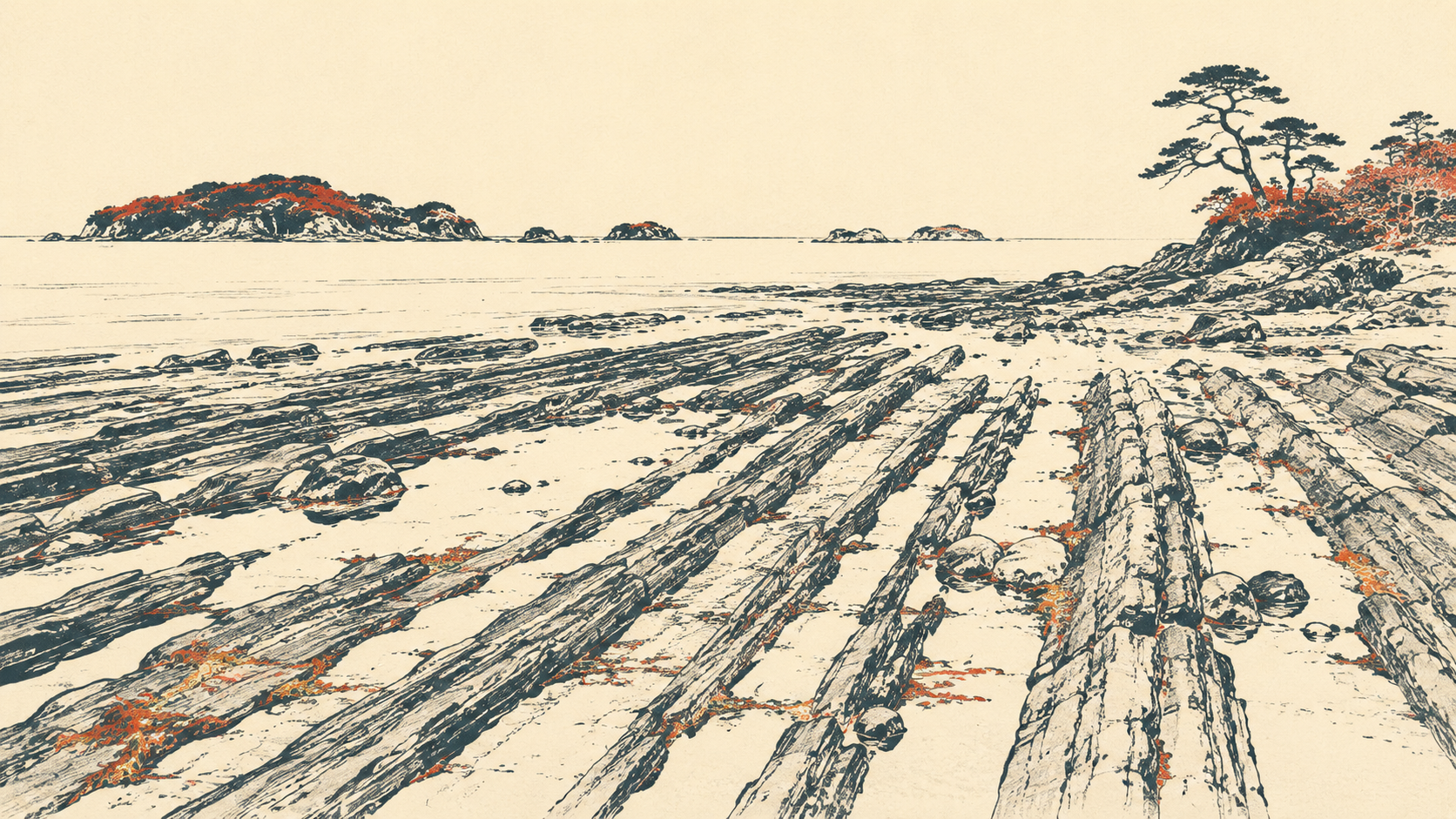
A ridged rock shelf on the Kada coast in Wakayama, where alternating bands of ancient sandstone and shale form a washboard pattern that the receding tide lays bare.
- FromOsaka (Namba)
- ~2 hourstrain ×2/hr + short taxi
- Get off atKada Stn (Nankai Kada Line)
- From there
- Jogasaki Coast
The sweet spot
It is a tide-and-timing spot, not a signposted sight. It hides underwater at high tide, has almost no English information, and sits a taxi ride or long walk beyond the station, so the tourist flow passes it by.
Where it is
22 more notes in Wakayama · open the map →What to look for — in walking order
- Washboard ridgesparallel bands of hard sandstone standing above the worn-away shale
- Wave-cut platforma flat rock shelf and tide pools left bare as the water pulls back
- Kitan Strait viewan open sightline across the strait to the Tomogashima islands and Awaji Island
- Cretaceous layersturbidite rock beds of the Izumi Group, roughly 70 million years old
How to actually get there
- Osaka (Namba) → Wakayamashi Stn (Nankai Main Line, ~60-70 min)
- Wakayamashi Stn → Kada Stn (change to Nankai Kada Line, ~24 min)
- Kada Stn → Kyukamura Kishu Kada area (taxi or resort shuttle, ~10 min)
- Walk a few minutes down to the washboard coast (at low tide)
- Nankai train (change at Wakayamashi) + short taxi/shuttle
- Osaka (Namba) →(Nankai Main Line, Express or Ltd. Exp. Southern, ~60-70 min)→ Wakayamashi Stn → change to the Nankai Kada Line →(~24 min)→ Kada Stn → the coast is ~10 min by taxi or the resort shuttle bus, or a long walk (~60 min). Total from Osaka ~2 hours. Both train lines run about twice an hour; the resort shuttle runs only a few times a day — check the day's timetable before leaving.
- Return the same way
- Ride back from Kada Stn on the Kada Line to Wakayamashi, then the Nankai Main Line to Osaka (Namba). The resort shuttle bus and Kada Line trains end in the early evening — check the return times at the stop when you arrive.
About the place
At Jogasaki the shoreline is built from alternating bands of Cretaceous sandstone and shale, tipped onto a slant by old earth movement. Waves wore away the softer shale over time, while the harder sandstone stayed and now stands out in parallel ridges — the source of the washboard look. The full ridged surface appears at low tide, when the flat rock shelf and its tide pools sit above the waterline. Looking out to sea, the Kitan Strait opens toward the Tomogashima islands, and beyond them Awaji Island.
How to enjoy it
Plan around low tide so the full washboard shelf is out of the water. Step carefully among the ridges and tide pools — the footing is uneven and can be slippery, so wear sturdy shoes and keep an eye on the returning water. The coast sits just below the Kyukamura Kishu Kada resort; reach it by a short walk down from the resort grounds.
Background & history
The rocks belong to the Izumi Group, a Late Cretaceous marine layer of repeating sandstone and mudstone bands — a turbidite, meaning rock deposited by underwater sediment flows. This layer stretches across the western Kinki region. The Kada coast is used by regional geology guides as a clear example of differential erosion, where hard and soft bands wear down at different rates. Kada itself has been known since ancient times: Japan's oldest poetry anthology, the Man'yoshu, includes a verse praising the area, picturing a seaweed-cutting boat offshore and cranes above the nearby islands. The coast today lies within Seto Inland Sea National Park.
Before you go
- Cash
- There is nothing to buy at the rocks, so bring your own water and grippy shoes. Rural buses and taxis here are often cash-only, so carry some coins and small notes.
- Good to know
- Wet rock is slippery and the tide comes in fast — step back to shore in good time so you are not cut off.
- Another way
- At high tide the ridges are underwater, but the same coast is still a good sunset walk from the Kada area.
- After you get off
- From Kada Station the washboard coast is not a short walk — take a taxi or the resort shuttle (~10 min) to the Kyukamura Kishu Kada area, then walk a few minutes down to the shore.
Nearby notes
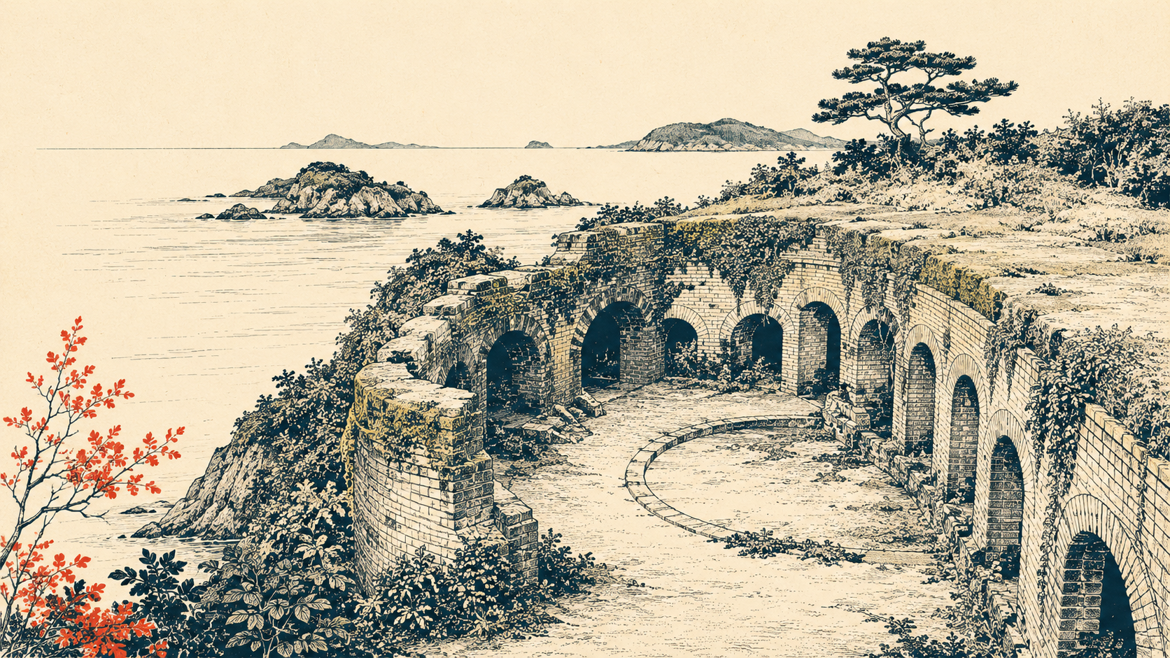 illustration (AI-illustrated)
History · Wakayama★
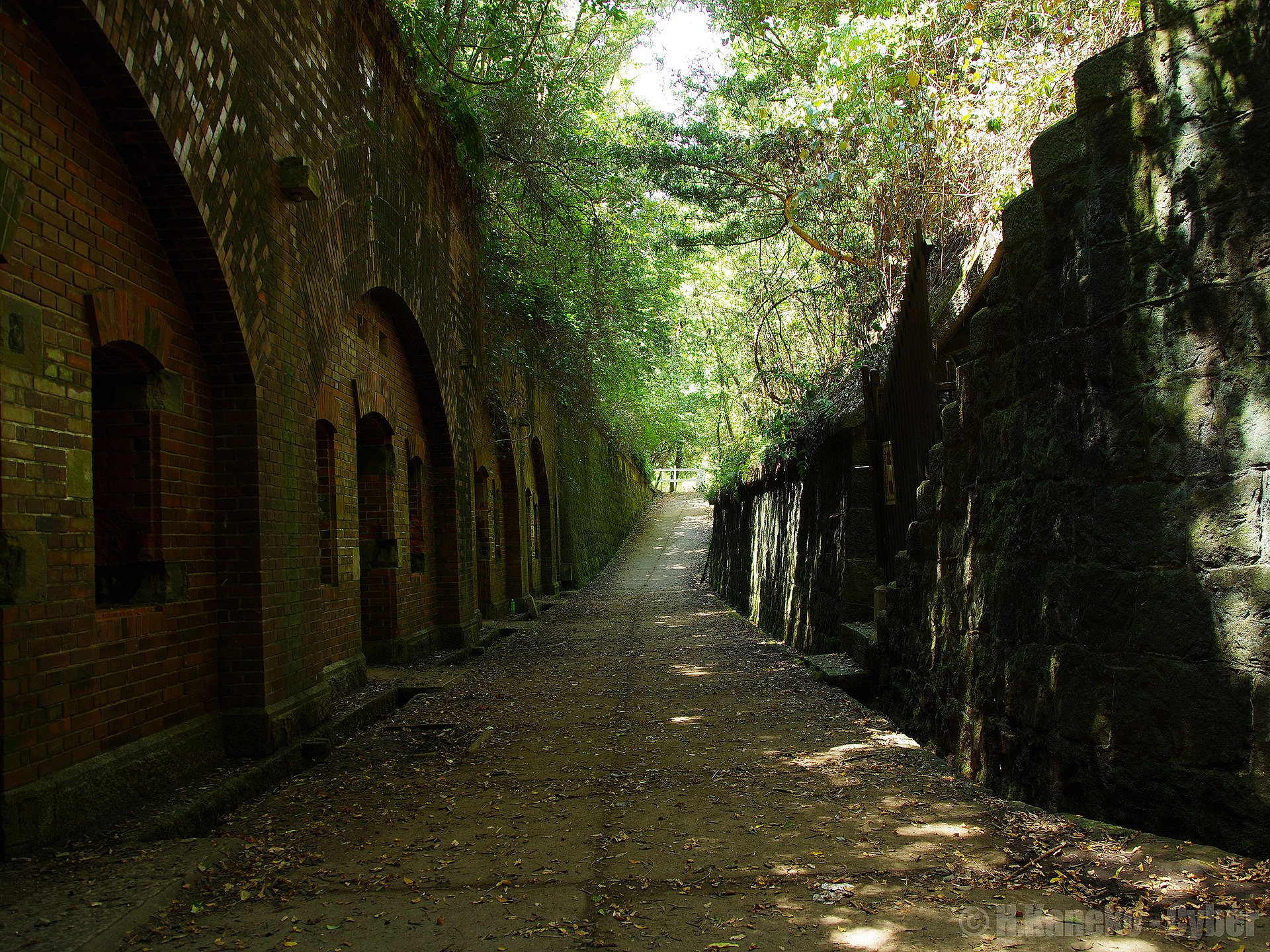
Miyama Battery Ruins
1.2 km · straight line
 KQuhen / CC BY-SA 4.0
History · Wakayama★
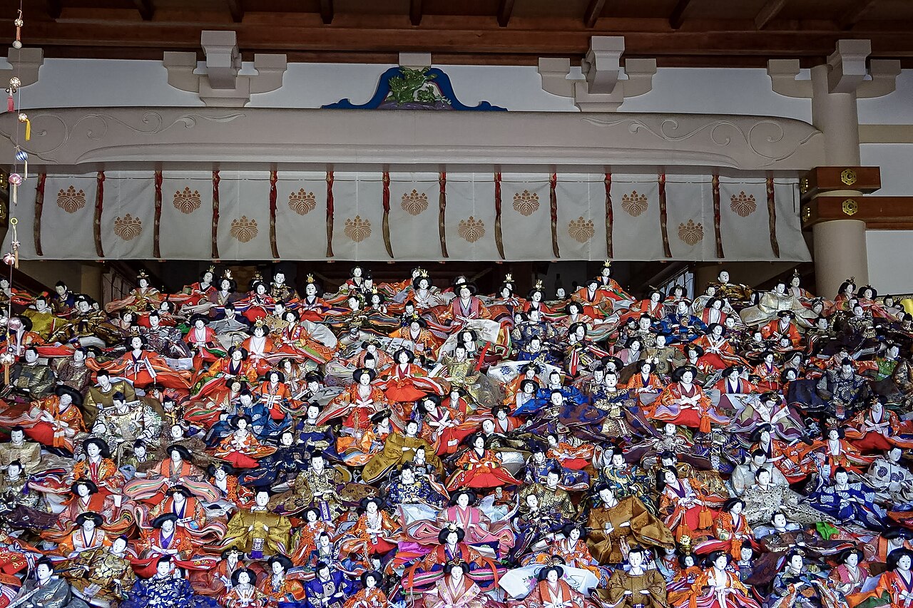
Awashima Shrine
1.4 km · straight line
 Hiroaki Kaneko / CC BY-SA 3.0
History · Wakayama★★
Tomogashima Islands
6.4 km · straight line
 Sakumata / CC0
Food · Wakayama★
Wakayama chuka soba
10.9 km · straight line
Distances are straight lines on the map, not travel times.