West Nagano · KamikochiNo.752★★★Open in map →
Kappa Bridge
— The wooden span at the heart of Kamikochi
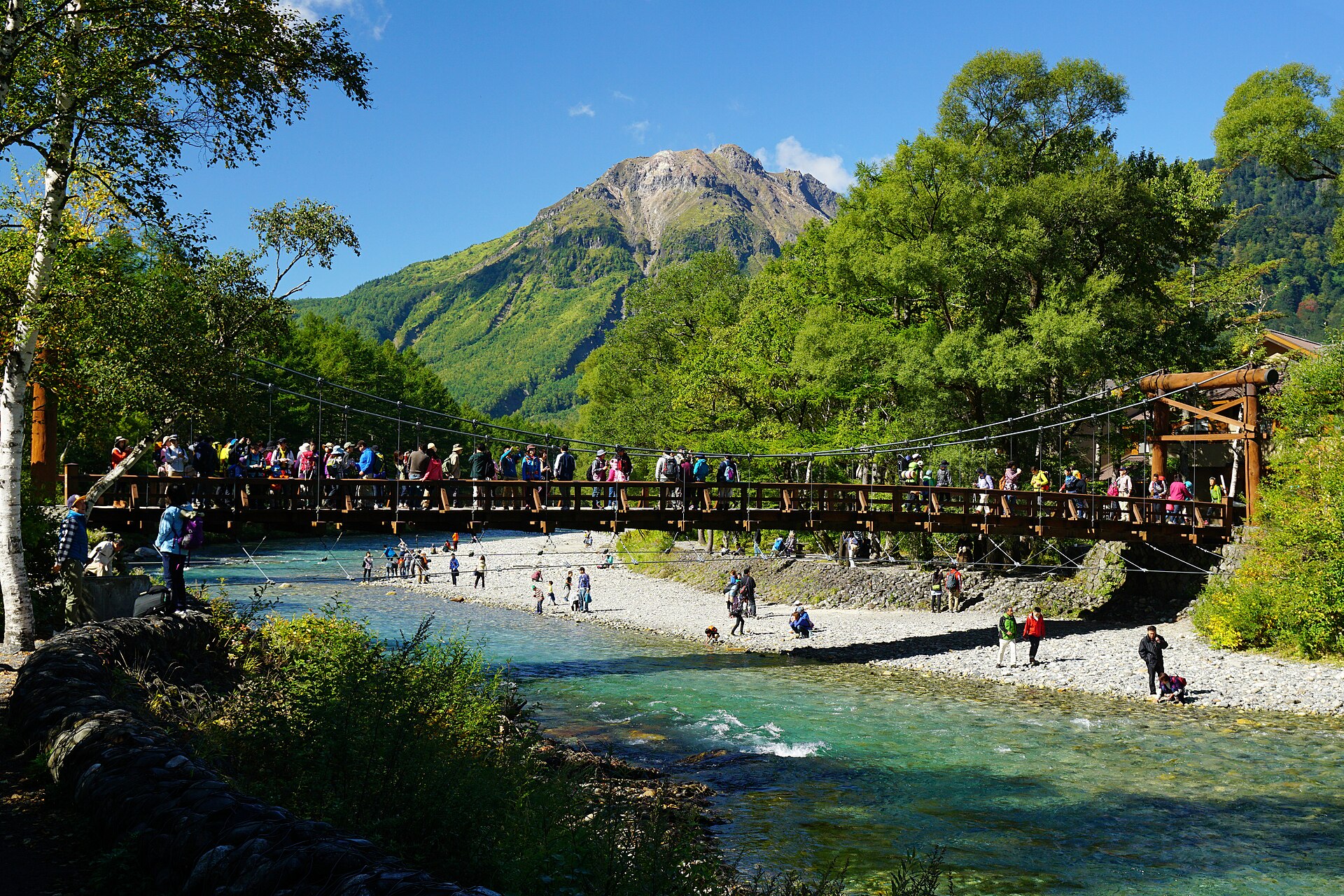
A wooden suspension bridge over the Azusa river, with the Hotaka ridge upstream and the volcano Yakedake downstream. It marks the middle of Kamikochi rather than the end of it, and no private car can reach it.
- FromMatsumoto Station
- ~90 minTrain to Shin-Shimashima, then bus
- Get off atKamikochi Bus Terminal
- On foot
- Kappa Bridge
Where it is
27 more notes in Nagano · open the map →What to look for — in walking order
- The gravel bar below the bridgea wide shelf of stones where the Azusa runs clear and shallow, and the standing view of the deck itself
- Kappa Bridgelarch planks on steel cables, wide enough to stop on, with a mountain framed at each end
- Yakedake downstreamthe bare volcanic cone at the mouth of the valley, the nearest thing here to a horizon
- The right-bank path upstreama boardwalk under larch heading for Myojin, the natural continuation of the visit
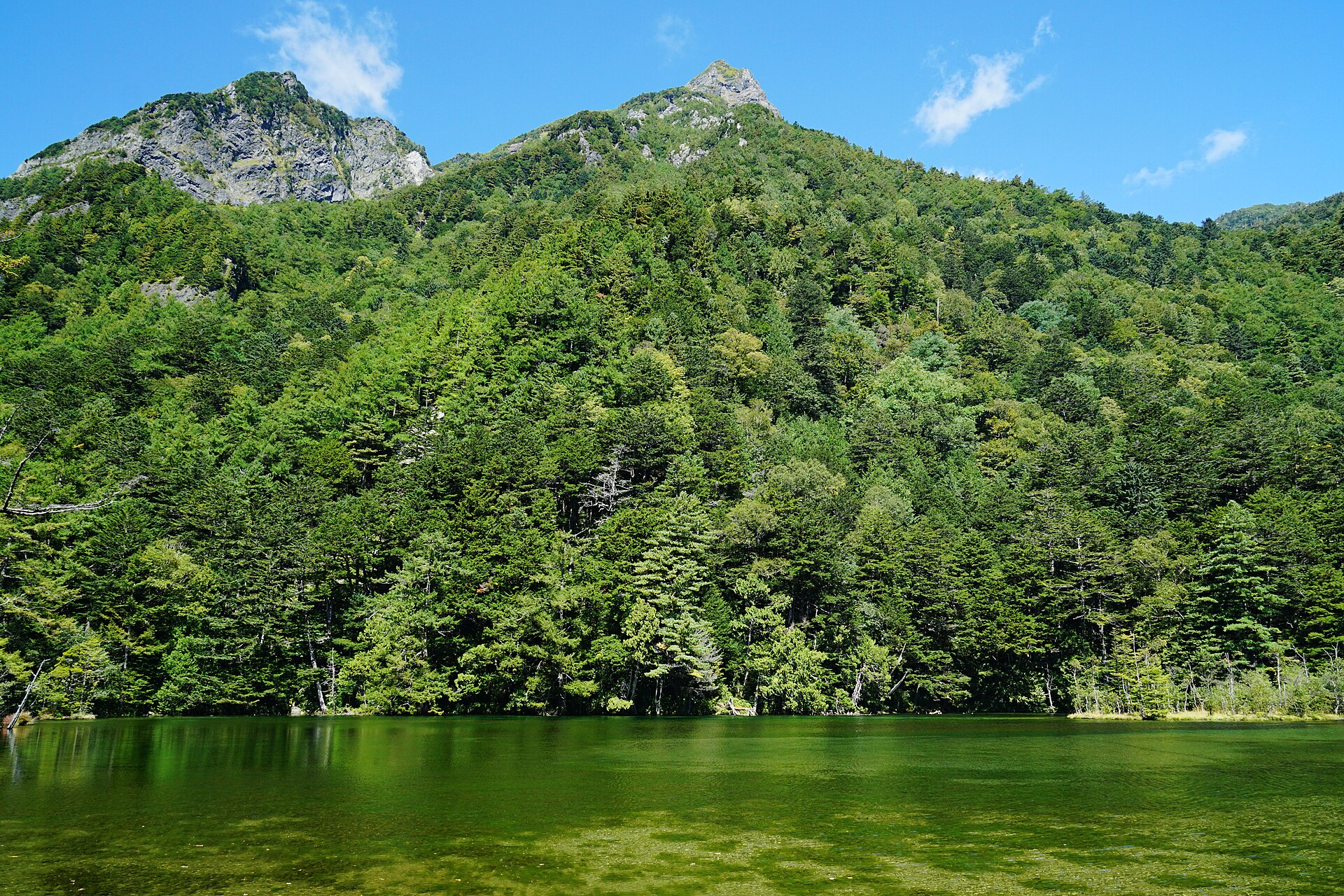
- Myojin Ponda still green pool under Myojindake at the top of the walk, with a shrine on its shore
How to actually get there
- Matsumoto Station → Shin-Shimashima on the Alpico Kamikochi line.
- Shin-Shimashima → Kamikochi Bus Terminal by bus, reserved in season.
- Walk out from the terminal to the river and upstream to the bridge.
- Cross, then follow the right bank upstream toward Myojin as far as the return bus allows.
- Matsumoto Station to Kamikochi
- Take the Alpico Kamikochi line from Matsumoto to Shin-Shimashima, then the bus up the valley to Kamikochi Bus Terminal; the whole run takes around ninety minutes. Seats on the bus are reservation-preferred in the busy season, so book rather than turn up and hope.
- Back down the valley
- The same bus from the terminal to Shin-Shimashima, then the train on to Matsumoto. Last departures are early by city standards and there is no alternative road out of the valley, so treat the return time as fixed and plan the walk around it.
About the place
The bridge is the thing everyone photographs and the thing almost nobody walks past. It hangs over the Azusa at about 1,500 metres, in a flat-bottomed valley that runs for kilometres in both directions, and the crowd thins within a few minutes of stepping off the deck either way. Look upstream and the Hotaka ridge closes the view, with the tooth of Myojindake nearer. Look downstream and Yakedake, an active volcano, sits at the mouth of the valley. What you are standing on is not ancient — here it is the name that has been handed down, not the timber.
How to enjoy it
Give the valley more than the bridge — the walk upstream on the right bank to Myojin and back is the difference between a photo stop and a day out. Cloud tends to build on the ridge through the afternoon, so the peaks are most reliable in the morning, which argues for the first buses rather than the last. There is no shortcut out, and the last bus down is the last bus down, so the timetable decides how far up the river you get.
Background & history
There has been a crossing on this spot far longer than the present one. It began as a plank bridge that could be raised, became a suspension bridge in the Meiji period, and has been rebuilt several times since; the deck underfoot is the fifth, put up in 1997. The name outlived every version of it, and nobody is certain where it came from — either a deep pool where kappa were said to live, or the look of people wading across with their clothes bundled on their heads. Akutagawa Ryunosuke set his 1927 novel Kappa here and fixed the association for good.
Before you go
- Cash
- The valley costs nothing to enter and the bridge is public; the buses are the real expense, and the fare depends on where you join. Carry cash for a mountain valley where card acceptance is not uniform across the huts and kiosks.
- Good to know
- Kamikochi has a closed season. Snow shuts the access road through the winter and the hotels and buses stop with it, so a plan that arrives between late autumn and spring will not work — the official site publishes the opening and closing dates each year. In the open season rain here is common and turns the paths to mud rather than making them dangerous.
- Another way
- From the Takayama side you park at Akandana and ride the shuttle in; from the Matsumoto side you park at Sawando and do the same, about thirty minutes either way. Private cars and motorcycles are stopped at the Kama tunnel all year, a rule that has been in force since the 1990s.
- After you get off
- The terminal sits among the hotels at the centre of the valley. Walk out to the river and turn upstream on the gravel path; the bridge is a few minutes away and in sight before you reach it.
Nearby notes
 Naokijp / CC BY-SA 4.0
Nature · Gifu★★★
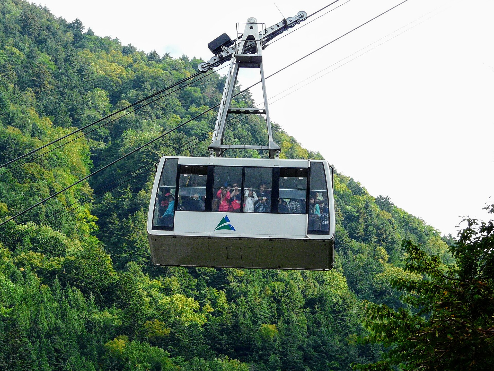
Shinhotaka Ropeway
7.0 km · straight line
 Soica2001 / Public domain
Onsen · Nagano★★
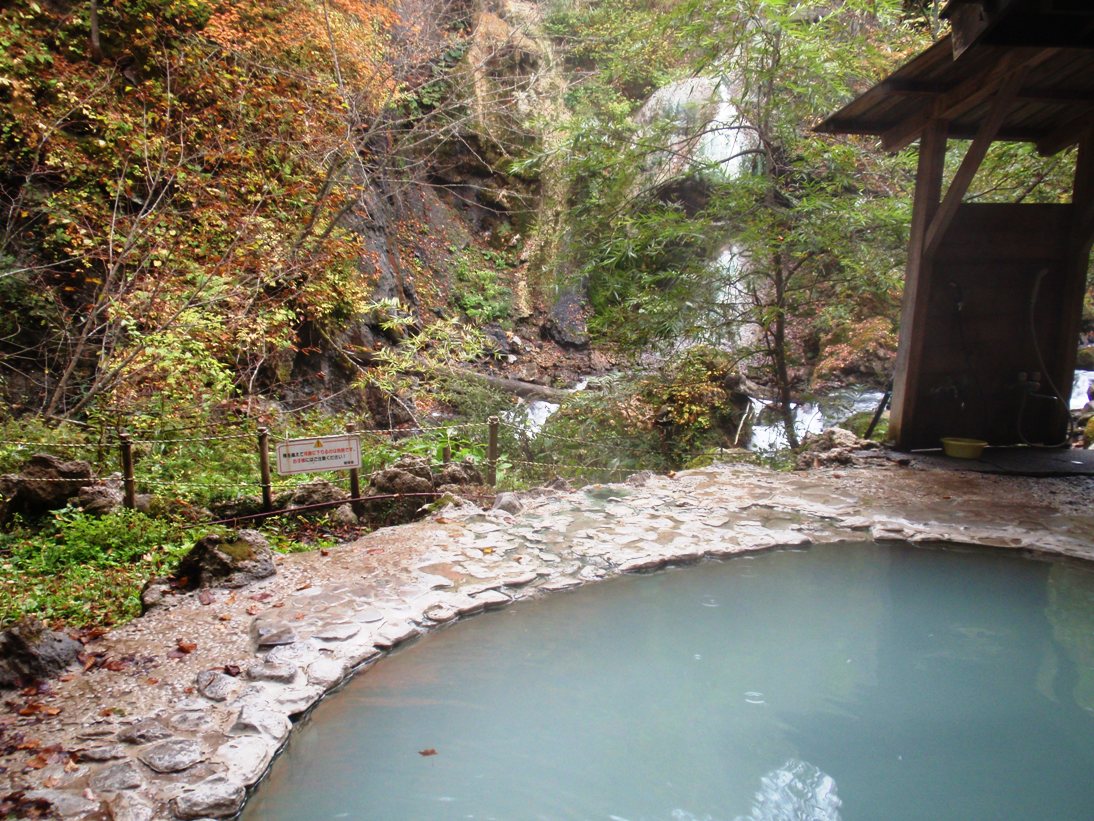
Shirahone Onsen
10.8 km · straight line
 SHori / CC BY 4.0
Nature · Nagano★★
Norikura Kogen
14.1 km · straight line
 Namemiso / CC BY-SA 4.0
Food · Nagano★★
Daio Wasabi Farm
26.3 km · straight line
Distances are straight lines on the map, not travel times.