Shiga north · Takashima · MakinoNo.344★★Open in map →
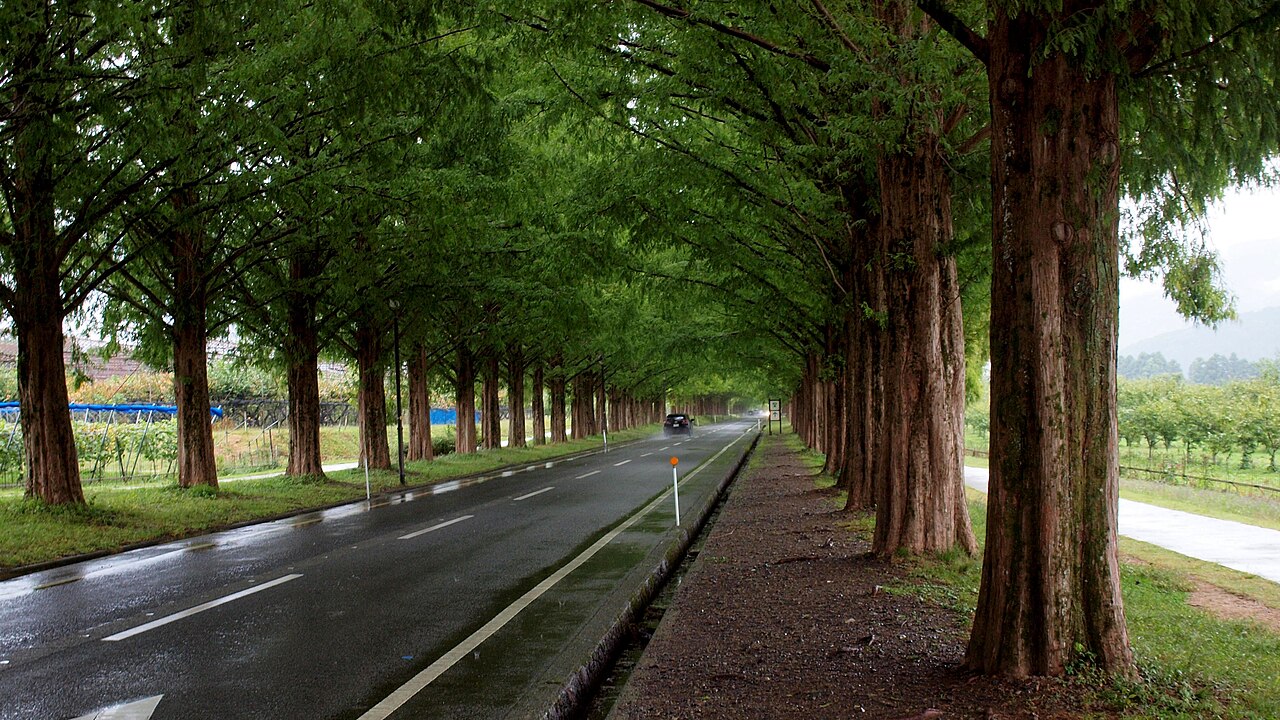
The Makino metasequoia avenue
About five hundred metasequoia trees line roughly 2.4 kilometres of the prefectural road running inland to the Makino highlands in Takashima, on the northwest shore of Lake Biwa.
- FromKyoto Stn
- ~10 mintrain (~1/hr) + bus
- Get off atMakino Stn (JR Kosei Line)
- From there
- The Makino metasequoia avenue
The sweet spot
The road is well known inside Japan as a photography destination but has almost no English presence, so foreign visitors rarely make the trip up the west shore of Lake Biwa. It is also one of the few places in Kansai where a snowy winter landscape is genuinely easy to reach by train.
Where it is
21 more notes in Shiga · open the map →What to look for — in walking order
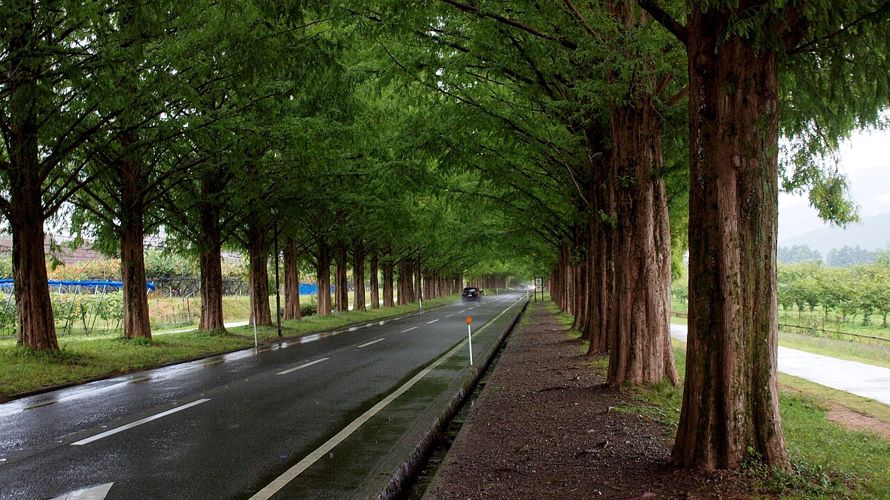
- The full run of the avenueabout 2.4 kilometres of road with roughly 500 trees in two ranks, rising gently inland toward the highlands
- The tunnel sectionthe stretch where the crowns meet overhead and close the road into a green corridor in summer
- Makino Pick Landthe roadside farm stop at the foot of the avenue, with local produce, a cafe and rental bicycles
- The Makino highlands endthe inland end of the avenue, where the trees stop and the road opens onto the highlands and the mountains behind
How to actually get there
- Kyoto Stn → Makino Stn (JR Kosei Line, ~65–75 min, roughly hourly; some services change at Omi-Imazu).
- Makino Stn → Makino Pick Land (Takashima community bus, ~10 min) — or about 40 min on foot.
- Walk or cycle the 2.4 km avenue inland and back.
- Kyoto Stn → Makino Stn (JR Kosei Line)
- From Kyoto Station take the JR Kosei Line north toward Omi-Shiotsu or Nagahara and ride to Makino Station — about 65 to 75 minutes depending on the service. Trains run roughly once an hour, and some services require a change at Omi-Imazu, so check the departure board before you board. From Makino Station, the Takashima community bus toward the Makino highlands reaches the Makino Pick Land stop at the foot of the avenue in about 10 minutes.
- Return bus to Makino Stn, then JR back to Kyoto
- Take the community bus back down to Makino Station and the JR Kosei Line south to Kyoto. Both the bus and the train are roughly hourly and thin out in the evening — note the return times when you arrive rather than at the end of the day. In winter, services can be reduced further.
About the place
The avenue is not old and not accidental. The metasequoias were planted from the 1980s along the prefectural road running inland toward the Makino highlands, as part of a local farmland development scheme — a practical piece of landscaping that grew into something else. Roughly five hundred trees now stand in two ranks over about 2.4 kilometres, and because they are deciduous conifers the road changes character completely four times a year: pale green shoots in May, a dense green tunnel through summer, deep copper-brown in late November, and bare grey candelabra against snow in January and February. The metasequoia itself has a strange history. It was described from fossils and believed extinct for millions of years, until living trees were found in China in the 1940s — which is why English-speakers know it as the dawn redwood. The avenue has been selected for Japan's New 100 Landscapes of Street Trees.
How to enjoy it
Allow two to three hours from Makino Station, or half a day if you also walk up into the highlands. Cycling is the best way to see the whole avenue — you can ride to the far end and back in under an hour and see how the light changes along the rows. Late November gives the copper colour; January and February give the bare trees against snow, which is the shot most Japanese photographers come for and the hardest to time. Weekday mornings have far fewer cars. There is nothing to shelter under along the road, so check the weather before committing to the trip north.
Background & history
The trees were planted from the 1980s as part of a farmland development project in the Makino district, and have been tended by local residents ever since — the avenue is maintained landscape, not remnant forest. As the trees matured it became one of the best-known tree-lined roads in Japan and was selected for the New 100 Landscapes of Japanese Street Trees. The metasequoia, or dawn redwood, was known only from fossils until living specimens were identified in China in the 1940s; the ones here are descendants of that rediscovery.
Before you go
- Cash
- The community bus is a small local service; carry coins and small notes rather than relying on IC cards. The JR leg from Kyoto accepts ICOCA and Suica. There is no admission charge for the avenue itself.
- Good to know
- This is a live prefectural road with real traffic, not a park. Walk on the verge, not on the carriageway, and do not stand in the road for photographs — this is a recurring problem here. There is no shelter along the avenue, so bring water in summer and proper footwear in snow.
- Another way
- Rental bicycles are available at Makino Pick Land at the foot of the avenue, which is the pleasantest way to cover the full 2.4 kilometres and back. Walking from Makino Station takes about 40 minutes if the bus times do not suit you.
- After you get off
- From the Makino Pick Land bus stop the avenue begins immediately — the double rank of trees runs inland from the roadside farm shop toward the highlands.
Nearby notes
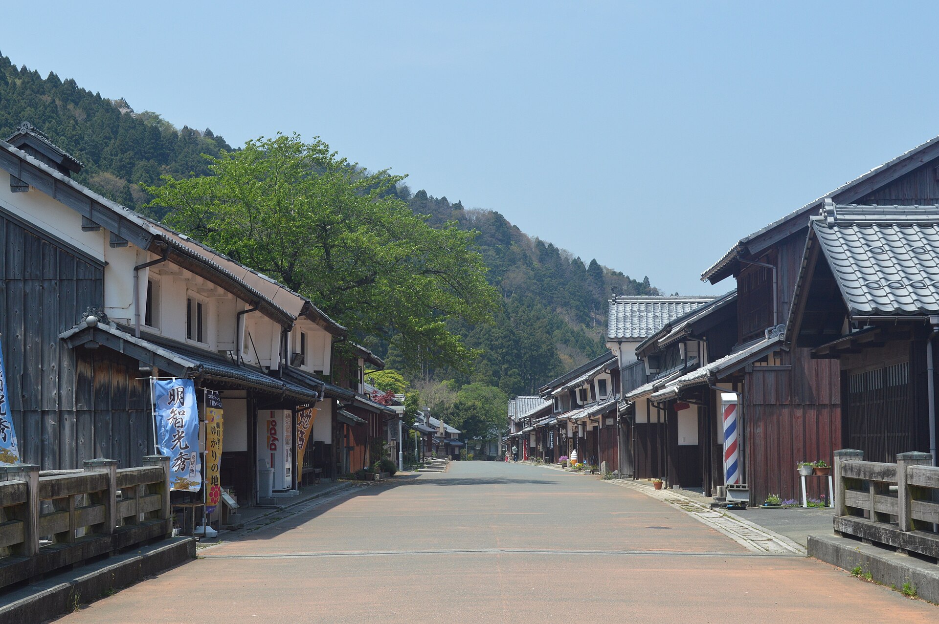 Asturio Cantabrio / CC BY-SA 4.0
History · Fukui★
Kumagawa-juku
12.6 km · straight line
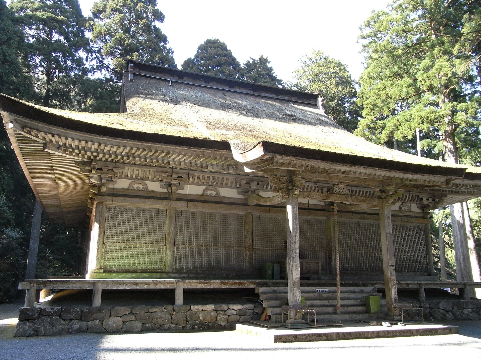 Mobnoboka / CC BY-SA 3.0
History · Fukui★★
Myotsuji Temple
21.0 km · straight line
 663highland / CC BY 2.5
Nature · Fukui★★
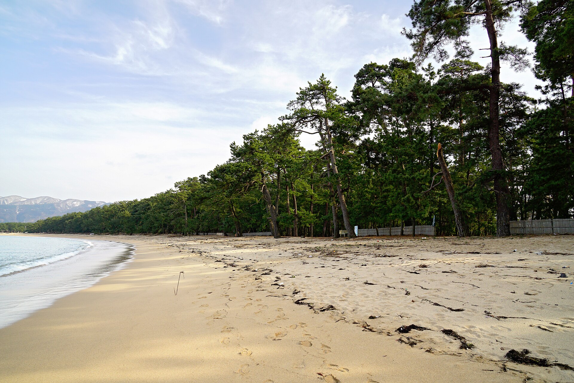
Kehi no Matsubara
21.1 km · straight line
 Saigen Jiro / CC0
History · Fukui★★
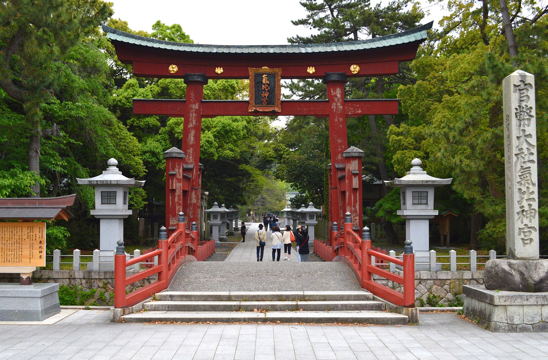
Kehi Jingu Shrine
21.2 km · straight line
Distances are straight lines on the map, not travel times.