Hokkaido · OtaruNo.719★★★Open in map →
Otaru Canal
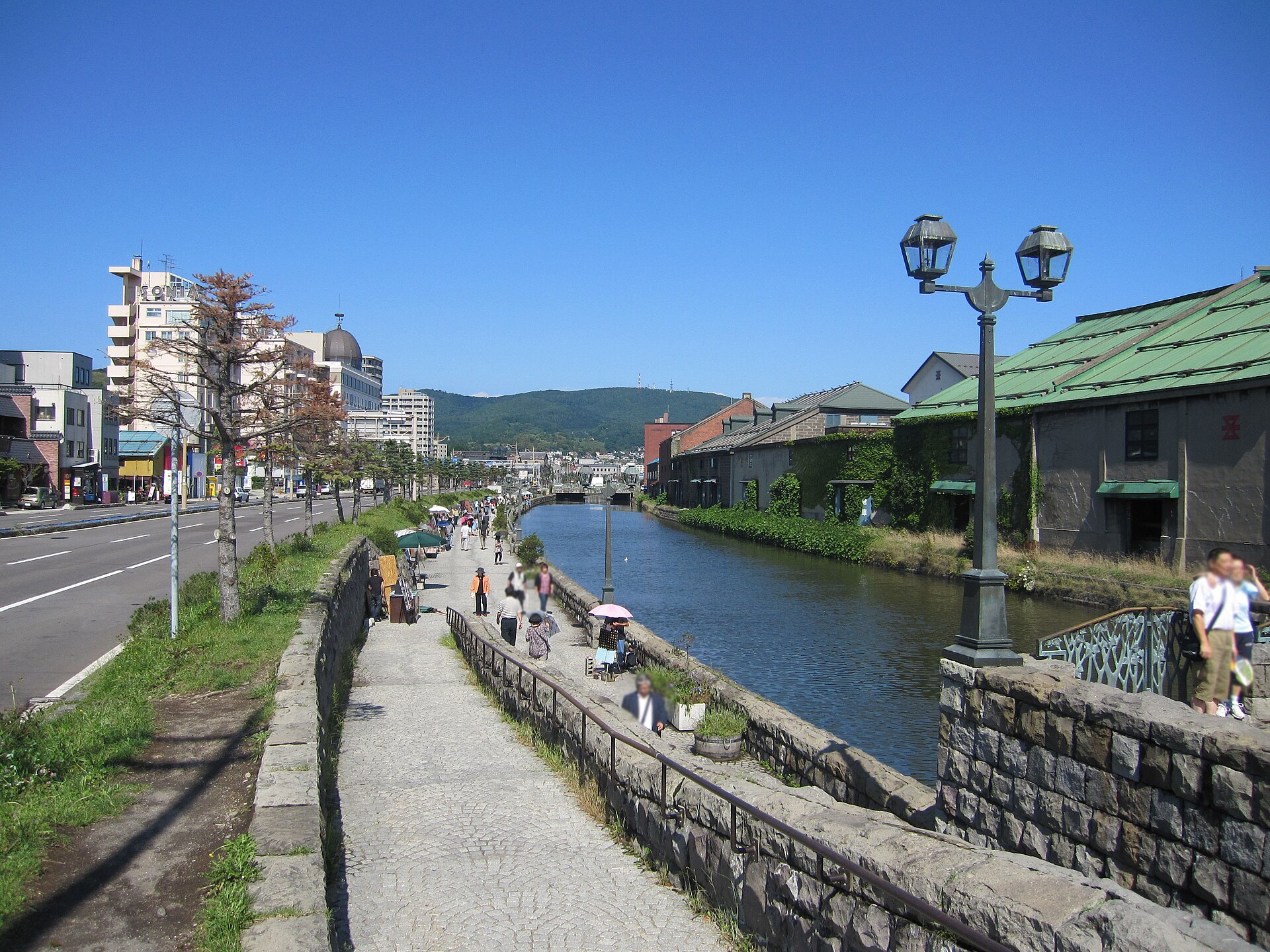
A stone-lined canal cut along the waterfront of a Hokkaido port city, with a walking promenade on one bank and the warehouses it was built to serve on the other. Half its width was filled in and turned into road.
- FromSapporo Station
- ~45 minJR train, from 32 min
- Get off atOtaru Station (JR Hakodate Line)
- On foot
- Otaru Canal
Where it is
102 more notes in Hokkaido · open the map →What to look for — in walking order
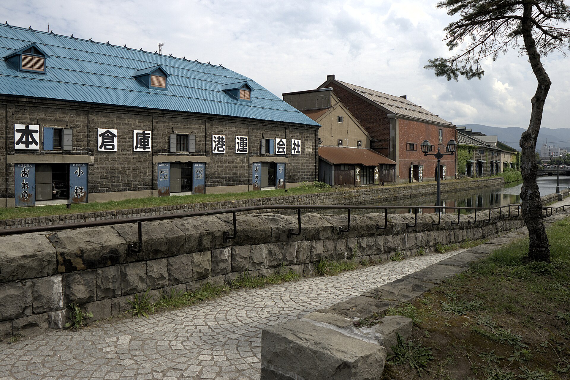
- The promenadea paved walkway at the water's edge, lit after dark by 63 gas lamps
- The stone warehouseslow stone and brick sheds on the far bank, kept in their original form and now holding restaurants and shops
- The narrowed stretchthe section beside the Rinko road, where the filled-in half is now a carriageway
- Kita-ungathe northern reach, still at its original width, with older warehouses along the bank
How to actually get there
- Sapporo Station → Otaru Station (JR Hakodate Line, Rapid Airport, from 32 min).
- Otaru Station → the canal (about 10 min on foot, downhill towards the harbour).
- Walk the promenade to the Kita-unga end, then come back after sunset for the gas lamps.
- JR Hakodate Line, direct from Sapporo
- Sapporo Station →(JR Hakodate Line, Rapid Airport, from 32 min)→ Otaru Station, then about 10 minutes on foot downhill towards the harbour to reach the canal. Rapid Airport services call at Otarukko, Minami-Otaru and Otaru, and run through the day.
- Return from Otaru Station
- Walk back up to Otaru Station and take the JR Hakodate Line to Sapporo. Trains run into the evening, but if you stay for the lamps, read the departure board before you settle in rather than after.
About the place
Otaru Canal runs 1,140 metres along the harbour of Otaru, a port city on the Sea of Japan coast west of Sapporo. It was built as part of the port's cargo handling, with warehouses lined up along the bank to take what came off the ships. Beside the Rinko road the water is now 20 metres across, because half of the original channel was filled in. The northern reach, called the Kita-unga, was left at its full 40 metres, and the change in width is obvious as you walk from one to the other. The stone warehouses on the far bank remain in their original form, and many of them now hold restaurants and shops.
How to enjoy it
The promenade is free and has no gate or closing time, so one visit can hold two versions of the canal. By day the stonework and the difference in width between the two reaches read clearly; after sunset the gas lamps come on and the warehouses are floodlit. At the time of checking, the warehouse lighting was posted until 22:30 and the gas lamps until midnight.
Background & history
The canal was completed in 1923, the twelfth year of the Taisho era, when Otaru was the gateway port for the settlement of Hokkaido. Cargo moved between ships and the warehouses on the bank, and the stone buildings along the water date from that trade. In 1986 half the width of the channel was filled in to make a road, and the remaining half was given a promenade and planted strips along the edge. The warehouses were kept rather than cleared, which is why the old port and the walk now share the same water.
Before you go
- Cash
- The canal and its promenade are free — there is no gate and no ticket. Rail fares are bought at the station; a reserved U-Seat on the Rapid Airport costs 520 yen on top of the fare if you want one.
- Good to know
- The promenade is open air with no shelter. Otaru faces the Sea of Japan, so in the snow months the wind comes straight off the water and the stone underfoot can be icy. Lighting covers the walk after dark.
- Another way
- From New Chitose Airport the Rapid Airport runs through to Otaru without a change, in as little as 75 minutes. Hokkaido Chuo Bus also runs a highway coach from Sapporo.
- After you get off
- Leave Otaru Station by the main exit and follow the street ahead of you downhill towards the harbour. It is about 10 minutes on foot to the water, and the promenade continues in both directions from there.
Nearby notes
 663highland / CC BY 2.5
Craft · Hokkaido★★★
Otaru Glass
1.0 km · straight line
 663highland / CC BY 2.5
Food · Hokkaido★★
Nikka Whisky Yoichi Distillery
17.1 km · straight line
 掬茶 / CC BY-SA 4.0
Food · Hokkaido★★★
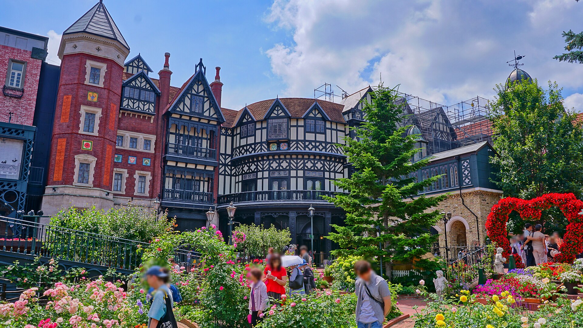
Shiroi Koibito Park
25.2 km · straight line
 hfordsa / CC BY-SA 2.0
Entertainment · Hokkaido★★
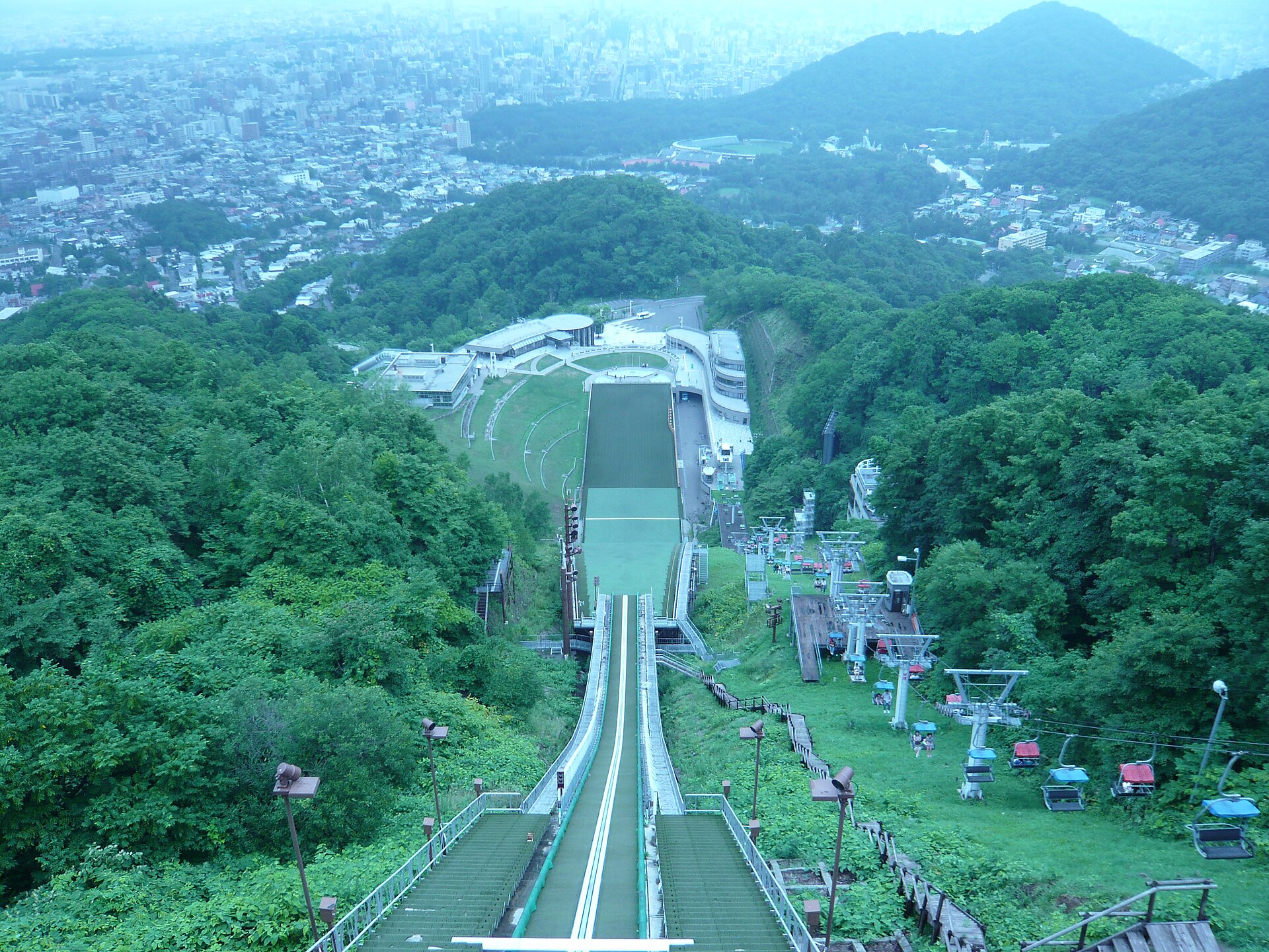
Okurayama Ski Jump Stadium
28.6 km · straight line
Distances are straight lines on the map, not travel times.