Okinawa South · NanjoNo.682★★★Open in map →
Sefa-utaki
— The Ryukyu kingdom's highest sacred site
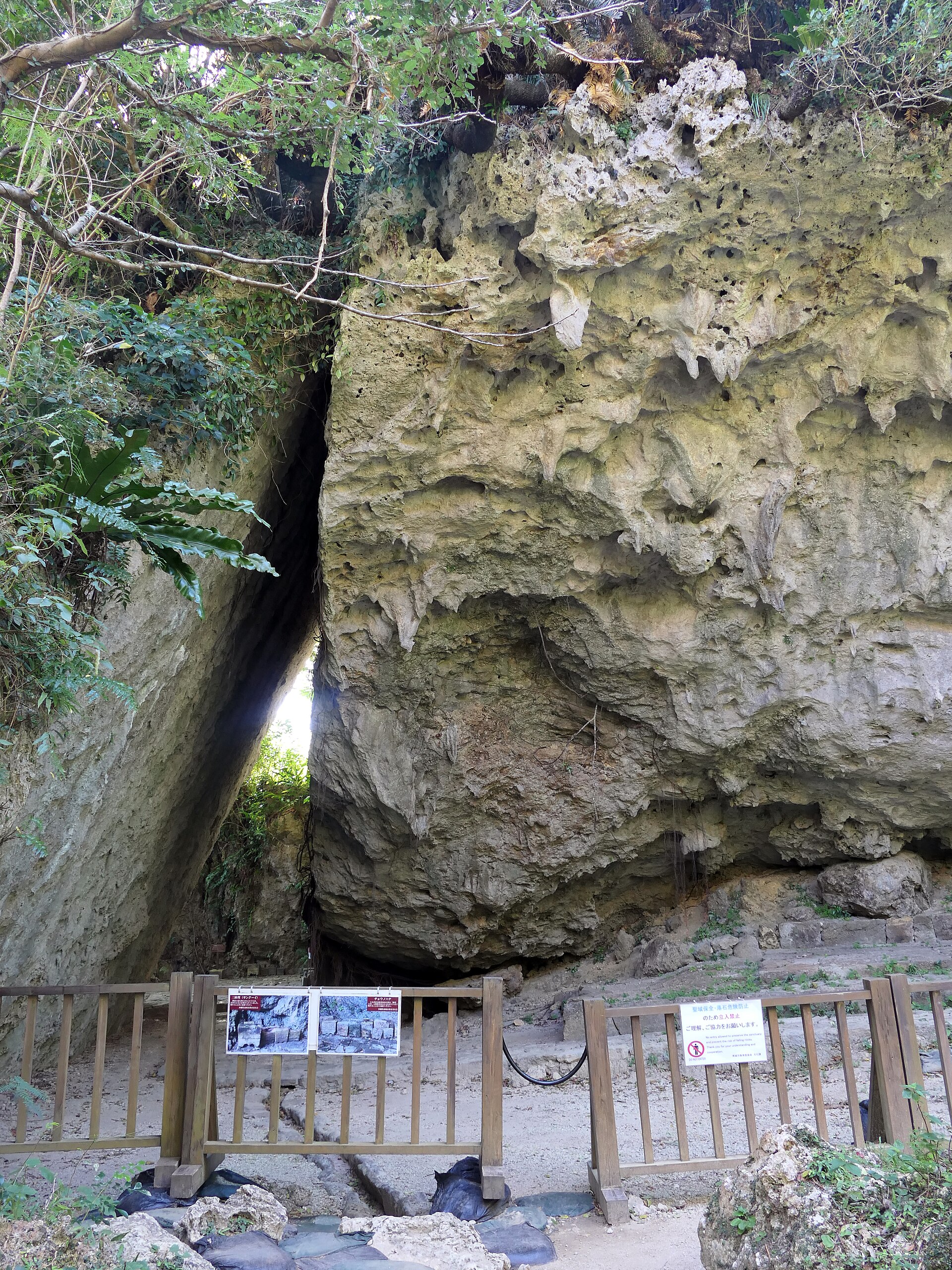
A wooded limestone slope on Okinawa's south-east coast that was the highest sacred site of the Ryukyu kingdom. A stone path, a run of open prayer terraces, and a triangular gap in the rock that faces the sea.
- FromNaha Bus Terminal
- ~60 minToyo Bus 338, direct from Naha
- Get off atSefa-utaki-iriguchi (Toyo Bus 338, Sefa-utaki Line)
- On foot
- Sefa-utaki
Where it is
41 more notes in Okinawa · open the map →What to look for — in walking order
- The stone path from the gatedamp, uneven stone climbing into the forest, which is why sandals are not allowed
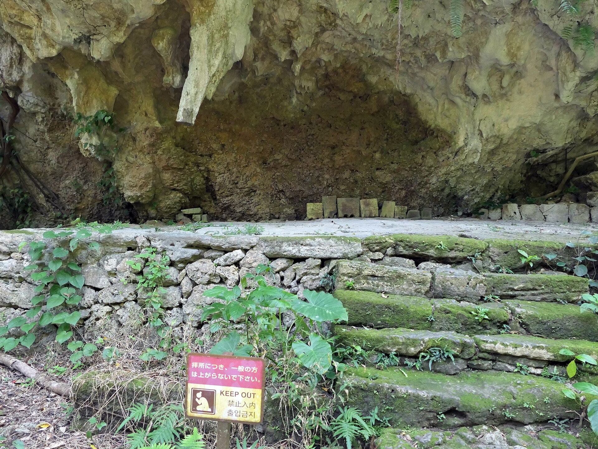
- Ufuguithe first of the open prayer terraces, paved and set under the rock
- Yuinchia second terrace against the rock face, marked off so visitors do not step up onto it
- The two pots below the rockvessels set to receive the water that drips from the limestone above
- Sanguithe triangular gap where two slabs lean together, with the sea toward Kudaka Island beyond
How to actually get there
- Naha Bus Terminal → Sefa-utaki-iriguchi (Toyo Bus route 338, the Sefa-utaki Line, about 60 min).
- Buy the ticket at the counter beside the Nanjo City Local Products Center.
- Walk on to the site entrance, then up the stone path past the terraces to Sangui.
- Return to Route 331 for a bus back toward Naha.
- Toyo Bus route 338 from Naha Bus Terminal
- Naha Bus Terminal, stand 7 →(Toyo Bus route 338, the Sefa-utaki Line, about 60 min)→ the Sefa-utaki-iriguchi stop on Route 331. There is also a change-over route: Okinawa Bus or Toyo Bus as far as Nanjo City Hall, then the city's own N-Bus to the same stop.
- Return toward Naha
- Buses back to Naha leave from the roadside stop on Route 331. Read the return times posted at the stop when you arrive rather than after your visit, and keep the N-Bus to Nanjo City Hall in mind as the fallback.
About the place
Sefa-utaki has no hall and no gate building. It is a wooded limestone slope on the Chinen peninsula in Nanjo, on the south-east coast of Okinawa Island, where a stone path climbs between outcrops to a run of open terraces. Each terrace was a place of prayer for the Ryukyu kingdom. The last of them is a triangular gap where two leaning slabs meet, and the sea beyond it opens toward Kudaka Island. People still pray here, which is why the site keeps rest days and asks visitors to dress and move accordingly.
How to enjoy it
The site opens at 9:00. From March to October it closes at 18:00, with the last ticket sold at 17:15; from November to February it closes at 17:30. Allow about an hour, counting the walk up from the ticket counter. Six days a year it closes to rest, three in the fifth lunar month and three in the tenth, so those dates move each year and are worth checking before you set out.
Background & history
Sefa-utaki was the highest of the Ryukyu kingdom's sacred sites, and the place where the kingdom's own high priestess, the kikoe-ogimi, was installed. Its terraces face Kudaka, the island the kingdom held to be where the gods first came ashore. In 2000 the site was inscribed by UNESCO as part of the Gusuku Sites and Related Properties of the Kingdom of Ryukyu. It is a national historic site as well, and prayer here has never stopped.
Before you go
- Cash
- Admission is charged, and tickets are sold at the counter beside the Nanjo City Local Products Center, not at the entrance to the site itself. The official site gives notice that the rate is due to change, so check it before you go. Guided tours are arranged at the same counter.
- Good to know
- The way beyond the entrance to Sangui is closed: you can see the triangular gap but cannot walk through it. The site also shuts on its lunar-calendar rest days. The stone path is uneven and often wet under the trees, and sandals are not allowed.
- Another way
- By car the site is on Route 331 along the Chinen coast, and the car park is at the Nanjo City Local Products Center, the same building as the ticket counter. Within Nanjo, the city's reservation minibus, Odekake Nanjii, also serves the area.
- After you get off
- From the stop on Route 331 the products centre and its ticket counter are right there. The entrance to the site is a few minutes further along the road on foot, so buy the ticket first and walk up afterwards.
Nearby notes
 Kugel~commonswiki / CC BY-SA 4.0
Food · Okinawa★★
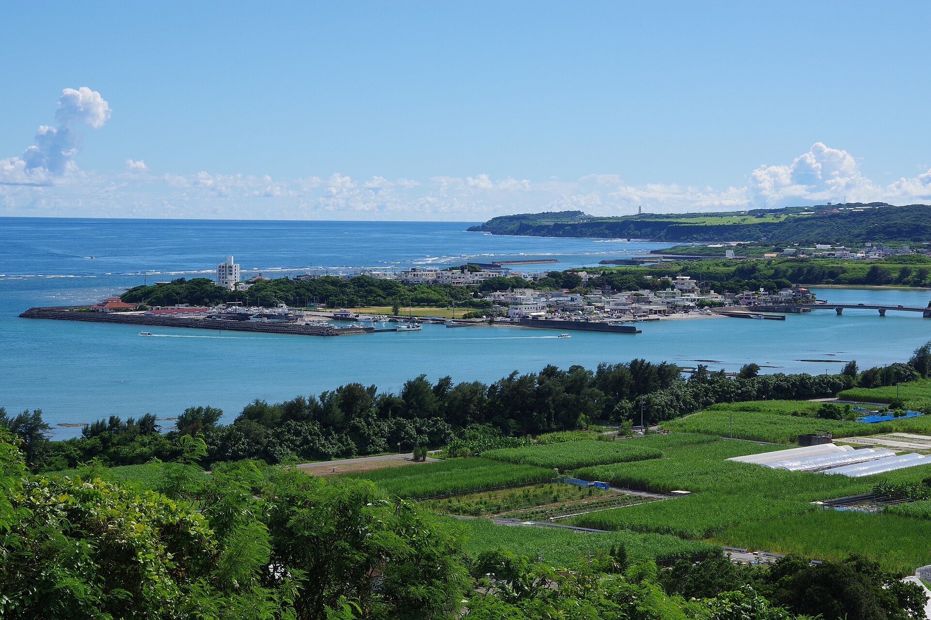
Ou Island
7.2 km · straight line
 Kugel~commonswiki / CC BY-SA 4.0
Culture · Okinawa★★
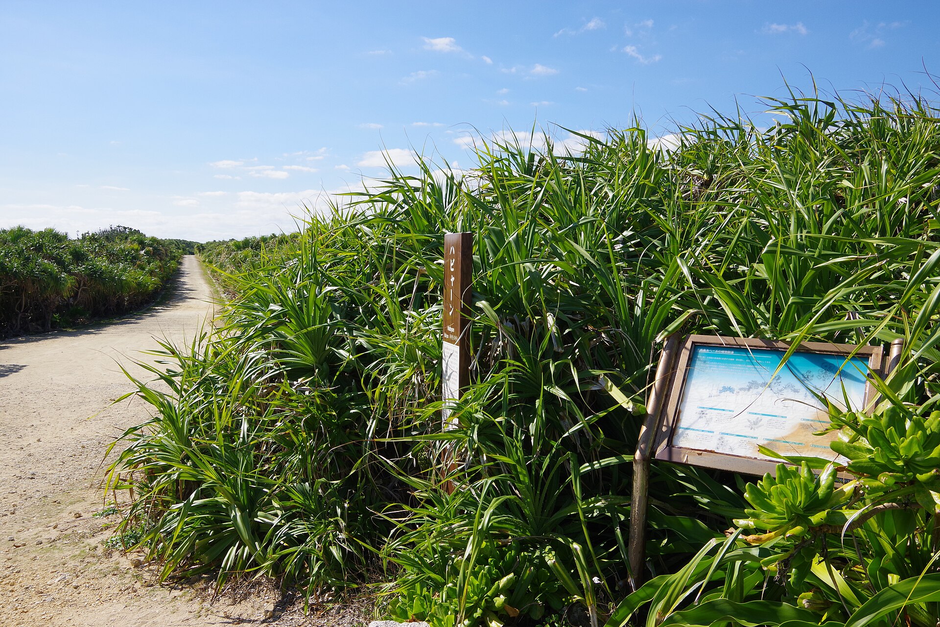
Kudaka Island
8.2 km · straight line
 Suicasmo / CC BY-SA 4.0
Nature · Okinawa★★★
Okinawa World
8.6 km · straight line
 663highland / CC BY 2.5
Food · Okinawa★★★
Awamori of Shuri Sanka
11.4 km · straight line
Distances are straight lines on the map, not travel times.