Northwest Oita · NakatsuNo.923★★Open in map →
Yabakei Gorge
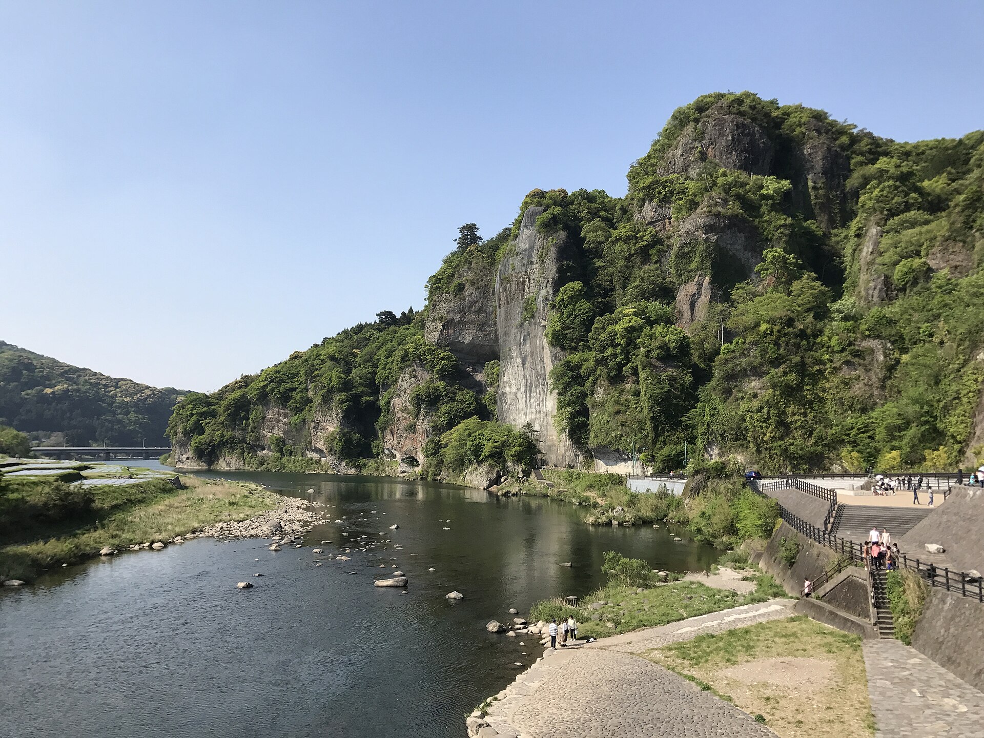
A valley of volcanic pinnacles on the Yamakuni river in northwest Oita, with a road cut through the cliff face by a single monk. Japan put it on its own list of great views long before the foreign guidebooks arrived.
- FromHakata Station
- ~2 hrJR Sonic, then Daiko bus
- Get off atNakatsu Station (JR Nippo Main Line)
- From there
- Yabakei Gorge
The sweet spot
Yabakei is famous in Japan and has been a national scenic site since before the war, so nothing about it is undiscovered. Almost none of that fame reaches foreign visitors, and the valley sits an hour off the Beppu route that brings people to Oita. Buses up the gorge are thin enough that most Japanese visitors drive, so on a weekday the riverside path can be quiet without anyone planning it that way.
Where it is
12 more notes in Oita · open the map →What to look for — in walking order
- Yabakei bridgea stone arch bridge over the Yamakuni, known locally as the Dutch bridge
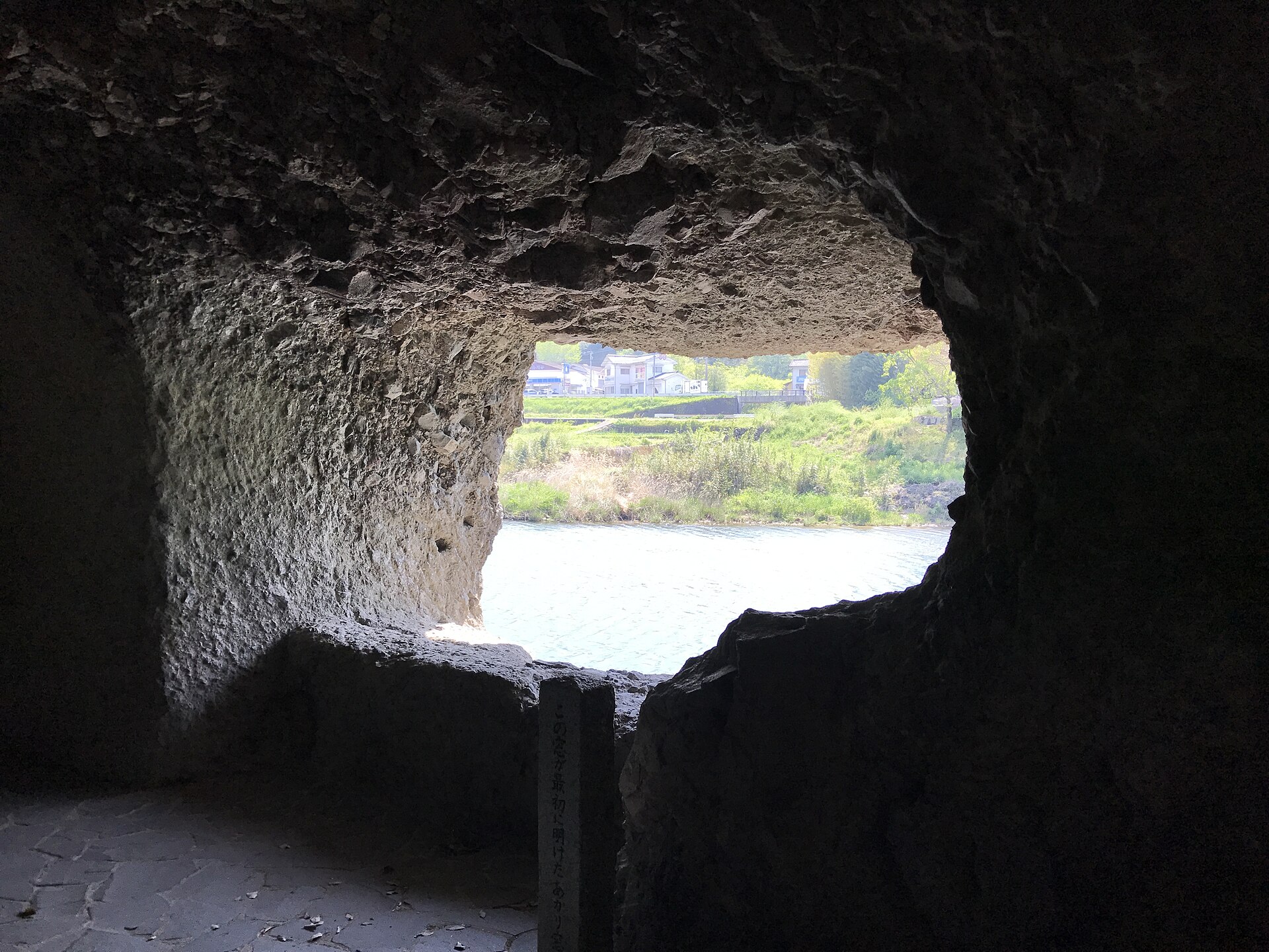
- Ao no Domonthe hand-cut passage through the cliff, with its openings still looking out on the river
- Kyoshuhothe wall of pinnacles the tunnel had to get past, with a marked path along its foot
- Yabakei Fubutsukanthe Japan Heritage centre by the road, where the separate valleys are set out together
- Rakanjia cliff temple on the slope south of the tunnel, reached by a stone path
How to actually get there
- Hakata Station → Nakatsu Station (JR limited express Sonic, Nippo Main Line).
- Nakatsu Station → Ao no Domon (Daiko Hokubu bus up the Yamakuni river toward Moriminori). Note the return times.
- Walk the hand-cut passage, then the riverside path under Kyoshuho.
- Add the cliff temple to the south, or ride further up to Shin-Yabakei, only if the return timetable allows it.
- Hakata to Nakatsu on the Sonic
- The JR limited express Sonic runs from Hakata through Kokura and down the coast to Nakatsu, which is a scheduled stop for the service. Trains run through the day, so this leg is the easy half of the trip.
- Back down the valley to Nakatsu
- The bus is the only public way out of the gorge and the last departure is early in the evening. Nakatsu itself has trains north to Kokura and south to Beppu until late, so what constrains the day is the bus, not the train.
About the place
Yabakei is not one place. The name covers Hon-Yabakei on the Yamakuni river, Shin-Yabakei up a side valley, and Ura- and Oku-Yabakei beyond, all of them cut into the tuff and lava left by old volcanoes. At Hon-Yabakei the river runs at the foot of Kyoshuho, a wall of pinnacles the road has to squeeze past, which is the reason the tunnel exists at all. Downstream stands the Yabakei bridge, 116 metres of stone arches and the longest of its kind in the country. The rock reads as one continuous piece of scenery only from the water side, so the walking here is along the river rather than above it.
How to enjoy it
Two hours covers the tunnel, the foot of the cliff and the bridge at an unhurried pace, and adding the cliff temple makes it half a day. Autumn is when the valley is most photographed and most crowded; the same rock reads well in early summer, when the walls are green and the buses are empty. Check the return departure before you start walking, because services up this valley are few and the last one is early.
Background & history
The poet Rai San'yo gave the gorge its Chinese-styled name in 1818, after riding through it. Long before that the monk Zenkai had begun chiselling the passage now called Ao no Domon, and it took him roughly thirty years; the finished road then charged travellers a toll. In 1894 Fukuzawa Yukichi, a son of Nakatsu, bought the land under Kyoshuho to stop the cliff being quarried away. Japan voted the gorge one of its three new great views in 1916, and the state designated it a national scenic site in 1923.
Before you go
- Cash
- The tunnel and the riverside path cost nothing to walk. The cliff temple and the heritage centre are charged separately, and the bus takes a cash fare, so carry small notes and coins.
- Good to know
- Autumn weekends fill the single road through the gorge and the buses slow with the traffic. The passage is dim and the footing damp in rain. This is inland country, colder in winter than the coast at Nakatsu.
- Another way
- Shin-Yabakei, the side valley holding the Hitome Hakkei viewpoint, is further up the same road and is the other half of the gorge, though services there are thinner still. By car the whole area is a few minutes from the Ao-no-Domon Rakanji interchange.
- After you get off
- Nakatsu Station is the transfer point, not the gorge. Ao no Domon lies well upriver, and the Daiko Hokubu bus toward Moriminori runs there along the Yamakuni, setting down at a stop named after the tunnel. From that stop the passage is already at the roadside.
Nearby notes
 Mti / CC BY-SA 3.0
Food · Oita★★★
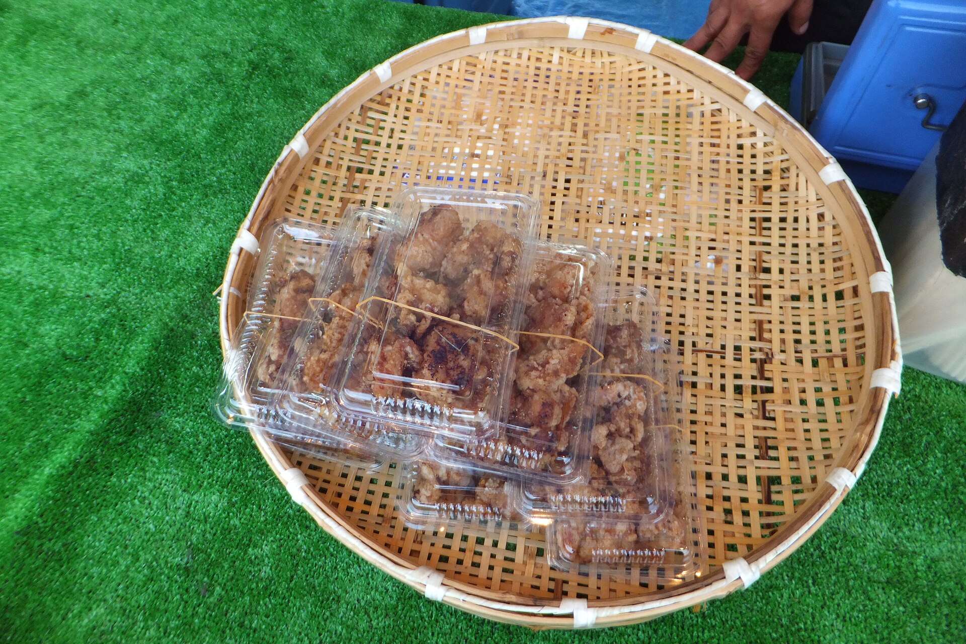
Nakatsu Karaage
11.2 km · straight line
 Dana + LeRoy Bunward / CC BY 2.0
History · Oita★★★
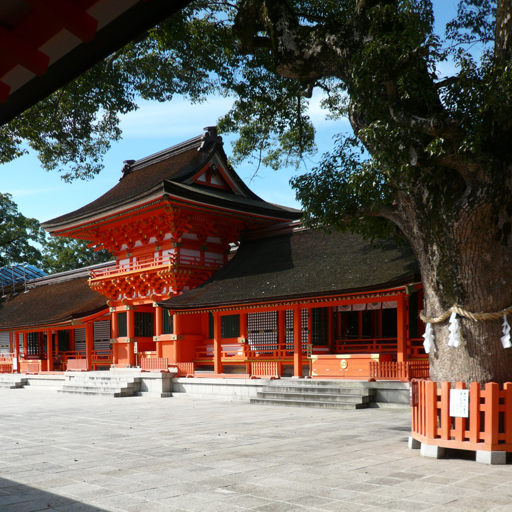
Usa Jingu
19.1 km · straight line
 そらみみ (Soramimi) / CC BY-SA 4.0
History · Fukuoka★★
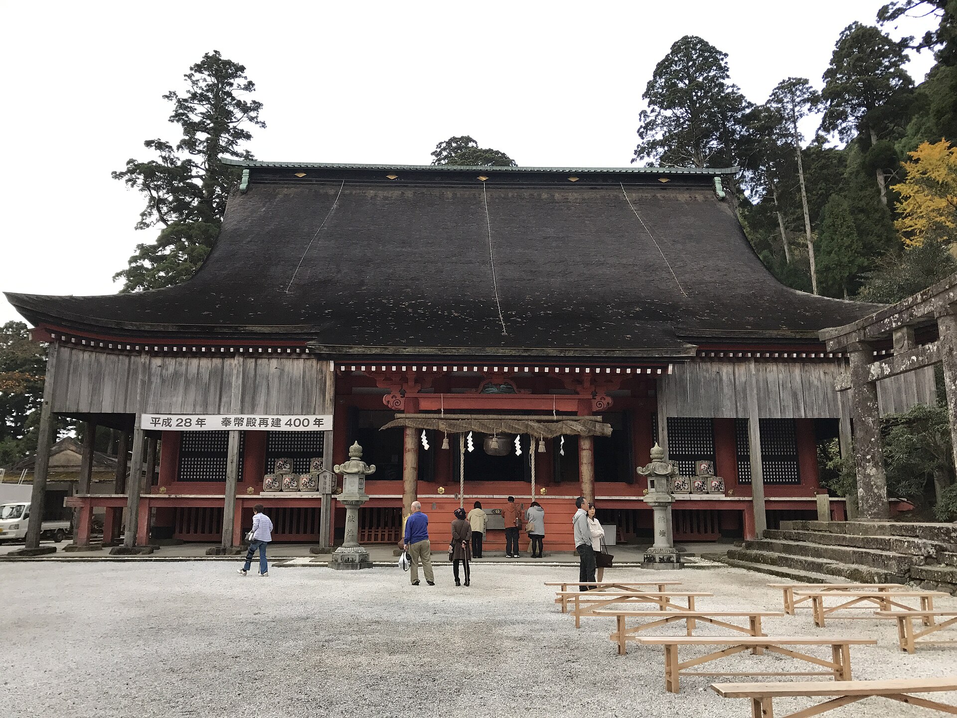
Hikosan Jingu
24.3 km · straight line
 Mukai / CC BY-SA 3.0
History · Oita★★
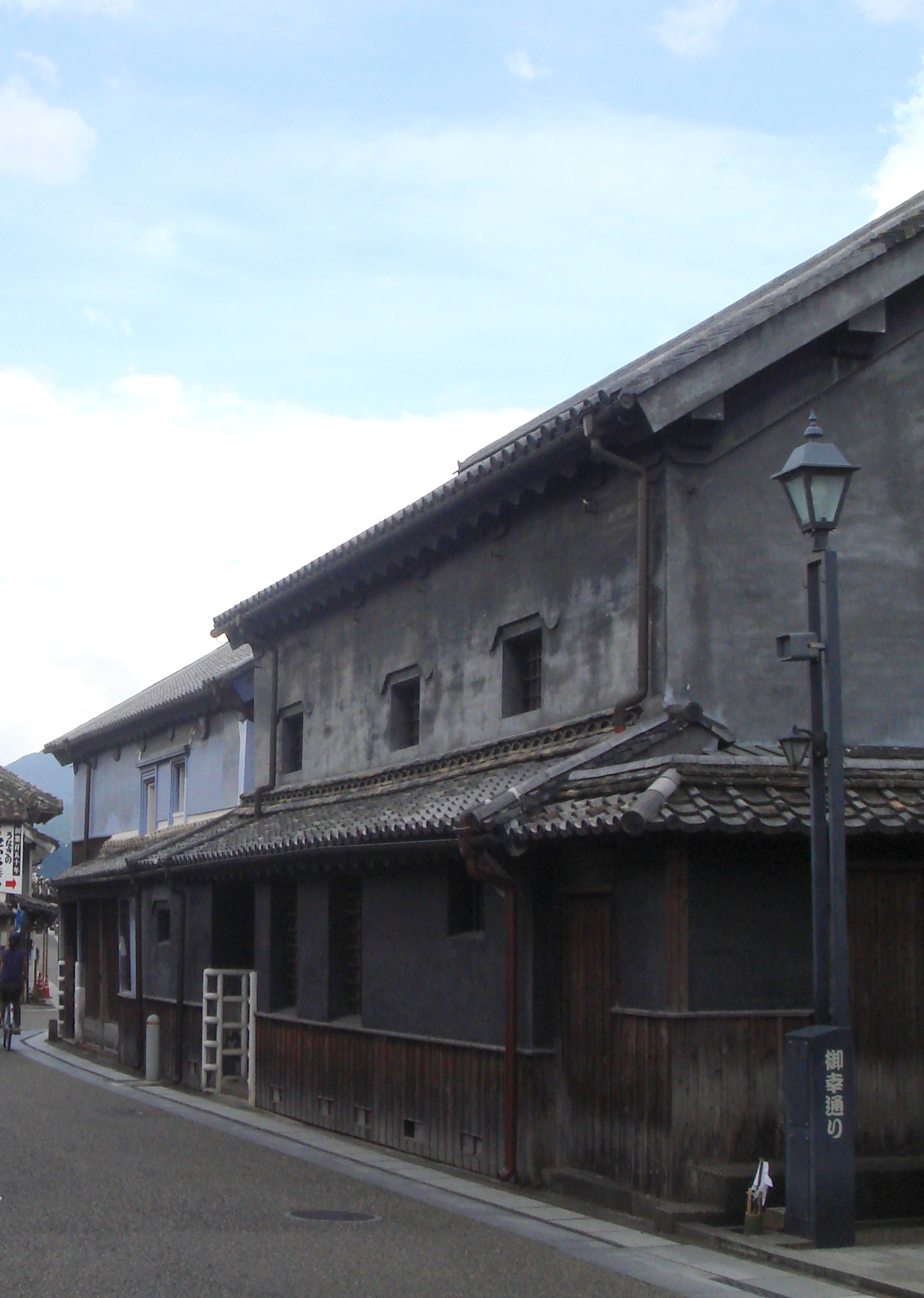
Hita Mameda-machi
29.0 km · straight line
Distances are straight lines on the map, not travel times.