Chiba south-east · OtakiNo.113★Open in map →
Awamata Falls
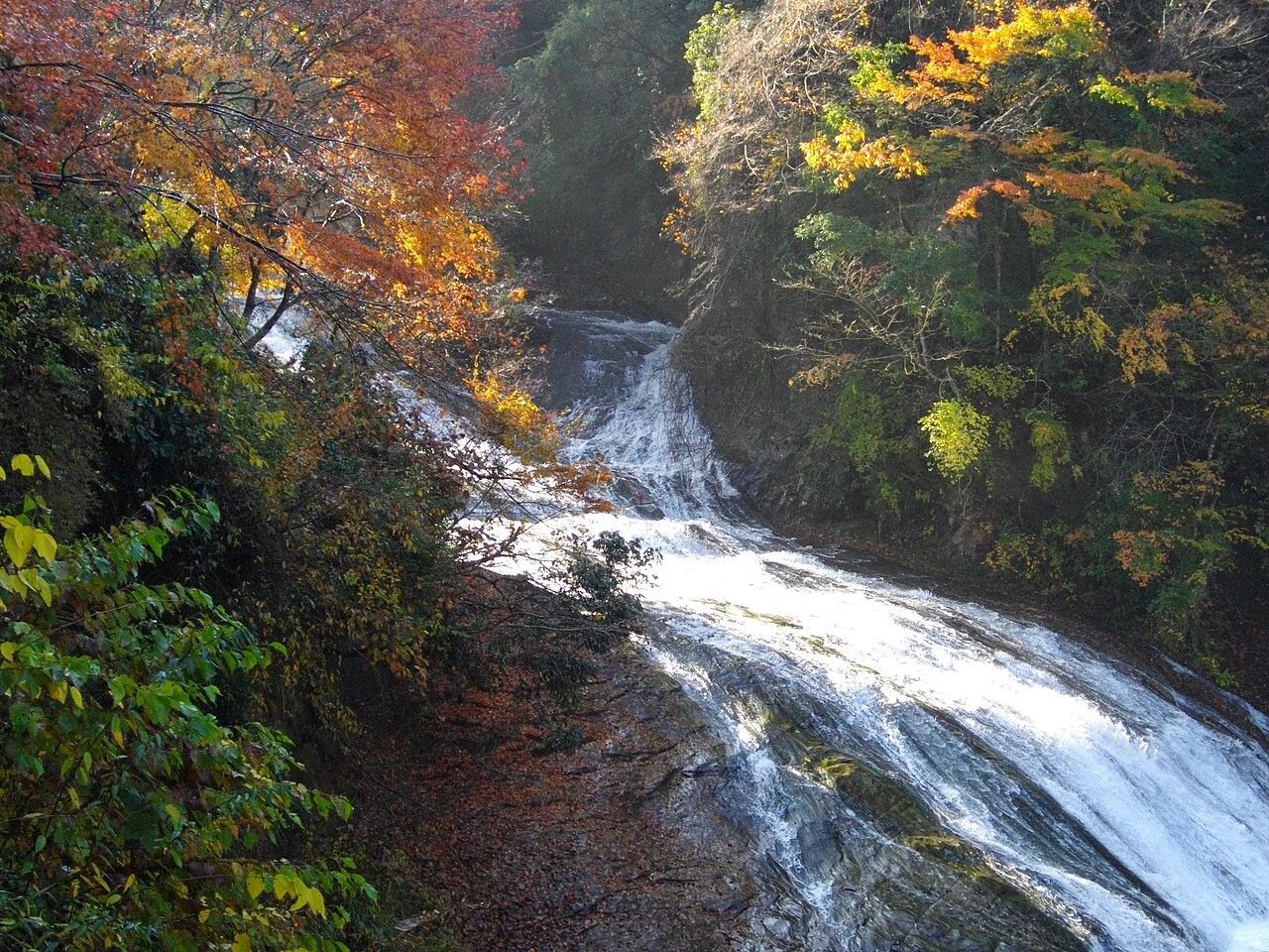
The Yoro River fans out and slides roughly 100 metres down gently tilted rock rather than dropping sheer — a wide, walkable cascade deep in Chiba's Boso hills.
- FromTokyo Stn
- ~150 minbus ×5/day
- Get off atAwamata Falls stop (from Yorokeikoku Stn)
- From there
- Awamata Falls
The sweet spot
It sits far inland in Chiba, and the last leg needs a train transfer plus an infrequent local bus, so it rarely makes a Tokyo day-trip shortlist. There is also little English-language travel information about it.
Where it is
50 more notes in Chiba · open the map →What to look for — in walking order
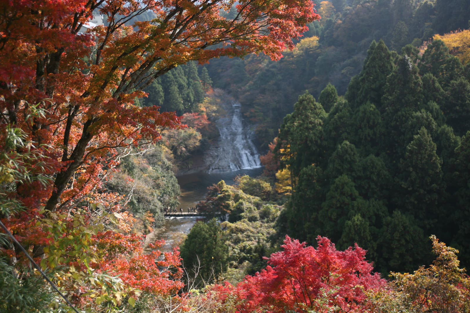
- The 100-metre slidewater sheeting across 30 metres of tilted rock in a long, walkable cascade
- Riverside nature trailroughly 2 km path linking Awamata Falls with smaller falls downstream
- Autumn coloursmaple trees in the valley turn red from late November into early December
- Yoro Valley settinga wooded gorge on the upper Yoro River, among the greener corners of the Boso hills
How to actually get there
- Tokyo Stn → Goi Stn (Uchibo Line rapid, ~60 min)
- Goi Stn → Yorokeikoku Stn (Kominato Railway, ~60 min)
- Yorokeikoku Stn → Awamata Falls stop (Kominato bus, ~14 min)
- Bus stop → the falls (steps down, a short walk)
- JR + Kominato Railway + local bus
- Tokyo Stn →(Uchibo Line rapid, ~60 min)→ Goi Stn →(Kominato Railway, ~60 min)→ Yorokeikoku Stn →(Kominato bus toward Awamata / Goriyaku-no-yu, ~14 min)→ Awamata Falls stop. Total about 2.5 hours. The bus runs only about 5 times a day — check the day's timetable before you leave.
- Return the same way
- The local bus back from the falls to Yorokeikoku Stn runs only about 5 times a day, and the last one leaves the falls in mid-afternoon. When you arrive, check the return times posted at the bus stop and plan around them.
About the place
Awamata Falls is not a sheer plunge but a long, gradual cascade. The water spreads across a rock face about 30 metres wide and slides some 100 metres, dropping around 30 metres in height. Because the flow is so shallow and broad, it reads as a moving sheet of water rather than a single tall drop. It sits on the upper Yoro River inside Yoro Valley — a wooded gorge in the town of Otaki — and is one of Chiba's best-known waterfalls. A riverside nature trail, roughly 2 kilometres long, continues downstream past several smaller cascades.
How to enjoy it
Late November brings the maple leaves to their peak, though the gorge stays cool and green through summer. From the parking area it is roughly a ten-minute walk down to the falls. Continue along the riverside trail to take in several smaller cascades if you want a longer walk.
Background & history
The waterfall's formal name is Taka-taki, but local guides universally call it Awamata Falls, and it is also known as Yoro-no-taki after the river. It lies in the Awamata district of Otaki Town, Isumi District. A riverside walking trail — the Awamata Falls Nature Trail — links the base of the falls with smaller falls roughly 2 kilometres downstream along the Yoro River.
Before you go
- Cash
- The Kominato Railway line and its local buses do not take IC cards, so carry cash and some coins for the fare (the bus to the falls is around 460 yen).
- Good to know
- The path down to the falls is a slope with steps, so go in daylight and watch your footing after rain.
- Another way
- A car makes the last winding stretch easier and frees you from the sparse bus timetable.
- After you get off
- From the Awamata Falls bus stop, a steep flight of steps leads straight down to the falls.
Nearby notes
 coniferconifer / CC BY-SA 3.0
Onsen · Chiba★
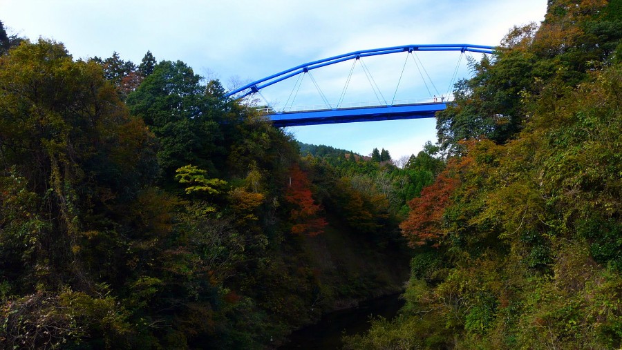
Yoro Valley's black water
4.4 km · straight line
 Σ64 / CC BY 3.0
History · Chiba★★
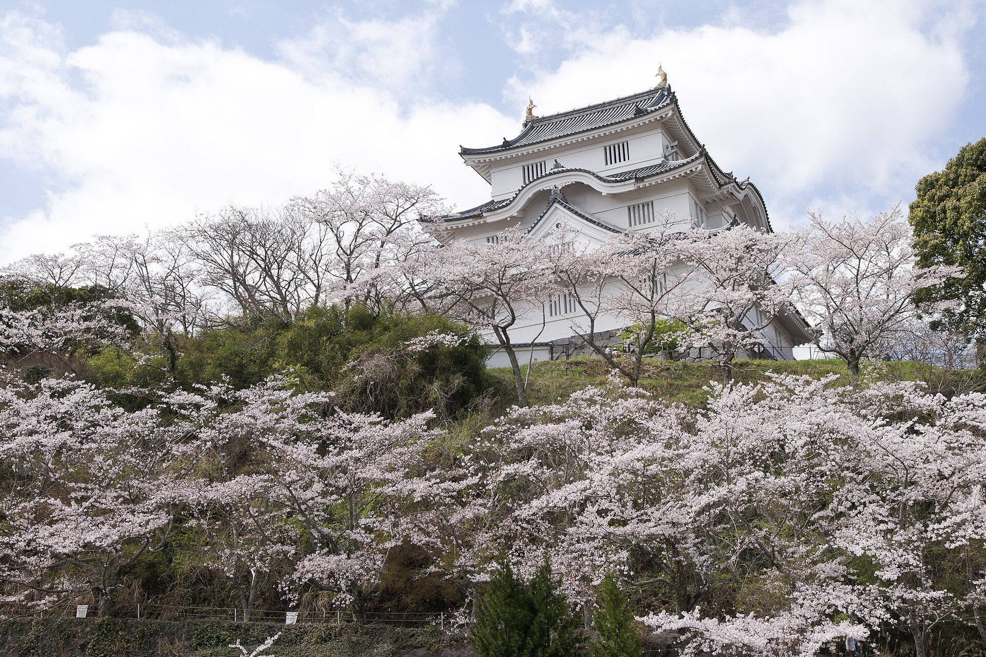
Otaki Castle Town
9.0 km · straight line
 Sakaori / CC BY-SA 3.0
Nature · Chiba★★
Tainoura
11.2 km · straight line
 Tetsuji Sakakibara / CC BY-SA 2.0
Nature · Chiba★★
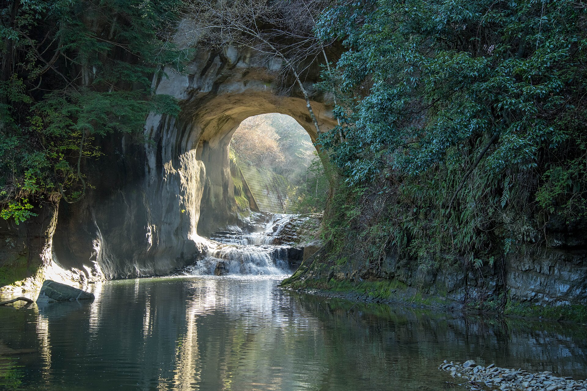
Kameiwa Cave and Nomizo Falls
11.7 km · straight line
Distances are straight lines on the map, not travel times.