Gunma · Numata / Oze gatewayNo.359★★Open in map →
Fukiware Falls
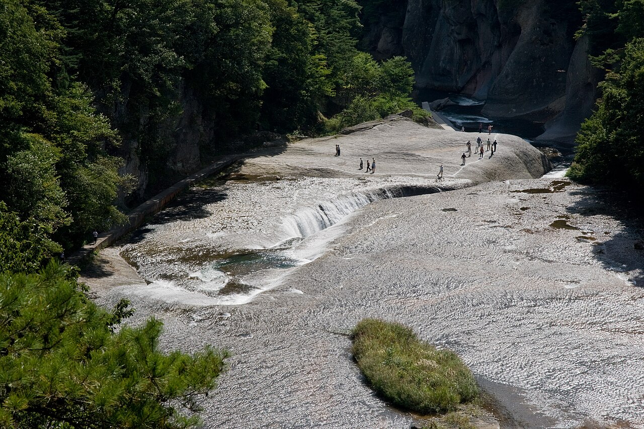
A waterfall in Numata, Gunma, about 7 metres high and 30 metres wide, where the Katashina River pours into a fissure split through its own rock bed. Water erosion opened the crack over roughly ten thousand years, and the walking loop takes about an hour.
- FromTokyo Stn
- ~180 mintrain + bus (~45 min bus)
- Get off atFukiware-no-taki bus stop
- On foot
- Fukiware Falls
The sweet spot
The falls are the reason to come, but the ground is the reason to stay. You are not on a viewing deck — you are standing on the polished rock floor the river has been cutting for ten thousand years, close enough to see how the split propagates. That is also why it demands care: parts of the path are narrow, the rock is slick when wet, and the whole thing shuts for the winter.
Where it is
20 more notes in Gunma · open the map →What to look for — in walking order
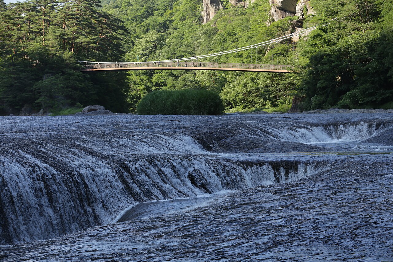
- The split itselfthe fissure the whole river turns into, seen from the riverbed shelf beside it — level with the water rather than below it
- The polished rock floorthe flat volcanic shelf you walk on, scoured smooth by the river; slick when wet, with no fence on the water side
- The gorge path to Junisamafifteen numbered points along the Katashina gorge, with observation platforms and a small temple, ending at the Junisama viewpoint
- The shops on Route 120the row of local restaurants and souvenir stands above the falls, the practical place to eat between infrequent buses
How to actually get there
- Tokyo Station → Takasaki (Joetsu / Hokuriku Shinkansen, ~50 min).
- Takasaki → Numata Station (JR Joetsu Line, ~45 min).
- Numata Station → Fukiware-no-taki stop (Kanetsu Kotsu bus toward Kamata, ~45 min; only a few services a day).
- Walk down from Route 120 to the riverbed, then follow the marked loop past the falls (about 1 hour in full).
- Shinkansen + JR + local bus
- Tokyo Station →(Joetsu / Hokuriku Shinkansen, ~50 min)→ Takasaki →(JR Joetsu Line, ~45 min)→ Numata Station →(Kanetsu Kotsu bus bound for Kamata, ~45 min)→ Fukiware-no-taki stop. Total about 3 hours. The Kamata bus is the Oze-bound route and runs only a handful of times a day — check the day's timetable before you leave Tokyo, not after you arrive in Numata.
- The same bus back down to Numata
- Return buses toward Numata Station stop at the same Fukiware-no-taki stop and are equally infrequent. Note the return departures on the timetable at the stop before you walk down to the river, and give yourself a margin — the loop takes about an hour and the rock slows people down more than they expect.
About the place
Almost every famous waterfall in Japan works the same way: a river reaches the lip of a cliff and falls off it, and you stand at the bottom looking up. Fukiware does the opposite. The Katashina River runs across a flat sheet of volcanic rock, and along one line the rock has cracked. Over something like ten thousand years the water has worn that crack wider and deeper until the entire river now turns sideways and pours into it — a drop of about 7 metres across a width of about 30 metres, all of it below the level of the ground you are standing on. The nickname locals use is the Oriental Niagara, which oversells the scale and undersells the strangeness. The rock shelf you walk on is the riverbed itself: wet, polished smooth, faintly sloping toward the gap, with no railing between you and the water on the shelf side. The marked route continues past the falls along the gorge, through fifteen numbered points and up to a viewpoint called Junisama, and takes about an hour to walk in full.
How to enjoy it
Do the full loop rather than just the falls — the walk up the gorge is where the hour goes, and the view back down from the higher platforms explains the geology better than standing on top of it does. Wear shoes with grip: the riverbed shelf is polished stone and it is genuinely slippery in the wet. Because the Kamata bus runs only a few times a day, build the day around the return departure and eat at the shops by the stop rather than gambling on making an earlier bus. Check the Numata City site the morning you go for closure notices.
Background & history
The bedrock here is volcanic, and the fissure is a fault line in it that the Katashina River found and exploited. Numata City puts the timescale at around ten thousand years of erosion to open the crack to its present width — roughly 30 metres across, with a drop of about 7 metres. The site is protected as a national natural monument and counted among Japan's hundred notable waterfalls, and the numbered walking route along the gorge takes in observation platforms and a small temple before ending at the Junisama viewpoint.
Before you go
- Cash
- There is no admission charge for the falls or the walking trail. The shops and restaurants along the approach road are small local businesses, so carry cash for food, souvenirs and parking rather than assuming cards.
- Good to know
- The riverside trail is normally closed for winter from around mid-December to late March. Separately, sections of the path have been closed at times because of bear activity on the mountain side — Numata City posts the current closures on its website, and it is worth checking on the morning you travel. The rock shelf has no fence on the water side; stay behind the marked line, and treat it as genuinely slippery after rain.
- Another way
- By car it is roughly 20 minutes from Numata IC on the Kan-Etsu Expressway along Route 120, with paid car parks at the shops by the approach. Coming from Nikko rather than Tokyo, Route 120 runs over Konsei Pass and reaches the falls from the other side.
- After you get off
- The Fukiware-no-taki bus stop is on Route 120 beside a line of souvenir shops and restaurants; from there a short signed path drops down to the riverbed in a few minutes.
Nearby notes
 Qurren / CC BY-SA 4.0
Onsen · Gunma★★
Minakami Onsen
22.4 km · straight line
 Guilhem Vellut from Annecy, France / CC BY 2.0
Nature · Tochigi★★
Senjogahara
22.7 km · straight line
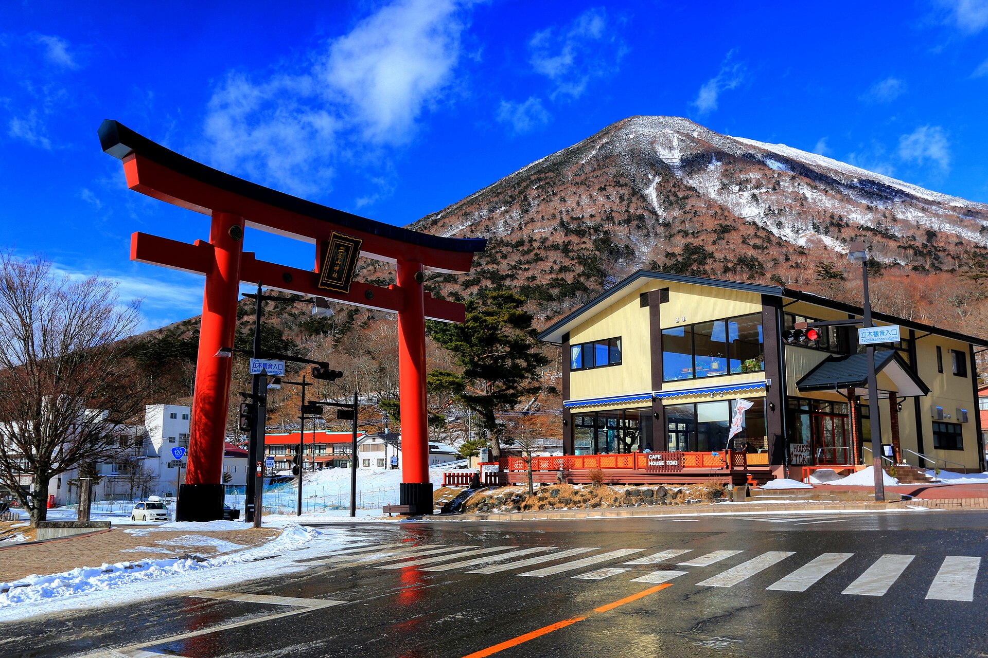 くろふね / CC BY-SA 4.0
Culture · Tochigi★★★
Futarasan Chugushi Shrine
25.3 km · straight line
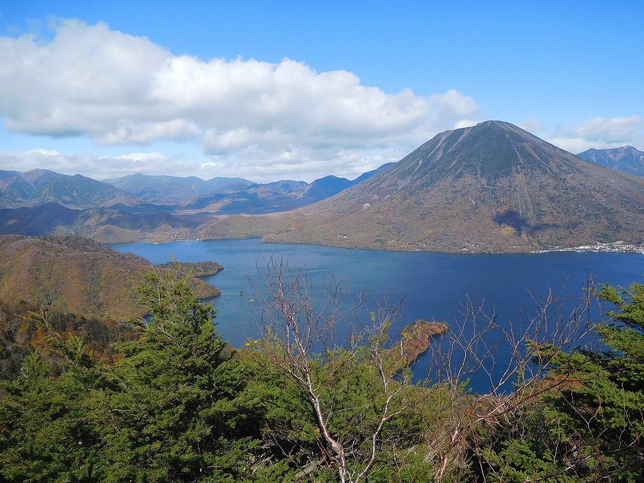 Miyuki Meinaka / CC BY-SA 4.0
Nature · Tochigi★
Lake Chuzenji
25.8 km · straight line
Distances are straight lines on the map, not travel times.