Tochigi · Oku-NikkoNo.358★★Open in map →
Senjogahara
— a marsh crossed on a wooden boardwalk
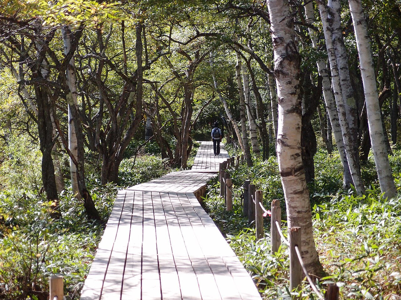
A highland marsh of about 400 hectares in Oku-Nikko, sitting at roughly 1,400 metres. A raised plank boardwalk runs through the middle of it, so the crossing is flat walking, and 175 hectares of the wetland is registered under the Ramsar Convention.
- FromAsakusa Stn (Tokyo)
- ~210 mintrain + bus (~70 min bus)
- Get off atAkanuma bus stop
- From there
- Senjogahara
The sweet spot
Most people going to Nikko stop at Toshogu and Kegon Falls and turn around. Senjogahara is one more stretch of the same bus route, and it is a completely different country — no shrines, no vermilion, no roofs, just open sky, subalpine grass and the cone of Mt. Nantai on the skyline. The boardwalk is the whole point: it makes a protected Ramsar wetland walkable in trainers in about two hours, which is not a sentence you get to write about many wetlands.
Where it is
16 more notes in Tochigi · open the map →What to look for — in walking order
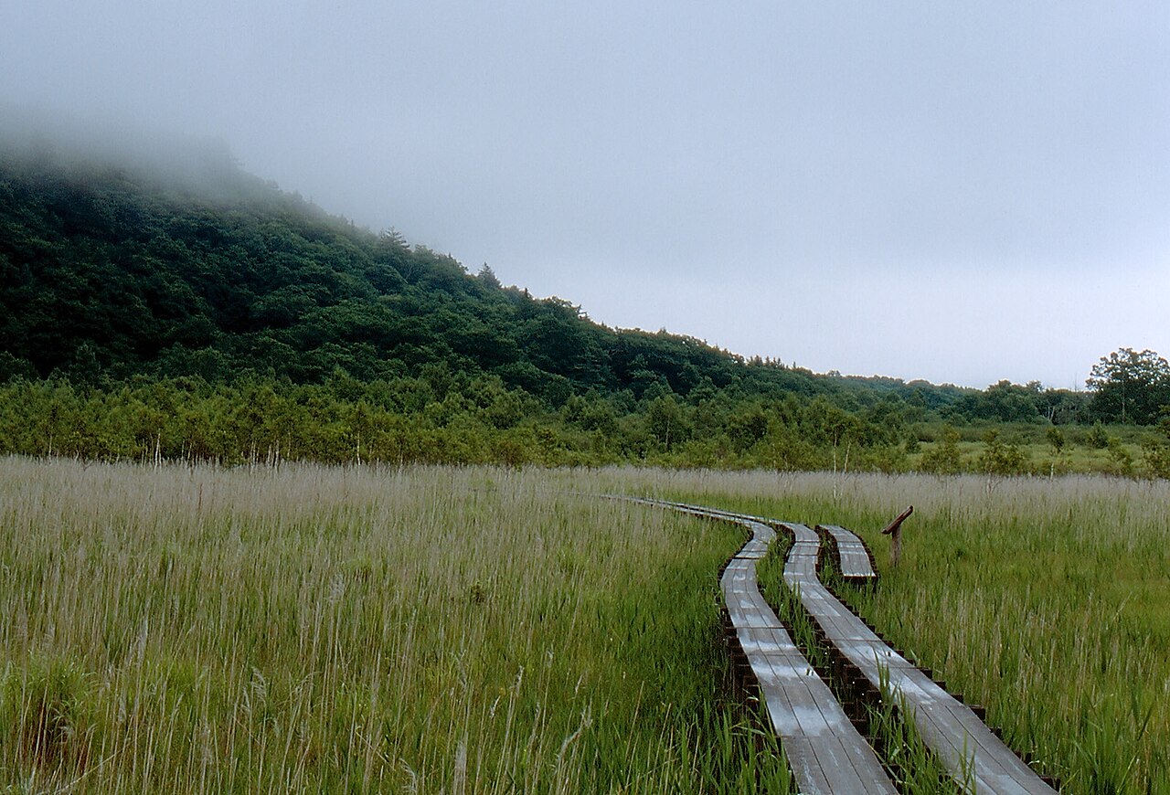
- The raised boardwalkthe plank walkway that carries the nature trail across the peat; flat the whole way, and the reason the marsh is walkable at all
- Cotton grass and meadowsweetmid-June to early August, when the marsh is at its most flowered; late September to early October the grasses turn rust-red instead
- The view to Mt. Nantaifrom around the Sanbonmatsu stop, the open plain with the volcano that created it standing on the skyline
- Yudaki and Ryuzu Fallsthe waterfalls at either end of the plateau, both on the same bus route, which turn the crossing into a full day out
How to actually get there
- Asakusa Station (Tokyo) → Tobu-Nikko Station (Tobu Nikko Line limited express, ~2 hr, direct).
- Tobu-Nikko Station → Akanuma bus stop (Tobu bus toward Yumoto Onsen, ~65-70 min, up the Irohazaka switchbacks and past Lake Chuzenji).
- Akanuma → the boardwalk, which starts directly behind the car park.
- Walk the nature trail across the marsh (about 2 hours) and pick up the same bus route at Sanbonmatsu, Ryuzu-no-taki or Yudaki for the way back.
- Tobu limited express + Tobu bus
- Asakusa Station (Tokyo) →(Tobu Nikko Line limited express, ~2 hr, direct)→ Tobu-Nikko Station →(Tobu bus bound for Yumoto Onsen, ~65-70 min)→ Akanuma bus stop, where the boardwalk begins. Total about 3.5 hours one way. The bus climbs the Irohazaka switchbacks and then keeps going past Lake Chuzenji, so allow extra time in the autumn foliage season.
- Bus down from wherever you finish
- The Yumoto Onsen bus route runs along the whole plateau, so you can walk one way and catch the bus back from Akanuma, Sanbonmatsu, Ryuzu-no-taki or Yudaki rather than retracing your steps. Buses down to Nikko thin out in the late afternoon and this is not a place to be stranded — check the return times posted at the stop when you arrive, before you start walking.
About the place
The ground you walk on used to be a lake. Eruptions of Mt. Nantai dammed this valley, water pooled behind the dam, and over a very long time the pool silted up and turned into peat — a high moor of about 400 hectares sitting at roughly 1,400 metres above sea level. About 350 species of plants grow here, and it is one of the better-known bird-watching grounds in eastern Japan. The colour of the place changes hard with the season: cotton grass and meadowsweet from June into early August, then from late September into early October the whole plain turns rust-red as the grasses go over. The name means 'battlefield plain', and the local explanation is a myth rather than a war — the gods of Mt. Nantai and Mt. Akagi are said to have fought here over possession of Lake Chuzenji. Because the peat is fragile, walkers are kept off it entirely: a raised wooden boardwalk carries the nature trail across, which is also why the walk is flat and why almost anyone can do it.
How to enjoy it
Walk it one way rather than out and back — start at Yudaki at the top end and finish at Akanuma, or the reverse, and use the bus for the return. That is roughly two hours of flat boardwalk and it does not repeat itself. Come early if you can: the birds are active, the mist sits on the plain, and the marsh is genuinely quiet before the tour coaches reach Oku-Nikko. Check the return bus times at the stop before you set off, and take a windproof layer whatever the Tokyo forecast says.
Background & history
Senjogahara exists because of a volcano. Eruptions of Mt. Nantai blocked this valley, the trapped water formed a lake, and the lake gradually filled with sediment and peat until it became a high moor. The name — 'battlefield plain' — is explained locally by a legend in which the deities of Mt. Nantai and Mt. Akagi fought over Lake Chuzenji on this ground. Today 175 hectares of the marsh is registered under the Ramsar Convention as a wetland of international importance for waterfowl, as part of the Oku-Nikko Shitsugen site, and the boardwalk exists to keep feet off the peat.
Before you go
- Cash
- The marshland is inside a national park with no gate and no ticket — walking the boardwalk is free. Your costs are the train and the bus, both of which the Tobu Nikko-area passes cover. Carry cash anyway: the shops, toilets and rest houses up here are small and card acceptance is patchy above Lake Chuzenji.
- Good to know
- Open all year with no closing time, but this is a subalpine plateau. Snow lies deep from roughly December into April, when the route is walked on snowshoes rather than in shoes. Bears live in Oku-Nikko and the trail signs ask walkers to carry a bell. Even in midsummer the morning air here is far colder than in Nikko town, so bring a layer.
- Another way
- By JR: Tokyo Station →(Tohoku Shinkansen, ~50 min)→ Utsunomiya →(JR Nikko Line, ~45 min)→ JR Nikko Station, then the same Yumoto Onsen bus. By car it is about 40 minutes beyond Lake Chuzenji on Route 120.
- After you get off
- Akanuma is the trailhead stop: a car park, a nature information centre and toilets, with the boardwalk starting behind them. Sanbonmatsu, one stop further along, is the viewpoint stop — the open view across the plain to Mt. Nantai is from there.
Nearby notes
 くろふね / CC BY-SA 4.0
Culture · Tochigi★★★
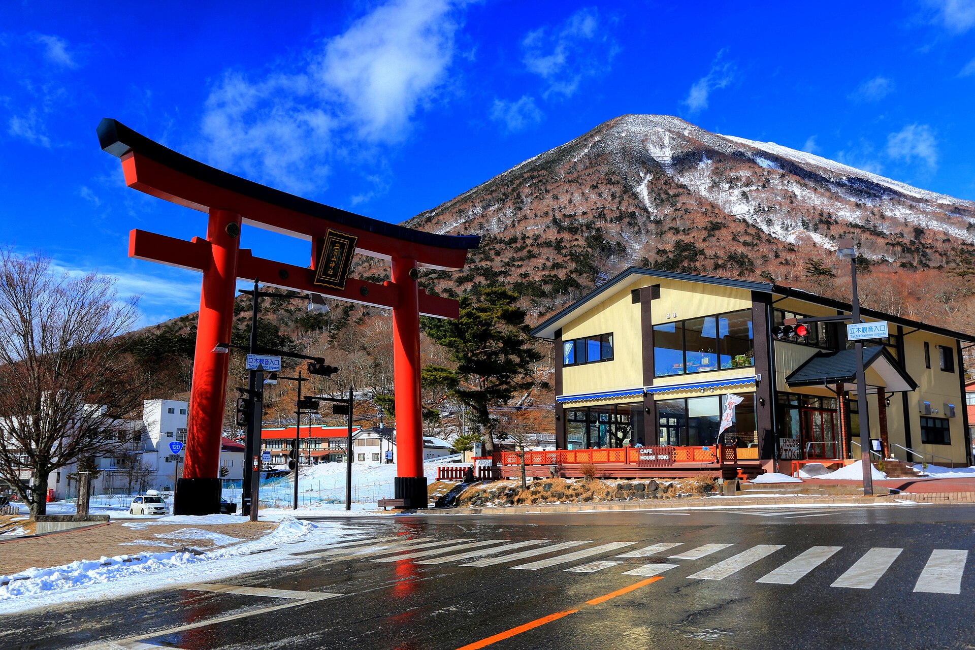
Futarasan Chugushi Shrine
5.7 km · straight line
 Miyuki Meinaka / CC BY-SA 4.0
Nature · Tochigi★
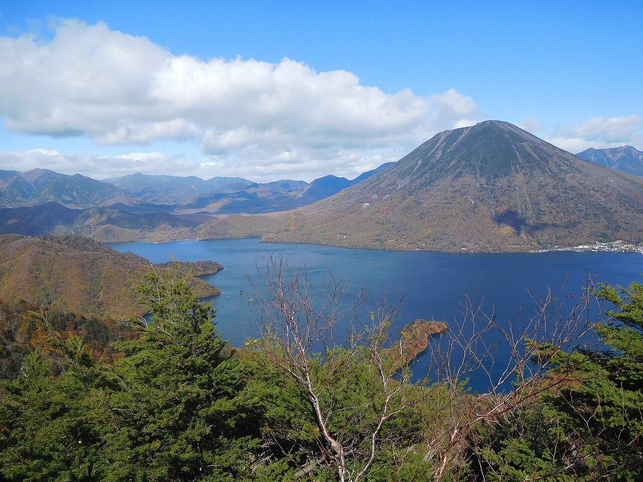
Lake Chuzenji
6.2 km · straight line
 Jordy Meow / CC BY-SA 3.0
Nature · Tochigi★
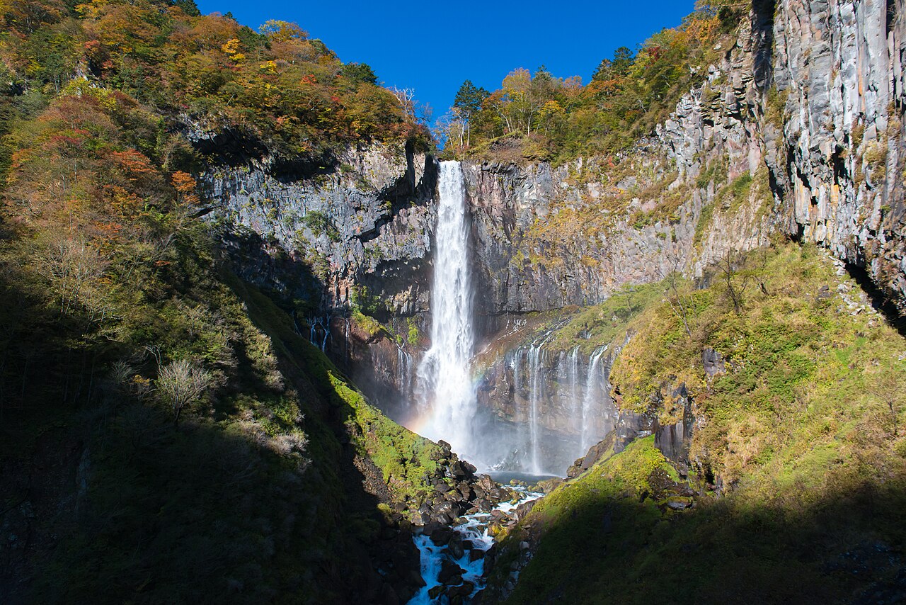
Kegon Falls
6.9 km · straight line
 Koichi Sato / CC BY-SA 4.0
History · Tochigi★★★
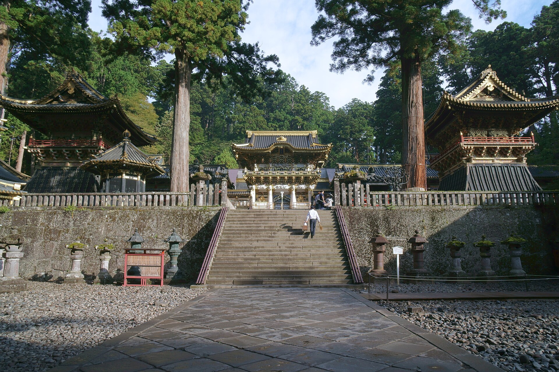
Nikko Toshogu and the Yomeimon gate
14.1 km · straight line
Distances are straight lines on the map, not travel times.