Central Okinawa · Yokatsu IslandsNo.862★Open in map →
Ikei Island
— Cane fields and beaches at the end of the causeway road
The last island on Okinawa's causeway chain, reached without a boat. Cane fields and quiet lanes cover most of it, a reconstructed prehistoric village stands in the middle, and the sand is at the northern end.
- FromOkinawa-Kita Interchange
- ~40 minCar, across the Kaichu Doro causeway
- Get off atYakena Bus Terminal (Okinawa Bus routes 27, 52, 80)
- From there
- Ikei Island
The sweet spot
Ikei is not hidden; the prefectural guide lists it and the causeway carries traffic all day. It stays low-key because it is the far end of the chain rather than a stop on the way to anything, and because most of its surface is working farmland rather than resort. Visitors who do come tend to stop at the first bridge or the first beach.
Where it is
41 more notes in Okinawa · open the map →What to look for — in walking order
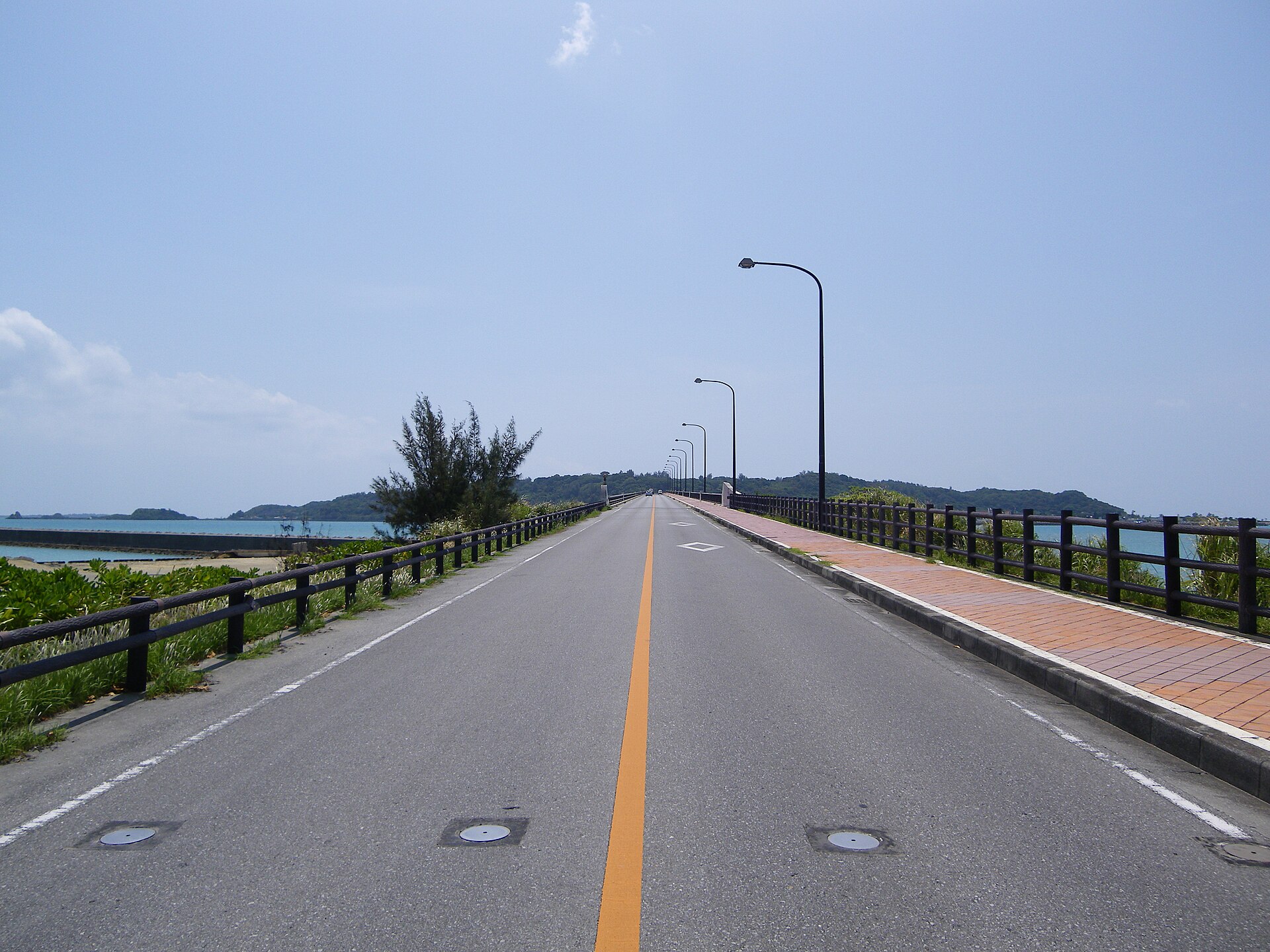
- Ikei Bridgethe final crossing from Miyagi Island, with open water on both sides
- The island road and cane fieldsthe ring lane through sugar cane, vegetable plots and small settlements
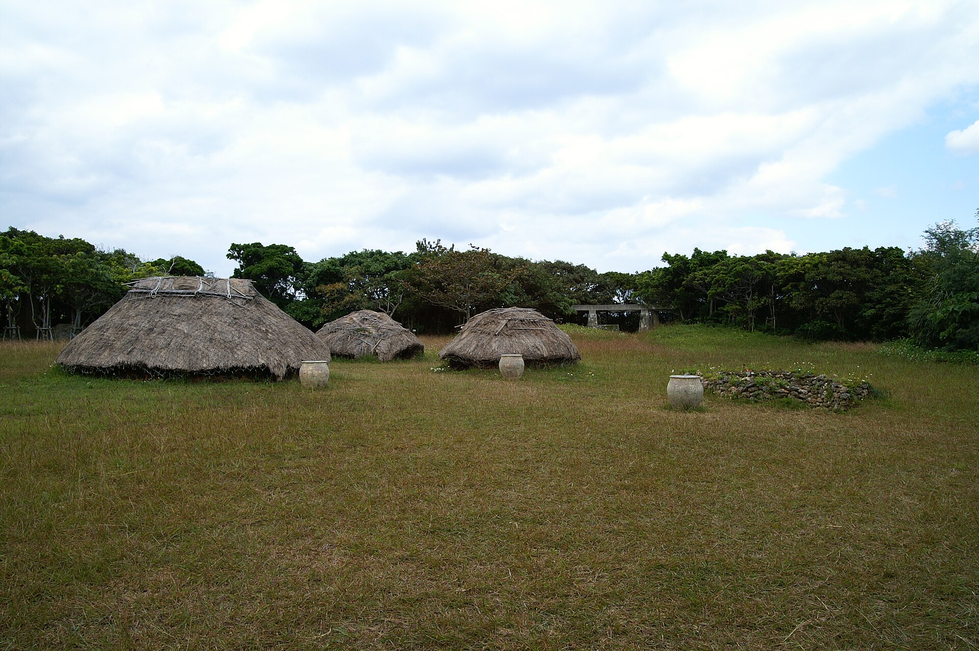
- Nakabaru Sitea national historic site with thatched pit dwellings rebuilt on the excavated village
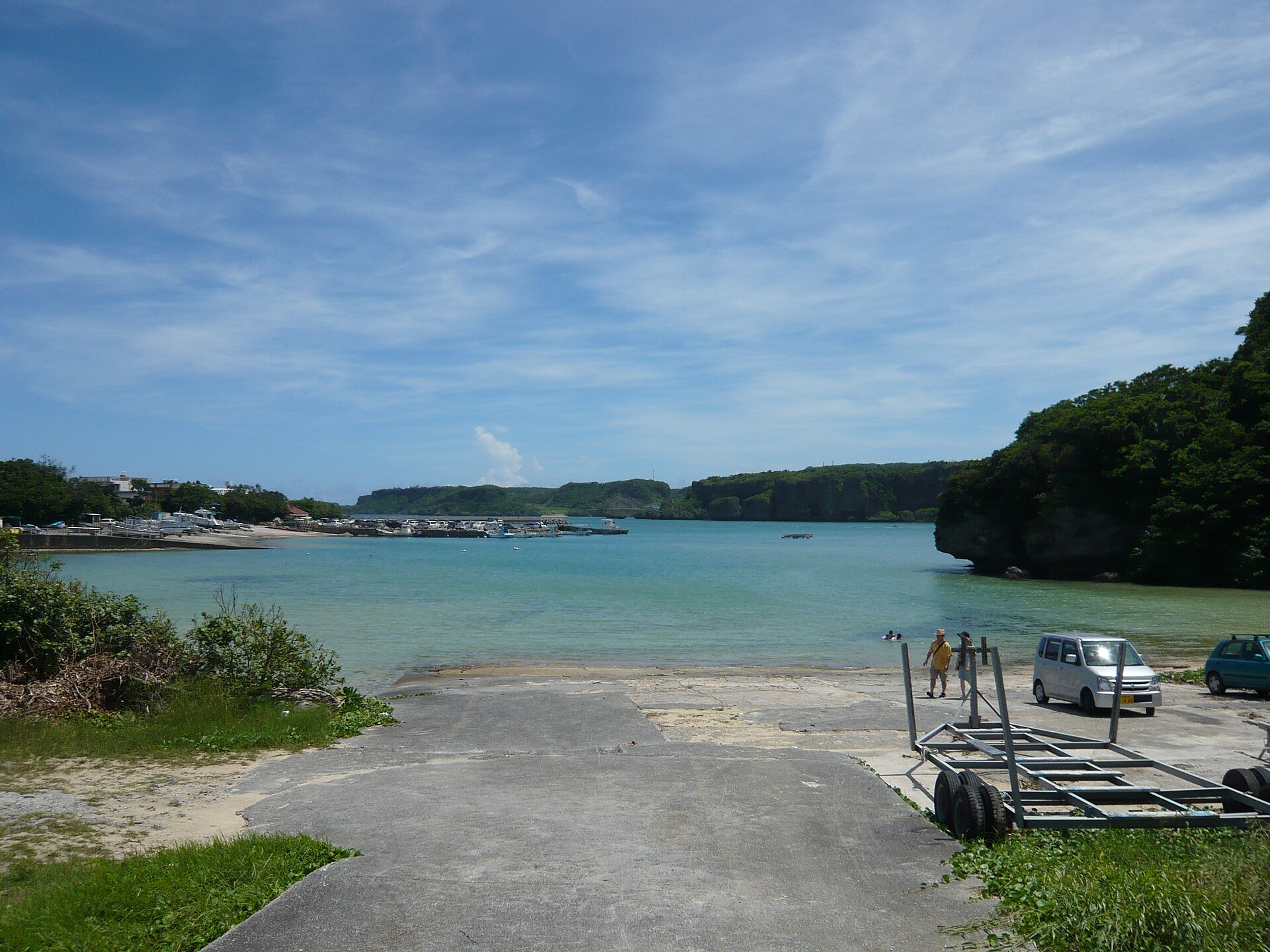
- Ikei Beachthe managed beach at the northern end, with an entrance fee and marine gear
- Odomari Beachthe second stretch of sand on the northeastern shore
How to actually get there
- Okinawa-Kita Interchange → east on ordinary roads to the Kaichu Doro causeway (about forty minutes to Ikei by the prefectural guide's figure).
- Cross the causeway to Henza Island, continue through Miyagi Island, then take the Ikei Bridge onto Ikei.
- Stop at the Nakabaru site in the middle of the island for the rebuilt pit dwellings.
- Carry on to Ikei Beach and Odomari Beach at the northern end, then return by the same bridges.
- By car from Okinawa-Kita Interchange
- Leave the expressway at Okinawa-Kita and follow ordinary roads east; the prefectural travel guide gives the run as about forty minutes. The route crosses the Kaichu Doro causeway to Henza Island, continues through Miyagi Island, and ends with the Ikei Bridge. There is no toll on the causeway or the bridges, and the road is ordinary two-lane the whole way.
- Back over the same bridges
- The only way off is the way you came, so allow for the same forty minutes and for slow traffic on the causeway at weekends. The island bus runs only about seven times a day, so check its timetable before relying on it for the return; otherwise a car or taxi is the practical choice. In poor weather check road conditions before setting out: the causeway is fully exposed.
About the place
Ikei sits at the eastern end of the Yokatsu islands, off the Katsuren peninsula in Uruma. To reach it you cross the Kaichu Doro, the causeway that runs straight out over the shallows, then continue by bridge through Henza and Miyagi before the last bridge lands you on Ikei. The island measures about seven kilometres around, and most of that ring is farmland: sugar cane above all, with melons, watermelon and tomatoes in the fields between, and fishing and aquaculture off the shore. Settlements are small and the lanes are quiet. What visitors come for sits at either end — a reconstructed prehistoric village in the middle, and sand at the north.
How to enjoy it
Give the drive the same weight as the destination: the causeway and the three bridges are the part of the day people remember, and it is worth stopping on the way rather than only on arrival. Ikei Beach is managed, charges to enter, and is said to be swimmable through the year because the tide does not empty it — useful when the reef flats elsewhere have drained. Between the beaches, take the lanes slowly; the utaki are places of prayer, not viewpoints, and the fields are somebody's work.
Background & history
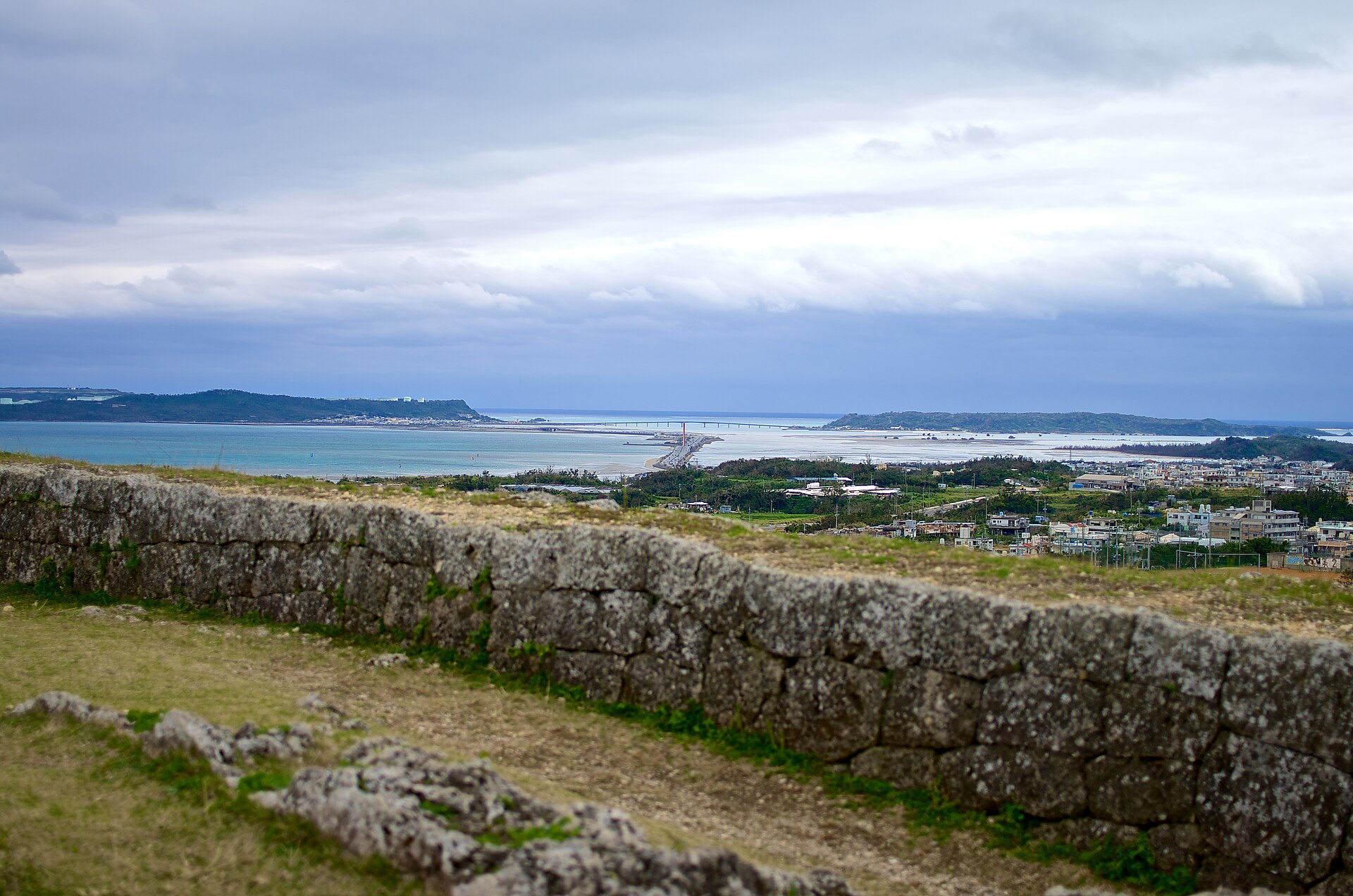
People were living here long before the bridges. At Nakabaru, in the centre of the island, archaeologists uncovered a settlement of pit dwellings from the late Jomon period; the site is now a national historic site, and thatched houses have been rebuilt on the excavated ground so that the plan of the village can be read on the spot. On the southwestern headland stand the remains of Ikei Gusuku, and the island keeps utaki, sacred groves that were tended by priestesses within living memory. Until the last bridge was built, all of this was reached by boat.
Before you go
- Cash
- The causeway and the bridges are free to use. Ikei Beach is a managed beach and charges admission, with marine activities priced separately; Odomari also has a charged area. Shops on the island are village-scale, so carry cash and buy supplies before you cross.
- Good to know
- Wind and typhoons close the causeway, and the whole chain is exposed water on both sides. Beach facilities follow the weather and can shut without notice. The island's utaki are active places of prayer — read the signs and stay outside where visitors are asked not to enter.
- Another way
- Without a car, take Okinawa Bus route 27, 52 or 80 from Naha to Yakena Bus Terminal on the Katsuren peninsula, then continue by taxi or by the city's island bus, which uses the JA Yonashiro stop near the terminal rather than the terminal itself. Check the island bus timetable before you commit to it.
- After you get off
- Yakena Bus Terminal is on the main island, well short of the first bridge, and no walking route connects it to Ikei. Cover the last stretch by taxi, island bus or car across the causeway and the two islands beyond. Once you are over the Ikei Bridge, the Nakabaru site and the northern beaches are a few minutes apart by road.
Nearby notes
 FoxyStranger Kawasaki / CC BY-SA 3.0
Local life · Okinawa★★
Henza and Miyagi Islands
2.9 km · straight line
 Kugel / CC BY 3.0
Culture · Okinawa★★
Hamahiga Island
8.0 km · straight line
 kanegen / CC BY 2.0
History · Okinawa★★★
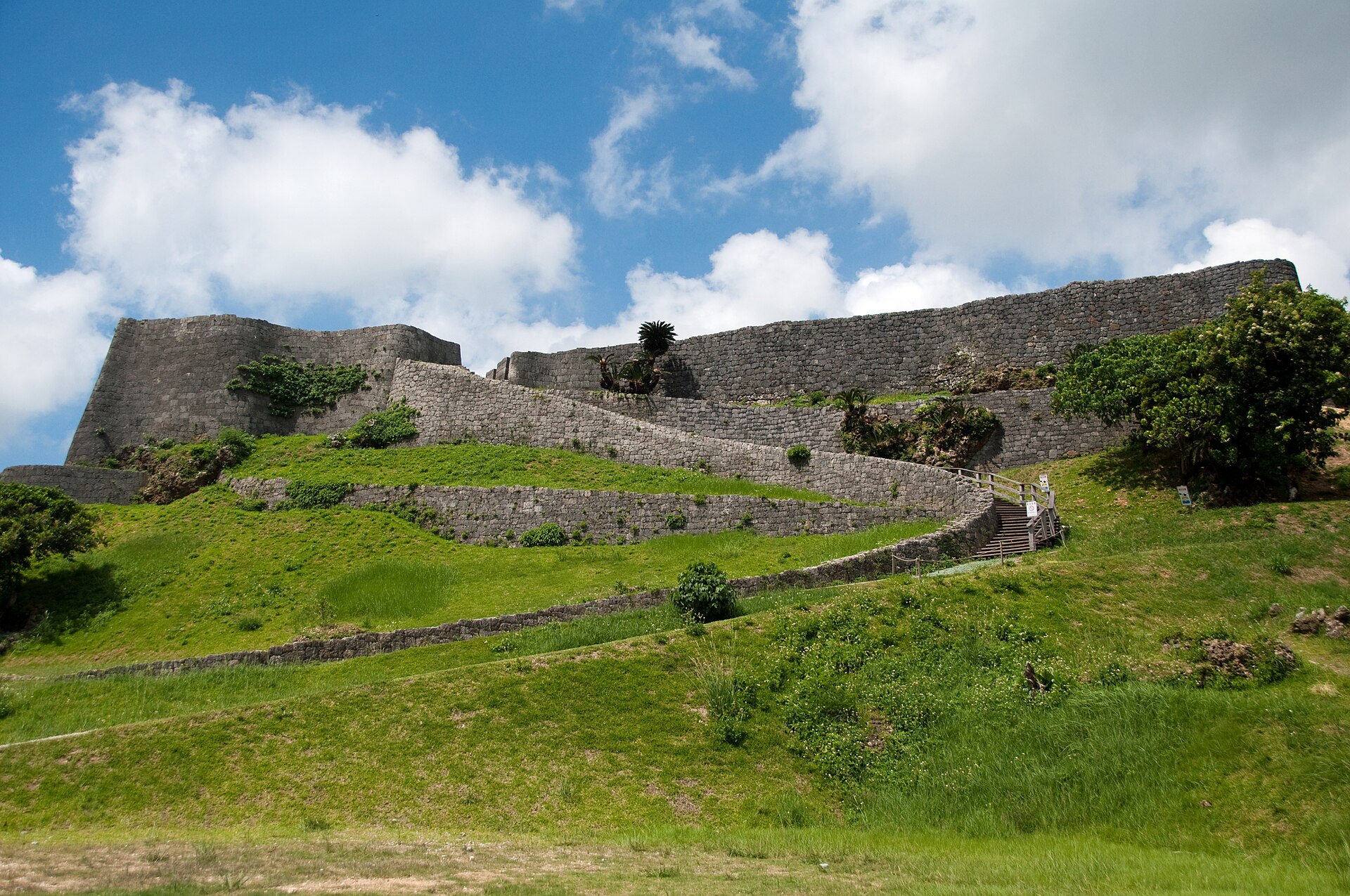
Katsuren Castle Ruins
13.4 km · straight line
 Kugel~commonswiki / CC BY-SA 4.0
Local life · Okinawa★
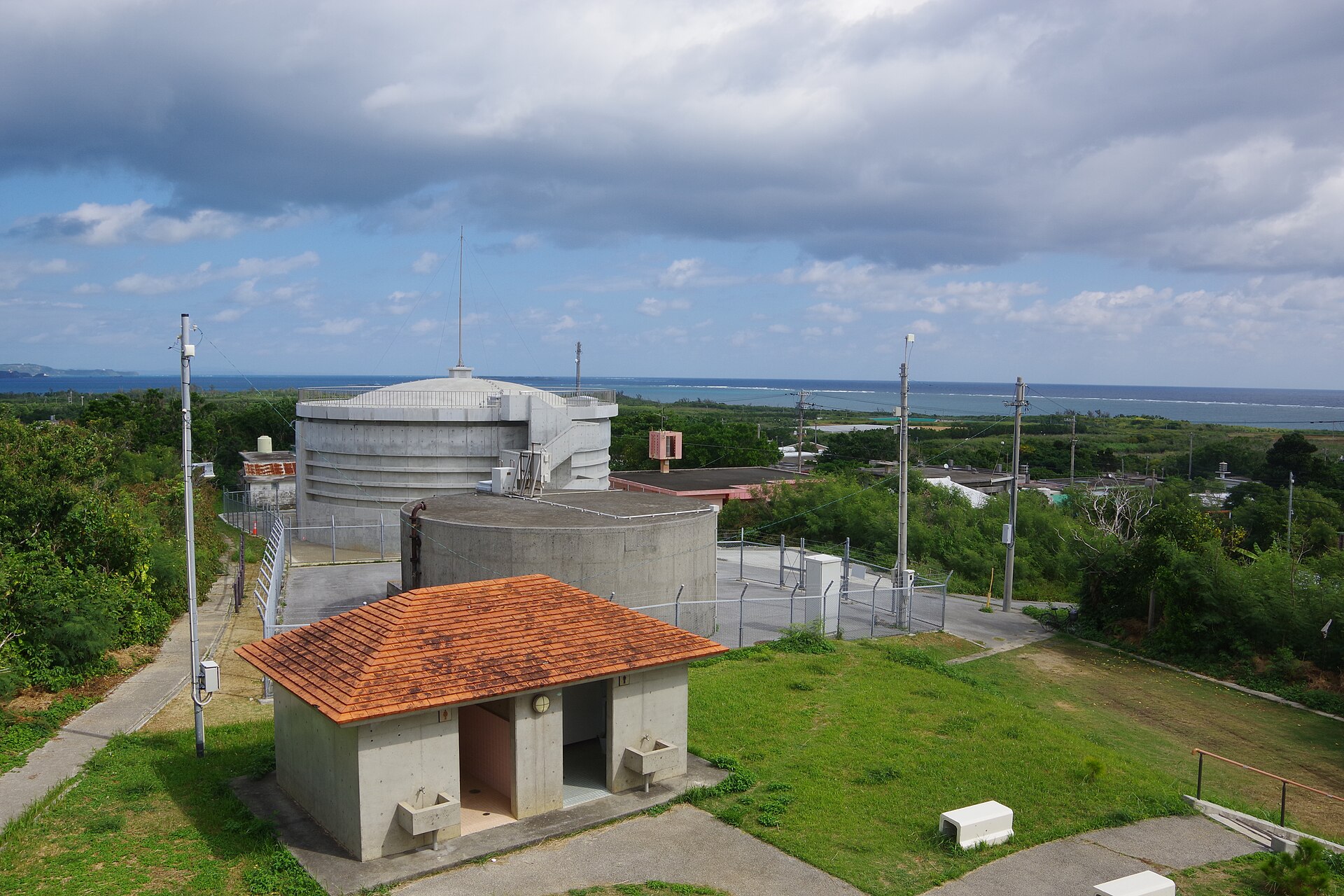
Tsuken Island
16.4 km · straight line
Distances are straight lines on the map, not travel times.