Central Okinawa · UrumaNo.668★★★Open in map →
Katsuren Castle Ruins
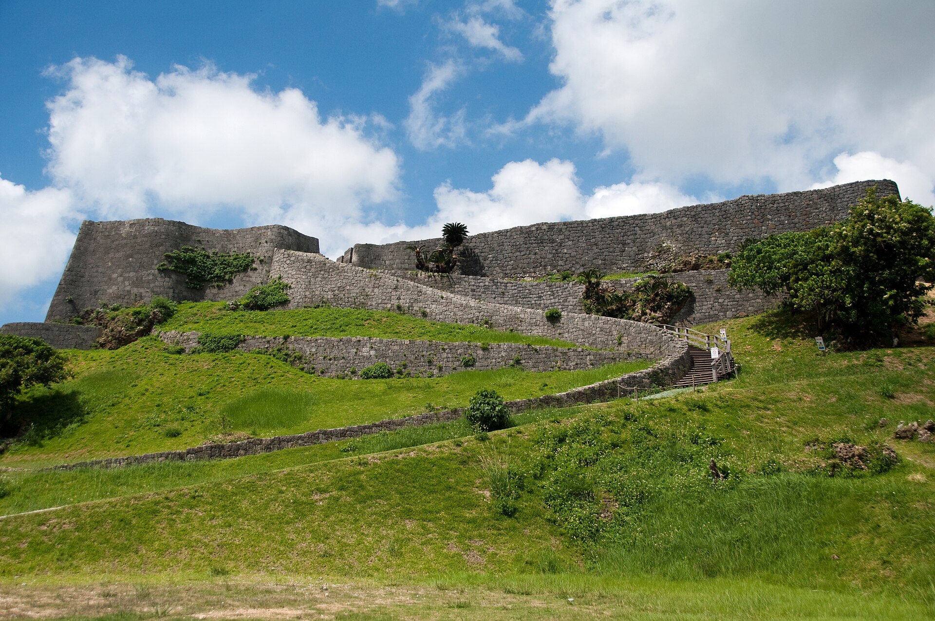
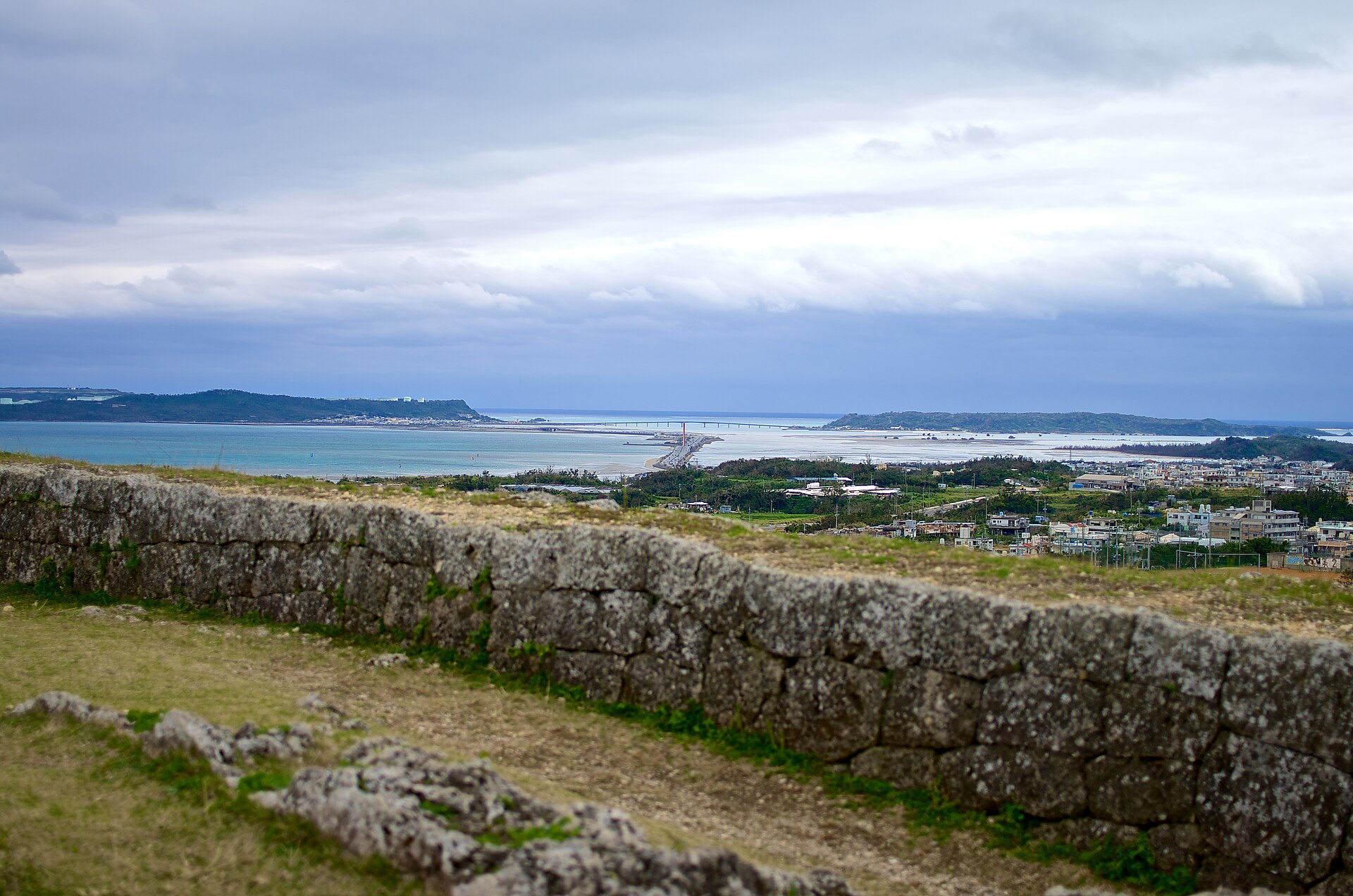
A Ryukyuan stone castle on a limestone ridge above Okinawa's central east coast, its walls curving along the natural cliff. From the highest enclosure the view runs north to Kin Bay and south to the Chinen peninsula.
- FromNaha
- ~1 h 30 minBus route 52 or 27
- Get off atKatsuren-jo-ato-mae bus stop (Yokatsu route 52)
- On foot
- Katsuren Castle Ruins
Where it is
41 more notes in Okinawa · open the map →What to look for — in walking order
- Amawari Parkthe building at the foot of the hill, with excavated finds, film and live performance
- The lower enclosuresthe stepped terraces where the climb begins, walled on their outer side
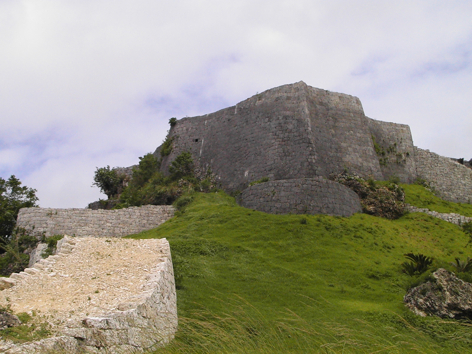
- The curving wallsmasonry laid along the line of the natural cliff instead of across it
- The ichi-no-kuruwathe summit enclosure, with Kin Bay to the north and the Chinen peninsula to the south
How to actually get there
- Naha → Katsuren-jo-ato-mae (Yokatsu route 52; about 1 h 30 min by road from Naha Airport).
- Katsuren-jo-ato-mae → Amawari Park at the foot of the ruins (a short walk).
- Amawari Park → the lower enclosures → the curving walls → the ichi-no-kuruwa at the summit.
- Back down the same stair — check the return bus time before you start up.
- Bus route 52 from Naha
- The Yokatsu route 52 runs out from Naha to the Katsuren peninsula and stops at Katsuren-jo-ato-mae, at the foot of the site; the Yakena route 27 also serves this coast. By road the Okinawa prefectural tourism site allows about an hour and thirty minutes from Naha Airport, and puts a taxi from central Naha at roughly seven thousand yen.
- Return from Katsuren-jo-ato-mae
- The same stop serves the return toward Naha on route 52. Read the posted timetable before you begin the climb rather than after it — the enclosures are open ground with a long stair back down, and you do not want the descent to become a race against a departure.
About the place
Katsuren stands on a limestone ridge near the base of the Katsuren peninsula, on the central east coast of Okinawa Island. It is a gusuku — the walled stronghold form of the Ryukyu Islands — and its masonry follows the line of the natural cliff instead of cutting across it, so the wall reads as a curve rather than a square. The enclosures step up the ridge one behind another. The highest of them, the ichi-no-kuruwa, holds the whole coast at once: Kin Bay and its outer islands to the north, and the Chinen peninsula, Kudaka Island and the ruins of Nakagusuku to the south. At the foot of the hill, Amawari Park takes the parking, the arrival and the exhibits.
How to enjoy it
Start at Amawari Park and take the stair up through the enclosures — the view widens at every level and only resolves at the top, so the climb is worth doing slowly. A clear afternoon carries the sightline furthest in both directions, while midday in summer leaves the whole ascent without shade. Allow enough time at the summit to pick out Kudaka Island and the ruins of Nakagusuku to the south before you turn back.
Background & history
Katsuren was the seat of the Katsuren aji, the district lords of this stretch of coast, and the last of them, Amawari, is the figure the whole site is built around. Below the ruins, Amawari Park tells his story with excavated finds, film and live performance rather than with display labels alone. The castle itself was raised along the cliff rather than against it, which is why the walls read as curves from below. In 2000 UNESCO inscribed Katsuren among the Gusuku Sites and Related Properties of the Kingdom of Ryukyu.
Before you go
- Cash
- Amawari Park, at the foot of the hill, is where the car park and the exhibition building stand. The prefectural tourism site lists the rest house there as open from nine to six with no closing day at the time of checking, but publishes no admission figure — settle anything payable at the park on arrival rather than at the ruins.
- Good to know
- The ridge is exposed on every side. There is no shade on the climb and no shelter at the top, and the stone steps hold water after rain. Typhoons cross Okinawa between summer and autumn, when opening and bus services on this coast can both change at short notice.
- Another way
- Route 27, the Yakena service, reaches the same coast from the other direction. It is the option if you are coming from the far end of the Katsuren peninsula rather than from Naha.
- After you get off
- Katsuren-jo-ato-mae puts you at the foot of the hill beside Amawari Park. Cross to the park building first, then take the stair that climbs the ridge through the enclosures to the summit.
Nearby notes
 Kugel / CC BY 3.0
Culture · Okinawa★★
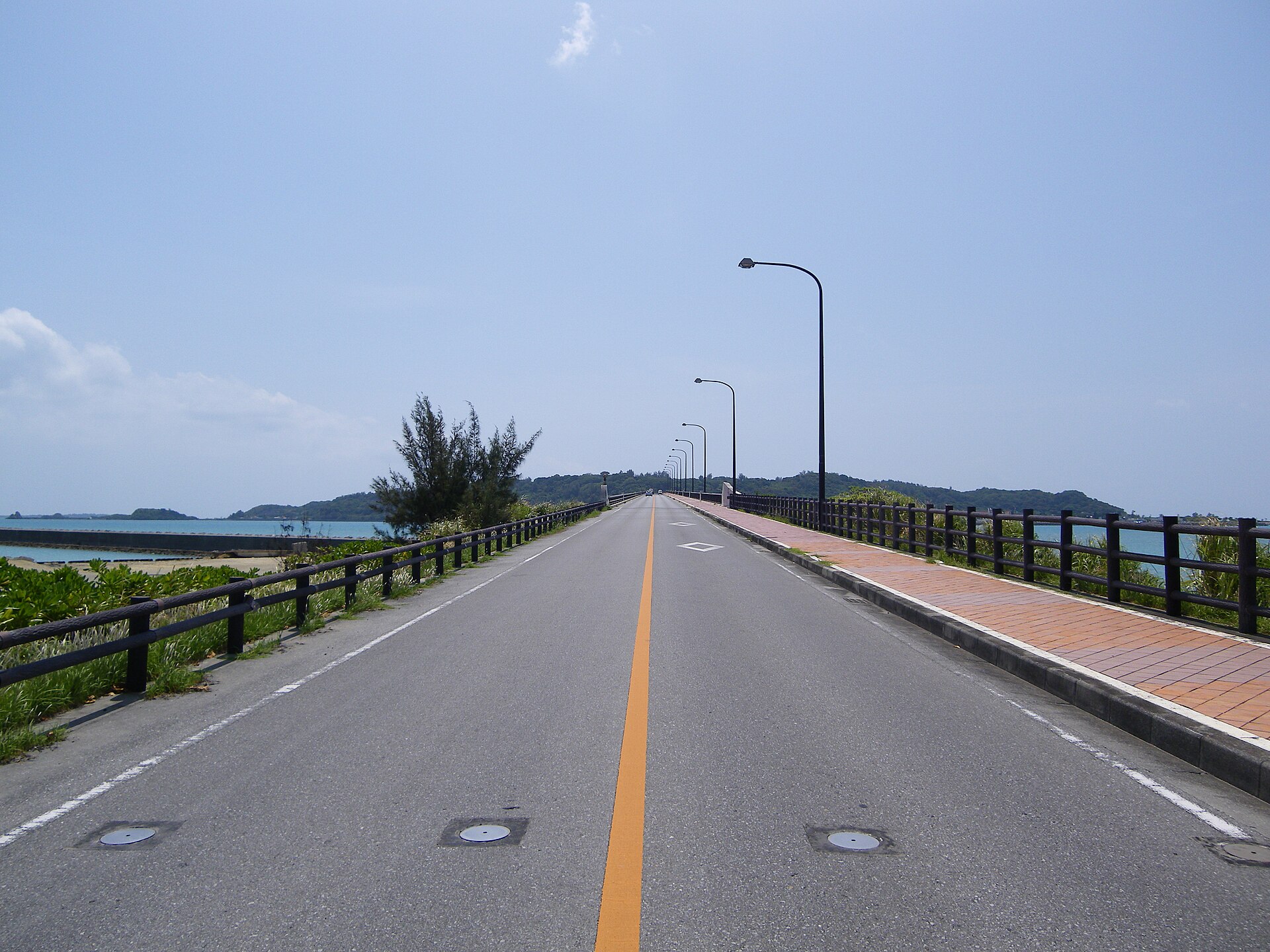
Hamahiga Island
8.8 km · straight line
 MaedaAkihiko / CC0
History · Okinawa★★
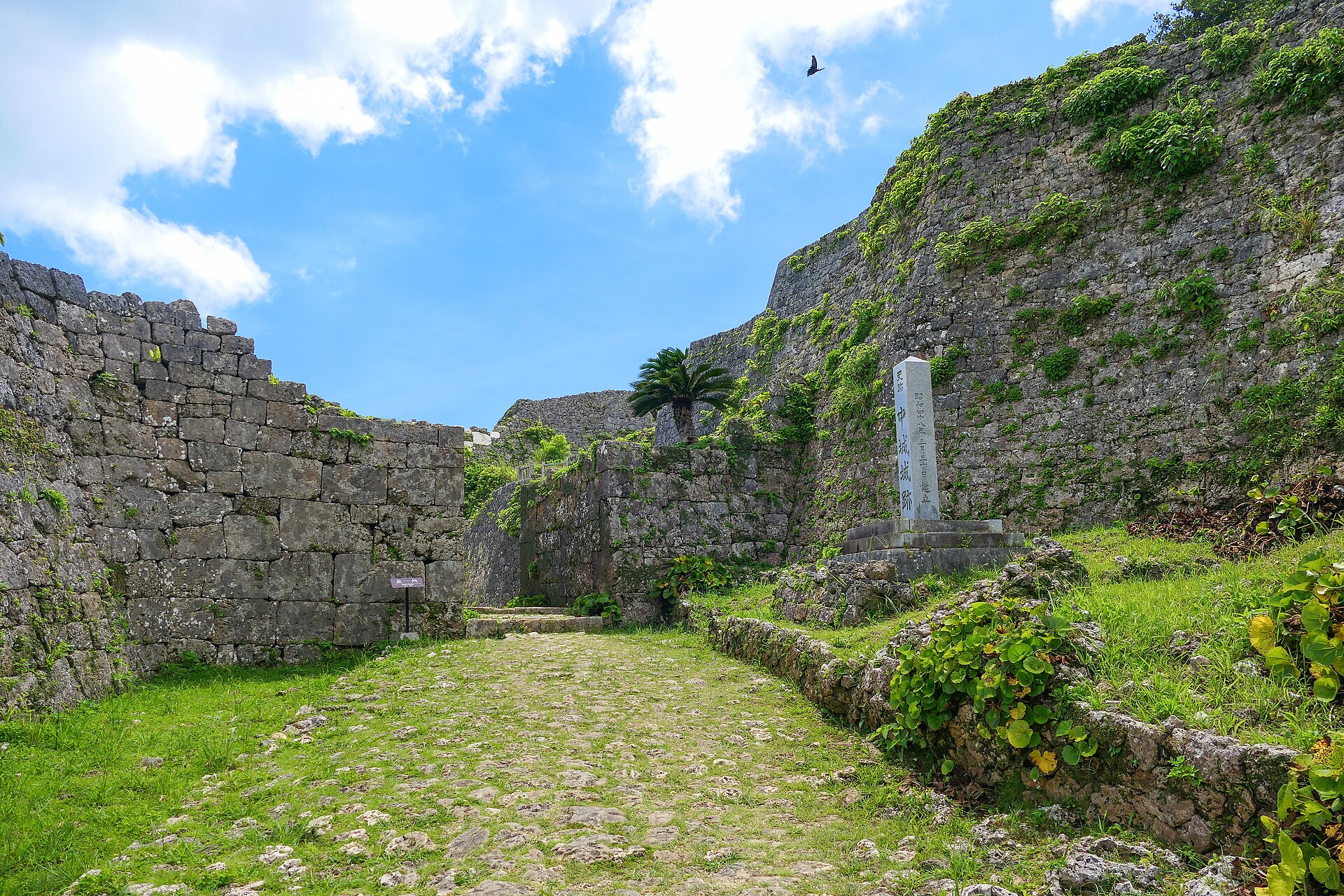
Nakagusuku Castle Ruins
9.3 km · straight line
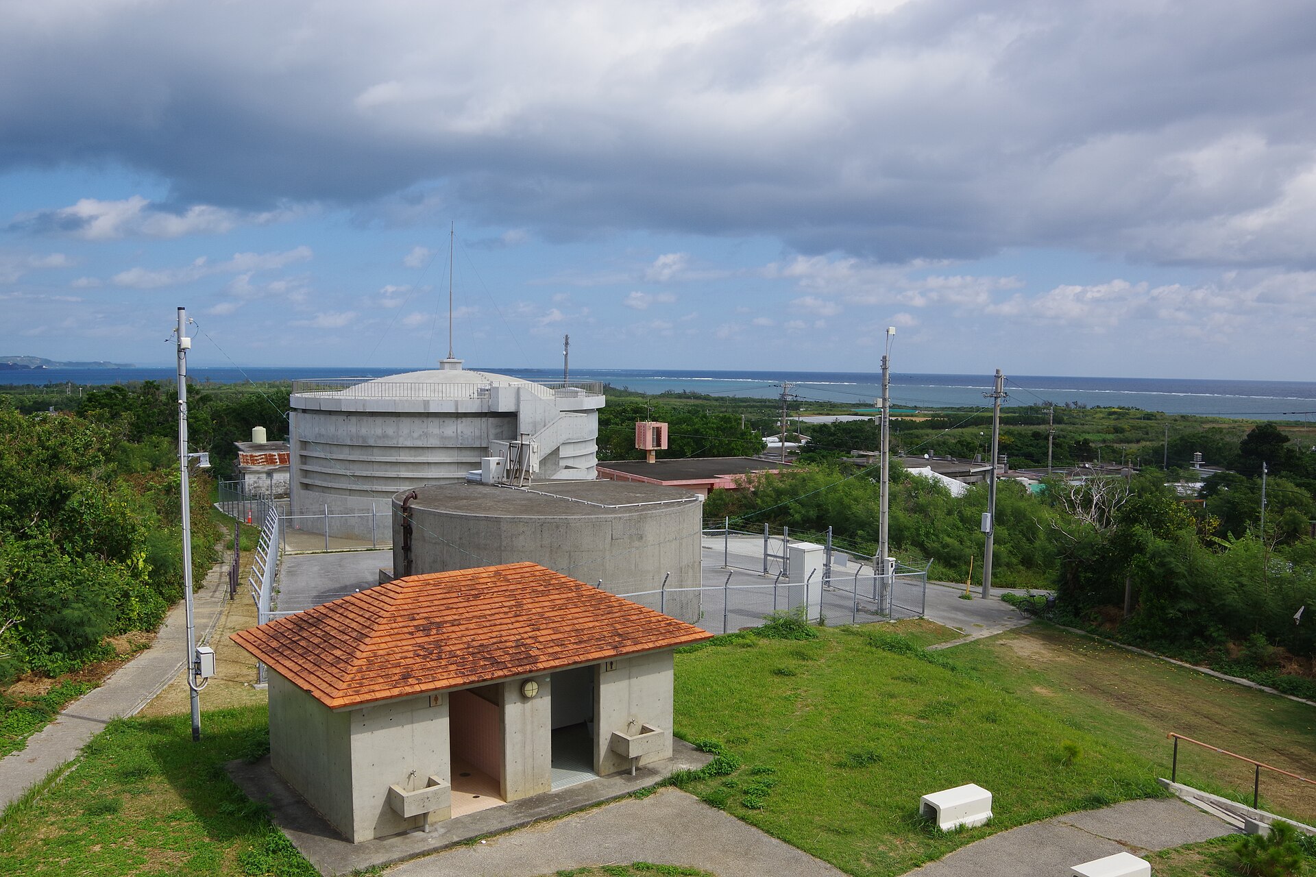 Kugel~commonswiki / CC BY-SA 4.0
Local life · Okinawa★
Tsuken Island
10.7 km · straight line
 FoxyStranger Kawasaki / CC BY-SA 3.0
Local life · Okinawa★★
Henza and Miyagi Islands
11.0 km · straight line
Distances are straight lines on the map, not travel times.