Saitama · KasukabeNo.366★★Open in map →
Metropolitan Area Outer Underground Discharge Channel
— a working flood cathedral beneath Kasukabe
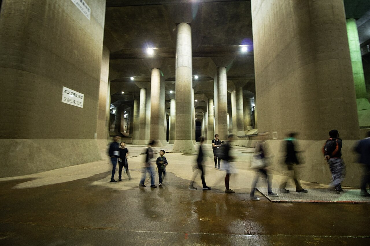
A working flood-control system buried about fifty metres under the northern suburbs of Tokyo. Its pressure-regulating tank — 177 metres long, held up by fifty-nine concrete pillars — is nicknamed the underground temple, and can only be entered on a booked guided tour.
- FromTobu Asakusa Stn
- ~1 hr 30 minguided tour, advance booking only
- Get off atMinami-Sakurai Station (Tobu Urban Park Line)
- From there
- Metropolitan Area Outer Underground Discharge Channel
The sweet spot
Foreign itineraries around Tokyo almost never include civil engineering, so this is one of the few sights in Greater Tokyo that is genuinely famous domestically and almost unknown abroad. It also answers a question visitors rarely think to ask — how a city on a flood plain stays dry — and does it in a room that photographs like a film set. The booking requirement filters out casual crowds.
Where it is
19 more notes in Saitama · open the map →What to look for — in walking order
- The pressure-regulating tankthe 'underground temple' itself: 177 m long, 59 pillars, an eighteen-metre ceiling, reached by a long open staircase with no lift
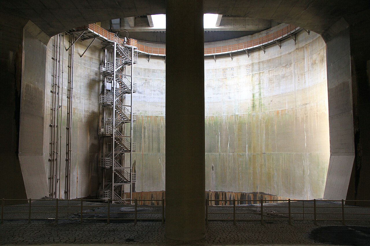
- First vertical shafta cylindrical drop shaft about 30 m across and 70 m deep, big enough to swallow a space shuttle — visible from above on some courses
- The gas turbine pump roomthe machinery that lifts the stored water into the Edo River, driven by turbines adapted from aircraft engines
- Ryu-Q-kan control roomthe above-ground visitor centre and operations building where tours assemble, with displays on how the basin floods
How to actually get there
- Book a tour slot online in advance (gaikaku.jp).
- Tobu Asakusa Station → Kasukabe Station (Tobu Skytree Line express, ~45 min).
- Kasukabe Station → Minami-Sakurai Station (Tobu Urban Park Line, ~10 min).
- Minami-Sakurai Station → Ryu-Q-kan visitor centre (taxi ~7 min, or walk 25–40 min).
- Tobu line to Minami-Sakurai, then taxi
- Tobu Asakusa Station →(Tobu Skytree Line express toward Kuki/Minami-Kurihashi, ~45 min)→ Kasukabe Station →(Tobu Urban Park Line toward Kashiwa, ~10 min)→ Minami-Sakurai Station. From there the facility is about 2.3 km: roughly 7 minutes by taxi from the station rank, or a 25–40 minute walk. Arrive at the Ryu-Q-kan visitor centre at least ten minutes before your reserved slot.
- Same route in reverse
- Taxi or walk back to Minami-Sakurai Station →(Tobu Urban Park Line, ~10 min)→ Kasukabe Station →(Tobu Skytree Line toward Asakusa, ~45 min)→ Tobu Asakusa Station. Taxis do not always wait outside the facility, so ask the visitor centre desk to call one before you finish the tour.
About the place
The land north of Tokyo is flat, low and crossed by slow rivers, and for centuries it flooded whenever a typhoon parked over the Kanto plain. The engineering answer, finished in 2006 after thirteen years of construction, is invisible from the surface: a tunnel ten metres across running 6.3 kilometres at a depth of about fifty metres, linked to the rivers above by five vertical shafts each roughly thirty metres wide and seventy metres deep. When the small rivers overflow, water pours down the shafts, travels underground, and is pumped out into the much larger Edo River. The last chamber before the pumps is a pressure-regulating tank built to stop the surge from tearing the machinery apart, and it is this room that made the place famous. It is 177 metres long and 78 metres wide, with a ceiling eighteen metres up, carried on fifty-nine rectangular concrete pillars weighing around five hundred tonnes each. There is no decoration and nothing symbolic about it — the pillars exist to hold the roof down against buoyancy — yet standing on the floor between them, in cold air with the sound of your own footsteps travelling a long way, is unmistakably the feeling of being inside a cathedral. Japanese visitors named it the underground temple, and the name stuck to an official flood-control facility.
How to enjoy it
Book first, then plan the day around the slot — this is not a place you can turn up at. Tours run in several courses of different lengths and prices, and the shortest one goes straight to the tank. Wear shoes you can walk a hundred-plus steps down and back up in; the tank floor is damp and the air is noticeably cold even in August, so bring a layer. Photography is allowed in the tank, which is why most people come, but a phone handles the low light better than you expect. Combine it with Kasukabe or with a stop in Kawagoe on the way back if you want a full day out of the north Saitama plain.
Background & history
The Naka and Ayase river basins in eastern Saitama sit in a shallow bowl where several rivers converge with almost no gradient, and flood damage was a recurring problem through the twentieth century as the area urbanised. Construction of the discharge channel began in 1993 and the full system entered service in 2006. It is operated by the Edogawa River Office of the Ministry of Land, Infrastructure, Transport and Tourism. The pumps that empty the tank are driven by gas turbines derived from aircraft engines, and the facility can discharge up to two hundred cubic metres of water per second into the Edo River. It remains an active piece of infrastructure — it is used several times a year — and public tours are suspended whenever it is operating.
Before you go
- Cash
- Tours are paid and priced by course — the shortest tank-only course is the cheapest. Reserve online in advance; telephone reservations are also accepted during office hours. IC cards (Suica / PASMO) work on the Tobu lines and in the taxi in most cases, but carry cash as a fallback in this area.
- Good to know
- Tours are cancelled without notice when the channel is actually being used for flood control, and there are regular non-operating days — always check the official schedule. The tank course involves descending and re-climbing well over a hundred steps with no lift, so it is not suitable for anyone who cannot manage stairs. Slots for weekends fill up early.
- Another way
- Kasukabe Station is also reachable from Kita-Senju on the Tobu Skytree Line, which connects to the Tokyo Metro Hibiya and Chiyoda lines — useful if you are staying in central or eastern Tokyo. A Kasukabe community bus serves the facility from Minami-Sakurai, but runs only a few times a day.
- After you get off
- From Minami-Sakurai Station the route runs north-east toward the Edo River embankment. The meeting point is the Ryu-Q-kan building at the Showa drainage pumping station, not the tunnel entrance — the tank is reached on foot from there with the guide.
Nearby notes
 Archiroid21 / CC BY-SA 4.0
Food · Chiba★★
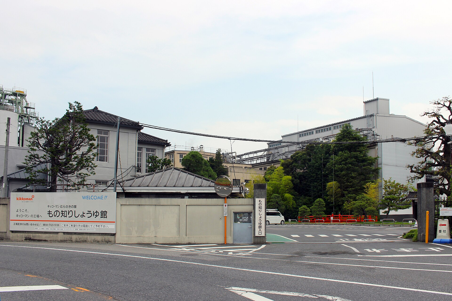
Noda Soy Sauce
8.2 km · straight line
 Asturio Cantabrio / CC BY-SA 4.0
Food · Chiba★
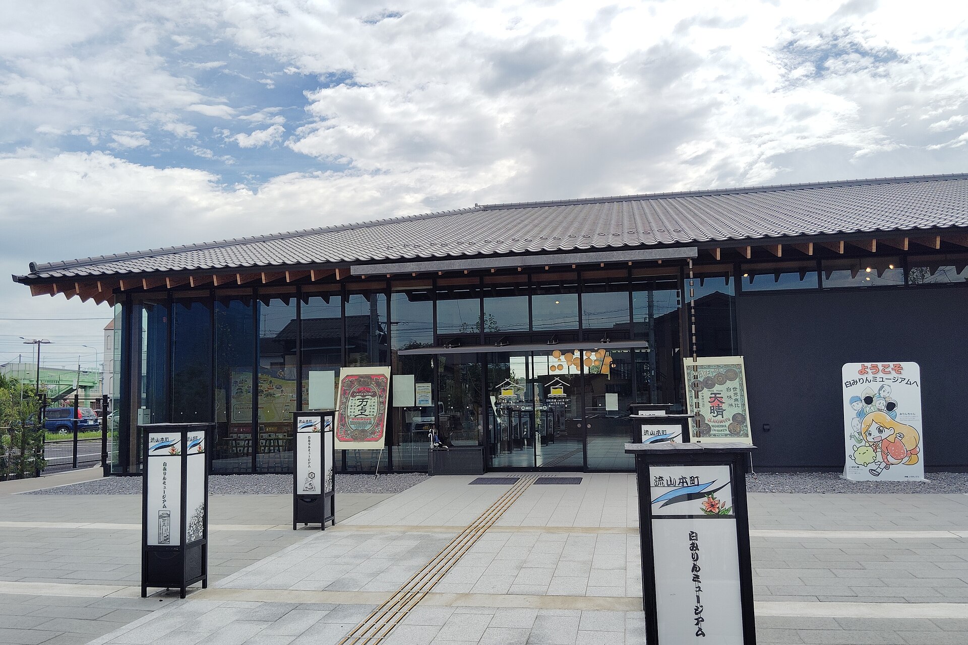
Nagareyama Shiro-Mirin
17.9 km · straight line
 Ocdp / CC0
History · Saitama★★★
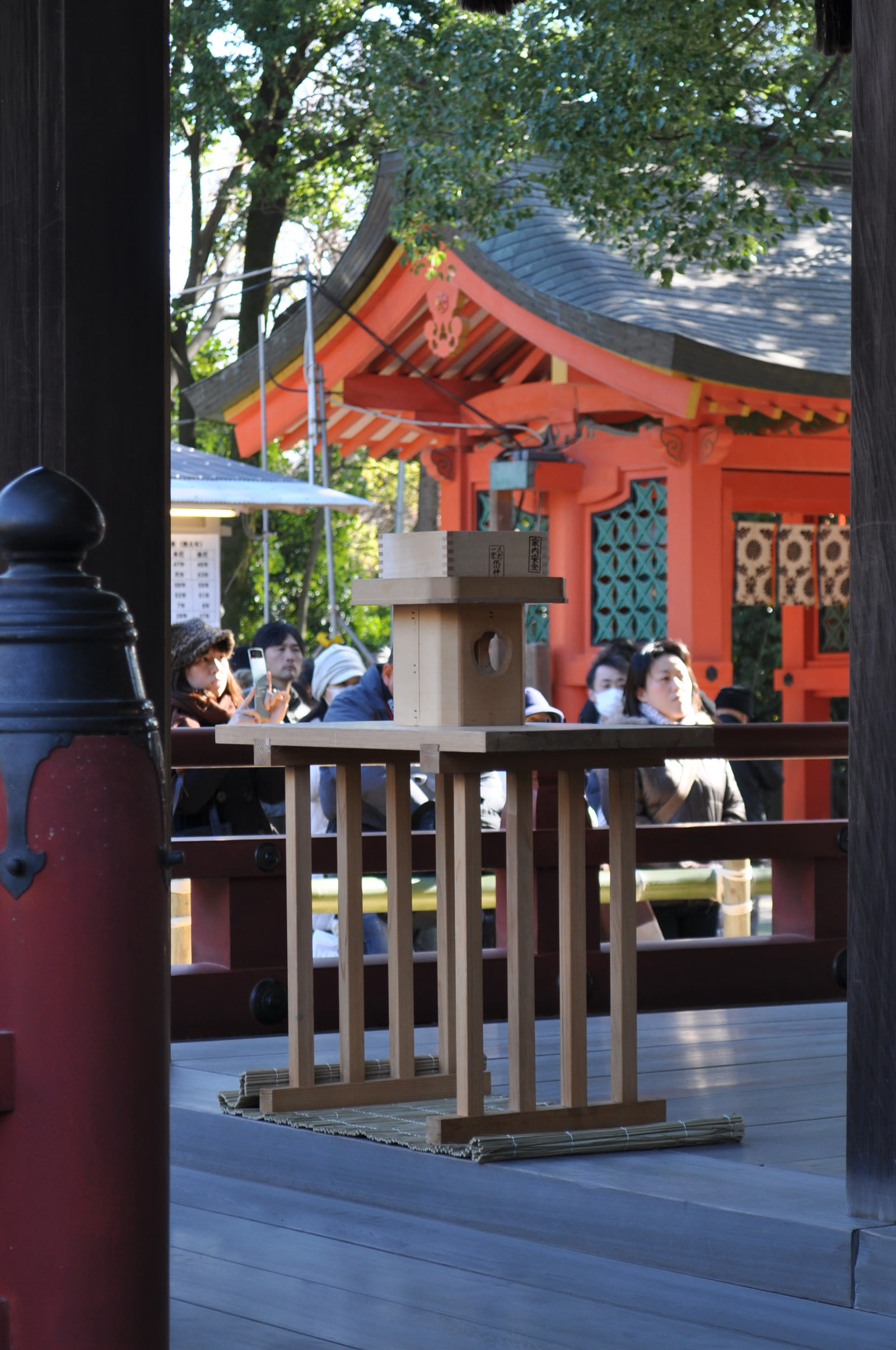
Musashi Ichinomiya Hikawa Shrine
18.6 km · straight line
 MaedaAkihiko / CC BY-SA 4.0
Culture · Saitama★
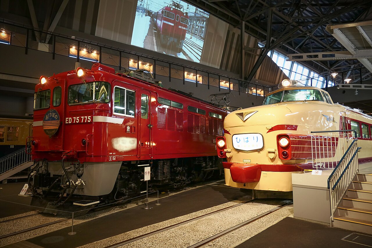
The Railway Museum at Omiya
19.3 km · straight line
Distances are straight lines on the map, not travel times.