Tokyo southwest · MeguroNo.289★Open in map →
The Meguro River cherry tunnel
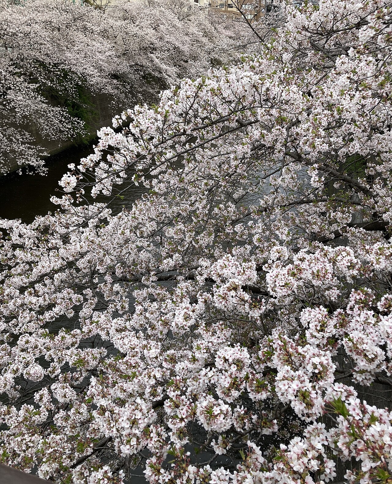
About 800 cherry trees along roughly four kilometres of the Meguro River, forming a blossom tunnel over the water. Peak is usually late March to early April.
- FromTokyo Stn
- ~30 mintrain + 2 min walk
- Get off atNakameguro Stn
- On foot
- The Meguro River cherry tunnel
The sweet spot
Everyone knows this place — that is exactly the point. What almost nobody does is arrive before seven, when the same tunnel is empty, the light comes in along the water, and you can stand in the middle of a bridge without being pushed off it.
Where it is
77 more notes in Tokyo · open the map →What to look for
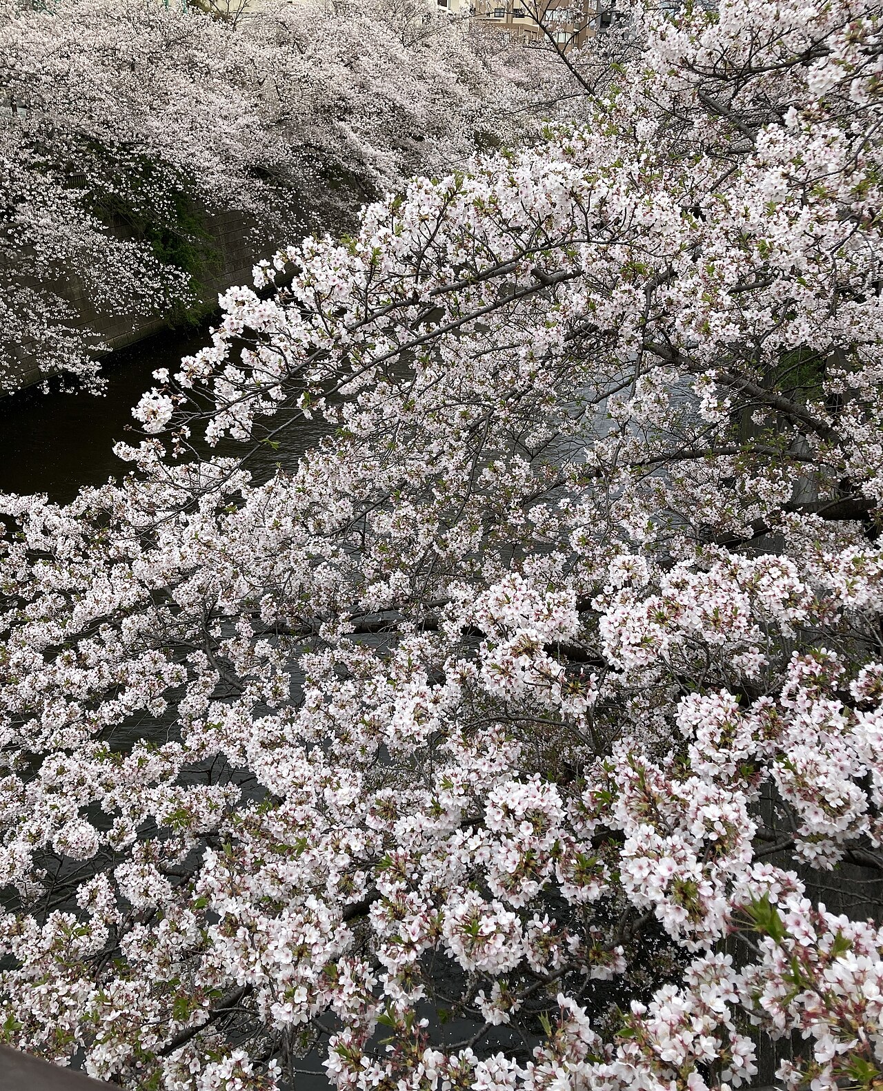
- The tunnel upstream of NakameguroThe narrowest section, where branches from both banks close over the water.
- Hinode Bridge and downstreamThe river widens and a promenade runs alongside — the same trees, with room to stand still.
- The sightlines from the bridgesEach small bridge looks straight down the length of the canopy, which is why they jam with photographers.
- Nakameguro's back streetsThe cafe and boutique district that grew up along the same banks, one block in from the water.
How to actually get there
- Tokyo Stn → Ebisu Stn (JR Yamanote Line, ~22 min)
- Ebisu Stn → Nakameguro Stn (Tokyo Metro Hibiya Line, 1 stop, ~2 min)
- Nakameguro Stn → riverside (walk, ~2 min)
- Yamanote to Ebisu, one stop on the Hibiya Line
- Tokyo Stn → (JR Yamanote Line, bound for Shinagawa / Shibuya, ~22 min) → Ebisu Stn → (Tokyo Metro Hibiya Line, bound for Nakameguro, 1 stop, ~2 min) → Nakameguro Stn → the river is about 2 minutes from the station. Total ~30 min.
- Walk downstream and exit at Meguro
- Follow the river southeast from Nakameguro for about 1.5 km and you arrive at JR Meguro Stn on the Yamanote Line. It is a better exit than backtracking: the downstream stretch is wider, has a real promenade, and is markedly calmer than the Nakameguro core.
About the place
The Meguro River is not a scenic river. For most of its course it is a straightened, walled channel running functionally through dense residential Tokyo. What makes it extraordinary is what was planted along the top of those walls: about 800 Somei-Yoshino cherries over roughly four kilometres of the Meguro ward stretch. Because the channel is narrow and the trees lean in from both banks, the canopy meets in the middle, and the blossom closes over the water instead of spreading across a park. Below Hinode Bridge the river widens and a proper riverside promenade takes over; above it the trees crowd right to the edge. It is the most photographed stretch of cherry blossom in the city, and in early April the towpaths are shoulder to shoulder from mid-morning until well after dark.
How to enjoy it
Arrive before 7am. The tunnel is identical; the crowd is not, and low sun comes in along the water instead of down through the branches. Walk upstream from Nakameguro for the tightest canopy, then turn and follow the river southeast toward Meguro Station — wider, calmer, and it ends at a train. Outside blossom season the same walk is a good hour through one of Tokyo's better cafe districts; the trees are simply green.
Background & history
The Meguro ward stretch carries about 800 Somei-Yoshino over roughly four kilometres, and its effect comes from the shape of the channel more than the size of the planting. The river here is narrow and walled, and the trees stand in two lines directly above the water, so rather than the scattered canopy of a park the branches meet overhead in a continuous arch. Below Hinode Bridge the channel widens and the promenade takes over; above it the trees press to the very edge. Somei-Yoshino is a single clone propagated by grafting, which is why a run this long opens and drops together inside about a week. Nakameguro grew into a cafe and design district along these same banks, and blossom week is now the busiest thing in the ward's year.
Before you go
- Cash
- In blossom season the banks fill with temporary food and drink stalls and many are cash-only. Outside the season, Nakameguro's cafes and shops are normal card territory.
- Good to know
- There are almost no public toilets along the banks and the paths are narrow. In season the ward asks visitors not to picnic on the walkway, not to block bridges for photographs, and to take rubbish home. These are residential streets, not a park.
- Another way
- Nakameguro is also on the Tokyu Toyoko Line, three minutes from Shibuya — the fastest approach if you are already in the west of the city.
- After you get off
- From Nakameguro Stn take the signposted exit toward the river; the water is about 200 metres away. Turn upstream, northwest, for the tightest canopy, or downstream, southeast, for the wider promenade toward Meguro.
Nearby notes
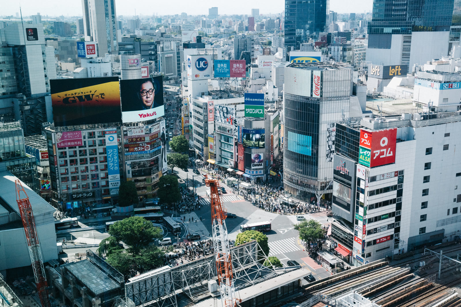 Dick Thomas Johnson from Tokyo, Japan / CC BY 2.0
Local life · Tokyo★★
SHIBUYA SKY
1.6 km · straight line
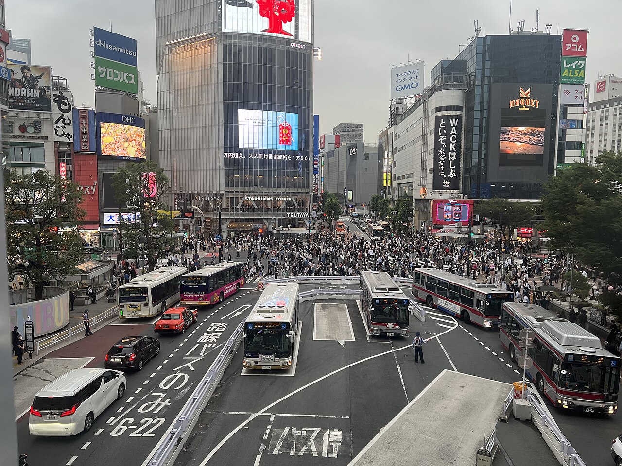 PEPSI697 / CC BY-SA 4.0
Local life · Tokyo★★★
Shibuya Scramble Crossing
1.7 km · straight line
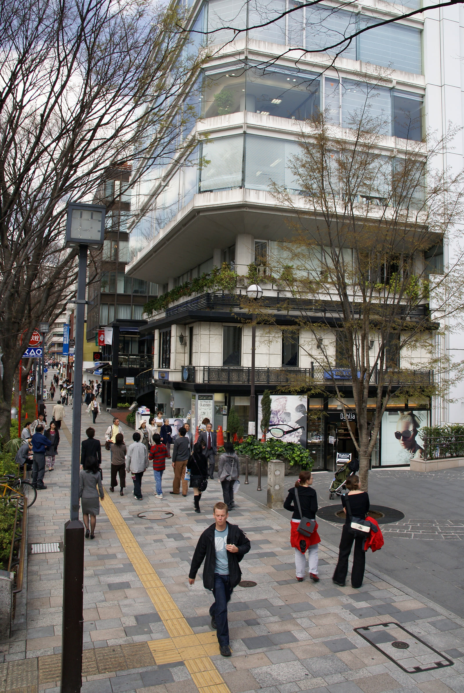 663highland / CC BY 2.5
Local life · Tokyo★★★
Omotesando
2.7 km · straight line
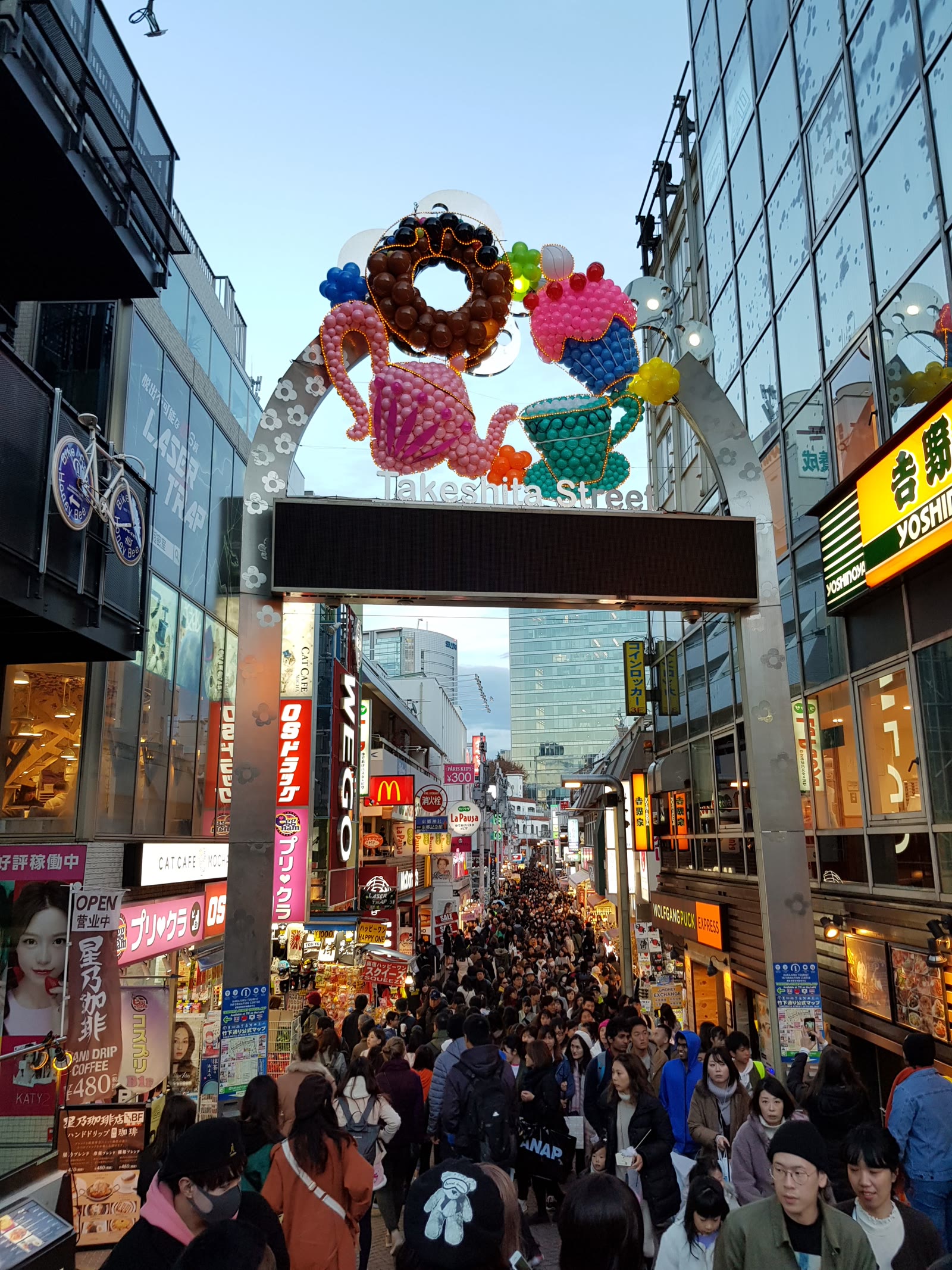 Intforce / CC BY-SA 4.0
Local life · Tokyo★★
Takeshita Street
3.0 km · straight line
Distances are straight lines on the map, not travel times.