Shiga · west shore of Lake BiwaNo.307★Open in map →
Biwako Terrace
— the whole lake seen from 1,100 m
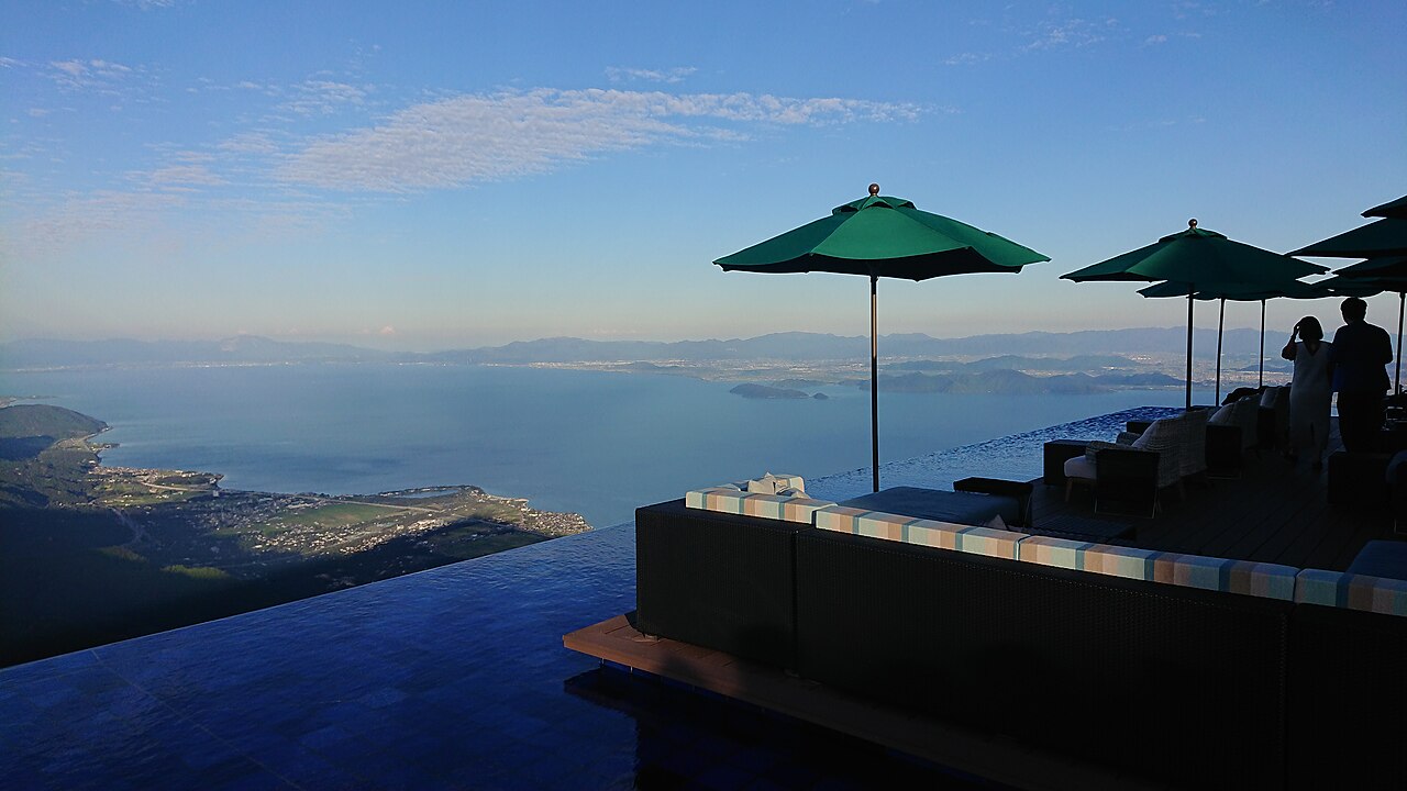
A summit terrace at about 1,100 m on Mt. Uchimi, reached only by a ropeway that climbs 800 m of vertical in five minutes. The decks are built to face Lake Biwa head on, and the same slope becomes a ski area in winter.
- FromKyoto Stn
- ~70 mintrain + bus + ropeway
- Get off atBiwako Valley-mae bus stop
- From there
- Biwako Terrace
The sweet spot
Most visitors assume an alpine terrace at 1,100 metres means a long trip out of the city. It does not — this is about an hour from Kyoto Station on ordinary local transport. The genuinely non-obvious point is the weather: the whole experience is a single ropeway, and the ropeway suspends service in strong wind or storms. Check the operating status on the official site before you set out, because there is no alternative route to the summit.
Where it is
21 more notes in Shiga · open the map →What to look for
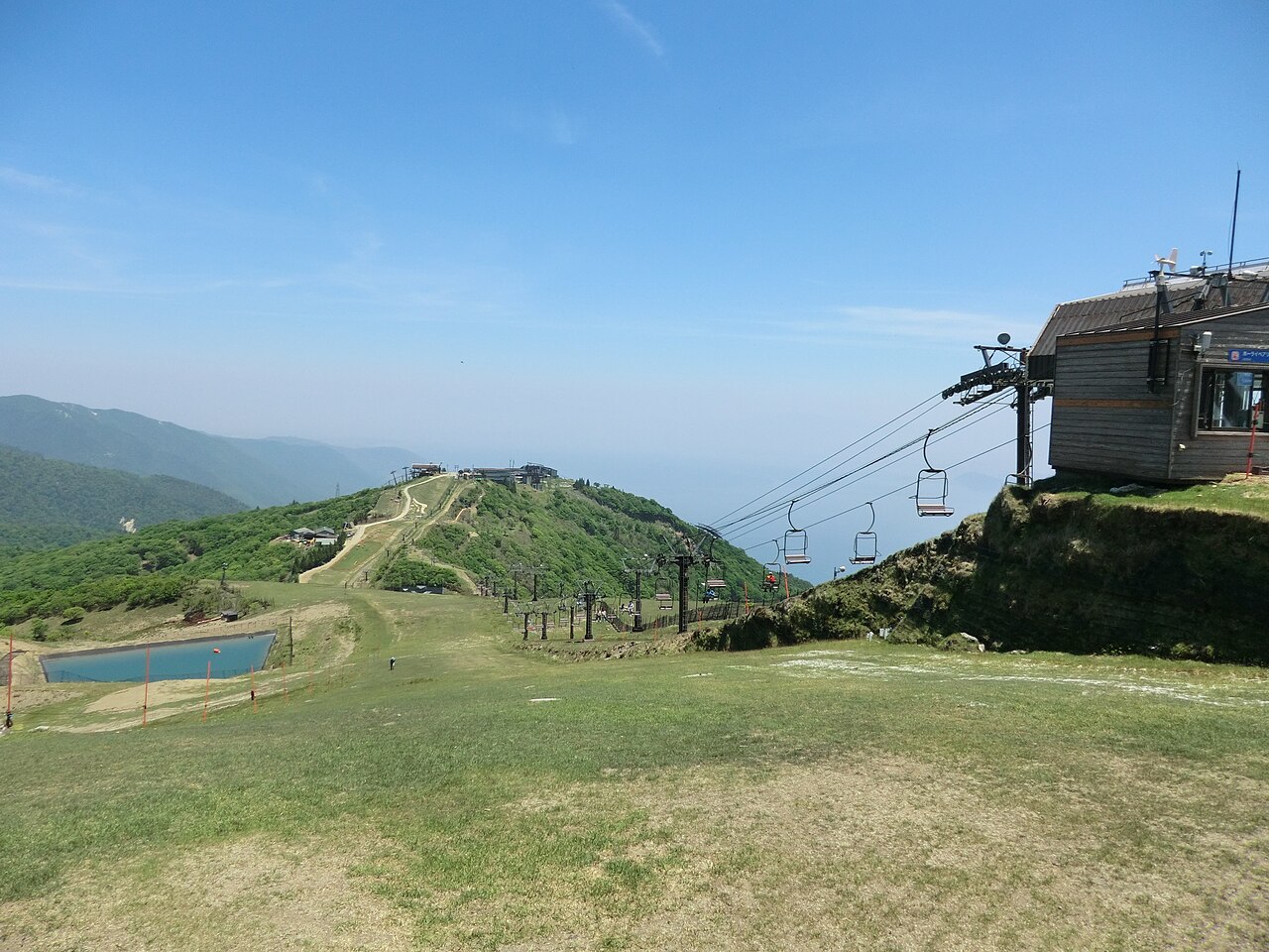
- The ropeway climbabout 800 m of vertical in roughly five minutes, run slowly on purpose so the lake reveals itself gradually
- The summit deckstiered open platforms angled at the water, so Lake Biwa fills the view rather than sitting off to one side
- The Hira ridgelinewalking paths continue from the terrace along the summit area, away from the crowd at the deck rail
- The winter facethe same slopes run as a ski area in the cold months, so the summit is open across the whole year
How to actually get there
- Kyoto Stn → Shiga Stn (JR Kosei Line, ~40 min)
- Shiga Stn → Biwako Valley-mae (Kojak bus, ~10 min, last stop)
- Biwako Valley-mae → Uchimiyama summit (ropeway, ~5 min)
- JR Kosei Line + Kojak bus + ropeway
- Kyoto Stn →(JR Kosei Line, ~40 min)→ Shiga Stn →(Kojak bus, Biwako Valley route, ~10 min)→ Biwako Valley-mae, the last stop →(ropeway, ~5 min)→ Uchimiyama summit. Total about 60-70 min plus waiting. Trains on the Kosei Line are not frequent, so check the return timetable when you arrive at Shiga Stn.
- Same route in reverse
- Ropeway down to the base, then the Kojak bus back to Shiga Stn, then the JR Kosei Line to Kyoto. The ropeway has a fixed last descent for the day and the bus timetable is built around it — check both when you go up, not when you want to come down.
About the place
Biwako Terrace sits on the summit of Mt. Uchimi, at roughly 1,100 metres, inside the Biwako Valley resort on the west shore of Lake Biwa. There is no road to the top: the only way up is the ropeway, which lifts about 800 metres of vertical in around five minutes in cabins carrying up to 121 people. It normally runs slowly — the operator gives a cruising speed of 7 to 10 metres per second — so that the view has time to unfold on the way. What waits at the top is a set of open decks built deliberately to face the water, so that the lake fills the frame rather than sitting at the edge of it. The same summit is a ski area in winter, which is why the resort runs year round rather than as a summer-only viewpoint.
How to enjoy it
Go in the morning: the ropeway queue is shortest early, and afternoon haze over the lake flattens the view. Give yourself an hour on the summit rather than twenty minutes — the decks are the obvious stop, but the walking paths beyond them are where the view stops feeling like a photo spot. Pair it with the Kosei Line lakeshore on the way back, since the same train line runs the length of the western shore.
Background & history
Mt. Uchimi belongs to the Hira range, the wall of mountains that runs along the western shore of Lake Biwa and gives the lake its sharp, close horizon on that side. The resort here began as a winter mountain — Biwako Valley still operates as a ski area — and the summit terrace was added later to make the same view usable in the green season. That double life is the reason the ropeway is built to the scale it is: 121-passenger cabins are sized for ski traffic, not for sightseeing queues. Shiga Prefecture's tourism board now lists the terrace among the headline spots of the whole prefecture.
Before you go
- Cash
- The ropeway ticket and the summit facilities take cards and IC payment, but the local bus is a cash-and-IC affair — keep some coins on hand.
- Good to know
- The summit is 1,100 m up and noticeably colder and windier than the lakeshore, even in summer. Bring a layer regardless of the forecast down below.
- Another way
- By car, there is a large paid car park at the ropeway base station; you still take the ropeway from there. There is no vehicle road to the summit.
- After you get off
- Biwako Valley-mae is the terminus of the bus route and sits at the ropeway base station — the ticket counter is right there, no walk involved.
Nearby notes
 illustration (AI-illustrated)
Nature · Shiga★
Ōmi-Maiko
6.2 km · straight line
 ccfarmer / CC BY 3.0
Nature · Shiga★
Yōbai Falls
7.8 km · straight line
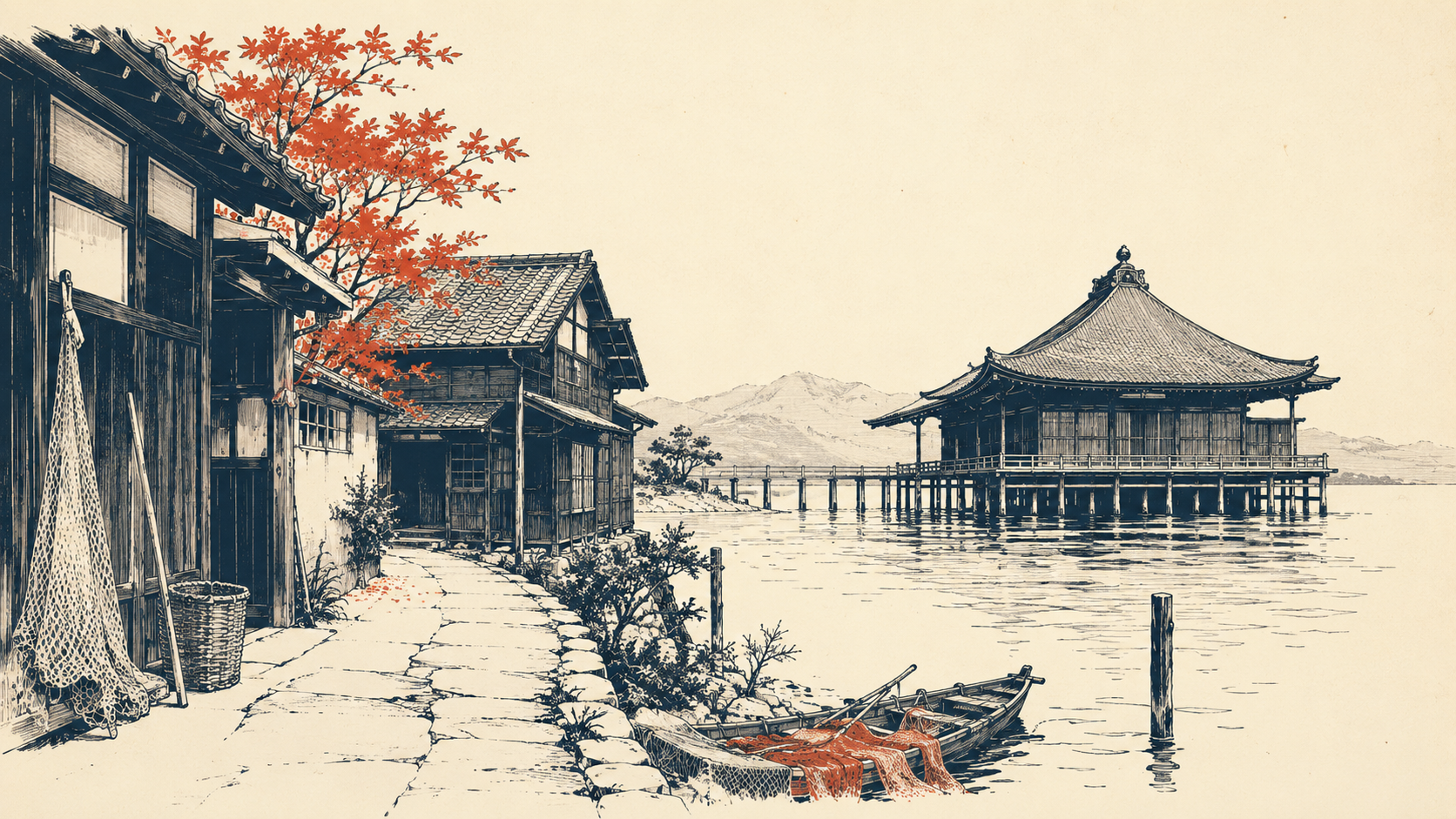 illustration (AI-illustrated)
Local life · Shiga★
Katata & Ukimido
11.7 km · straight line
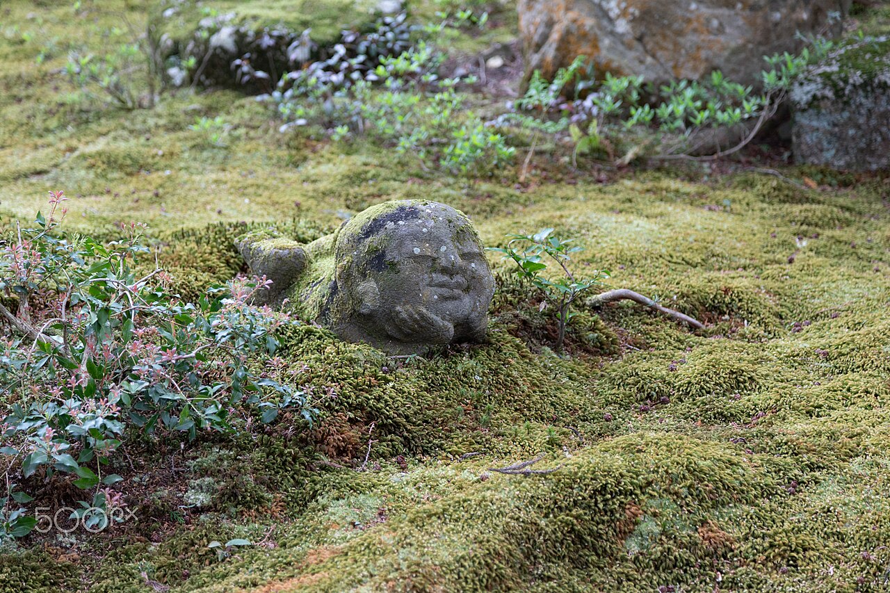 Arvined Winstud / CC BY-SA 3.0
History · Kyoto★★★
Sanzen-in
11.8 km · straight line
Distances are straight lines on the map, not travel times.