Shiga west · Hira foothillsNo.041★Open in map →
Yōbai Falls
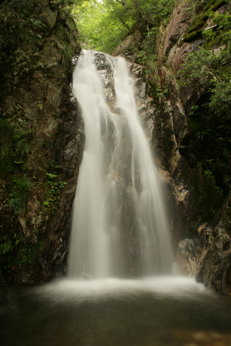
A three-stage waterfall dropping 76 metres down a granite cliff on the eastern edge of the Hira range — the greatest fall in Shiga Prefecture, reached on foot from Kita-Komatsu Station.
- FromKyoto Stn
- ~85 mintrain + walk (train ~1/hr)
- Get off atKita-Komatsu Stn (JR Kosei line)
- From there
- Yōbai Falls
The sweet spot
Most people only see the white thread of water from the moving train and travel on; the roughly 35-minute uphill walk is the barrier. There is also little travel information about it in English, so it stays off the usual sightseeing route.
Where it is
21 more notes in Shiga · open the map →What to look for — in walking order
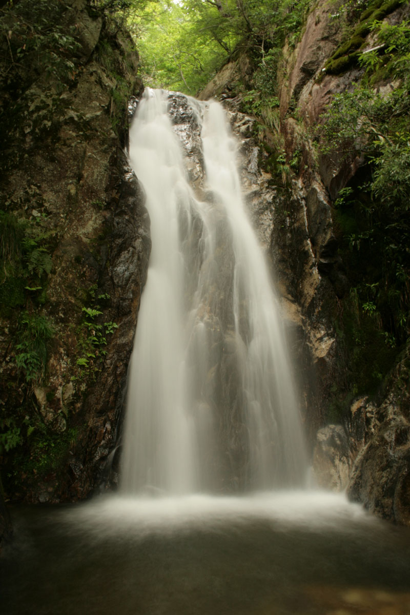
- Medaki (Female Fall)the lowest of the three stages, about 15 m, the easiest to reach from the trailhead
- Yaken-no-takithe middle stage, about 21 m, above the Medaki
- Odaki (Male Fall)the tallest stage, about 40 m, crowning the full 76 m cascade
- Seen from afarthe white streak is visible from the Kosei-line train and from Lake Biwa tour boats
How to actually get there
- Kyoto Station → Kita-Komatsu Station (JR Kosei line, local train, ~47 min)
- Kita-Komatsu Station → Hira Genki-mura area (on foot, uphill, part of the ~35 min walk)
- Hira Genki-mura area → base of the lower fall (Medaki) (trail, rest of the ~35 min walk)
- JR Kosei line, then walk
- Kyoto Station →(JR Kosei line, direct local train, ~47 min)→ Kita-Komatsu Station →(on foot, uphill, ~35 min)→ the falls. Total about 80–85 min. Note: fast 'new rapid' (shinkaisoku) trains do not stop at Kita-Komatsu, so take a local train that stops there — these run only about once an hour midday, so check the day's timetable before you leave.
- Return before dark
- Walk back down while it is still light — the trail is unlit and has exposed tree roots. Trains toward Kyoto run only about once an hour, so check the return times posted at Kita-Komatsu Station when you arrive.
About the place
Yōbai Falls descends in three linked stages down a granite cliff on the eastern edge of the Hira mountain range, with a total documented drop of 76 metres — the greatest of any waterfall in Shiga. From top to bottom the stages are the Odaki (Male Fall, about 40 m), the Yaken-no-taki (about 21 m) and the Medaki (Female Fall, about 15 m). Because the whole cascade is so tall, its white thread of water can be seen from some distance: the Shiga prefectural tourism board notes it is visible from tour boats on Lake Biwa and from the windows of the JR Kosei-line train. To reach the falls, you walk uphill from Kita-Komatsu Station for about 35 minutes along a lane and trail through the foothills.
How to enjoy it
Ride the JR Kosei Line along the western shore of Lake Biwa and watch the mountainside for the white thread of water; get off at Kita-Komatsu Station for the roughly 35-minute walk up. One path follows the stream to the base of the lower fall, another climbs a ridge with a view of the full cascade. Wear proper walking shoes — the upper stages have exposed tree roots and unlit trail. Return before dark: trains toward Kyoto run about once an hour, so check the timetable at Kita-Komatsu on arrival.
Background & history
The falls sit on Cretaceous-era granite and are also recorded under older names such as Yamamomo-no-taki, Shirafu-no-taki and Nunobiki-no-taki. By tradition the name Yōbai is tied to 1554, when Ashikaga Yoshiteru — a shogun of the Muromachi period who had withdrawn to Ōmi Province (present-day Shiga) — is said to have named the cascade after the yamamomo, a bayberry tree, while staying in the Hira area. Today the name is usually read in its Sino-Japanese pronunciation, 'Yōbai-no-taki.'
Before you go
- Cash
- There are no entry fees and no shops on the trail, so bring your own water. Buy a return ticket or top up an IC card before you leave the city, as Kita-Komatsu is a small station.
- Good to know
- The upper stages of the falls need proper walking shoes; the lower fall (Medaki) makes an easy turn-around point.
- Another way
- If you drive, there is a small parking area for about 3 cars near the trail. From the Hira IC on the Kosei bypass road it is about 10 minutes by car, then a short walk.
- After you get off
- From Kita-Komatsu Station, walk inland and uphill toward the Hira Genki-mura outdoor center; the trailhead is past it, and it is about a 35-minute walk in total from the station to the lower fall.
Nearby notes
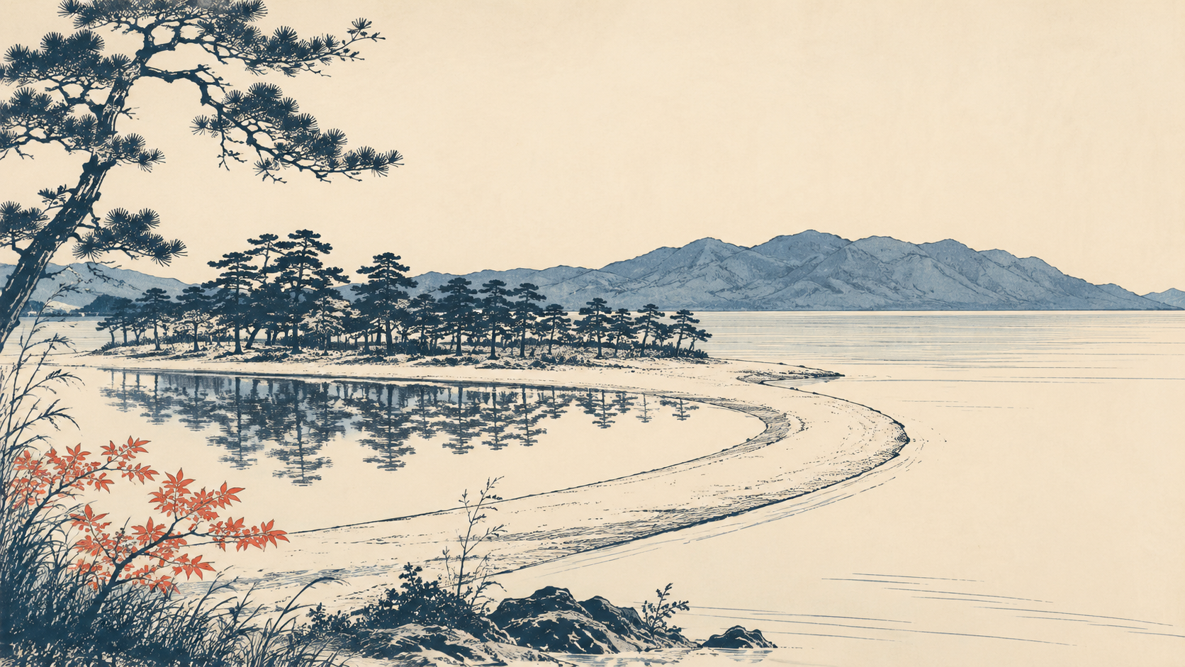 illustration (AI-illustrated)
Nature · Shiga★
Ōmi-Maiko
3.3 km · straight line
 BMW USE / CC BY-SA 4.0
Nature · Shiga★
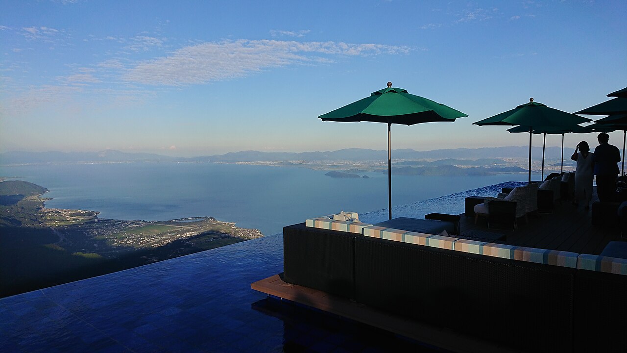
Biwako Terrace
7.8 km · straight line
 illustration (AI-illustrated)
Nature · Shiga★
Nishino-ko reed channels
16.4 km · straight line
 illustration (AI-illustrated)
Local life · Shiga★
Katata & Ukimido
17.1 km · straight line
Distances are straight lines on the map, not travel times.