Yamanashi east · OtsukiNo.115★Open in map →
Mount Iwadono
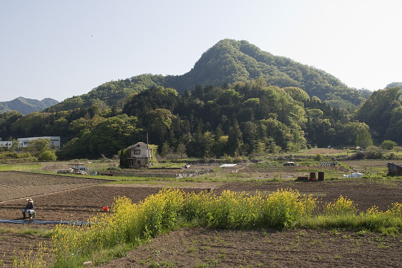
A rocky peak rising straight above Otsuki in eastern Yamanashi, at exactly the same height as Tokyo Skytree — with castle ruins at the top and a clean Mt. Fuji view on clear days.
- FromShinjuku Stn
- ~75 mintrain + walk
- Get off atOtsuki Stn (JR Chuo)
- On foot
- Mount Iwadono
The sweet spot
This is a local hikers' hill, not a stop on any tour bus route. There are almost no signs in English, you reach it on foot from the station, and the open trail to the summit shifts as rockfall damage is repaired — so it stays off most day-trip lists.
Where it is
18 more notes in Yamanashi · open the map →What to look for — in walking order
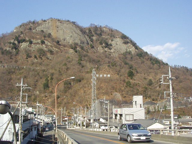
- Kagami-iwa cliffa roughly 150-metre natural cliff of cemented pebble-rock, visible from Otsuki Station below
- Chain-assisted rock sectionssteep, fixed-chain pitches on the approach to the summit
- Iwadono Castle ruinsthe remains of a 1500s Sengoku mountain fortress once held by the Oyamada clan
- No. 8 Fuji viewpointone of Otsuki's Twelve Views of Mt. Fuji; the mountain fills the gap between valley ridges on clear days
How to actually get there
- Shinjuku Stn → Otsuki Stn (JR Chuo Line, Chuo Special Rapid ~60 min, or Kaiji limited express ~90 min).
- Otsuki Stn → trailhead (on foot; nearest route ~15 min, Hatakura/Asari ~25-40 min).
- Trailhead → summit clearing (steep, chain-assisted climb; check the current open route first).
- JR Chuo Line + walk to the trailhead
- Shinjuku Stn →(JR Chuo Line, Chuo Special Rapid, ~60 min; or Kaiji limited express, ~90 min)→ Otsuki Stn. Then walk to a trailhead: the nearest (Tsuyuse / Fureai route) is ~15 min on foot; the Hatakura and Asari trailheads are ~25-40 min on foot. Total from Shinjuku ~75-100 min. Trains to Otsuki run several times an hour, so there is no sparse timetable to catch.
- Return by JR Chuo Line from Otsuki
- Walk back down to Otsuki Station and take the JR Chuo Line toward Shinjuku or Tokyo. Trains run into the evening, but come down off the mountain before dark — the rock steps are slow in shade — and check the return train times at Otsuki Station when you arrive.
About the place
Mount Iwadono stands 634 metres above Otsuki, where the Katsura and Katsurano rivers meet — the same height as Tokyo Skytree. Its summit holds the remains of Iwadono Castle, a mountain fortress from the Sengoku (warring-states) period of the 1500s that once guarded the valley roads of old Kai Province. The peak is No. 8 in Otsuki's Twelve Views of Mt. Fuji, a set of local viewpoints chosen for their outlook on the mountain. Just below the summit on the south side rises Kagami-iwa, a natural cliff of cemented pebble-rock about 150 metres high — visible from the streets around Otsuki Station. The trail is short but includes steep, chain-assisted rock sections before it opens onto a wide summit clearing. Trail conditions have changed since a rockfall in 2019; confirm the current open route before setting out.
How to enjoy it
All trailheads are within walking distance of Otsuki Station on the JR Chuo Line. Come on a clear day for the Mt. Fuji view, and in spring for cherry blossoms near the lower approach. Check the latest trail status before you go, as rockfall damage has altered the open route over the years.
Background & history
The mountain was first a site of Buddhist worship as Iwadono Gongen before it became a fortress. In the Sengoku period of the 1500s it served as the seat of the Oyamada clan, local warrior lords. In 1582, when Oda Nobunaga and Tokugawa Ieyasu invaded Takeda lands, the retainer Oyamada Nobushige turned against his lord Takeda Katsuyori rather than receive him at the castle, and Katsuyori's party met its end at nearby Mount Tenmoku.
Before you go
- Cash
- There is nothing to pay on the mountain and no shops on the trail, so carry water and some coins from the station.
- Good to know
- A working hikers' mountain with steep, chain-assisted rock sections. The open route changes year to year as rockfall repairs continue, so confirm the current trailhead and route locally before climbing. Wear sturdy shoes.
- Another way
- If you want a shorter walk to the trailhead, a taxi from Otsuki Station to a farther trailhead is possible; ask at the station taxi stand.
- After you get off
- All trailheads are within walking distance of Otsuki Station and reached on foot. Because signage and the open route change year to year, confirm the current trailhead and path locally before you set out.
Nearby notes
 Aimaimyi / CC BY-SA 3.0
History · Yamanashi★
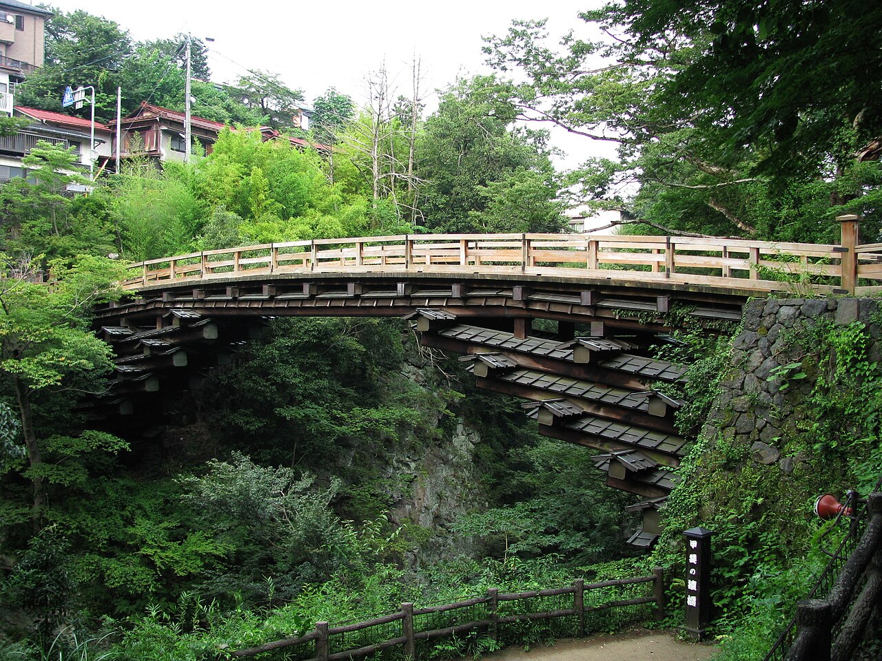
Saruhashi Bridge
2.9 km · straight line
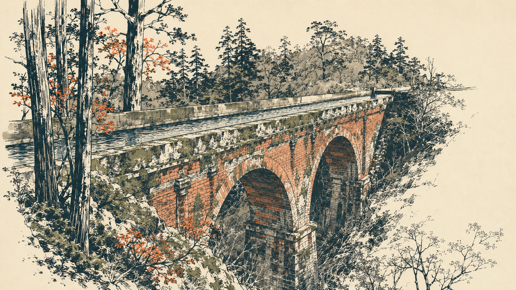 illustration (AI-illustrated)
Craft · Yamanashi★
Yatsuzawa Aqueduct
3.0 km · straight line
 illustration (AI-illustrated)
Nature · Yamanashi★
Tokaichiba-Natsugari Springs & Taro-Jiro Falls
10.6 km · straight line
 ISAKA Yoji (cory) / CC BY-SA 3.0
Local life · Yamanashi★
Roadside Station Doshi
13.5 km · straight line
Distances are straight lines on the map, not travel times.